


Whitehouse Mtn. Cliffs – April 25, 2019
I have been to Whitehouse Mountain Cliffs many times over the years as it is one of my most favorite places located in what I call ‘my backyard’ however, my son Tyler had not yet had the pleasure of this experience. He was with us on a trip down the spine of the Flint Mountain Cliffs that sit just across the valley from the Whitehouse Mountain Cliffs back in April 2016 so, he has seen the best view possible of them but, we have not taken the time to get him on them until now. It was a brisk Spring morning as we began our trek out of the new parking lot in Rocky Fork. As you may already know, I am not a big fan of the whole ‘Rocky Fork State Park’ thing but, I will agree that a parking area was needed and now there is a rather large one to make it easier for the masses to access this pristine wilderness environment. The creek was flowing nicely as we made our way up the old (and newly graveled) road so, we stopped momentarily to enjoy the popular ‘triple waterfalls’ there.


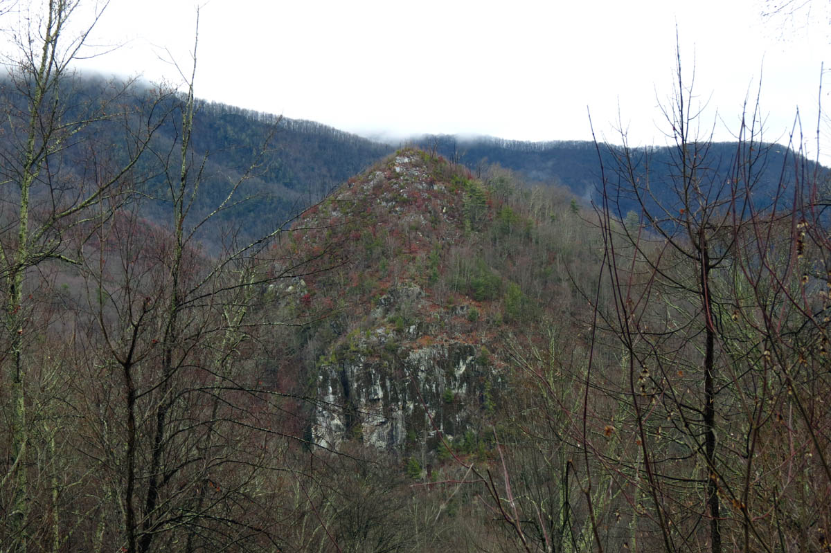
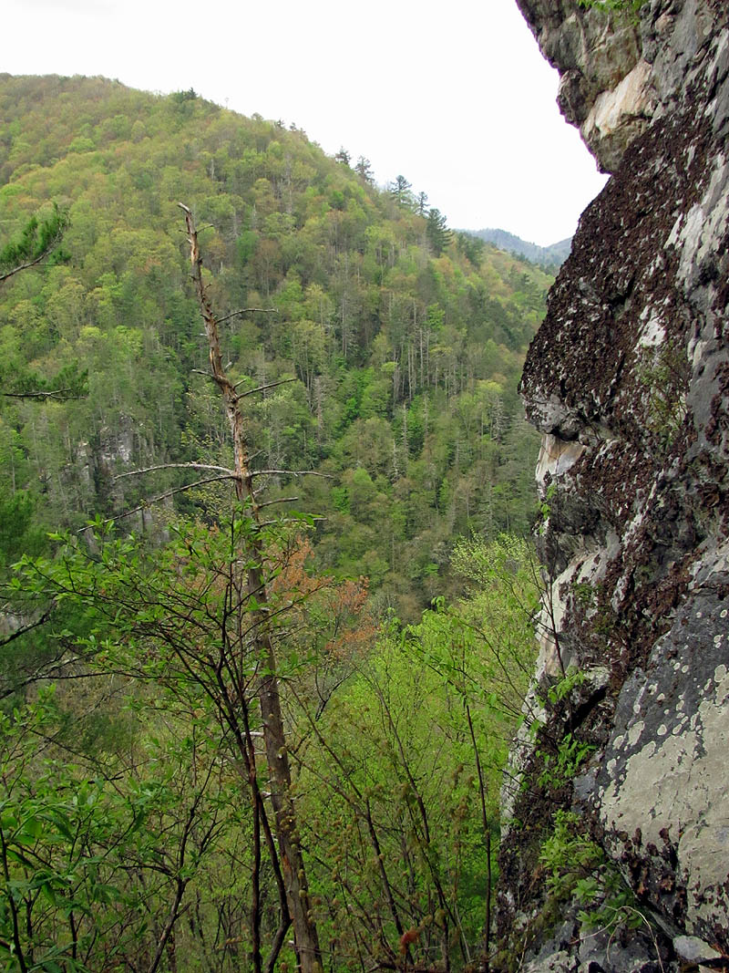
It is not far before you walk under the jagged topped Flint Mountain Cliffs on your left and just afterwards you can catch glimpses of the much higher and larger Whitehouse Mountain Cliffs on the right side if you know where to look. Just beyond this is the now well worn and newly signed trail that leads up towards Whitehouse Mountain. This was once a narrow, seldom traveled route that only a few folks ever ventured on. It is now an official trail large enough to guide an entire pack of mules along it if one so desired to ! It leads to the gap behind Whitehouse Mountain where it used to end and a steep bushwhack was required to climb up and onto the spine ridge of WH mountain. There is now a well worn route cut and marked with obvious signs of the hordes of people that now trample upon her on a regular basis. They have actually dug a brand new trail to the base of the cliffs that starts at the parking area but, I`ll get to that later in this report. Tyler and I completed the short but, steep climb to the boundary ridge trail where we would make the slow, super steep, ascent up to the summit of WH mountain.


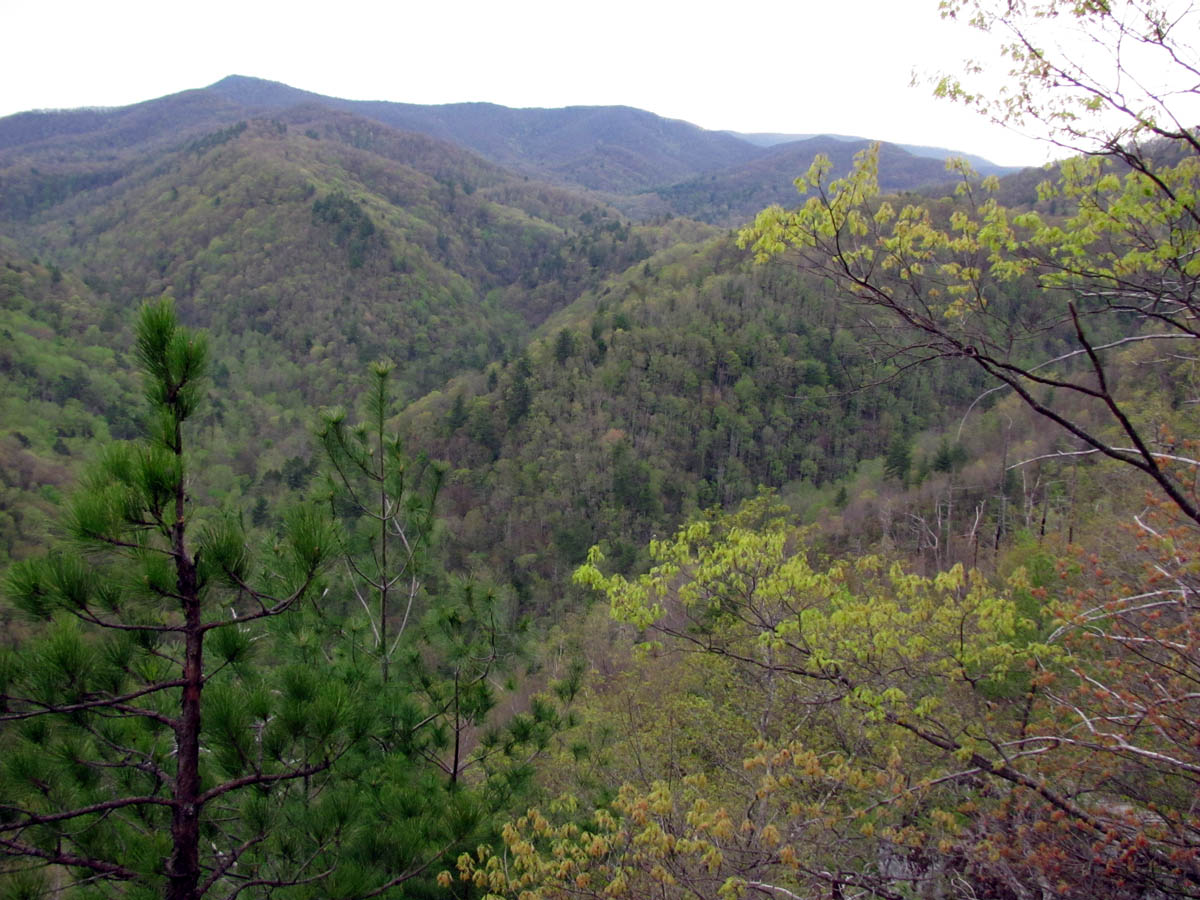
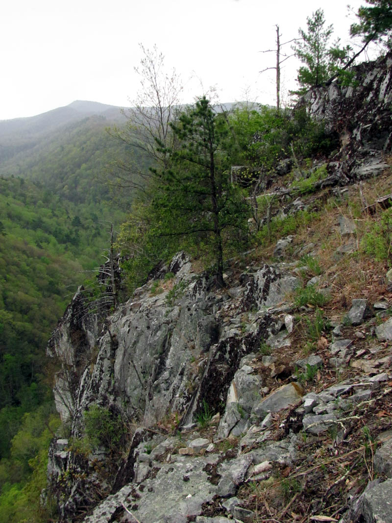
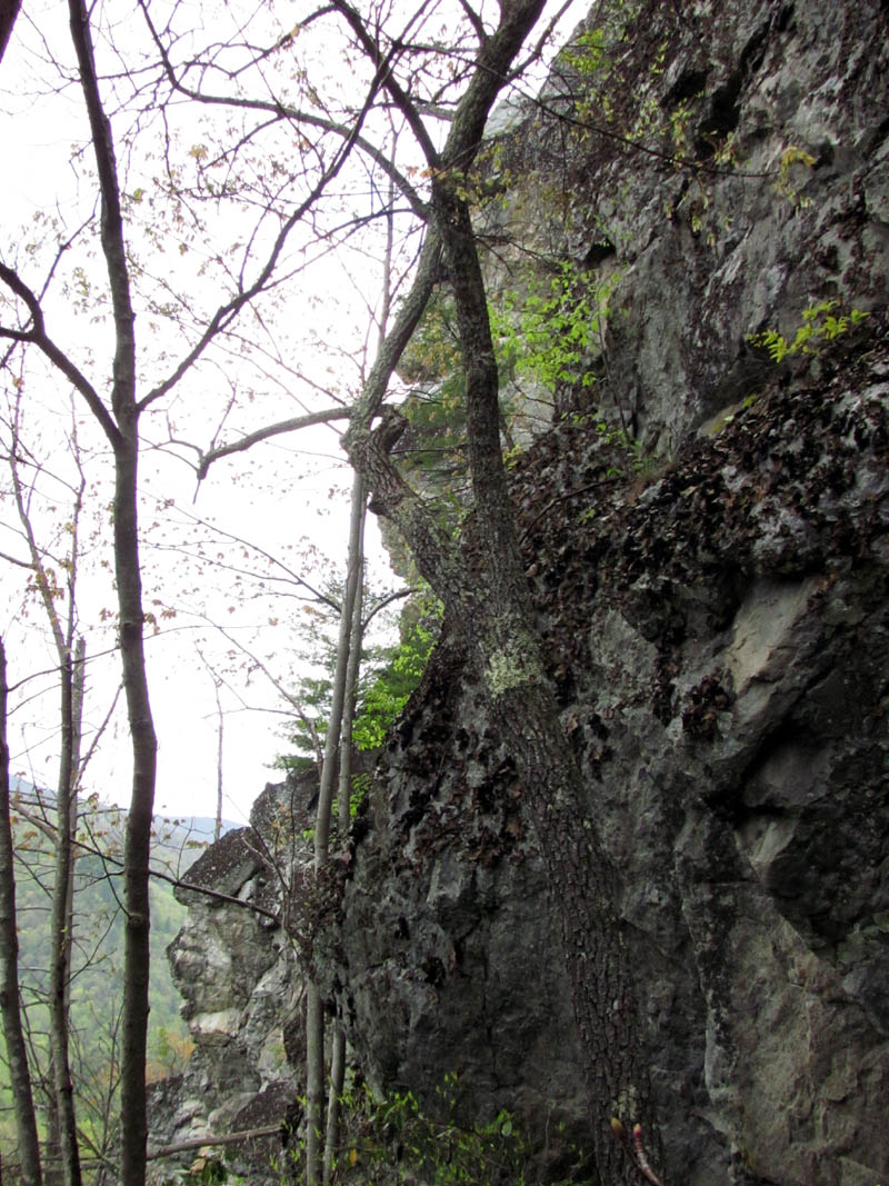
It had been a few years since my last trip here and during that time there has been a lot of growth on the summit and the route down to and around the top of the cliffs. I was surprised by this as I expected it to be all trimmed back to improve the views and make the area around the cliff tops safer for the increased number of visitors they have purposely attracted there. Perhaps it may be to help deter them away from the edge ? Either way, I noticed I could not hardly see the Shrine Rock aka Dragon`s Tooth rock from the cliff found just above it after we made the slow and careful descent down the unmarked rocky ridge that leads down to the main cliff tops. Unfortunately for us, the clouds were moving in and a light rain was starting to fall. Not conducive for climbing or descending cliffs ! Tyler put on his rain jacket as we approached the top of the cliffs. With all the growth around the edge, it looked nothing like it did on my last trip here.


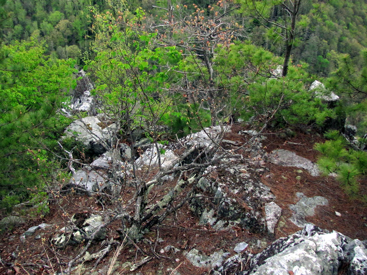


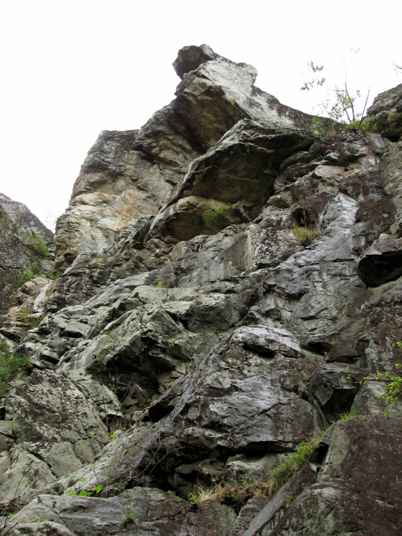
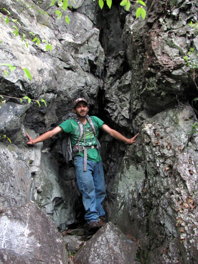
We hung out at the Monkey Head Rock Spire and Shrine Rock for awhile before making our way along the top ledge to the middle of the cliffs. (we were unable to climb out on The Spire due to it being wet) There was another purpose for this trip besides to show Tyler the cliffs and that was to measure the height of the vertical part of these amazing rock formations. Why you may ask ? Simple ! For years we have wondered this as many have stood with us on their highest points and declared their guesses as to how high they were. I have heard everything from my guess of around 150 to 250 feet (as they are taller on one side than the other) to 600 and even 1200 feet etc. We were there on this day to resolve that question but, mainly we needed to determine if our climbing rope is long enough to climb / rappel down them ! We would be using two methods to accomplish this. One would be to record GPS way-points from the top and the base which would tell us the elevation between the two points and secondly we would use a roll of fishing line to tie at the top and throw it down to the base to measure the actual distance that would be needed for a rope to span that distance. I chose a tree that used to have a strap tethered to it years ago (2013) that climbers were using for their ropes back then and proceeded to throw the roll out and down as hard as I could ! Not knowing where it ended up at, we then had to take the multi-terraced ninja ledges to continue as safe as we could along the rest of the now wet cliff tops to reach the narrow talus flow on the opposite side as it leads down to where the route to base of the cliffs can be accessed. The rain had made this VERY slick and due to the new growth I actually missed my old route and had a close call as I slipped a ways down a steep, slanted, drop off where we had to backtrack some and get on a higher and safer route. I was glad to get off the cliffs and down to the base.


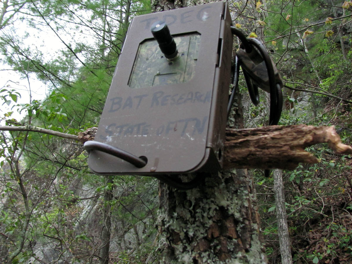
When we reached the turn off for the cliff base, we then seen where the brand new trail the ‘guv’mint’ is building to access this area comes in at. Looks like it is also going to eventually connect to the top of WH mountain although, it is not completed that far at this time. There was also some peculiar metal boxes strapped to various trees there (and other places) which upon closer inspection seem to be for studying the local bat population. From there I showed Tyler the best way to get over to the cliff base so we could hopefully find our roll of fishing line.


Once we were at the point where the fishing line should have been we could not find it as it seems the cliffs are not as vertical as they appear from other viewpoints. Closer investigation revealed a large channel, a crack of sorts that runs behind a tall, nearly vertical slab of rock which was apparently part of a series of these as the once thought vertical wall is actually a series of step-downs with large chasms in between each one. Despite being able to throw the roll of line really far out from the top, it still was not enough to clear all of these so it ended up in the bottom of the lowest one. Reaching this was tricky to say the least, mainly due to the slickness of the rock due to the rain. Luckily Tyler was able to find a route up as he free climbed some sketchy areas to reach the gut of the deep and narrow chasm where he was able to find our line. He threw it up and over to where I could get it and mark it once I extended it down the base where one would be standing if climbing or rappelling. It was much trickier for him to get back down than it was to climb up ! Once that was done, I pulled it down so as not to leave any of it and rolled it all back up so we could take it home and lay it out and get an accurate measurement.
Note: (The measurements ended up being 107 feet of elevation (GPS) between the top of the cliff and its base where we were standing at that time and 198 feet of line used to reach between the two points)
That being finished it was time to complete the tour along the cliff base over to the bottom of the big crack that is between the ‘separation rock spire’ (one known as the Separation Rock Spire or as I like to call it the ‘Monkeyhead Rock Spire’) and the highest part of the cliff which is what the Shrine Rock sits upon at its edge. Tyler was very impressed with these cliffs and we both vowed to come back and do some climbing and rappelling soon. The rain was still light but, was showing no signs of letting up so we could not stay as long as we wanted to. Fortunately we had done what we set out to do so we made our way back along the cliff base to the talus where we would take this brand new trail back to the parking lot to see what it was all about and complete the loop.


It is a decent trail although a lot of work is still needed. I am sure they will have it all done within the next year or so. I am anxious to see how far up it will go and where its planned destination is. It made walking back down to the vehicle much easier although I would still prefer it not exist at all. It led us right to the parking area and we proceeded towards home stopping only to get a couple pics of the falls and creek along the road. It had been another great day spent in Nature and we are already looking forward to the next adventure. Until then,,,


Tags: cliffs, rat, ratpatrol, rattreks, rocky fork, whitehouse mountain

 My name is 'RAT' and I love the mountains and waterfalls of the East TN. area where I live and I hope you enjoy this blog about my outdoor adventures.


Leave a Comment