


Devils Creek Part 1 : 1-29-2011
After several days of warmer temps with much snow melted in the lower elevations, it was decided by my friend Bol’Dar and myself that we would attempt to cross another expedition off our long list of places to hike. This priority being the Devils Creek watershed area located on the TN/NC state line. Leaving Hairnt-quarters around mid-morning we arrived at Spivey Gap shortly after 10 am only to find knee deep snow still there making it nearly impossible to even pull the car off the road ! Luckily it was cold and frozen solid so I managed to drive off into some large truck tracks and park, hoping it would not be sunk to the axle when it melted later that day. I had hoped to not hike in anymore deep snow but it was not to be as there was still plenty to be found in the higher elevations and especially on the North and shady slopes of the mountains. Going North on the A.T. it was not as difficult as it looked as the snow was frozen very solid and we were able to crunch our way across the top of it without issue. There would be a large blowdown right off the bat but the first oddity of the day would be these strange orange plastic things that were fastened to short pieces of reebar sticking up in the ground off to the sides of the trail leading towards Oglesby Branch. Not sure what these were for as there placement was very random. Our first break would be at the bridge crossing over the branch where we recalled stopping at so many times in the years before, back when the Rat > Patrol Hiking Club was in full swing some 20+ years ago. It was covered with deep snow but the sun was shining intensely and it felt good to be in the woods breathing the crisp mountain air.
Edge of Flattop Mtn. just before Devils Creek Gap

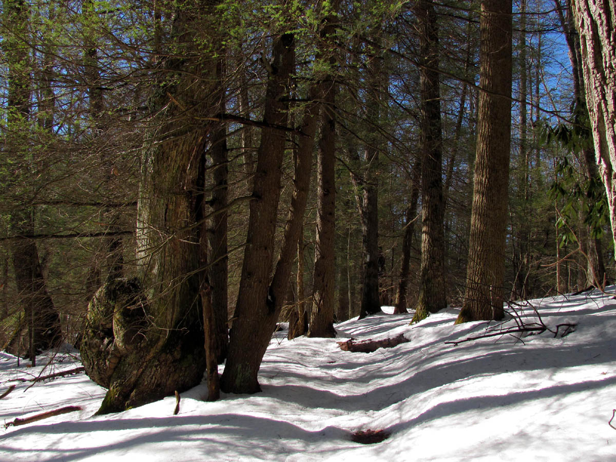
tree with butt pooched out so far you could cut lockwashers !
After a short break we continued onward and upward following the branch through the deep snow, over the next bridge and up to where the large field is on the edge of Flattop Mountain where eventually the trail crosses the gravel road that leads in from Spivey Gap. This is very close to what is called Devils Creek Gap. We used to follow the road behind the gate here many years ago, which leads down to a field where there is a secret, hidden ‘ninja trail’ that was once an old sled road that leads over to Lost Cove. (this trip is also on ‘the list’ of things to re-do) After another short break here, we continued down the A.T. following some coyote tracks until we reached the actual gap where there is an old 4wd road that leads off to the left ending up in a place called ‘Can Lot’ but we took our exit off the trail here taking the ‘road less traveled’ down to the right which takes you down into the headwaters of Devils Creek. The road starts off fairly good and the deer seem to like it here, but quickly becomes overgrown and eventually disappears in many places. It is hard to imagine that at one time there was a log road or railroad that led all the way to the river from this point as many years of flooding and growth have certainly taken its toll on this part of the back country. Following fresh bear tracks, we made our way down into this ever deepening hollow past the spring down to where the old road trail basically ends right into the creek. From this point, it is just a matter of finding the path of least resistance. Not far from this point we veered off to the right following what we thought was the way, but ended up at a very nice and quite sizable set of cascades. It is finds such as these, especially during high water periods that makes my adrenaline level rise.

Cascades found in upper Devils Creek area
Having to backtrack slightly and find another route which ended up basically in the creek, we passed by several other smaller cascades and tributaries as the creek was steadily growing in size as we made our way down deeper into the long, twisting valley.There are several decent sized water sources flowing into the Devils Creek from both sides as you make your way down the creek which explains why there is so much water at the many waterfalls that reside at the end right before it enters into the Nolichucky River. We had hoped to make it to that point but due to the lack of trail and deep snow, it was rough going so we would fall short of our destination and would have to come back again, next time from the bottom up, hopefully connecting to the point where we would leave off on this trip.

Cascades along upper Devils Creek

Dancing Vine
I was already very tired from negotiating down this very rough terrain through the deep snow and creek walking and was not looking forward to the long return trip back up to the gap not to mention the extra two miles back on the A.T. to the car. At this point, I was wishing we had left a second vehicle at Unaka Springs so we could continue down to the bottom and walk out the tracks to it, but it was too late for those thoughts ! Realizing that it was getting late and that we would have to abort our mission, we picked a stopping place in the sun to take a long break, eat some food and dry my feet and boots as best we could. (I do carry extra socks) This would seem short lived before the long, arduous journey back up and out would begin.

Cascades along upper Devils Creek
The snow had become quite mushy by this time and it was not as easy to trek through and made for wetter boots. After what seemed like forever I could finally see the gap above us. Of course it took another forever to actually get to it but I was very glad to finally be back on the A.T. where walking would be much easier on my tired, lactic acid filled legs.

Sun setting along the trail
The sun was setting low by the time we reached Devils Creek Gap, so we did not rest long before continuing on our way. By the time we crossed the 4wd road and passed by the field, it was already total sunset and nearly dark. We attempted to capture it with a few photos, but it was hard to do from this vantage point and within minutes it was pitch black dark. I took out my headlamp (to which I was teased about by Bol’Dar as he disappeared into the darkness ahead of me without any light source) and made my way carefully down the steep, now very slick and still snow covered hill into Oglesby Branch. It was rough going in the dark even with a headlamp, mainly due to the now mushy deep snow, but I managed to make it back to the car without incident. I was praying the whole time that the car would not be stuck when we did finally get there. To my great relief, it came right out without any trouble. I was exhausted and glad to be finally out of the snow as I have had my fill of it for this year but was already making plans for our next trip to the waterfalls of the lower Devils Creek Valley.

Sunset from edge of Flattop Mountain

 My name is 'RAT' and I love the mountains and waterfalls of the East TN. area where I live and I hope you enjoy this blog about my outdoor adventures.


One Comment to “Devils Creek Part 1 : 1-29-2011”