


Jerry Miller Trail (Whiteoak Flats) – 1-12-2013
With the water levels still being kinda low on the Tennessee side we decided we would have to once again travel over to the North Carolina side to find any decent waterfalls to check out. Looking down ‘the list’ I noticed that we had not yet explored the Jerry Miller Trail also known as the ‘Whiteoak Flats Trail’ # 286 (although some maps will show #290) . I recall reading somewhere that there was a 100 feet high waterfall along that route so I decided we should go check it out. Dave Aldridge, Bol’Dar, and myself met at Hairnt-Quarters around 9am on a chilly Saturday morning and drove over to the Shelton Laurel area in Carmen, NC. The road dead ends where the gravel forest road #111 begins. You have to cross Dry Creek there just above where it enters into Big Creek, which does require a high clearance vehicle but, Dave’s car managed to make it with only minor dragging of his trailer hitch. The road is smooth from that point on and after about a quarter mile you will easily see the trail-head parking on the left.
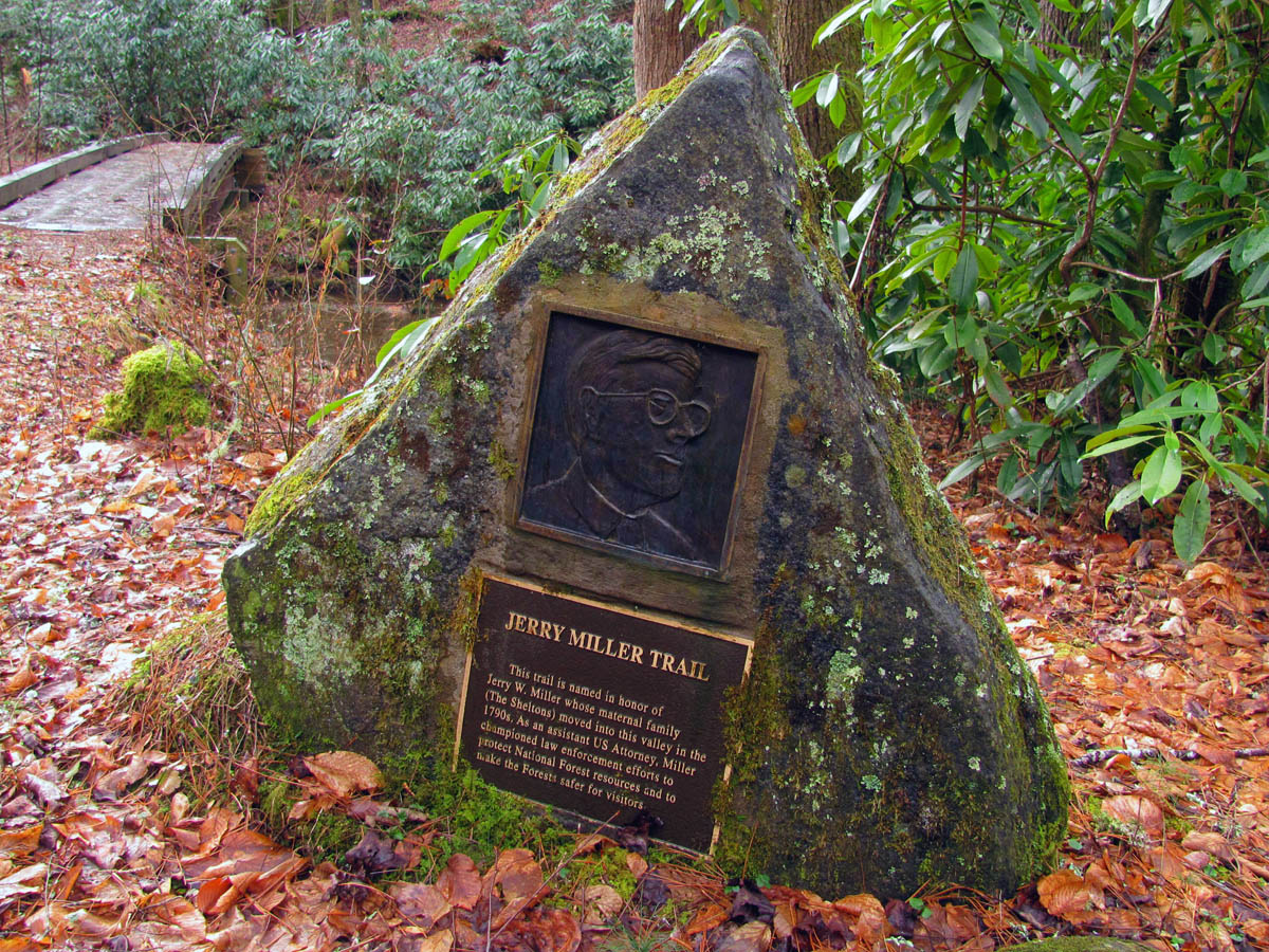
Plaque at the Jerry Miller trail-head
From there the trail crosses a well built wooden (and very slick) footbridge over Big Creek and proceeds to follow the creek downstream until it soon climbs up to the narrow ridge above. Once on the spine of the ridge, it switches back to the right and crosses over where it follows that other side overlooking the ‘Whiteoak Flats’ Branch and hollow located there. We could hear both creeks roaring on either side while standing on the crest of the ridge. The trail continues uphill, well above the creek for at least a mile until you come to the waterfalls which will be on your left. They are very nice falls especially when there is ample water flowing over them, but they are not 100 feet in height by no stretch of the imagination. We did not climb down to the base of the falls on our way up, but did stop on our way back where Dave used his laser ‘hypsometer’ to measure the falls at about 60 feet.

Crossing over Big Creek near the trail-head

Waterfalls on the Jerry Miller Trail

Waterfall along the Jerry Miller Trail

Bol’Dar and Dave viewing the falls along the Jerry Miller Trail

Upper part of the falls as seen from above on the Jerry Miller Trail
The trail passes by above the falls and continues to climb steeply to the top of them and beyond until it begins to level out on the old road (now just a trail) as it approaches the ‘Whiteoak Flats’. We could see the old trail that goes down steeply to the creek but that will end up in someones backyard where you can hear dogs barking so we will have to make sure and not make that mistake coming back. I had to wonder how many have done that ? You will cross the Whiteoak Flats Branch a couple times before you reach the flats and there are other tributaries you will find once you get there that also feed into this stream. The flats are nice and you can tell this must have been an old homestead of sorts back in the old days. Apparently some sort of cultivation was done here although trees have taken over the biggest part of it and we did not explore much off trail to see if there are any remnants of old buildings. I have been unable to locate any history of this area so one would need to speak with the locals to get any accurate details.

Hiking the Jerry Miller Trail just above the falls

Jerry Miller Trail almost to Whiteoak Flats

Tree art ?

The beginning of Whiteoak Flats

Whiteoak Flats

Whiteoak Flats
The old road trail continues through the flats and soon enters back into the woods. We stopped at a nice campsite for lunch just before the trail curved around and came to a split where going to the right, the yellow blazes continue to the end of the road where the Jerry Miller Trail goes into the woods and begins the steep ascent to come out at ‘Bearwallow Gap’ on the Appalachian Trail just before the ‘Blackstack and Whiterock Cliffs’. Choosing to go left instead, it splits again into several directions but the main road goes over the ridge there and descends down into the Little Prong Valley on forest road #465. This is listed as the ‘Whiteoak Flats’ Trail but after a mile or more you will have the chance to turn right and go up Hickey Fork Branch or go almost another mile and take a steep ridge trail to the right instead, which both leads to the Pounding Mill Trail that comes up from the West Prong of Hickey Fork (on forest road #465) and leads all the way to the AT on ‘Seng Ridge’ near the Viking Mountain towers. There are many cascades and waterfalls in the upper regions of the West Prong of Hickey Fork but the laurels are thick and it is not an easy trail. I hope to check that out sometime soon.

Bol’Dar making his way at the upper end of Whiteoak Flats

Large rock found near end of road to right like going towards trail to the AT

Standing near Big Knob looking down into the Little Prong Valley. The Viking Mountain towers are on mountain in far distance.
We decided to stop at the top of the ridge where the road splits off into several directions near Big Knob for a long break before returning back the way we came. We could see the Viking Mountain towers off in the distance and knew we were just below the Baxter and Whiterock Cliffs. We could see the steep ridge leading that way above us. I hope to be able to do a loop hike in this area again sometime in the near future. There are so many trails in this area that one could spend several days hiking and camping and still not see it all. It is truly a vast back-country area worth the time and effort to explore it. We did meet two guys doing just that. They had hiked up the Fork Ridge Trail the day before and spent the night at Jerry Cabin Shelter on the AT and had hiked across ‘Firescald Ridge’ and were coming down the Jerry Miller Trail. While we were talking to them another guy was on his way up, out for a day hike. After a while we resumed our hike back down the mountain.

View from our stopping point near Big Knob. The pointy mtn off in the distance is where the Viking Mtn towers are and the steep ridge to the right leads up to the Whiterock and Baxter Cliffs

Waterfalls as seen from above along the Whiteoak Flats Trail
Going back was easier being downhill so we soon were back at the falls where we climbed down to the base and attempted to get some pictures. Even though it was a very cloudy day and had actually been sprinkling rain, it was still brighter than what was needed to get any decent shots even by using filters but, we did what we could before climbing back up to the trail and making our way back down the ridge to the car. I have read several times that these falls are not that nice and not worth making a special trip to see and I might could agree with that if it was very dry with no water flowing, but during decent water levels, I would recommend going to these falls anytime.

View of falls from below

View of falls from below

Bol’Dar beside the falls

Falls as seen from below

Falls seen from below

Falls seen from below

Falls as seen from a distance
We could see Big Bald shining in the sun off in the distance on our way back down. I zoomed in to see if it was snow or just the sun shining on the grass. It had been a great day of hiking with at least 4 miles round trip with some good steep climbing for a good workout. The water levels were still decent which made for a nice waterfall which made the trip worthwhile. I can now check ‘Whiteoak Flats’ off ‘the list’ and I can`t wait for the next adventure.

Large ‘whale-rock’

Looking at Coldspring Mountain where the A.T. runs (near Shelton Memorial Gravesite) (Rocky Fork is on the other side)
To see the complete set of photos of the Jerry Miller (Whiteoak Flats) Falls, please visit the Photo Gallery here.

 My name is 'RAT' and I love the mountains and waterfalls of the East TN. area where I live and I hope you enjoy this blog about my outdoor adventures.


One Comment to “Jerry Miller Trail (Whiteoak Flats) – 1-12-2013”