


Pond on No Business Knob – 11-6-2011
For over 20 years I have been telling about a pond on No Business Knob but, I can always see the doubt and disbelief in peoples eyes when hearing that story so, the time finally came when I decided a trip was in order to revisit the pond to not only verify its existence (as I had no pictures of it) but to also prove to myself that I did not imagine it ! My friend Bol’Dar was also anxious to see this pond because after hiking the Appalachian Trail across the knob and having climbed off trail to the summit of this gnarly hill where it is apparent that being aptly named, one has ‘no business’ being there, it is really hard to imagine a pond being anywhere in an area so steep and rugged. I had discovered this pond many years ago quite by accident when attempting to find a trail that would lead into the Devils Creek Valley in hopes of not only finding an easier way to get there but also eliminating having to walk so much on the railroad tracks. Of course we now know that there is no easy way to this rugged and pristine wonderland and perhaps that is a good thing as many times inaccessibility is Natures way of protecting some of her most prized treasures.
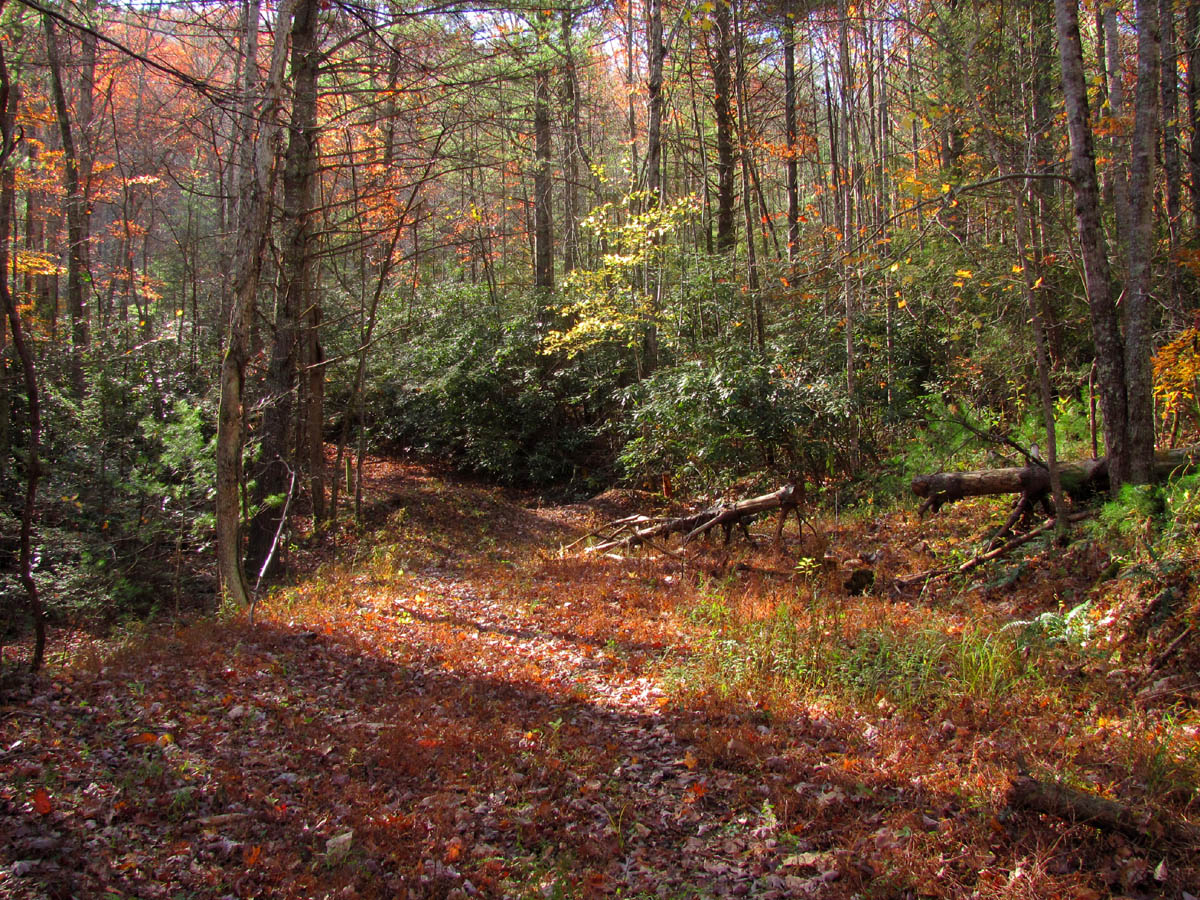
Trail-head at Unaka Springs
It was a warm Saturday in early November when we began our adventure at Unaka Springs in the Chestoa area. The trail was previously an old forest road that we used to ride jeeps on back in the day but, a new road was put in above it some years ago coming in from Mine Flat so the road was closed and is now a foot trail that eventually leads to where the newer access road comes in. It is a nice trail which easily gains elevation above the Nolichucky River and the adjoining creeks rather quickly. We could already see part of Unaka Mountain and the high ridge above the Jones Branch Valley over from us. I spotted a small cabin that sits above the Jones Branch Valley way off in the distance which I managed to get a zoomed shot of. There was still some nice colors here and there and we were surprised to hear a substantial amount of water flowing from the creek (Mine Branch) below. The trail winds around and goes back into the first of many hollows and resembles what could have once been an old narrow gauge railroad route. It is at least a mile or more to the head of this hollow where you cross Mine Branch and make your way to the other side of the hollow and climb up to reach the new part of the forest road coming in from Mine Flat. Taking the road to the left we knew it would be at least four more miles to where I thought the pond was. Just before reaching the head of Mine Branch Hollow, we came across an odd sight: an 80`s model Subaru sitting right in the middle of the creek ! It looked as if something had been nesting inside! After walking a short distance on the trail after crossing the creek which ascends up the other side, I could look down and still see the car. My theory is that it careened down the hill from the new road at one time. I am surprised that it has not been removed by now considering the value of scrap metal these days.

Subaru in Mine Branch
Following the road we were soon on the other side of the Mine Branch Hollow and could get some visuals of the narrow rocky ridge above the trail we came in on. We also got our first view of Temple Hill. As we made it to the point of the ridge around the first corner (which would take us over into the next hollow being above Long Branch), we had gained even more elevation and got our first good view of the Nolichucky River Gorge where the railroad that leads to Popular, NC lies below. We then had a birds eye view of the rocky cliffs below the Unaka Mountain Range which are located just above the river but, due to the steep ridges on our side of the river, we were unable to see the river itself but could see only a small part of the opposite bank just before ‘Ephraim Place‘ which resides atop of the far end of the Unaka Mountain Range. I even picked out the Pinnacle Mountain Lookout Tower on Buffalo Mountain in the far distance. We were also beginning to see the top of Flattop Mountain and the dark, steep ridges beyond [which are above Lost Cove] looming well above everything. Looking toward the Lost Cove part of Flattop Mountain we spotted some interesting looking rock cliffs on the main ridge across from us that I am sure we will be back to investigate later.

Temple Hill

Rocky Cliffs in the Nolichucky Gorge

Flattop Mountain as seen over the distant ridge top
After going over and around all the ‘ridge fingers’ (as I call them) , traversing in and out of the hollows for each one, we eventually reached the high point and could see No Business Knob before us getting closer with each step. After the high point we actually went down hill into the last hollows between us and our destination. It was actually more ‘down‘ than I expected. I could see what I knew was the main ridge line above the Devils Creek Valley (between us and Flattop) getting closer so I knew the pond location was not far away. There were three more ridge ‘fingers’ each with its own hollow we had to go in and around, the last two of which had creeks flowing in them (which form Long Branch) before we came to the point of the last one and reached the intersection where there are roads going in 3 different directions. Although I could only remember the one road being there, I knew we were at the pond location, I could feel it, but, was it still there ? As I passed by the road to the left (the one I do not remember being there before) and looked straight ahead down the road we were on that I knew would continue not much further and dead end on the Devils Creek Ridge, I noticed another road I did not recall going up the hill to the right and as I rounded that corner, there was water seeping down the road and then I saw it,,, the pond !

No Business Knob

Pond on No Business Knob
Bol’Dar was surprised and impressed while I was elated like being reunited with a long lost friend from many years ago. It had been a long five mile hike to reach this point so we proceeded to the other side of the pond and dropped our packs for a long rest and snack break. The sky was a brilliant blue with just a few wispy clouds and there were some large birds circling overhead as if they were guarding the area. I took advantage of the still water and had some fun using reflections on a few pics. Since there were several options available as to which route we would use for our return trip, we had to make a decision. Not desiring to retrace our steps, and not wanting to descend into any of the steep, trail-less hollows to only end up walking the railroad tracks out, we weighed the option to go up the hill to connect with the Appalachian Trail near the No Business Knob shelter and go North on the trail a few miles to Temple Hill Gap where we would take the Temple Hill Trail down to Mine Flat and walk the old forest road out from there to the paved road and down that road to our vehicle. It was five+ miles no matter which way we went and we knew since it was getting late in the afternoon (3 pm) that we would most likely end up walking in the dark, so feeling adventurous we decided to go up to the AT and do a loop hike. There were some flaws in this plan, however.

Pond on No Business Knob

Pond on No Business Knob
The trail that leads from the pond to near the No Business Knob shelter is no longer easily visible and having not been there in well over 20 years I could not remember exactly where it was at. Since I did not recall the road going up the hill in that direction, it was assumed it had been cut in there since then and took the place of the trail which was no longer visible. Of course this was wrong ! We followed the road up this steep hill up and up and we noticed it kept going further and further out to the left instead of up the hill which I knew was not correct. When it finally crested the top of the ridge which I knew was the one overlooking the Devils Creek Valley and started to go down into that, I knew we were definitely going the wrong way ! Knowing how rough it is down in that valley and how hard it would be to ever get out of there, I stopped dead in my tracks and instructed a hasty retreat back to the pond to start over. I could not help but wonder exactly where in Devils Creek that road would come out or dead end at. I would check that on the magic map at a later time but for that moment, we had wasted valuable time and a lot of energy climbing that hill. It did not take long to get back down to the pond where we quickly poked around in the woods behind the pond and found the old trail, now a hidden ‘ninja-trail’ leading in the right direction up the hill beside the rock cistern where the spring that feeds the pond is located.

Old rusty steel cable found on the trail leading up the hill from the pond

Huge tree growing on top of a large rock beside the trail (AT)
It was good to at least know we were going in the right direction although the trail was no longer an obvious one. There was eventually some fresh pink tape along the way which seemed to be correct but, I have learned the hard way to never put much faith into any of those as they can lead you into oblivion which was the case further up the hill as the land opened up and came out into a saddle where the pink tape took a hard left which I knew was not right. This would have led us into no mans land. I followed the faint trail up the hill between two small ridges and it was not long before we came to the AT just North of the shelter. You can almost see the shelter from there and we could smell woodsmoke from some of the many Southbound thru-hikers that were coming through at that time. Since it was getting late and would be dark soon, we opted to not go to the shelter so we proceeded North on the AT where we were able to hike at a much faster pace. We passed at least four thru-hikers during our short time on the trail. We could see some visuals of the valleys below us (through the trees) that we had hiked in earlier that day along with Unaka and other mountains over from us as we hiked along. It was a good 2+ miles to reach Temple Hill Gap. The moon was up and the sun was setting as we descended into the gap which alighted the orange and yellow leaves, setting them aglow like bright neon signs. We took a short break there to drink some water and have another snack and accept the fact that it would become dark very soon while we would be going down a trail we had never been down before. I decided I had better check my phone for a signal and call my girlfriend Linda to let her know that I would be well after dark getting home and to pick up something for us for supper. Soon as I turned on the phone and seen that I had signal, the phone rang and it was her ! At least something was working out right for me!

Sun setting on Temple Hill Gap as seen on approach
We would be relying on the map from here on and would also be in the dark so seeing any landmarks would not be possible. Continuing on the AT was not an option as that would be more miles and would end up at Chestoa where it would be a long walk on the pavement back to our vehicle at Unaka Springs. Still feeling adventurous we proceeded to take the Temple Hill Trail descending down a really steep hill not knowing what would lie ahead but knowing whatever it was would be in the pitch dark in about 15 more minutes ! I recalled from my many trips on the AT there, seeing many horse tracks leading down that trail so I knew it would connect somewhere but, there was no sign that anything had been down that trail in a long time. There were a few blow-downs so no work had been done there lately. Within a very short time we had lost a considerable amount of elevation and found ourselves hiking in pitch blackness with only a trace of a moon that did not seem to penetrate into this endless hollow.

Temple Hill Gap
It was rough going down such a steep trail in the dark especially with my now very tired legs but we did finally come out on a road at what I had to assume was Mine Flat. After turning on my headlamp and looking to the right where I could see a gate and a creek crossing, I concluded that was Mine Creek and the new road that would lead back to where we started. Looking left I concluded the forest road was the one that would lead a mile or more out to the paved road. It was decided that it would be easier walking on the roads in the dark rather than trying to follow the new forest road back to where the trail we started on would intersect which we both agreed would be hard to find in the dark and would be much harder to negotiate. Despite the tiredness and sore knees, we were still feeling adventurous so we took a left and began following the road which we hoped would lead us back to the paved road and then down to our vehicle. I am sure this would have been a much more enjoyable walk out had we been able to see anything ! The road seemed to go on forever as we stumbled along but soon we could see street lights and the occasional house lights off in the distance. These got closer and before long we hit the blacktop where we realized that our plan had come together after all. It was a short walk down the hill to our vehicle and although it had been a very successful day of awesome adventures, I was glad to be sitting down and riding down the road towards home.

Butterfly resting on the leaves
The pond did still exist and now I have the pictures to prove it. I am sure we will be going back to this area in the future as there are endless loop hike possibilities not to mention the unexplored creeks and hollows with their rocky overlooks that we had spied on our way in. Plus I want to go back and follow the other roads out from the pond to find other ways to access the Devils Creek Valley and the incredible high rock cliffs that overlook the lower part of it. To quote some well known words,,,”Ah`ll be bAHk !!”.

The Guardians of The Pond

 My name is 'RAT' and I love the mountains and waterfalls of the East TN. area where I live and I hope you enjoy this blog about my outdoor adventures.


4 Comments to “Pond on No Business Knob – 11-6-2011”