


Short Jaunt on Rock Creek Spur – 9-14-2014
It was a Sunday and the last day of my week long vacation and with only minimal hiking being possible I made a spur of the moment decision to do a short hike before I had to clock in to work. It was raining lightly on and off so I stayed close and went up Rock Creek Road towards Unaka but it was total white out up there so I decided to do some exploring in the lower elevations instead. Had I went to the summit of Unaka that day I would have met up with Larry Jarret as he was there and got one of the best pictures of the summit I have seen ! Instead I went just past Rock Creek Park up the right prong of the creek where there is a gated forest service road on the right (opposite of the main Unaka Mtn) that points back on a 45 degree angle to the road so it is usually not seen. I have always wanted to see where that road went and knowing there are rock cliffs that line the tops of that mountain on its entire length, I thought I would poke my nose in there for a short hike. I only carried my small pocket camera so please excuse the poor quality pictures.
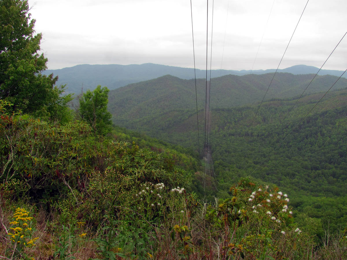
View looking Northwest ? towards Rich and Buffalo Mountains in the far distance
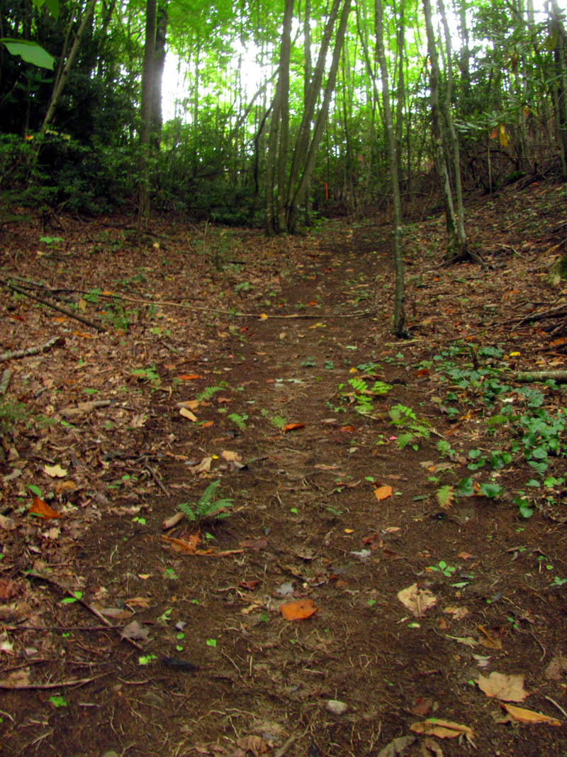
Parking is tricky so I just backed in trying not to block the gate as best I could, donned my pack and took off up the hill. It is actually a nice road and it was not long before I started seeing some of the rock cliffs high above me on the left side. Before long the road came out on top of the main ridge where some other trails (old roads) intersected. I followed the main road and it soon split with one going straight ahead and down the other side of the mountain and the other going up hill following the main ridge line behind yet another gate. There was a huge pile of old discarded concrete picnic tables piled up beside the road there obviously dumped there by the forest service, most likely from Rock Creek Park.>/p>

The old road trail as seen from the car

Pile of old concrete picnic tables dumped beside the old road
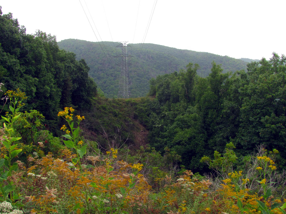
I did not have time to go down the backside as that would require a hill climb to get back so I chose to follow the main ridge which led me to where the power lines cross as they make their way across Unaka Mountain, over Rock Creek Road, across the mountain on the other side where I was, and then down into the valley on the other side before they cross yet another mountain range to reach Interstate 26. Not far behind this second gate I came to the first tower.

View from first tower, looking over Rock Creek Road to Unaka. The clouds are on the summit of Unaka.

Looking over at the next tower
From there I could see Unaka in the clouds on one side and another tower close by on the other. I followed the now narrowing trail over to that tower. The views from there were somewhat better as I could quite a bit from there which included the valley where Odom Branch and Martin Creek reside. In the distance I could look across and see all of Buffalo and Rich Mountain ranges along with Erwin and lots of other things in the distance. I am usually not a fan of powerlines but it is a unique position and I was glad that I had taken the time to go there not to mention I burned some calories as it was uphill all the way to there and the reward would be walking downhill going back.

The only overgrown place in the trail but, it was some nice reds starting and there was a mountain dew tree but, too bad it was empty !

Coming out at the second tower

View Northwest from the second tower. Rich Mountain and Buffalo Mountain in the distance

You can see the edge of Erwin in the distant valley

Looking out the ridge from the tower

You can see a lot of clear cutting has occurred in recent years here. That is Buffalo Mtn. in the far distance

Looking down the power lines
Looking back towards the previous tower and Unaka Mtn.

This is the view from the first tower looking over Rock Creek Road. The hollow to the left of the power lines is where Coyote Falls are where it gets steep.
After I spent what little time I had there getting a few pics in the foggy, light rain conditions, I went back and went out some of the other trails at the intersection I had passed earlier. There is a lot of what looks like hunter traffic here plus a lot of bear signs such as chewed up trash, scarred trees, and of course, bear scat ! One of the trails was an old road that followed the backside of the main ridge before it acted like it was turning down into the main valley there, that from looking at the map will lead back down to Rock Creek Road well past the park where the houses are. The other trail which looked like it was freshly made, actually had orange flags, led down a steep hill to a spring and continued going down from there, which also follows that hollow to that same destination. It would be interesting to follow that down one day as there could be a waterfall there eventually. There was a third trail that led out into the clear cut area on the Rock Creek Side that followed the ridge but it would not be easy to travel due to the scrub growth and briers.

Old road trail I followed out of the intersection

This old road trail is well used, most likely by hunters

The old road trail does narrow down but it traveled

Bee nest already dug out by bears

Old truck bumper I found laying beside the old road trail

Other trail at the intersection that led down hill to a spring. Lots of travel here with orange flags

I walked down to the spring. it is a nice area.
Steep trail going back up from the spring
I was out of time so I began the trip back and once I reached the car it has began to rain again although it was light. I drove up towards the top of the mountain towards Indian Grave Gap, where the main ridge I had been on begins so that I could get a pic of the cliffs that line this mountain. With the leaves still on, it was hard to get any shots of it, but I did get a small pic of the main and highest cliff that I plan to go back and find the top of. This one sits above Martin Creek and there should be a trail down into that from near it but, that will be another trip for another day. I had to hurry and get back to eat and get to work after being off for a week which I was not looking forward to at all.

Looking over at the cliffs on the high part of the mountain

Zoomed shot of the cliffs

 My name is 'RAT' and I love the mountains and waterfalls of the East TN. area where I live and I hope you enjoy this blog about my outdoor adventures.


Leave a Comment