


The Lonesome Pine Cliffs (Rich Mtn) – 3-5-2016
The Rich Mountains chain stretches between the Nolichucky River all the way to where it joins the Bald Mountains chain at Big Butt where the Appalachian Trail is near Coldspring Mountain. The highest point on the Rich Mountain chain is Wilson Knob which is 4,590 feet and it loses elevation down to about 2,200 feet before it reaches the river. There are some very good views along the highest points and if you know where to go there are also a few nice cliffs that hide along its sides. One of the largest and most prominent cliffs is one that not many people even know about and, even if they have seen it from other mountains nearby, would not know how to get to them. On this adventure my friend Bol’Dar and I would visit this cliff system that we have assiduously named the Lonesome Pine Cliffs. This is in part to there being one very small pine tree growing all by itself near the high point of the cliffs which has been there for quite a few years now. There are no real trails to these cliffs but, only hidden ninja routes of old which we relived once again on this journey as we chose one of the steeper and most difficult routes to get there. This would bring us out at the base of the cliffs where we would have to climb its entire length in order to reach the summit.

The Lonesome Pine Cliffs
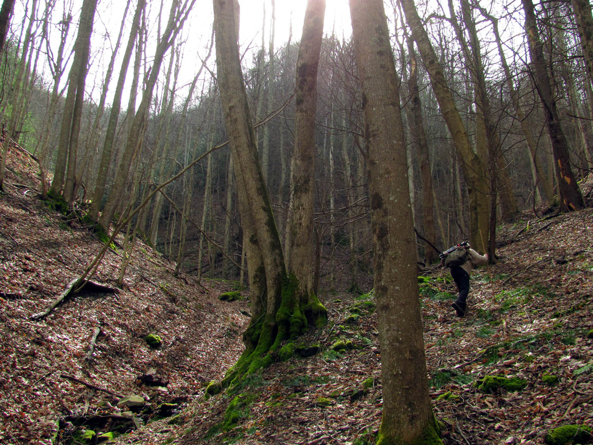
It was a crisp, early March day as we began our climb from the valley floor, not too cold and not too hot. There were a few clouds but, for the most part it would be a sunny day until the late evening when a front was due to approach. The various creeks we would follow along our ascent had decent water flow and it was a delight to see. Somehow we deviated from whatever original plan we may or may not have had and ended up taking a much different route to get to our destination. I am unsure how this happened as we both know the area very well yet, we ended up in a ‘ Bermuda Triangle Twilight Zone’ of sorts and soon found ourselves climbing steeply up a deep ravine that would lead us to the main ridge below the cliffs. The top of the ridge is a bit gnarly with growth and we had kinda planned to avoid it but, it seems it was to be our destiny to go the way we ended up going which although was very strenuous, turned out to be quite rewarding.

Walking beside the creek that flows through the valley as we make our way upstream

The mushroom stump

Looking back at the valley where we started you can see the ole ninja trail is starting to disappear
Following Bol’Dar into the Twilight Zone. This is only the 2 on the left side out of the 6 hollows there are to choose from that start here !

Huge moss covered tree

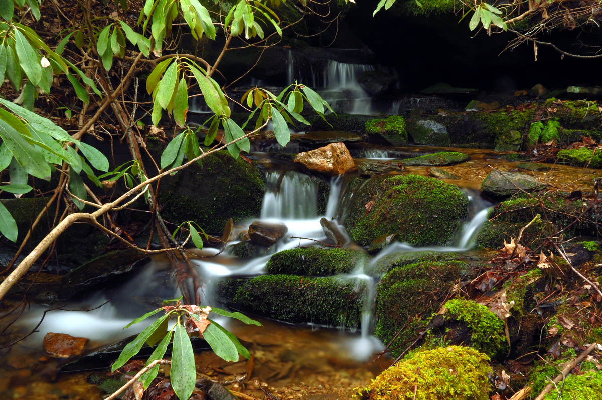
One of many secret cascades in this area. During high water times they really rock. Sorry I can not disclose their location. Don`t ask don`t tell !
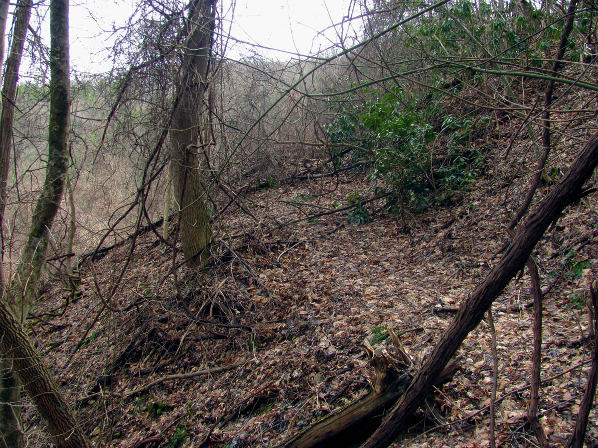
Climbing one of many old log roads that have long since turned to our secret ninja trails but, now are slowly disappearing and being reclaimed by Nature.

No matter how deep into the woods I go I seem to find these ! Someone was happy they graduated.

Bol’Dar taking an unexpected long slide down a steep embankment

After the long unexpected slide, Bol’Dar lands sitting up and shooting a picture of the devastation we had to climb around like “I meant to do that !”

Me doing the same slide that Bol’Dar just did ! (Photo by Bol’Dar)

Making my way up this steep as hell mountain ! (Photo by Bol’Dar)

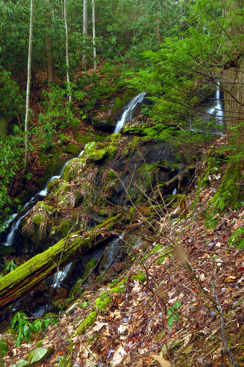
Another one of the many small unknown and unnamed falls found in this area that we have known about for many years. Of course this is during very low flow.

Bol’Dar leading the way on the old ninja trails high in the mountains. This is where the water bubbles out of the ground to feed one of the many hidden falls we know of here. Although gaining some serious elevation quickly, we still have a lot more climbing to do.

I seen some light snow in the high mtns on the drive in so figured we might see some. This was the first sign of it.

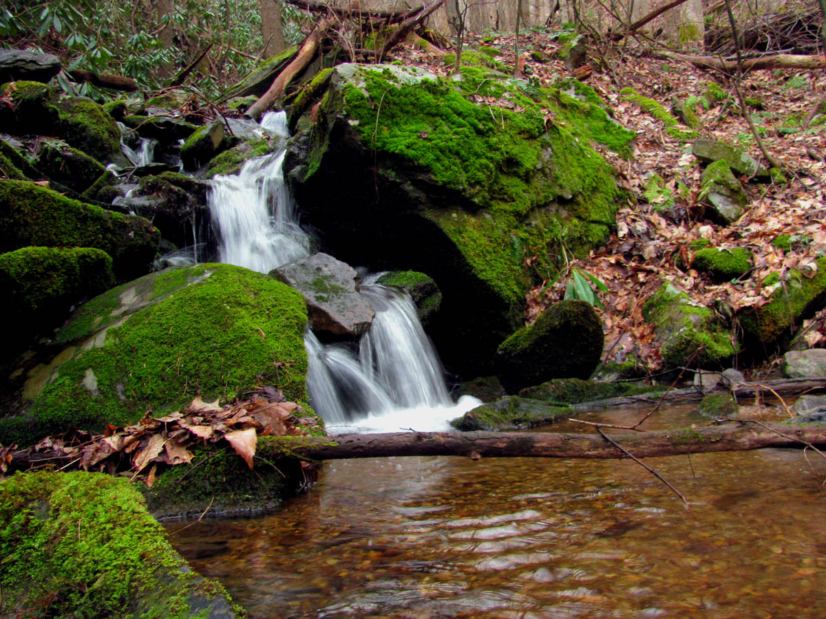
Top of an unknown unnamed falls hidden deep in the back country

Bol’Dar waiting on me to catch up as I huff and puff up this steep draw (Photo by Bol’Dar)

Bol’Dar climbing the last leg of the old road trail that leads to the main ridge.
Once we reached the main ridge that leads to the cliffs, the visuals started and they only improved the farther and higher we got. Mother Nature had provided the perfect combination of rock steps, cracks, and ledges for us to scale up to reach the various cliff tops as we made our way to the high point. I was energized when I finally saw the one lonesome pine tree high above me which helped to motivate me to climb higher to reach it.

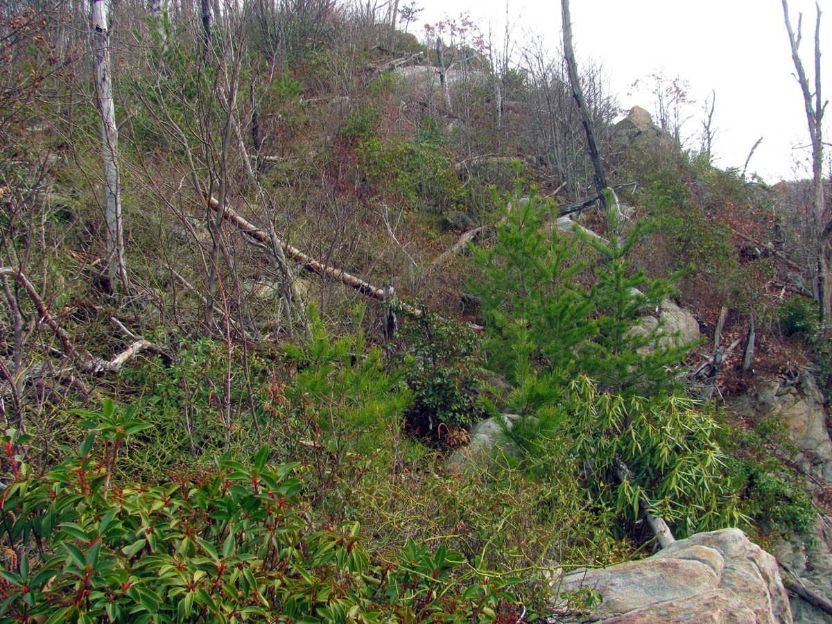
Finally on the main high ridge which is very overgrown due to the pine bark beetle damage from yrs ago.

First view of some of the surrounding mountains from the main ridge before we begin climbing higher up it

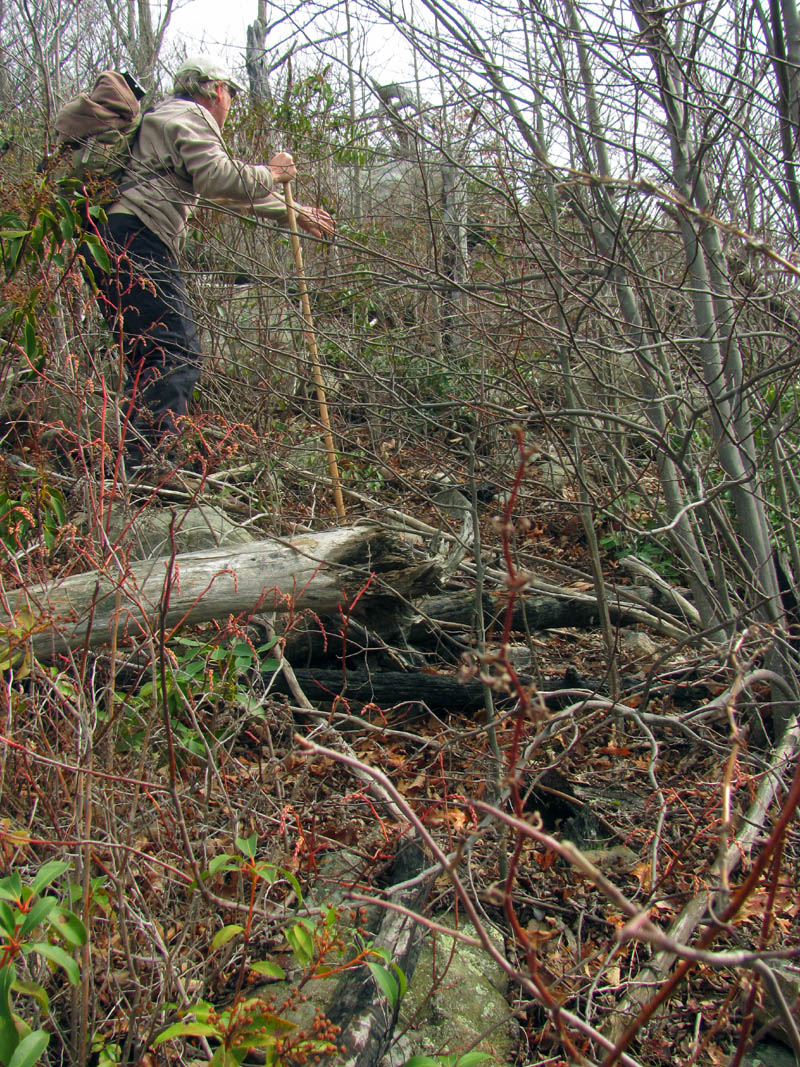
Capturing some of the first view along the overgrown ridge. Note the blood on my arm ! (Photo by Bol’Dar)

Bear Grylles looking for the path of least resistance as we make our way along the narrow ridge line. Many years ago this was clean as a pin, covered in pine trees, was shady and covered in pine needles and was a real pleasure to walk on.

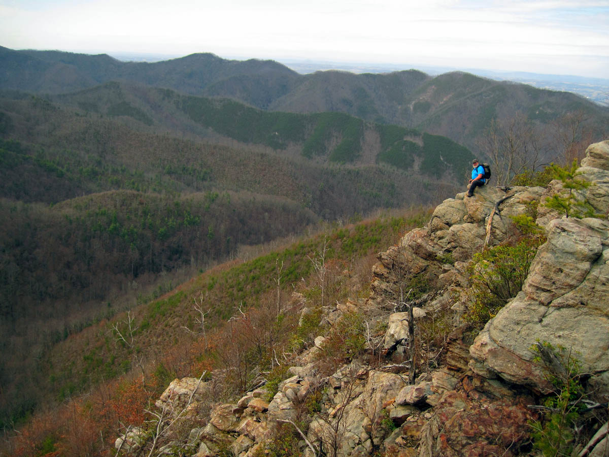
First view of the beginning of the cliffs. Find Bol’Dar.

Me having a sit down moment as I climb the first part of the cliffs (Photo by Bol’Dar)

Starting to get some better views as we get higher and start to climb onto the spine of the cliffs

Starting the climb at the base of the cliffs. This does not look like much at this point but, even a fall from here is a long way down !

Making my way around this huge conglomerate type rock at the base of this part of the cliffs

Looking up !

Looking back

Next spine to climb. You can begin to see more and more of these in the distance as we climb up each one going higher and higher towards the high point of the cliff system

Me at the base of one of the many rock spines we had to climb around and up over (Photo by Bol’Dar)

Somehow I got past Bol’Dar and here he is climbing up behind me

Following the route that Nature provided for me to get up the cliffs

Bol’Dar coming around the narrow cliff ledge where he will then climb up the crack to get higher on the cliffs as we make our way slowly to the top
Still a long way to the top if you wanna rock and roll !

Making my way to the next part of the cliffs (Photo by Bol’Dar)
Bol’Dar demonstrates the proper surfing technique for this type of terrain

Bol’Dar already high above me as he continues up the cliffs

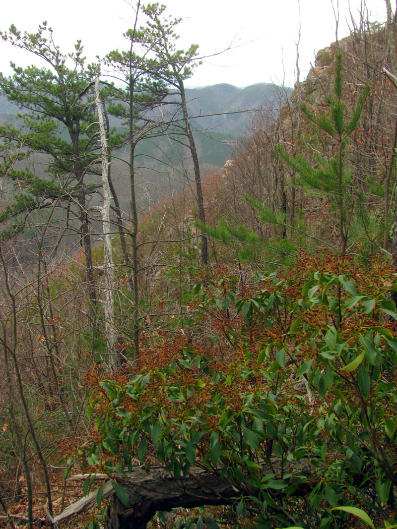
There are lots of cool looking weather wood formations on these cliffs

Gnarly

My first view of the Lonesome Pine and the higher part of the cliffs

view as I climb higher and higher over yet another spine of the cliffs

Looking up at the Lonesome Pine Cliff

The one lonesome pine

Small part of the cliffs

Climbing higher on the cliffs I am getting closer to the high part of them

I looked up and Bol’Dar was already on top standing just below the Lonesome Pine !

Bol’Dar high above me near the old lonesome pine

Bol’Dar atop the lonesome pine cliffs

Bol’Dar standing directly at the Lonesome Pine

Bol’Dar`s view from the Lonesome Pine tree (Photo by Bol’Dar)

Climbing towards Bol’Dar and the lonesome pine

Me getting ready to climb up to the Lonesome Pine Tree (Photo by Bol’Dar)

Bol’Dar makes his way over to the main part of the cliffs to sit in the stone throne there

Looking across the cliffs as Bol’Dar gets closer to the stone throne seat

Getting closer to the throne !

Bol’Dar sits in the stone throne on the center and main part of the Lonesome Pine Cliffs, definitely the best seat in the house

Not the highest cliffs in the world but, it is still a long way down as the slope below them is super steep and continues down for a LONG ways !!

Climbing up to join Bol’Dar on top
Sitting on the top of the cliffs just over from where Bol’Dar was while he was sitting in the rock throne. (Photo by Bol’Dar)

Bol’Dar took this pic of me taking pics of the Lonesome Pine tree (Photo by Bol’Dar)

Me Gnome posing beside the Lonesome Pine tree in honor of John ‘The Gnome’ Forbes who could not be with us on this trip (Photo by Bol’Dar)
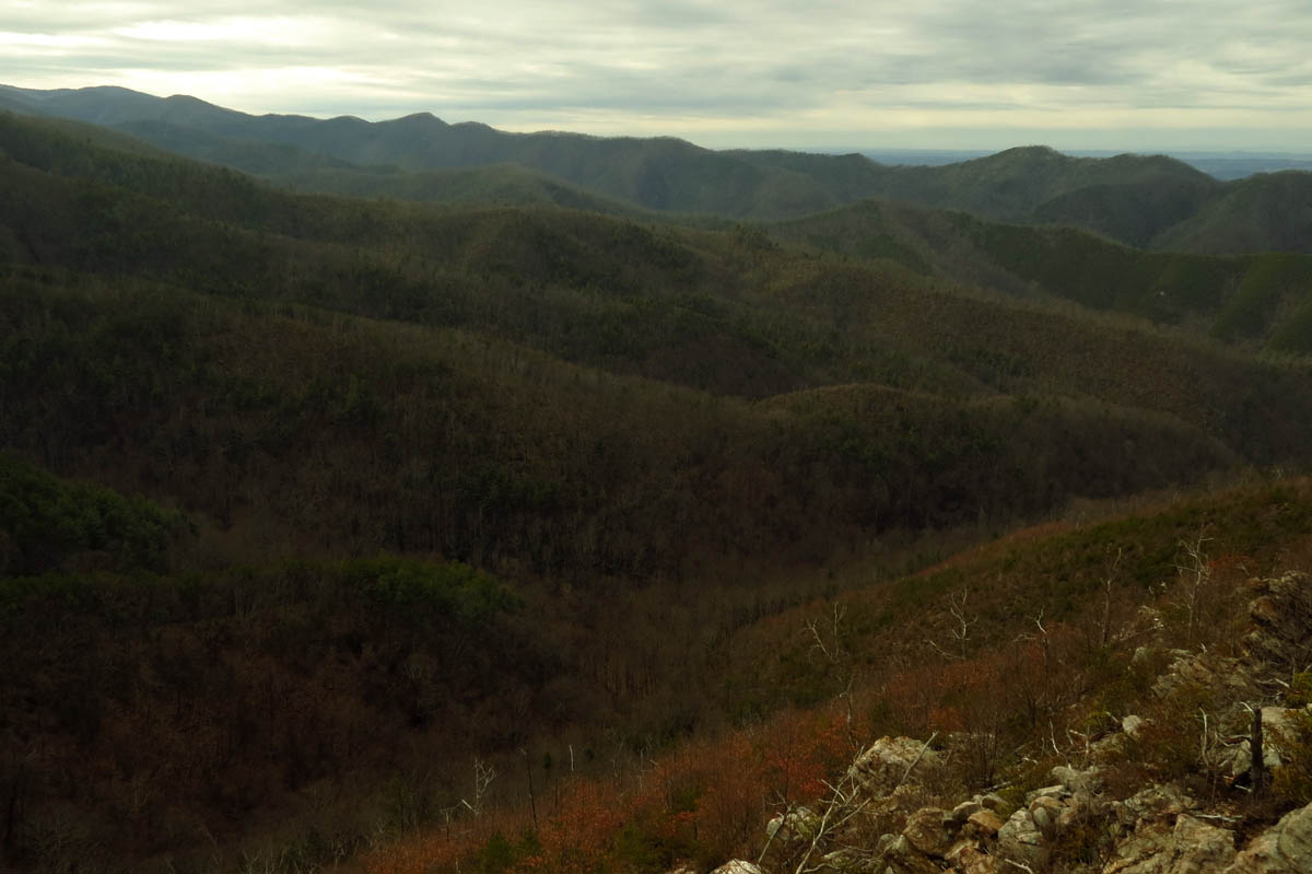
From there it was a short distance across the highest part of the cliffs to the main top where we took a long break to relax and enjoy the views. The sun was out at that time so we waited awhile for the clouds to show up with hopes of getting some better pictures. These are not the largest cliffs in the area but, they are certainly not the smallest and what they lack in size they make up for in views. We would relish in this visual stimulation for a couple of hours before forcing ourselves to leave.

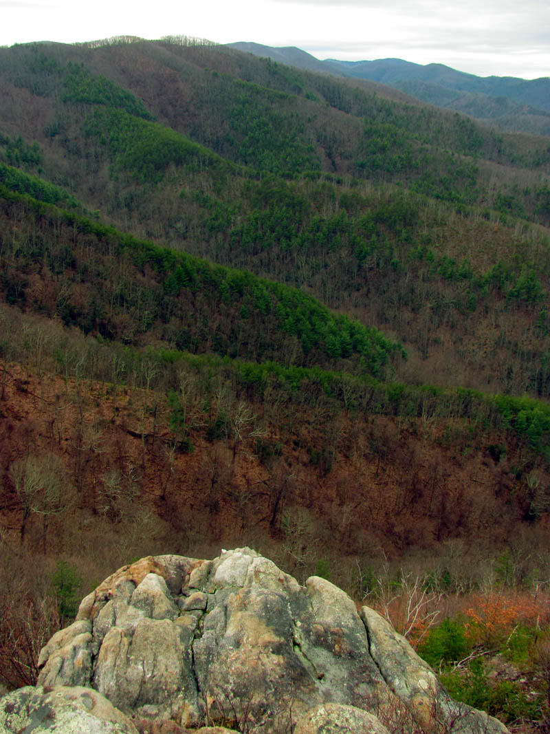
Part of the view from the Lonesome Pine Cliffs

More views of the Lonesome Pine side of the cliffs

Another view from the Lonesome Pine Cliffs

View of Rich Mountain from the Lonesome Pine Cliffs

View from the cliffs

View from the left side of the cliffs

Left side view

After waiting on the clouds to come in the sun was already starting to get low in the western sky

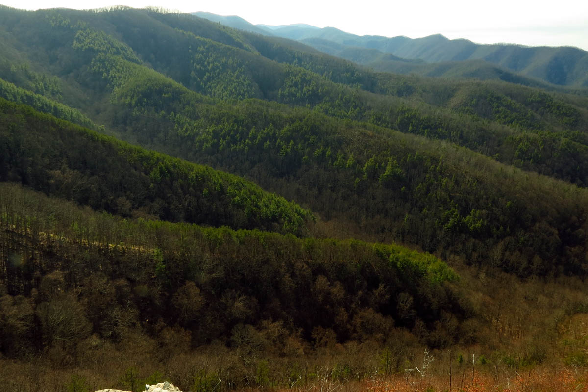
more views to the west from the cliffs

panning farther to the right looking more North, the views are amazing from here

Darker image from the lonesome pine cliffs to show the sky and the distant valley and mountains

View from top of the cliffs. Gotta love the one lonesome pine tree !

View from the cliffs

View

Lonesome Pine Cliffs

View from the Lonesome Pine Cliffs

View from the cliffs
View from the cliffs

If you look close you can see some traces of snow on Wilson Knob in the far distance. The mtn. beyond it is Camp Creek Bald etc
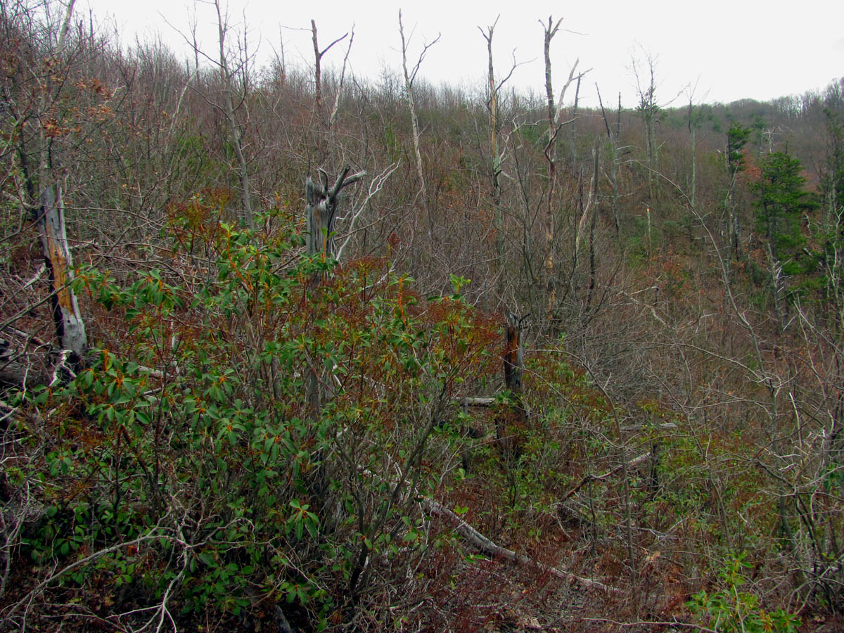
The view of behind us ! Yes, gnarly ! This protects this sacred place from seeing many visitors !

Looking off the far end of the cliffs as this would be the way we would be going when we leave the cliffs.
Before our departure, I did setup my tripod and my larger (non-slr) camera to see if I could get any better shots since it does have a couple of filters rigged onto it. Here is what I was able to get:

Lonesome Pine Cliffs

The view

Looking across the Lonesome Pine Cliffs

Cliff view
Trying to take advantage of the light as it illuminates the finger ridges

Cliff views

View from the Lonesome Pine Cliffs

Top of the world view from the cliffs

The lighting got softer as the clouds started coming in

view

I liked how the clouds came in
The soft cloudy view from the Lonesome Pine Cliffs

This one shows the snow on Wilson Knob in the distance

Cliff view

Cliff view

Lonesome Pine Cliffs
Finally it did come time to depart and we decided to take a much different route back. This would lead us farther along the cliffs to their highest origin and to a higher point on Rich Mountain. This was managed by another hidden ninja trail that would leads us over into a nearby hollow which is more open and easily traveled compared to the nearly completely overgrown main ridge line. Of course Rich Mountain is rich in old log roads so, we soon chose which ones we would be taking to complete our loop as it became later afternoon / early evening.
Looking back at the left side profile of the cliffs as we make our way away from them

Another last look at the cliffs as we make our way across the gnarly terrain

Following Bear Grylles as he leads us away from the cliffs

Making our way through the gnarly to the hollow where the going will be much easier

Following Bol’Dar across the overgrown side hill to get to the nearby valley (Photo by Bol’Dar)

Once in the hollow we found one of many water sources that feed various streams and waterfalls down below

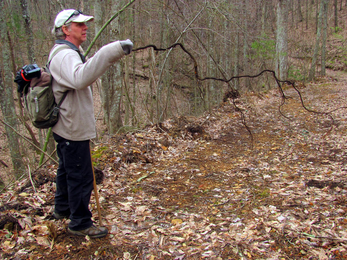
Huge barked tree in the hollow as we make our way towards the top of the mountain

For those of you who know how fat my hiking stick is,,,,, this shows how large the bark is on this tree !
Guardian Ents near the top of the ridge
Bol’Dars arm transformed after drinking Entwash with the Ents we visited along the way !

Our view as we made our way across the top of the mtn. Could see the sun was starting to set and we still had to decide which route we would take down the mountain

More mtn views from our route across Rich Mtn

Came across these cool icicles on the way out
We also made another decision that would determine whether we would make it out before dark or not. As usual, we chose the longer and more difficult route and did end up in the dark as we had hopes of getting a few shots of some unnamed waterfalls in the area on our way down. This turned out to be a bad decision as not only did we end up coming out in the dark but, also just as we started down this incredibly steep ninja trail, it started to sprinkle rain. This made it difficult to get pics of the falls and also created some very slick footing. Between the latter and a dead standing tree that gave away as I used it for support to get around a large cluster of blow-downs, I ended up diving face first off the mountain on about a 60 degree angle. I did suffer some minor injuries but, was lucky I was not hurt worse than I was. I had a tripod in one hand and a hiking stick in the other so I was quite off guard. I got hit under my chin by a large tree branch that flipped me around and got me going feet first which enabled me to grab it and stop my fall from going all the way to the creek below. To make matters worse, there were several gnarly briers growing there that drew some more blood from me. It was too steep and slick to climb back up so I had to continue down to the creek and walk it out until it met the old trail remnant we were following. It freaked Bol’Dar out as he thought at first I was going to be seriously injured or killed ! Thankfully I lived to tell about it !

Of course we passed up the easy quick way down and chose the path less traveled

Headwaters of the creek we would be following down the mountain
I took this one with my larger camera on a tripod.

What used to be a well worn route through this deep hollow is now quickly disappearing as Nature takes back her wildness

It is nearly impossible to show steepness in a picture but, I tried my best to here as I am looking back up the insanely steep grade that we had just came down. To the left you can see the top of one of the main unnamed falls we were seeking on this chosen route down. You can see how steep the sides are which is what I fell off of !

Taller falls that we went this way to see. Sorry for the rain spots
Another shot of these magnificent unnamed falls

This was about the best i could do given the conditions

Bol’Dar adds some sense of scale to the size of these falls

Isolated shot of the top part of the falls. I need to go back when the flow is higher and when it is not raining.

Looking up at some of the terrain of this part of the mountain

Yep, this is when I fell off the mountain !!

Me after the fall. See the long tree laying along the creek below me ? That is what broke and I rode it down face first until the small limb in front of me caught me under the neck and clothes-lined me flipping me around which enabled me to grab it to stop myself. Bol’Dar had already made his way down to me at this point. (Photo by Bol’Dar)

Looking back up the trail you can see some of the stuff that I was going around when the tree I leaned against broke and I plummeted down the steep slope towards the creek !

Bol.Dar negotiating one of the many downed trees along this trail from olden times

One of the small falls along this creek. Handheld in low light without using a tripod

A gorgeous unnamed small falls along this lesser known creek that hides itself well in the deep hollow we have visited for many years now.
Another shot of the same falls taken with my pocket cam. Looking back I wish I had taken the time to get my larger camera out for these but, I was bleeding and hurting from my fall and it was raining. That and I can always go back any time I want to !

Another shot. It was hard to leave these,,,

Another one of the larger falls found on this run. we did not take time to climb down to the base due to the rain and running out of time. We already knew we would be walking out in the dark.

Another shot of these falls from high above as we were trying to make time and get off the steep terrain before dark

It was getting dark fast as the sun was disappearing on the horizon

Another small jewel I was able to get before the light was gone
We had to make haste after that point as it was getting dark quickly. There would be one more stop at the top of another large waterfall before we would be back on a not so steep route again where we could make much better time. Of course by that time it was almost dark ! We were about a mile or so from the vehicle before we would have to break out our headlamps. Luckily the rain kept to a light sprinkle and actually felt good but, the footing did remain slick and with my tired and injured legs I had to go slower and be more careful. All in all it had been another grandiose day in the extreme off trail back country of the NFB National Forest and I can not wait until we can get back there again in the near future. Until next time,,,,

This is not the light at the end of the tunnel ! It is however, Bol’Dar`s headlamp coming out of the woods. I took this while standing beside my car.

 My name is 'RAT' and I love the mountains and waterfalls of the East TN. area where I live and I hope you enjoy this blog about my outdoor adventures.


Leave a Comment