


Work Trip on The AT – 3-15-2016
March always brings with it the first chance us trail maintainers get to do a Spring ‘walk-thru’ of our trail sections along the Appalachian Trail. It is usually then that the Winter snows have finally melted enough to allow us better access to the top of Big Bald. This year would be no different as my friend and fellow maintainer Doug Corkhill provided the transportation to pick me up at my trail head in Spivey Gap so that I could start on top of Big Bald where his section is, making it possible for me to walk mostly downhill one way on my section. I was happy to be accompanied by my son Tyler on this adventure. The only sad part was learning that this would be the last time that Doug would be doing this as he is giving up his section due to a job promotion that requires a move to a different location. I will mostly miss his company as we always walked his entire section to where it ends and mine begins on the summit of Little Bald which is where we would eat our lunch before I would continue onward while he backtracked to work his section. I will also miss his generosity since he went out of his way to drive the many extra miles to pick me up at Spivey Gap to which I will now have to make different arrangements in the near future. It was a beautiful and warm sunny day so our day in ‘the office’ was going to be amazing as it usually is.

My son Tyler on top of the world at Big Bald along the AT
Arriving at Spivey Gap by 9:30am it was not long before Doug`s little truck came rolling in and within an hour later we would be parking near the summit of Big Bald. The views were already looking very good and despite having been there a few times before, Tyler had never actually been to the summit of Big Bald so I decided we should all walk up there to spend some time to show him the breathtaking 360 degree views before heading towards Little Bald. He was impressed as I knew he would be and, was happy that we had taken the time to do so.

View from Big Bald (looking towards Johnson City) The Rich, Buffalo, and Cherokee Mountain ranges can be seen

View from Big Bald (still looking towards JC but can see some of Erwin / Unicoi in valley and starting to see Unaka on far right )

Panning farther right can see No Business knob/ Temple Hill, Little Bald, Unaka, and Iron mtns and the start of Roan.

View from Big Bald – farther right can see Little Bald/Flattop/Unaka in a row and the rest of Roan and in the far distant on far right is Linville Gorge

Same view as previous pic only closer

View from Big Bald, slightly more to the right we are looking straight towards Linville Gorge which is far distance out where the clouds are

Slightly more to right still looking northeast towards Linville can start to see the Black mtn range on right

More to right can see almost all of black mtns where Mt Mitchell is

View east can see Mt Mitchell, highest point east of Rockies near center of this picture

Tyler and Doug on big Bald (Mt Mitchell is between them)

View from Big Bald summit. Here Doug is pointing out some landmarks in far distance educating Tyler on what he is looking at

Slightly zoomed image looking towards Mt Mitchell

View looking out over Big Stamp with Little Bald, flattop, and Unaka mtns lining up.

Another view towards Johnson City and Erwin

Looking due South towards the Smokies and you can also see snow on the ski slopes of Wolf Laurel
After spending time on the summit absorbing the immense views, we made the descent back to the truck, gathered up our tools and began the climb going North towards Big Stamp. More views from there before we descended again, this time into the treeline going towards the shelter. We always stop at the shelter for snacks and the coldest spring water on the AT before continuing towards Little Bald. Doug left a new Trail Register and retrieved his old one as after all, this would be his last one.

Looking back at Big Bald from Big Stamp. Trying to picture the Buffaloes that used to roam here

Looking back at Big Bald

Closer view of Mt Mitchell from Big Stamp

View looking towards Linville Gorge from Big Stamp. If you look close you can see Table Rock

One last view of Big Bald across Big Stamp before heading on to the shelter
Three false summits later we would climb the real one to our usual lunch spot on the Carolina side of Little Bald where there is a small hidden cliff that gets the noonday sun. There used to be great views from there of Big Bald but, in recent years it has grown up. We had an extra long lunch there and took our last selfie together as we dreaded saying goodbye and going our separate ways. Although I am sure I will see Doug again in the future and we will stay in touch, it was still sad to know that we would no longer be sharing trail sections together again. We said our goodbyes and went our own ways as Tyler and I began the steep rugged descent of Little Bald knowing we still had a long 5+ miles yet to go.

Doug enjoying the view that he worked so hard to help me keep clear on the Tennessee side of the summit of Little Bald

View from TN side of Little bald summit (No Business Knob in center, Temple Hill Knob to left of that, Unicoi in valley in distance)

Looking towards the Rich mtn range from TN side of Little Bald summit

View slightly more to right , seeing more of the Rich Mtn range

View from TN side of Little Bald summit (Temple Hill Knob in center)

View from TN side of Little Bald looking over Flattop mtn towards Unaka

View from TN side of Little Bald summit, looking far right can see Roan mtn

Group shot of our very sunny lunch spot on the NC side of the summit of Little Bald (Doug, Tyler, and myself)
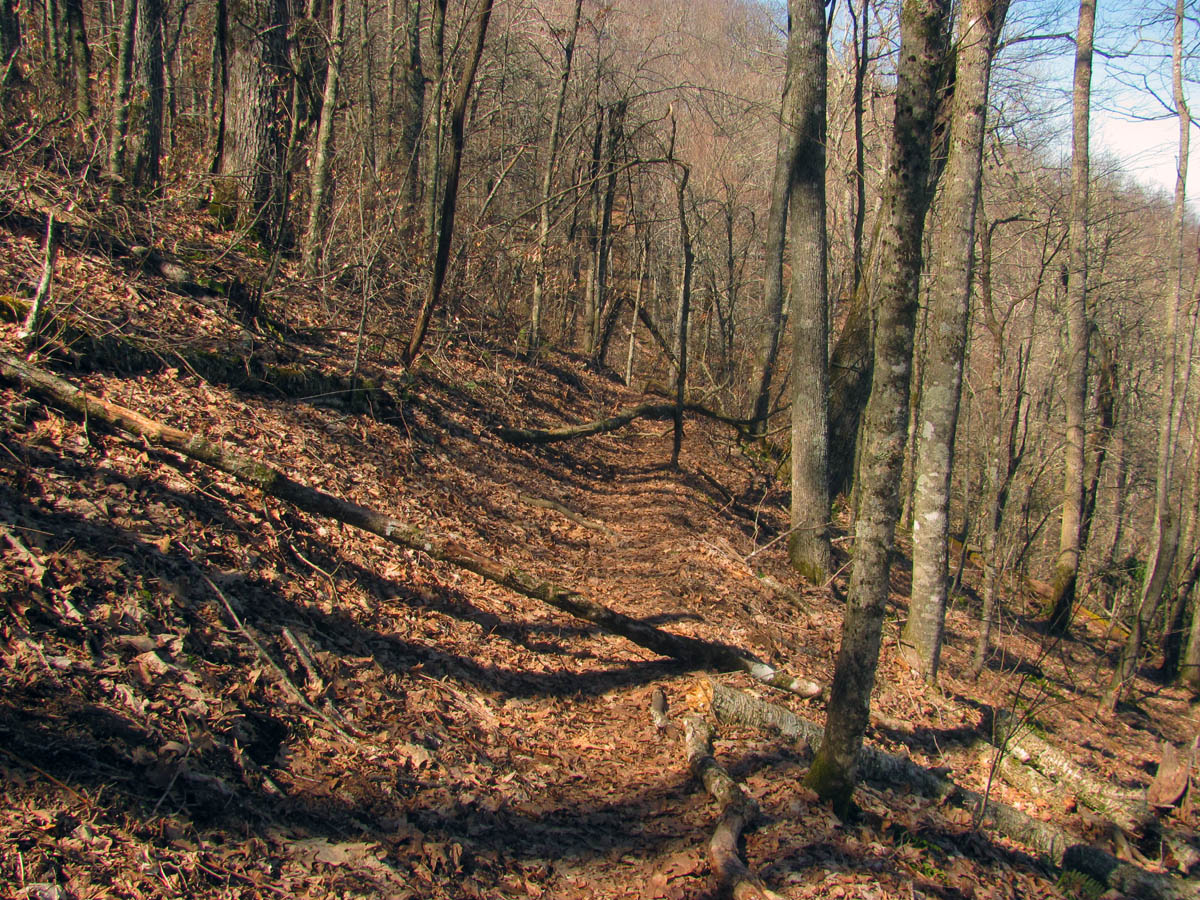
We were fortunate that there were not too many major blow downs and we were able to remove several small ones, and we did take turns digging out several of the water bars as we slowly made our way towards Spivey Gap. There was a lot of limbs and debris that had to be cleared which is always time consuming and I took notes of many step-overs and a few larger trees that would need to be taken out by the chainsaw crews that were to be on my section the following week.

Tyler at one of the first step overs we left for the saw crew

Looking back at the downed step over tree

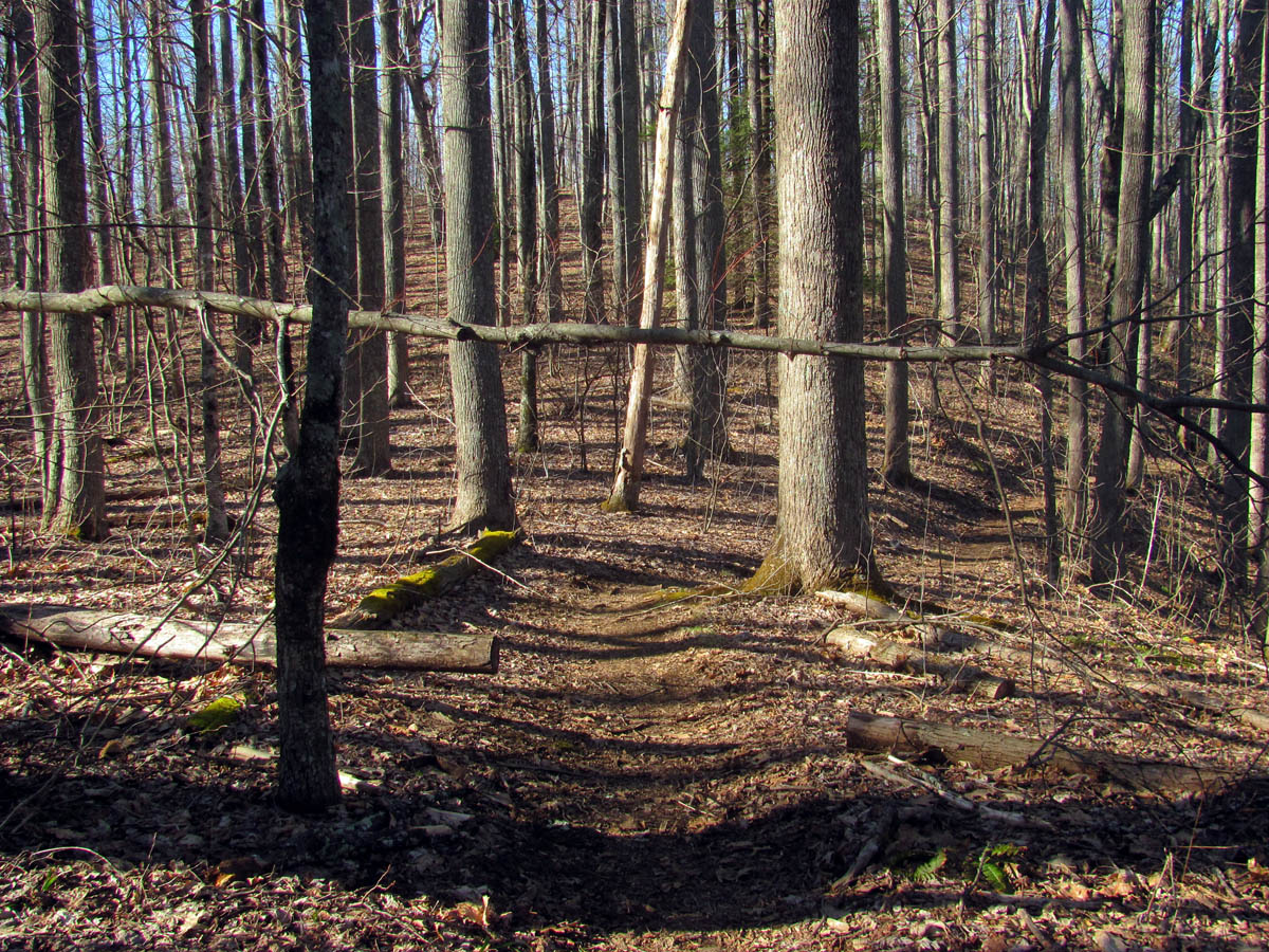
Tyler and yet another step over tree. Many were left over from last Fall
We made short work of these toothpick sized trees

Tyler digging out a water bar above another downed tree. I had dug this bar out good last Fall so all that was needed was to clear the leaves out

Me at a small blow down. We sawed this one out.

Looking back towards Little Bald at the section of trail where I met the ‘Children Of The Trail’ (Jonny and Mary Hart) This is just before the AT rock.

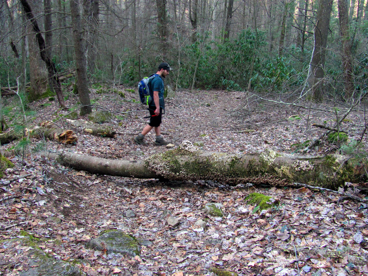
A couple of large blow downs

Getting closer tot he two large downed trees. Luckily these could be gone around fairly easy until the saw crew takes them out in a few days

Looking back at the two downed trees. we took off some limbs to make it easier to cross. These are now completely gone thanks to the saw crews. (John Whitehouse and Co. of the CMC)

A large step over near Whistling Gap

Someone decided to leave religious material on all the signs along my trail section. unfortunately for them that is not allowed as per ATC regulations so it all has to be removed. There is also ads for local hostels and shuttle drivers which also is not allowed.

A large male tree between Whistling gap and High Rocks

Looking back at Little Bald from the huge male tree !

Tyler giving some scale to yet another one of many downed trees we had to leave for the saw crew
It took the rest of the day to make it to High Rocks and this would be the first time that we did not take the time to climb to its puckering perch for the visuals and a much needed rest break. It was getting late and I had a long work shift ahead of me when I got home so we passed it by to make up some time as we did not know what we would find to be done between there and Spivey which is about 2 miles. There were a few more blow downs and more debris to clear so it turned out to be a wise decision.

More religious material and ads left on another sign, this one at High Rocks. Had to be removed.

Graffiti left on the base of High Rocks. Most likely someone young who doesn’t know any better or doesn’t care.

Close up of the graffiti, at least we know who it is !! I have seen this name used on a Facebook page for the AT

Tyler clearing leaves from another water bar North of High Rocks

A now clean water bar. Thanks Tyler, I was getting tired by that time.
Another small head high tree we had to remove.

Tyler and yet another large blow down

The next step over as we make our way along the last mile of my section

A large fresh downed tree. The saw crew removed all downed trees only a few days after this work trip.
One of the last blow downs of the day. it was just after this spot where we were startled by the sound of a pack of coyotes yipping and howling only about 100 yards below us near the road. it made the hair stand up on our necks !

More religious material and bunches of ads left at the last sign near the trail head. Had to be removed.
It was around 7pm by the time we reached the vehicle and we were both tired. Mine from mostly lack of sleep having worked until 4am the night before and knowing I had to work another 8 hours as soon as I got home, we were anxious to get some food in our bellies and enjoy sitting for a while. It had been another wonderful day spent on sacred ground with much work accomplished. The saw crews did do their part the following week so my section and Doug’s section of trail was definitely ready for the onslaught of thru-hikers that were already making their way through the area with hopes of making it all the way to Mt. Katahdin. For me, I will be back in about three months hopefully to cut the annual growth along the trail to keep it in the best possible shape. Until next time,,,,,

 My name is 'RAT' and I love the mountains and waterfalls of the East TN. area where I live and I hope you enjoy this blog about my outdoor adventures.


Leave a Comment