


Hidden Lake on Frozen Knob – 2-1-2014
Despite the lingering of snow in the mountains, it was forecast to be a warm day near 60 and sunny so to cure some of the cabin fever my friend Sam and I decided to go on a hike on the first day of February. Our friend Bol’Dar was supposed to attend but, was unable to make it so I gave Sam the list of possible hike locations and of course he picked out the hardest one which was the Hidden Lake (also known as Birchfield Camp Creek Pond) located on the back side of Frozen Knob. Bol’Dar and I had been there in the past year by way of Birchfield Camp Creek but, I had not been the long way via Rocky Fork in some 20+ years so it was decided that would be the route. I knew it would be over 11 miles, half of which would be uphill and knowing I had not done that kind of mileage in a few years, and against my better judgement I decided to go along with that plan. We got a fairly early start from Hairnt-quarters of around 8am and was at the trail head by 9am. There was still a couple inches of snow on the road leading in to Rocky Fork and it was cold but, the sun was up and we could tell it was going to be a great day to be in the mountains.

Nothing golden about it so I will name this one ‘On Frozen Pond’
The creek was still very frozen as it had been for the past few weeks but we knew we would soon be in some sunshine once we reached the high road and gained some elevation. Once we got up past Long Branch Creek and made our way up to the switchback where you can see the cliffs on Whitehouse Mountain, we felt the first warmth of the sun as we looked down into the Rocky Fork Valley below.

Beginning of the road that leads into the Rocky Fork Creek Valley

The triple falls on rocky fork creek frozen

The triple falls on Rocky Fork creek, frozen.

The morning sun starts to shine on the frozen world of Rocky Fork

Walking under the Flint Mountain Cliffs. Hard to believe I stood on top of that on our last trip.

Flint Mountain Cliffs. We had a great time on top of these on our last trip.

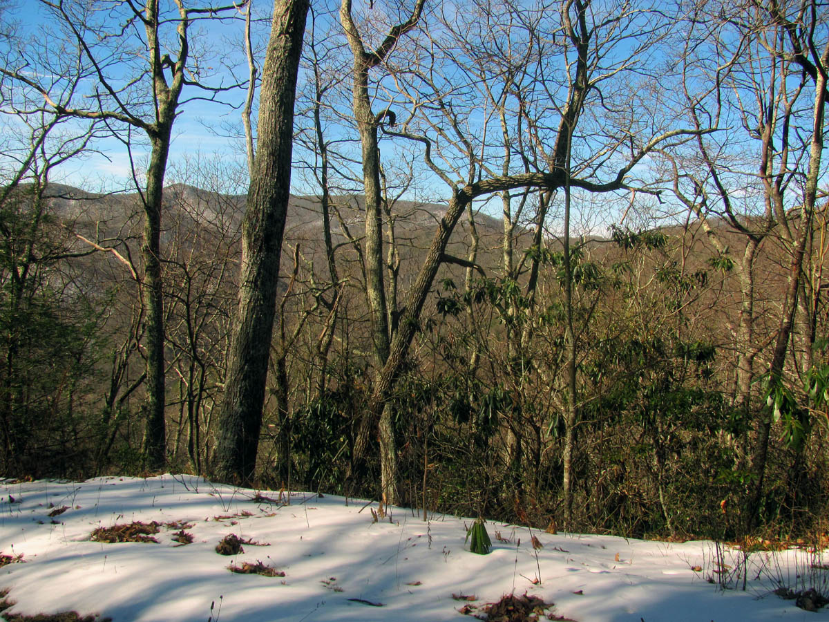
First view from the high road. Whitehouse Mtn. Cliffs on left, Rocky Fork Valley in bottom, Flint Mtn. Cliffs (hidden in the pines) on the right and Little Bald and Big Bald in the far distance

View of Flint Mtn. from the first view along the high road

Flint Mtn. and the Flint Mtn./Rocky Fork Valley

Flint Mtn as it disappears into Flint Gap, the Flint Mtn./Rocky Fork Valley and the beginning of Snakeden Ridge

Looking down on the old Indian Battle site in the Flint Mtn/Rocky Fork Valley
The snow was still not too deep to walk in and there were stretches of the road that were in the sun that had no snow but, in the shady parts it was progressively getting deeper. It was still early so it was frozen but, we knew it would be slick and slushy when we came back. We came across some naturally occurring snowballs which are formed when the wind or something disturbs the snow at the top of the high banks along the old road and they roll down the sides into the road. These make some cool pics !

A snow onion ring ?

Looking through the snow onion ring I saw a Squatch

Snow doughnuts

Snow muffins ?
The first intersection is at the 2 mile point where a road leads to the left that is part of a grand loop hike we used to go on all the time back in the old days. Of course we always chose to come out it rather than go up it. We would not be taking that route today so we continued climbing up the never ending high road that eventually leads to Wilson and Frozen Knobs.

Rock art

Rock art, after I made my contribution

View from the high road. Looking at Snakeden Ridge on left and Coldspring Mtn.
View from the high road – looking at Coldspring Mtn near the Ball Ground. The low spot is where Horse Creek and Cassi Creeks would be at (on the back side looking down into them)

View of Coldspring Mtn from the high road
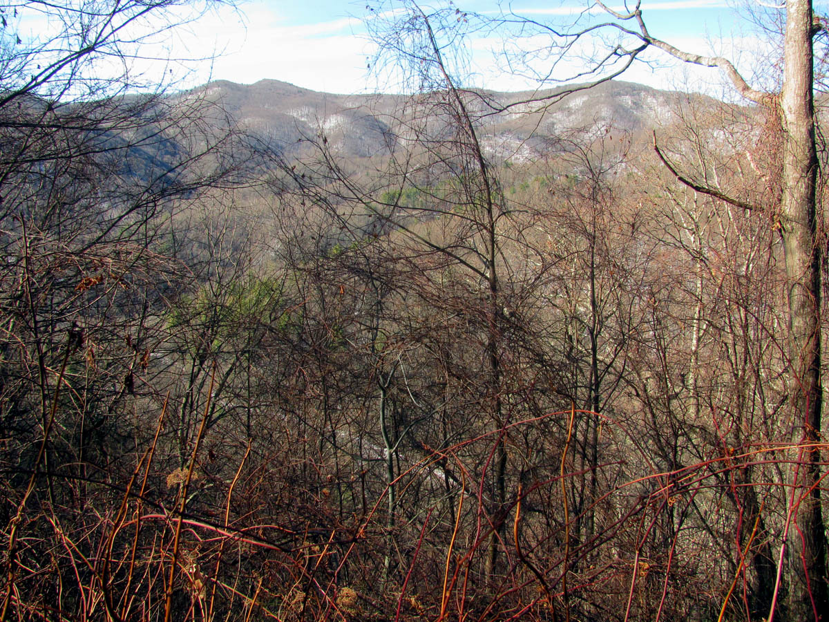
View from the high road looking over at Coldspring Mtn over the upper Rocky Fork Valley where Blockstand Cr and Rocky Fork Cr is
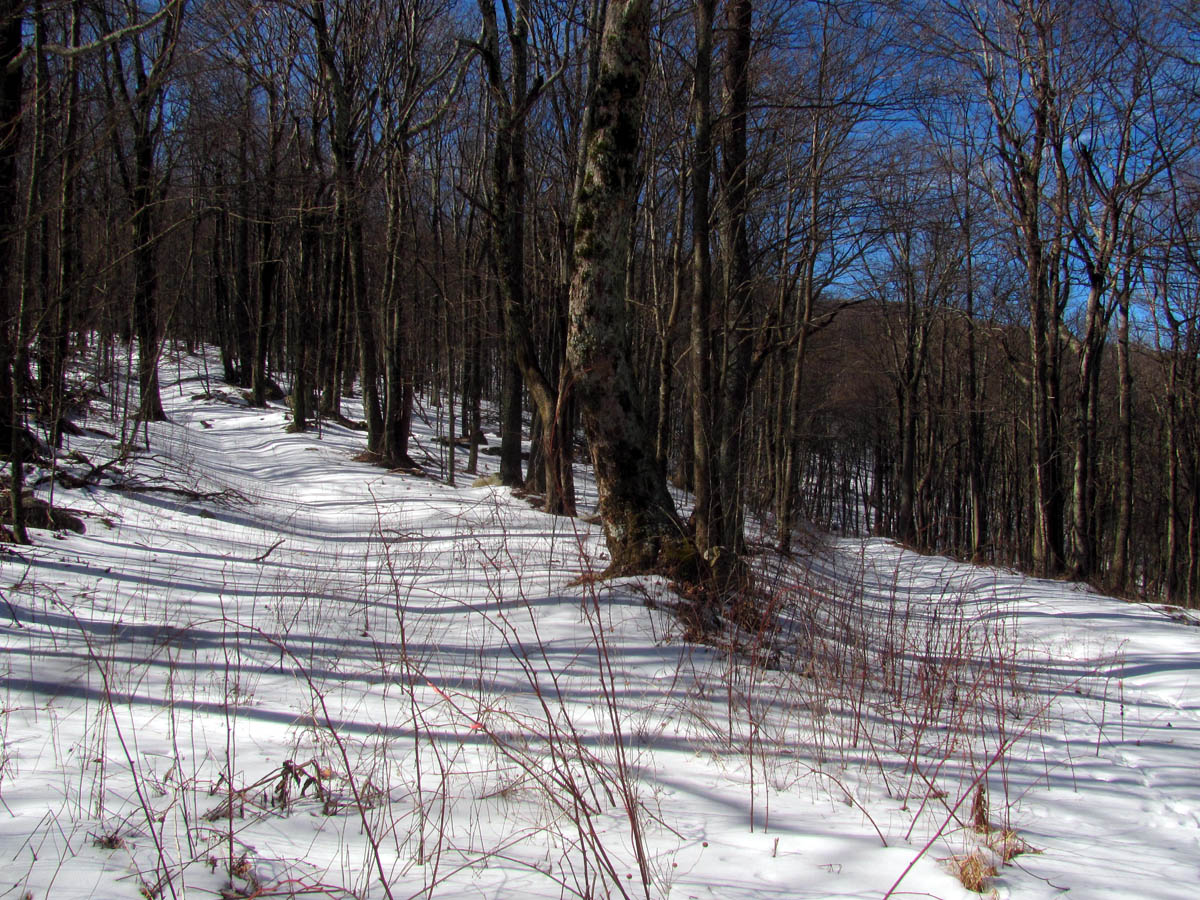
We stopped at all the gaps to log some GPS coordinates for future map studies as I was curious as to the exact location the upper Long Branch Falls is in relation to the high road as there is an old hidden log road that leads to the top of those falls and does continue beyond which I suspect does connect to the top of the ridge and the high road. After about 3 and a half hours of almost non stop climbing, we finally reached the top of the main ridge. The snow on the shady sides of the mountain there had already reached about 8 inches deep.

Hiking in 8 inches deep snow on the shady side of the ridge

Another naturally occurring snowball (I love the texture of this one)

View from one of the gaps. Starting to gain some real elevation now. This would be right above Long Branch

Old tree at the top of the main ridge
From there the road actually goes out and down slightly for another half mile or so to connect over to Wilson Knob. It had been a long time since I had left any boot tracks here and although I was already hurting I was excited to be there. I immediately recognized what I call the old ‘hanging tree’ and rock that marks the next intersection of roads where we used to go to the left out to the other side of Wilson Knob above Buckeye Falls to take the old loop hike but, today since our destination was the hidden lake, we would be going the less traveled road to the right which leads towards Frozen Knob.
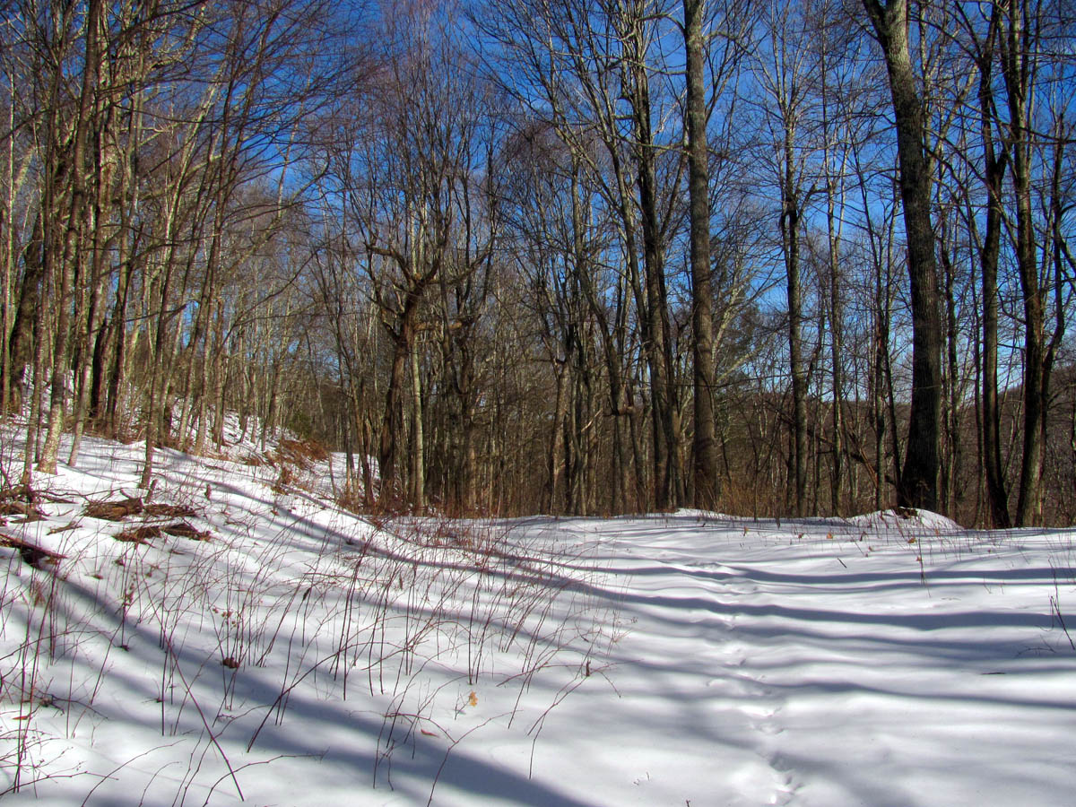
Following the top of the main ridge out towards Wilson and Frozen Knobs

Sam reaches the intersection between Wilson and Frozen Knobs at the ‘hangin` tree’
To the left on the road will lead to Wilson Knob (where the boundary trail connects). The upper left trail that leads up the ridge into the woods I was pleased to see was still there. That follows the ridge to the summit of Wilson Knob and then back down to the road again on the backside of the knob

To the right leads to Frozen Knob which is the way we were going
I was still having some painful leg cramps by this time so I had to take a break here. As we made our way out the ridge I was quickly reminded that there was still some uphill and downhill to go and that it was another 1.3 miles to Frozen knob and 2 miles to the hidden lake ! I knew at that time it was going to be a long 2 miles and the return trip would feel even longer ! I also knew that once I reached this point that regardless of how I felt that I would not be turning back that I would make it or die and of course I would have no choice but to muster up enough strength to get myself back ! The snow was getting deeper as would be expected on a place called Frozen Knob which is 4393 feet in elevation and the road skirts the backside of the summit which just happens to be the shady side. Luckily we were making good time and it was a pristine postcard blue sky and the temps were pushing near 50 degrees but there was some strong winds blowing around the mountain tops.

Looking towards Big Bald from the high road we could see a large fire which looked to be near Street Gap

Sam checking out the view and the fire smoke from the road that leads up to Frozen Knob
We kept trudging along through the deep snow and made quick work of the downhill part that goes down behind Frozen Knob and it was not long before we made it to the next intersection where the right turn to the hidden lake is. Going left at this intersection leads down towards the head of Higgins Creek and eventually the old Boundary Trail but, it is a long and drawn out road with lots of ins and outs with intersecting roads and trails and is not the most direct route to take. I was surprised to see a ‘No Camping’ sign on a tree at the turn off and I can`t imagine why as I am pretty sure there is not another one anywhere near there. We turned right and then took the left fork where that road splits as they both lead down to the hidden lake. I knew that was the most direct route and assumed we would walk around the pond and come back up the other one making a loop. It was a short walk down the hill to reach the hidden lake. It was frozen solid.

The road does not go to the summit of Frozen Knob but rather skirts behind it just below the summit. On the backside there you can see the Nolichuckey Rivery Valley in Green County way off in the distance. (this would be looking towards the boundary trail that comes up from Rich Mtn/Chigger Ridge etc)

Sam standing at the next intersection. To the left and down follows beside Higgins Ridge towards Higgins Creek and the boundary trail eventually leading to Wilson Knob and straight ahead and tot he right leads to the Hidden Lake.

A pink piece of cloth marked the turn to the pond. Hmmm, I wonder,,,,,

Odd place for a No Camping sign, on the road that leads down to the pond

Sam checking out the one lone dead tree in the pines as we make our final descent to the pond
It was at least 1:30 or 2 PM by the time we made it to the pond and we had a long lunch break there. The sun was bright and the pond was frozen so I did not even bother getting my larger camera out of my pack. We walked all the way around the pond and trudged our way up the hill back to the road on top and began the long journey back. It was much warmer now despite the sporadic winds that were still blowing and the deep snow was much harder to walk in resembling sand. This had a grueling effect on my hips and knees . I was still having some leg cramps as well. I haven`t hiked this far in the past few years. I was happy when we made it back up the hill to near Frozen Knob and enjoyed some slight downhill before reaching the intersection of Wilson Knob again. It was not too bad from there as it is only slightly uphill from there back to the main ridge and some of the snow had melted making walking somewhat easier plus we had our earlier tracks to walk in making it less deep. I was happy when we reached the main ridge where I knew it would be downhill the rest of the way.

The hidden lake behind Frozen Knob
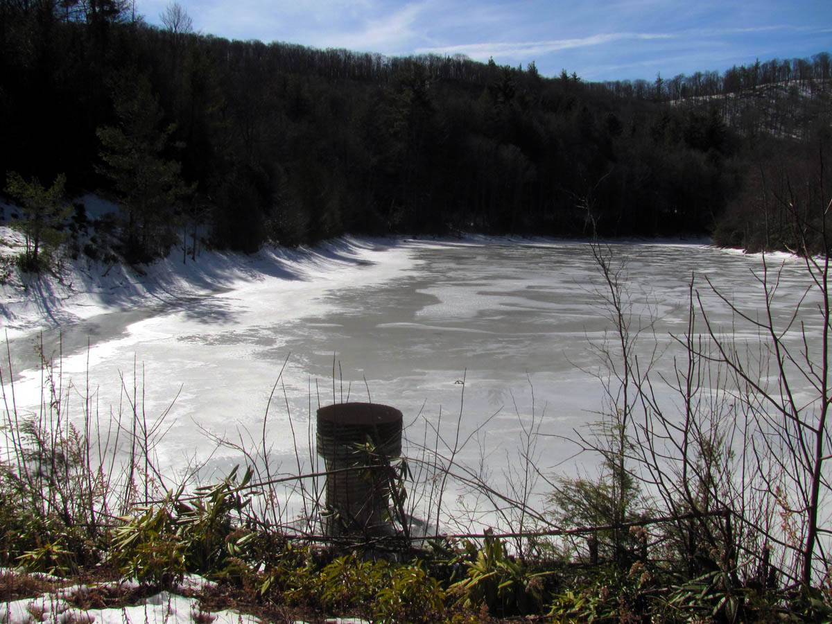
The Hidden Lake behind Frozen Knob

The Hidden Lake behind Frozen Knob

Looking back at the road we came down to reach the frozen pond

This is a beautiful place even in the Winter

Sam checking out the pond

This trail leads down beside where the water leaves the pond and will follow it through the Birchfield Camp Hollow to Higgins Creek over 2 miles below.

This trail is just to the right of the Birchfield Camp Trail but leads slightly up. You do NOT want to go this way ! It leads out to Higgins Ridge and eventually to private property

Looking back at the end of the pond as we make our way all the way around it

Looking back towards the end of the pond where we came in at

Continuing to look back

Looking forward towards the butt end of the pond. You can not see this part of the pond from the other end as it is around a small bend. The pond is much larger than it looks from the lower end

Butt end of the pond

Making our way back up the road along the backside of Frozen Knob.

High point of the road behind Frozen Knob. It is uphill from the pond to this point, then downhill to the intersection

Downhill to the intersection then take a left on the main ridge. I was happy to be back in the sun and not going uphill !

Last hill of the day as we make our way out the main ridge

View from the main ridge. You can see the million dollar house that sits along I-26 just past the Visitor Center
I did spot something very intriguing on my way down the first part of the main ridge. A group of large rocks sticking up way off in the distance on the other ridge across from us like looking towards the Buzzard Rock. I am sure I have seen these before but for the life of me I could not remember it. They are unique in their shape and appear to be rather large. I got what pics I could get and made a reference for further research when I got home. I am sure we will be checking that out soon.

Coming down the high road I spotted some cliffs when looking towards the Buzzard Rock. What do you mean you don`t see it ??

OK, how about now ?

Zooming in some so you can see it better,,,,, What ? Still can`t see it ??
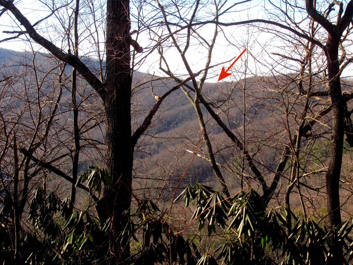
Now can you see it ?

Super zoom. Note: the surrounding trees are between 30 and 60 feet high.
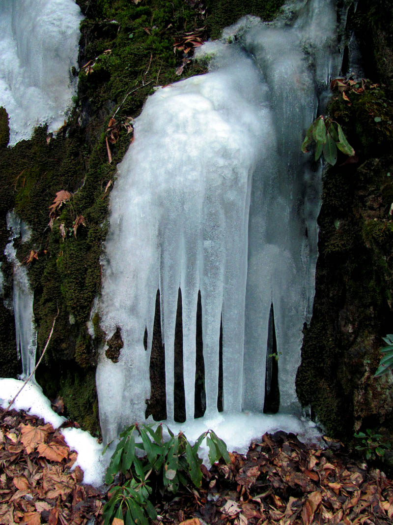
While we were at the hidden lake a fairly large tree had fallen above the road and the tops of it landed right in the road. I know the wind most likely was the cause of this but, I have seen this happen when there was not a breeze stirring so it can be dangerous in the woods at any time. Just below this fallen tree there is a culvert that was flowing with some ice cold water. It was frozen all around the base of it and the water had cut a hole in the ice. I stopped here for a cold refreshing drink and to rest my sore leg muscles.

Top of a large tree that had fallen after we came through here

Ice around a drainage pipe

Drainage pipe

Ice frozen around the water that flows out of the drain pipe. This was some cold water.

Back to the intersection. Only 2 miles to go !
From there it did not take long to get back down to the end of the road where we got our evening view of Whitehouse Mountain Cliffs and we found a huge hornet’s nest that was way off below the road there. The snow was gone in a lot places in the lower regions except where the shade was it was still frozen and very slick to walk on as it was starting to refreeze with the temperature dropping as the evening sun was sinking fast. After we passed the ‘Trident Tree’ the last half mile went quickly passing under the Flint Mountain Cliffs and back to the trail head. It had been a long hard day and I suffered for it but was another incredible journey to a beautiful place and I can not wait to go back only next time will be the shorter route from Higgins Creek !

The last high switchback on the high road. You can see Whitehouse Mountain and Cliffs good from here

as I was looking over at the steep ridge of Flint Mtn I spotted a glowing white ball high in the trees

Zooming closer I could see it was a large hornet nest

It is not surprising how intact this nest was as it was well over 100 feet off the ground

Whitehouse Mtn. and Cliffs as seen from the high road

Whitehouse Mountain and Cliffs

Zoomed view of the Whitehouse Mtn. Cliffs. This side of the cliffs resembles the Easter Island stones

The old Trident Tree at the end of the high road
I took some pics of the ice along the frozen creek and road on my way out. I was dragging my tired butt and was in a lot of pain but, it had not been too cold and it was another awesome day in the beautiful mountains of this area.

Ice along the road

Ice Ice Baby !

Ice flow
Jail cell ice

We followed these fresh bear tracks all the way out the Rocky Fork road to the vehicle

Walking back under the Flint Mtn Cliffs that we had stood atop of on our last trip.

The familiar triangle shaped rock in the creek

The mostly frozen Rocky Fork Creek just before reaching the vehicle.
To see more pics of the Hidden Lake on Frozen Knob, please visit our Photo Gallery here.

 My name is 'RAT' and I love the mountains and waterfalls of the East TN. area where I live and I hope you enjoy this blog about my outdoor adventures.


One Comment to “Hidden Lake on Frozen Knob – 2-1-2014”