


Long Branch Falls 11-13-2010
Indian Summer is still hanging in there with sunny days and warm temps, so this past Saturday found my son Tyler, my friend Bol’Dar, and myself back in the Rocky Fork area. The creek had even more water flowing than our previous trip, although it had not rained much, but our destination was located off what we call the ‘high road‘ and then to the curve in the road where the Long Branch creek and trail enters. This is a little over half a mile from the gate. There are remnants of an old log road that leads into this hollow but some parts are overgrown and rough going where other parts are passable.

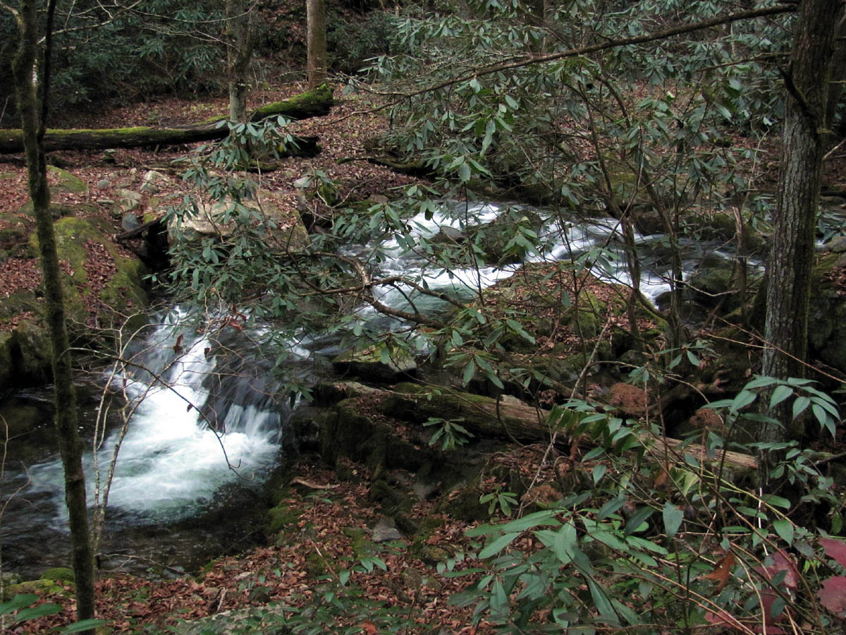
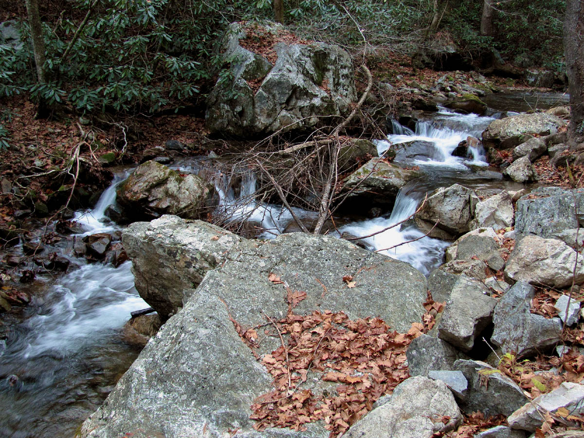
Cascades along Rocky Fork Creek

Cascades along Rocky Fork Creek
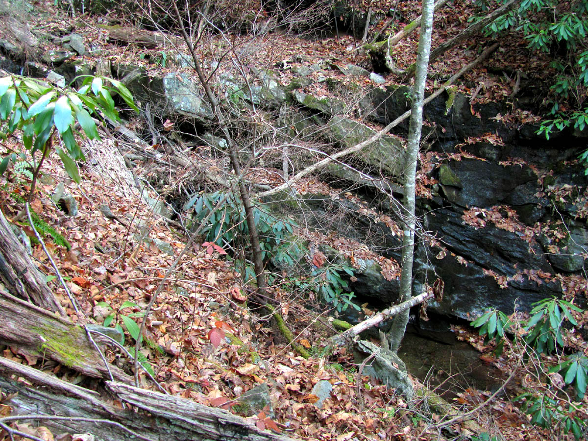
We passed at least three small waterfalls that were every bit as tall as the two lower falls that are listed on the Tennessee Landforms website for this location before we reached the first ‘split’ in the trail. Although there was not much water flowing I know these would be very nice during higher water periods.
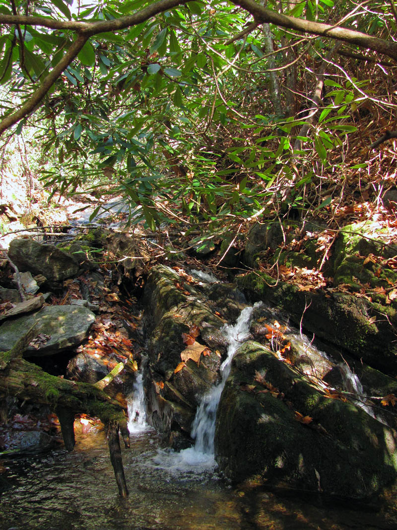
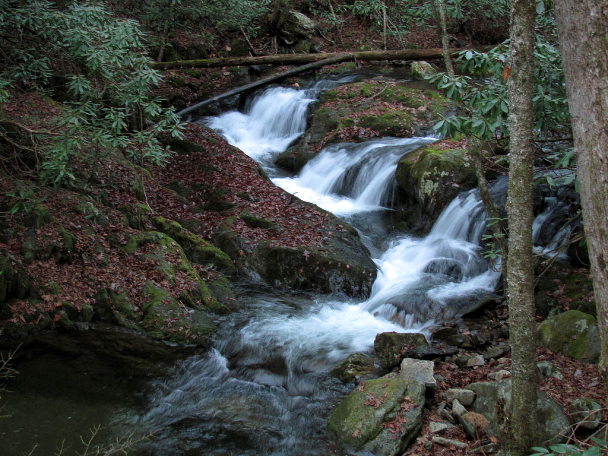
First set of 'unlisted' falls

First set 'unlisted' falls
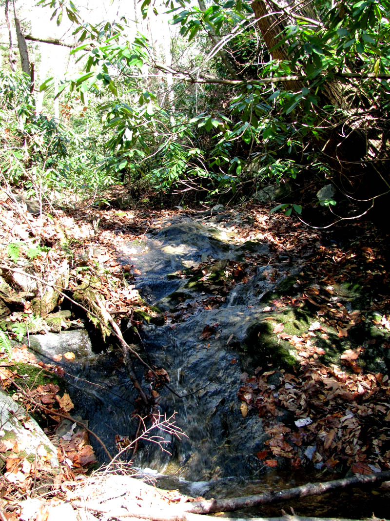
2nd set of 'unlisted' falls
2nd set of 'unlisted' falls

3rd set of 'unlisted' falls (Find Bol'Dar !)
The first ‘split’ is not quite a half mile from the ‘high road’ and taking the right fork, you will soon come to the first of the lower falls (as listed by TN. Landforms).

Lower Long Branch Falls (#1)
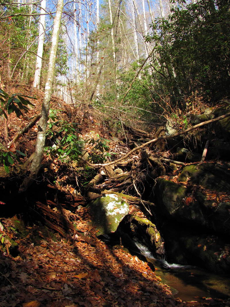
Both lower falls are only about 15 feet in height and are not very noticeable unless there is a significant amount of water flowing over them which was not the case on this trip. Also the sun was very bright so I will definitely have to come back to get better photos of these falls later. You can see stacks of debris piled up by previous flood waters, so it is apparent the water does get up here from time to time. Despite the rough going and the lack of water, it is always nice just to be in the woods enjoying all the beauty Nature has to offer.
Lower Long Branch Falls (#1)
Lower Long Branch Falls (#1)
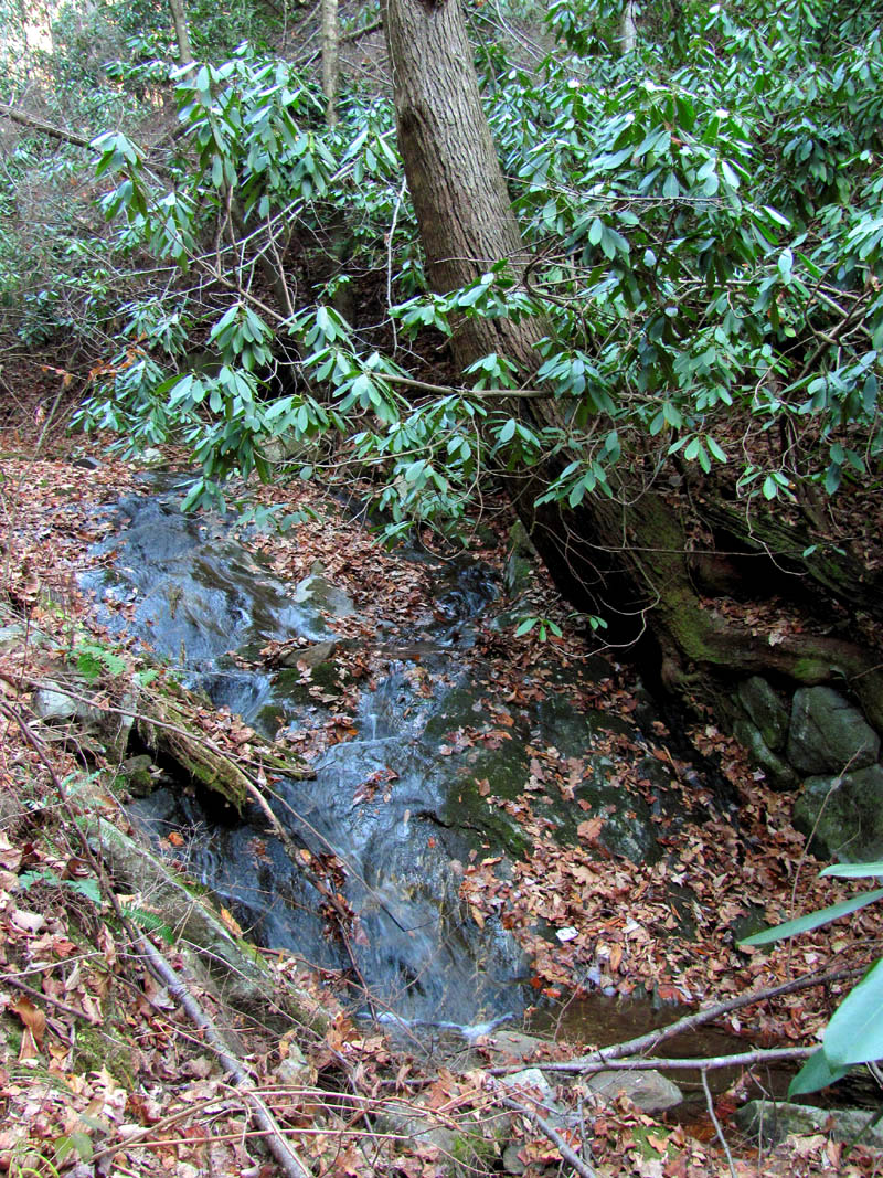
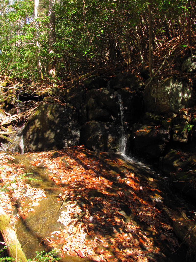
There is a nice 15 foot waterfall not far above the first lower falls. I can’t help but wonder why it is not listed along with the others.

Tyler atop 4th set of 'unlisted' Falls

4th set of 'unlisted' Falls
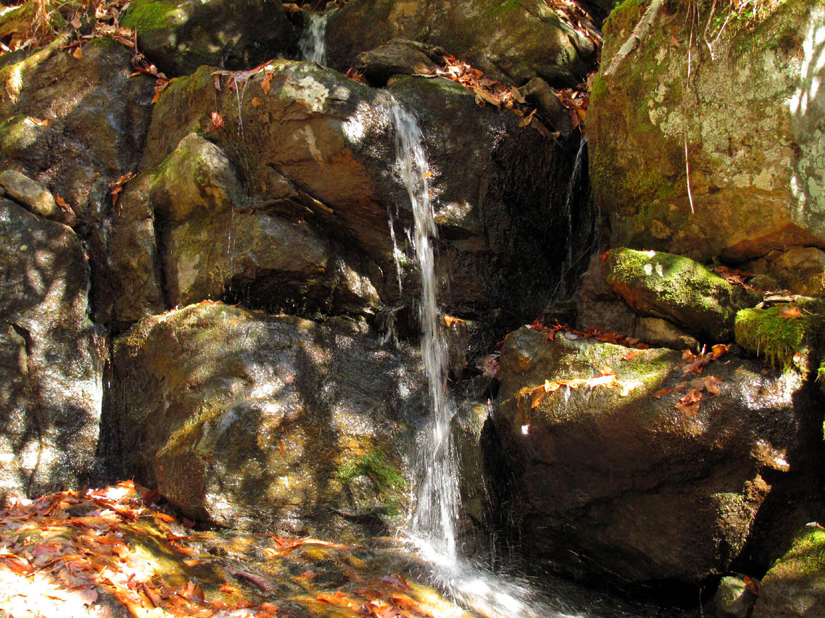
Continuing further up the right fork you soon come to the second set of what is listed as the lower falls. Again, not much to see without a lot of water flowing over them but you can tell how awesome it would be if there was. These are listed as 15 feet but the upper part which is vertical is nearly that tall and then there is a more slanted cascade type rock that continues for at least that much farther. I can’t wait to get back here during the wet season although there are several places where the creek is the only way to travel and it is guaranteed you will get wet ! To see what it looks like with a lot of water flowing, please see Bill Stowell’s excellent photos here.
Lower Long Branch Falls (#2)
Lower Long Branch Falls (#2)
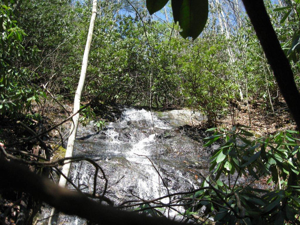
We took a break here to eat lunch and study the maps in anticipation of our next move which would be to locate the left turn to the upper falls. There were some loud jets flying overhead which drew my attention to the blue skies above when I seen what looked like a RAT > PATROL mark drawn in the sky ! This was pretty cool. Continuing onward and upward we soon came to what we assumed was the left turn we were searching for. The trail we were following did continue further on the same creek and there was no trail going to the left, but there was water and the information I had been given, pointed us in that direction so off we went. This was definitely rough going at times with some parts being totally blocked. We later found two very old log roads just above us on the right side on our way out which I would recommend taking instead although, there are some nice cascades to be found up the creek bed that would be nice especially during higher water times. The wet rocks and leaves were very slick and I fell a number of times bruising my legs in multiple places before ever reaching the upper falls. It becomes quite steep just before reaching the falls with more cascades, and even steeper to climb up from the bottom of them to the old log road above.

Upper Long Branch Falls

Upper Long Branch Falls
I managed to get a few pics and then climbed the near vertical hillside to the old road where Bol’Dar and Tyler were waiting. They were each complaining of just being stung by yellow jackets although I went the same route and never seen any. It was late afternoon by this time and despite the old road continuing further upstream, luring us to go further, a quick look at the map revealed it would be a lot of climbing to get to the ‘high road’ going that way, and from experience we knew it would become a bushwhack. We dismissed that idea and rested there awhile before heading back down to see where the new found road trail would lead.. We had gained some elevation by this time although we had only gone about 3/4 of a mile from where we left the ‘high road’.
Upper Long Branch Falls (photo by Dave Aldridge when there was more water)
The old log road was very overgrown and had obviously not seen much travel in a long time, but it was definitely way better than going back down the rough and steep creek bed. We continued on it until it reached the point of the ridge and started curving left beyond the point where we needed to exit. It was also way above the creek where we came in at so we needed to lose a considerable amount of elevation at this point. Knowing we needed to go down here but seeing how steep it was, not to mention the laurels had become incredibly thick, we had to stop and wonder if we could even get through them. Bol’Dar went to investigate and slipped on the incredibly steep slope, dropping his hiking staff which went like a bullet to the bottom, so we were then committed to going down there ! Once we negated the thick laurels, it opened up somewhat and we could then see another old log road further below us. Tyler took off sliding and within seconds was at the bottom ! It was fun ‘sliding for life’ down this leaf covered hill.
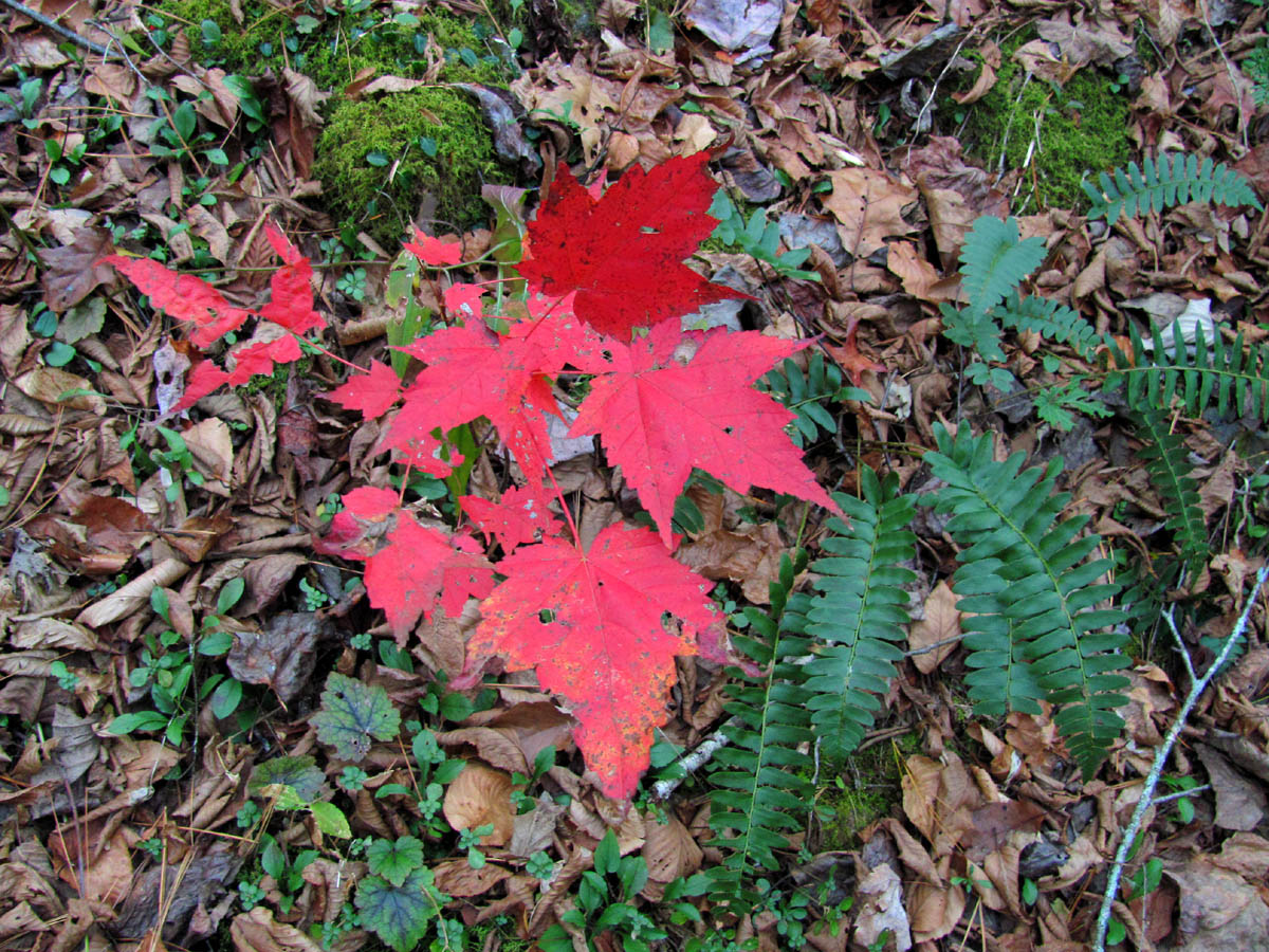
Red Maple and Ferns

Rocky Fork
The second and lower old log road was still a ways above the creek we had followed in and was also a bit overgrown, but it was passable and led us out to just above the place where we went left towards the upper falls. This was definitely the way to go and we will remember this for any return trips to the upper falls. After another short break, we began our journey back out the way we came. It did not take nearly as long to reach the ‘high road’ as it did to get there in the first place as it is mostly downhill. It was nice to be back on an actual trail and not climbing over and under obstacles.
Rocky Fork Creek
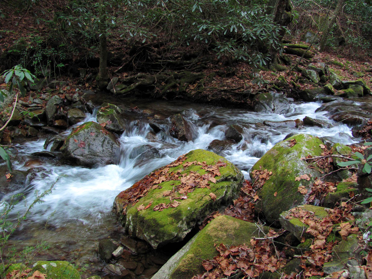
Rocky Fork Creek

Rocky Fork Creek
The sun was setting fast and we had wanted to go further up the ‘high road’ to get a view of Stonehenge but there was not enough time, so that will have to wait until another trip. The moon was already up shining behind the cliffs just before we reached the car. This trip was about 3.5 miles in total. Tyler had already been there about 30 minutes and was sitting in a tree waiting on us. It was a great day to be in the woods but the forecast is for Winter weather to come soon, but I hope to be able to get back to the mountains as soon as I heal from this trip.
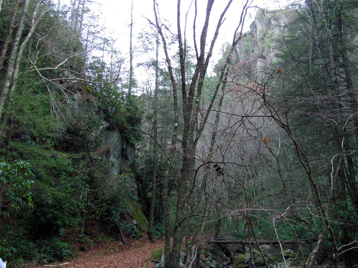
Rocky Fork Cliffs
Rocky Fork Creek
Cascades along Rocky Fork Creek
To see the complete set of photo’s of these falls, please visit our Gallery here.

 My name is 'RAT' and I love the mountains and waterfalls of the East TN. area where I live and I hope you enjoy this blog about my outdoor adventures.


2 Comments to “Long Branch Falls 11-13-2010”