


Martin Creek Falls and more ! – 2-21-2021
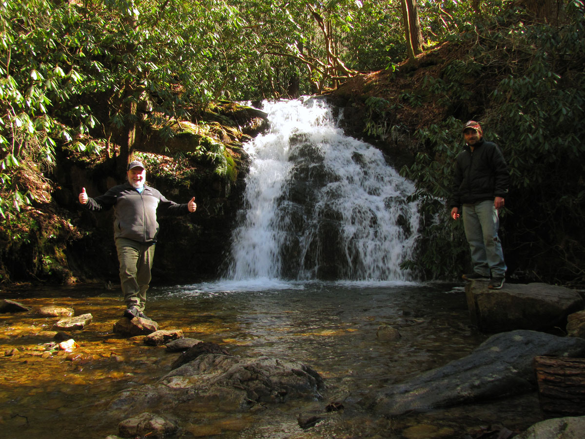
Having been nearly two months since my last outdoor adventure (mainly due to inclement weather), the forecast for a warm and sunny day would make it possible for a last minute trip to be taken on this late February day. It was already noon by the time I called my son Tyler to ask if he wanted to ‘go on a short hike’ ! He was all in so, I figured I would take him to somewhere close by with not a lot of hiking needed to get there and out by dark (which was still around 6pm). Knowing he had not ever been to Martin Creek Falls, I decided to go there as it is a short drive and a short hike and there was some side trails I wanted to explore further that we could use the rest of the time doing. Luckily the ‘Covid Crowds’ were not there as we found only 2 other vehicles parked and we would pass their owners on the trail, both coming out as we went in. It is only about a mile to the falls so it did not take us long to get there. The sun was bright and I did not bother bringing my larger camera that has filters (as I already have decent pics of these falls anyway) so, using my pocket cam made for low quality images.
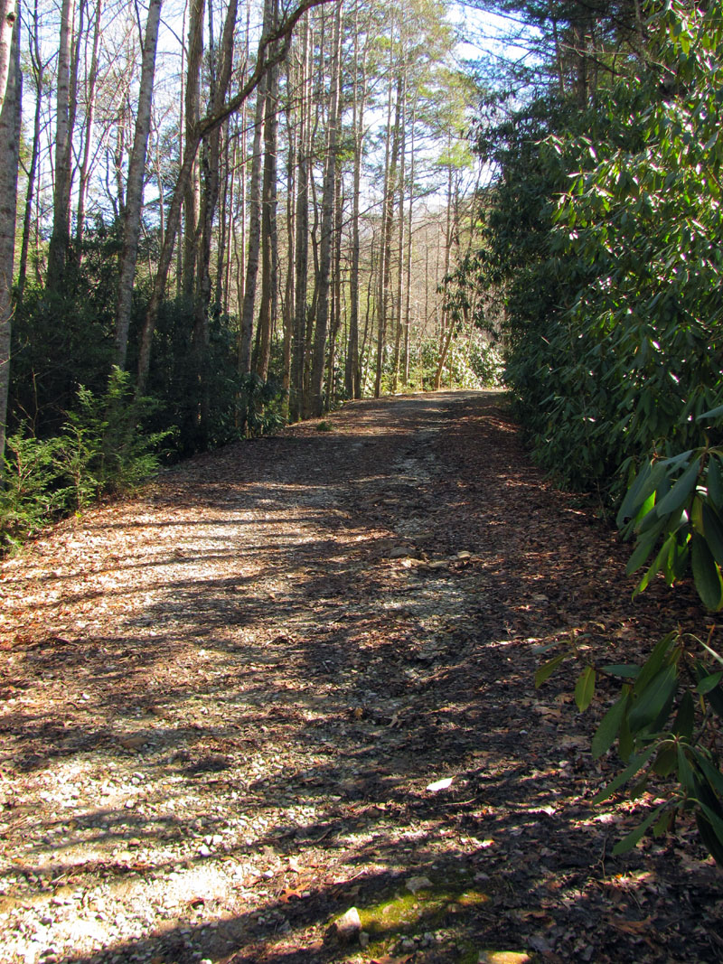


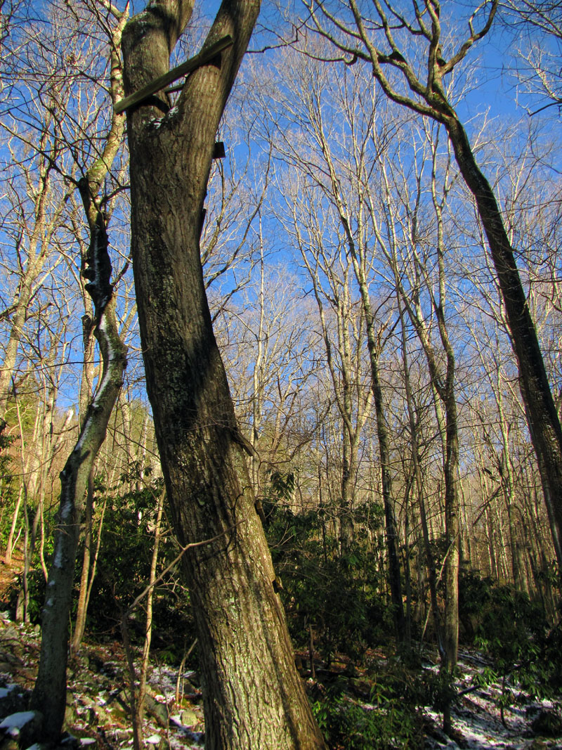
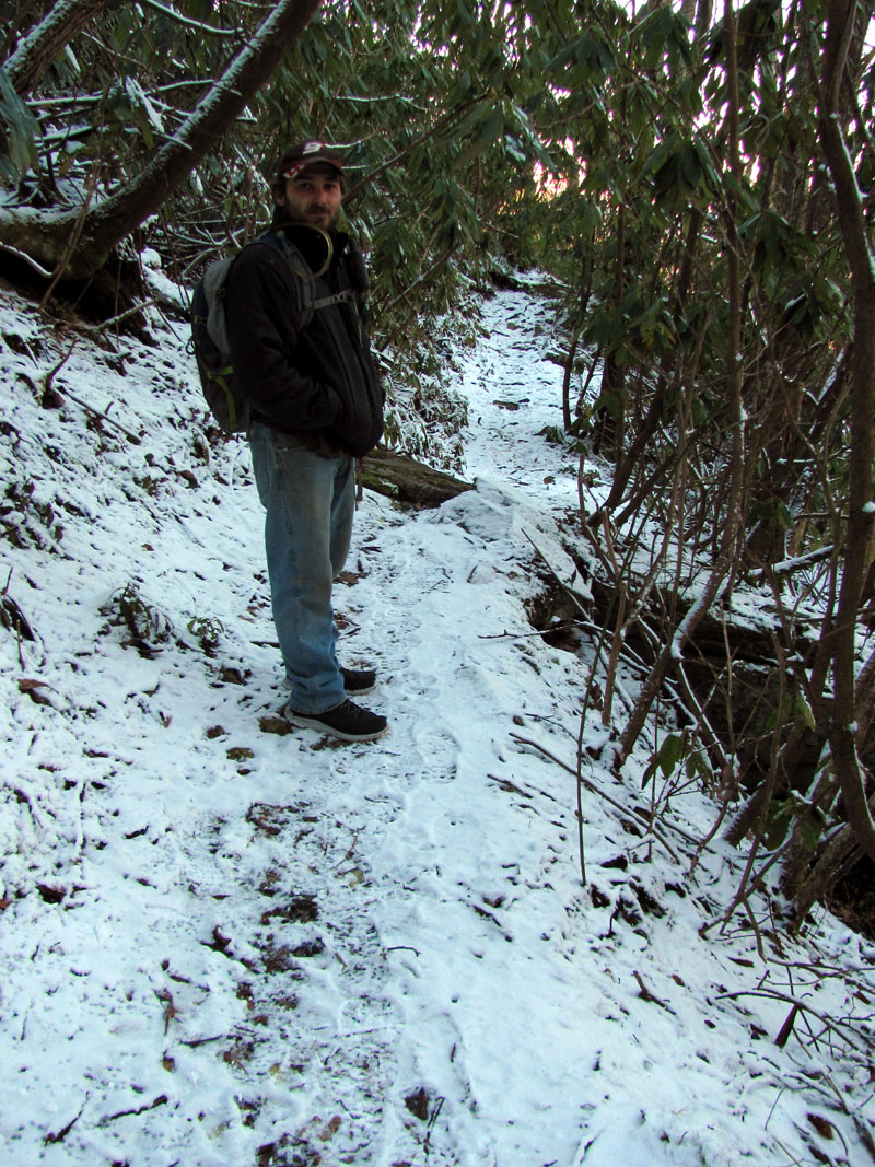
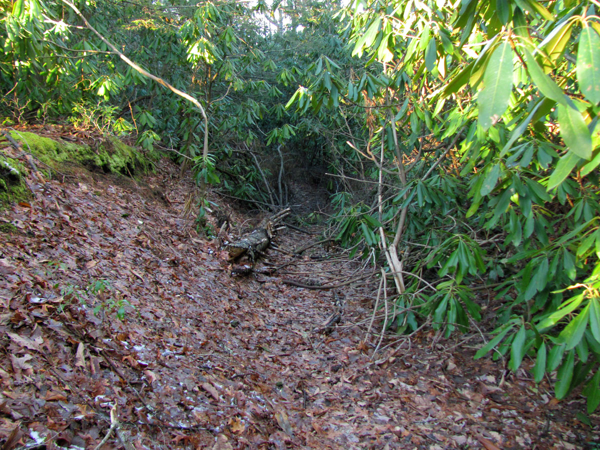
We still had some daylight to use up so I then took us to a nearby area to check out an old trail that I was interested in. Last time I looked for it I did not have time to venture far enough into the woods to see if it was still there or not so maybe this time I could finish that task. Unfortunately, after a quarter mile of bushwhacking, it became a crawl over and under type of thing so, the old trail had obviously been reclaimed by Nature. We retreated back to the old forest road where I got this crazy Idea ! Knowing that the old trail I was looking for used to come back out on the road much higher on the mountain (only was a much shorter route) and then proceed back into the woods to climb much steeper to the top where the side trail to the Bucket List Cliffs can be accessed, I thought we might as well take the road up there and see if that part of it was still there or had also been overtaken by Nature. Tyler was ok with it as walking the old road was not that bad despite being a fairly steep and constant grade. We knew coming back down would be a cake walk.


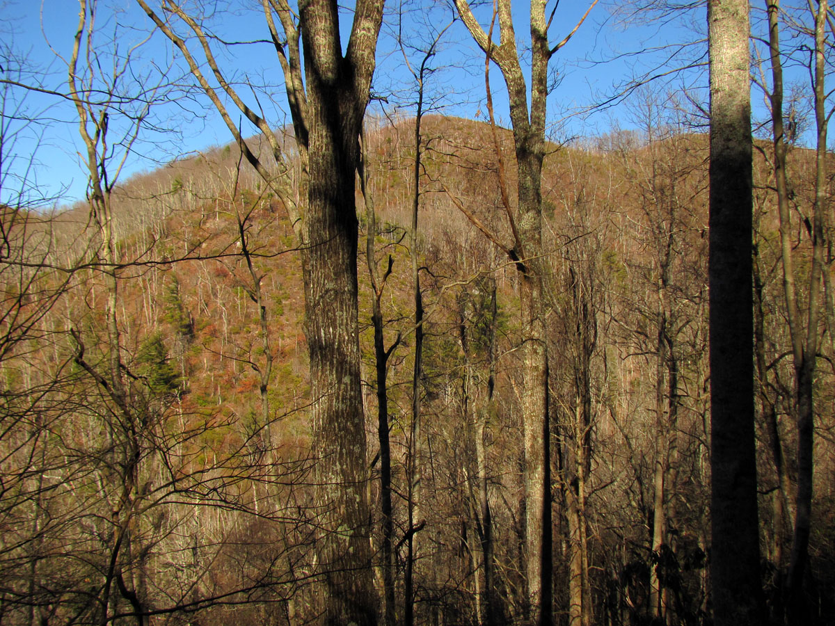


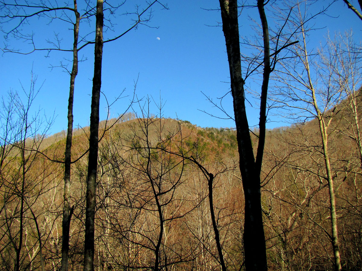
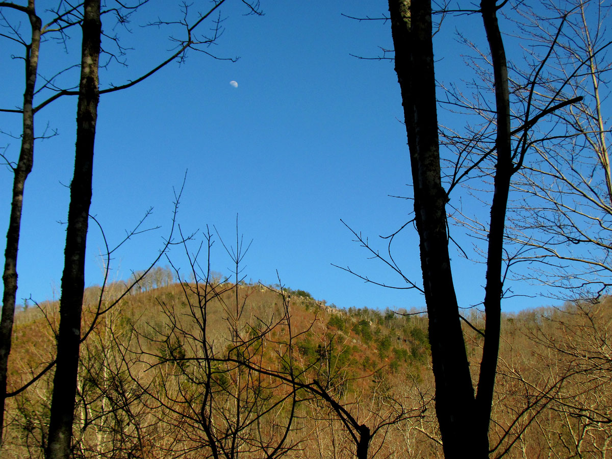

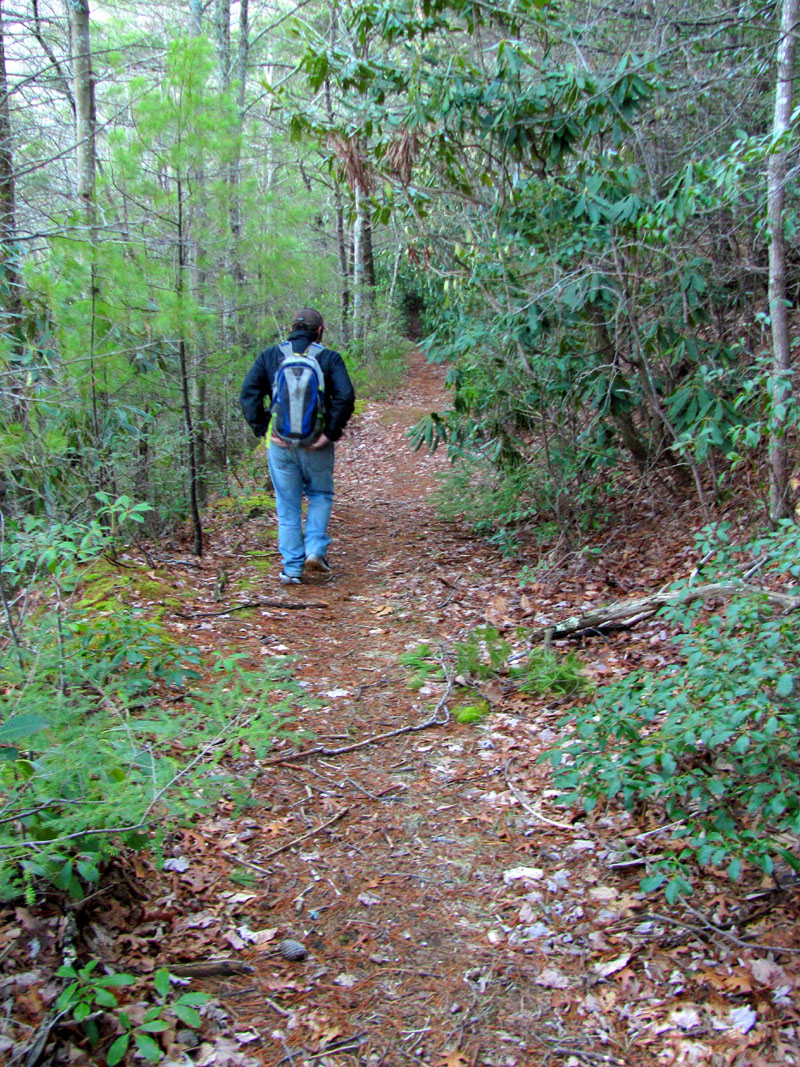
It was at least another mile or more to where the old trail used to cross which is basically close to the end of the old road. The shady hollows actually had some snow and ice on them which made us appreciate the sunny spots. We did locate the old trail crossing and confirmed the lower section is indeed no longer traveled but, the upper section did continue and appeared to be still used by a few hikers and hunters. Tyler was not packed for an all day hike and knowing we only had a couple hours until dark, it took some convincing to get him to follow me up this really steep and rocky trail ! I did promise him that although it would be insanely steep that it would only be about 3/4 mile to the top where we could then hit the AT and take it another 1.8 miles, basically level with no further elevation gain to where we could pick up another side trail I knew existed that would bring us back down all that elevation in just under a mile to the old road again to make a grand loop of it all. Of course there would be the extra mile on the old road back to the vehicle. Not sure why Tyler agreed to this as we only had a couple hours of daylight left and since we were nowhere near being in tip top shape we should have known this would be tough if not impossible to pull off ! Oh well, we have came out in the dark many times before so we started climbing the old trail straight up towards the cliffs.

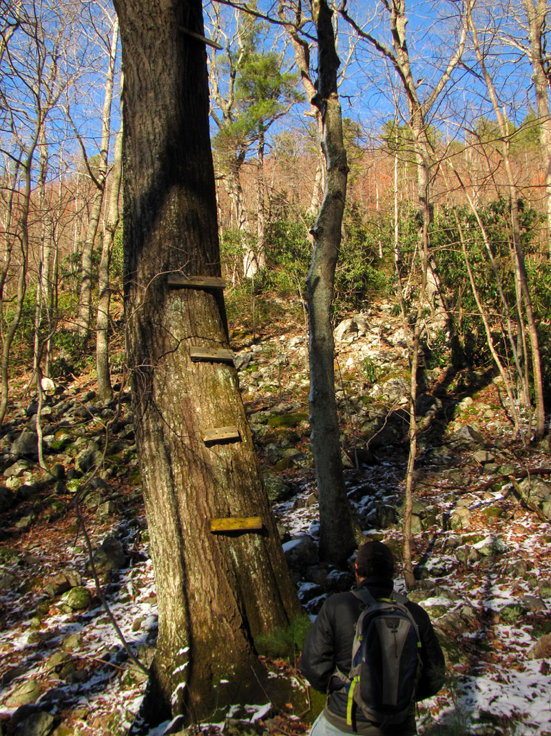

It turned out to be a decent trail considering it was primitive and not traveled by many but, it was steep. It really took the wind out of my sails yet, being so steep made quick work out of getting to the top. We made really good time clawing our way to the top of this and I was so happy to see the AT where I could finally stand level. We came out within yards of the side trail to the cliffs confirming my thoughts that it was possible to come in that way and that it was still passable. We took a good break there before noticing the sun was getting low in the sky and not wanting to go back down that steep rocky trail decided to go for the grand loop idea. That being said we started hiking aggressively and with purpose Southwards on the AT.
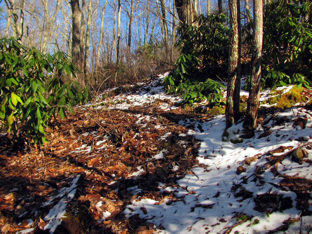


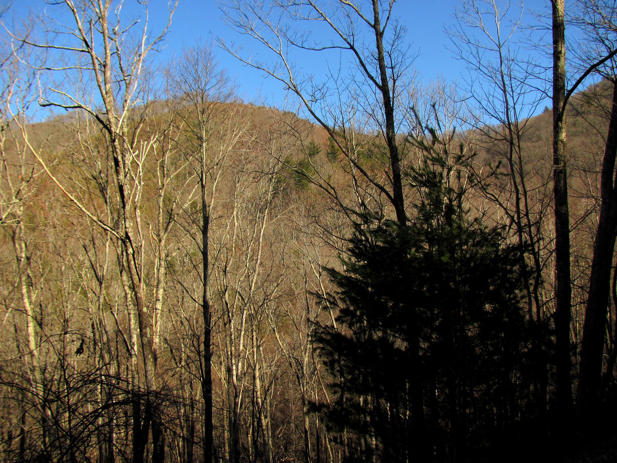
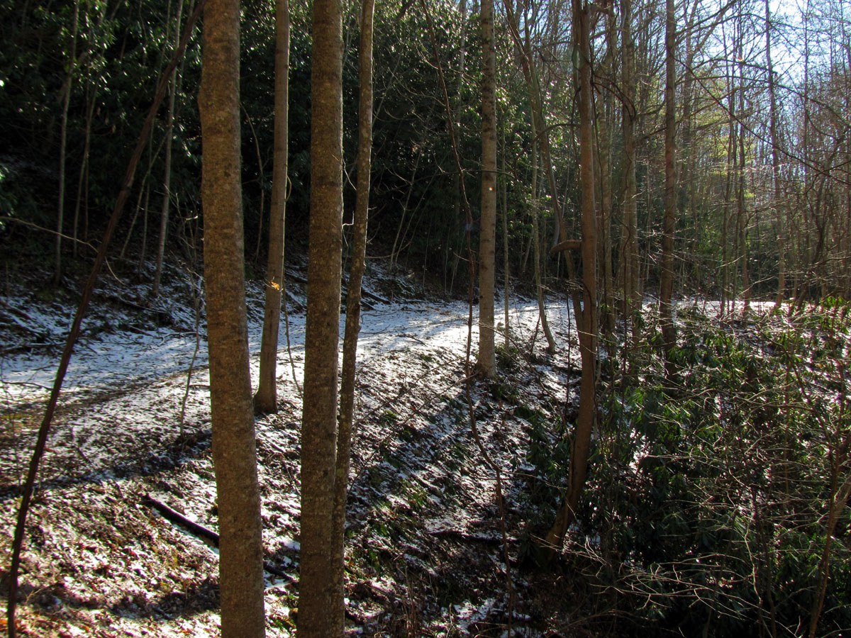
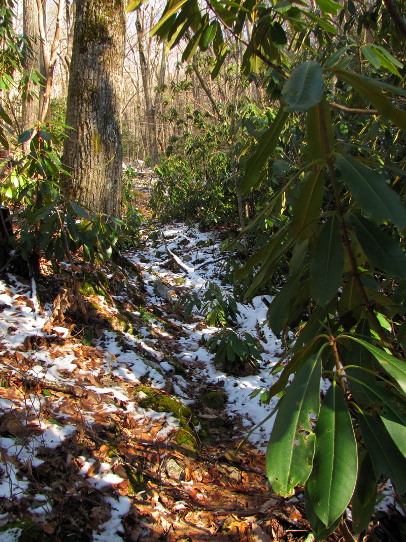
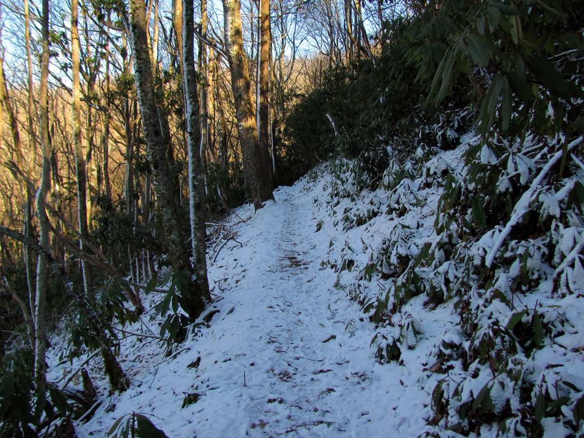
It is just under 2 miles to reach the side trail I was looking for that would take us back down to the old road where our vehicle was but, it meanders in and out of at least a dozen hollows and finger ridges over some rocky terrain and streams before getting there. The ‘ins’ would be in the shade where there was still inch deep or more snow and ice from previous storms and the ‘outs’ would be the sunny zones where we would warm up again. The sun was behind the mountains by the time we reached the side trail and the wind was picking up so we wasted no time in heading down the mountain. I was happy to see the old side trail was still there and in pretty good condition. It is steep but, fairly well graded and not many blow downs so we made really good time going down it. We did meet and take a few minutes to speak with a nice couple on a large motorcycle coming up it near the bottom which was surprising to us but, somehow we made it to the old road and the rest of the way to the vehicle to arrive just before complete dark never needing a headlamp !


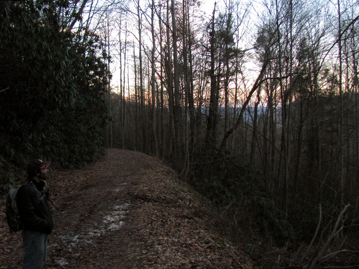
There was a decent sunset which made me wish we could have been at the cliffs to see it but, there will have to be another time for that. I enjoyed what we had from the vehicle and was feeling pleased at the number of miles (7+) and the elevation gains that we had accomplished in a mere 5 and a half hours ! Amazingly we felt really good and was not too sore and stiff then or the next day so this had been a great workout to help get us into shape for the coming season. We celebrated with an excellent post hike grub out at Primo`s in Unicoi. As soon as the snow melts in the high country we will be going to my trail section for the Pre Spring walk through. Until then,,,


Tags: AT, cliffs, falls, martin creek, rat

 My name is 'RAT' and I love the mountains and waterfalls of the East TN. area where I live and I hope you enjoy this blog about my outdoor adventures.


Leave a Comment