


Devil`s Courthouse and Silvermine Bald Cliffs – 10-14-2015
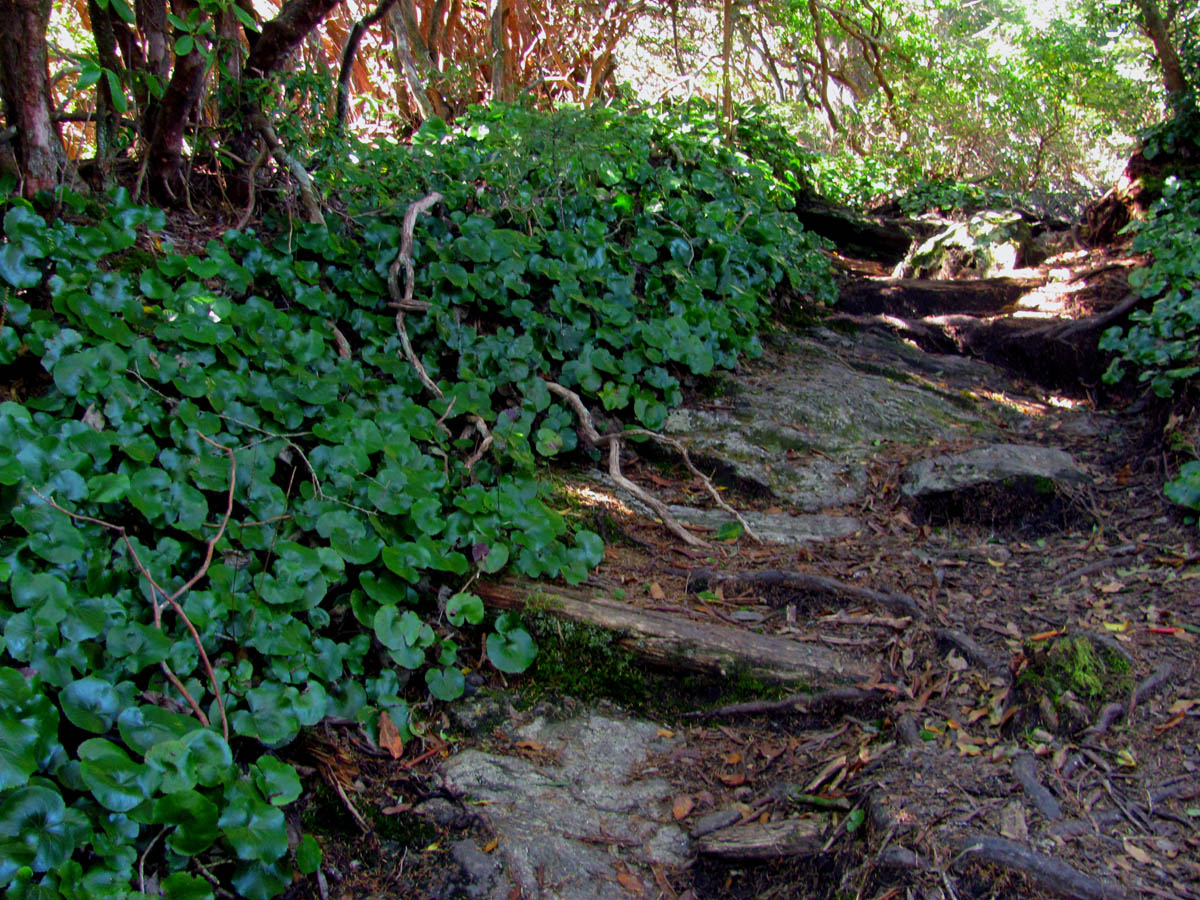
Ever since a previous trip to the summit of Sam`s Knob on 10-22-2014 where I got a view of a gnarly looking cliff way off in the distance that I later learned was called ‘The Devil`s Courthouse‘ and was accessible from the Blue Ridge Parkway, I have been wanting to go stand upon it. This would come true nearly a year later when my friend John Forbes and I would make the conscious effort to do so. After a 2 hour long drive we arrived at the parking lot and trail head on a bright, sunny, Fall day and although there were a lot of colors on display, they were not yet in full peak. We had planned to stop at Graveyard Fields on the way but, due to the massive hordes of people there, it was not possible. There was not even a parking space ! It was not as crowded at the cliff mainly because it is a 20 minute climb uphill to it. We parked at the trail head and took a couple of pics from there before beginning our ascent to the top.

View of Devil`s Courthouse Cliffs from the parking area
It is a paved tourist type trail and I usually avoid these however, it is a significant cliff and I wanted to stand on its summit and hopefully find a way to its base so up the paved trail we went ! Despite the intense sun washing out the pictures we took, it was still an awesome view to see in person. Was a little hazy but still can see for many miles in all directions. I could see back over to Sam`s Knob which oriented me as to where I was. I got several pics from the top while other visitors came and went.

We got this little teaser view off the backside of the trail that leads up to the cliffs

Zoomed view of the colors seen in the above pic as seen from a small lookout found on the backside of the trail to the cliffs

View from the top of the cliffs. Looking towards Sam Knob (right)
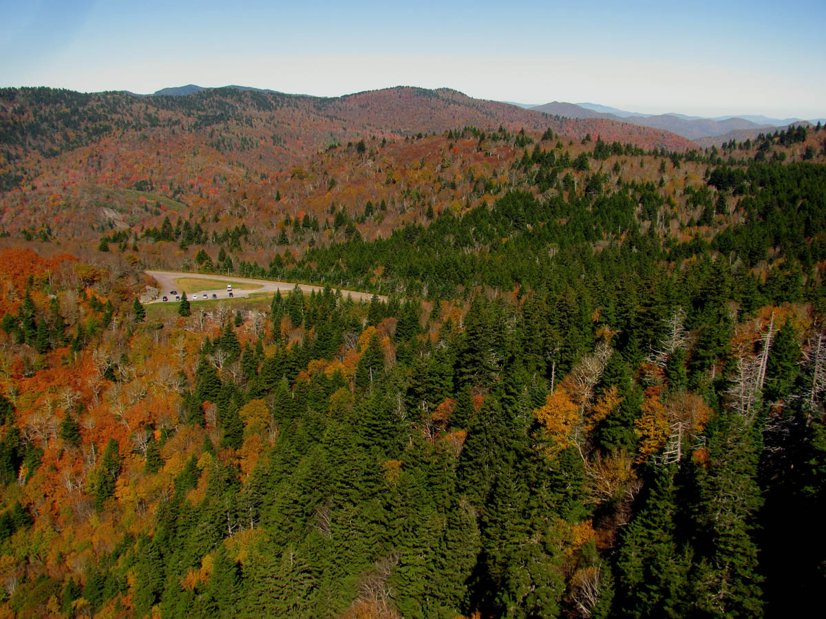
View from the top, panning farther left you can see the parking area below along with the incredible views

Continuing to pan left you can see some smaller cliffs just beyond the parking lot. We would check those out later that day.

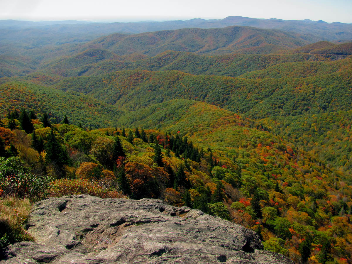
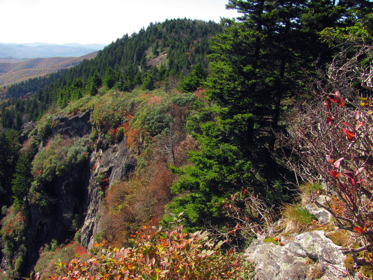
Panning farther left to continue the panorama the views just get better as you can begin to see more mountains in the distance

View continuing to look farther left, over top of the Devil`s Courthouse cliffs seen here

Farther left you can see Toxiway Mountain from here and if it was not so hazy , you could better see Toxiway lake way out in distance (left of center)
Farther left in a darkened pic you can see Toxiway Lake in the top right

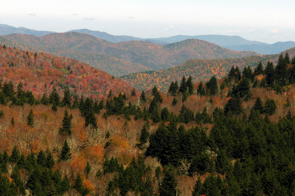
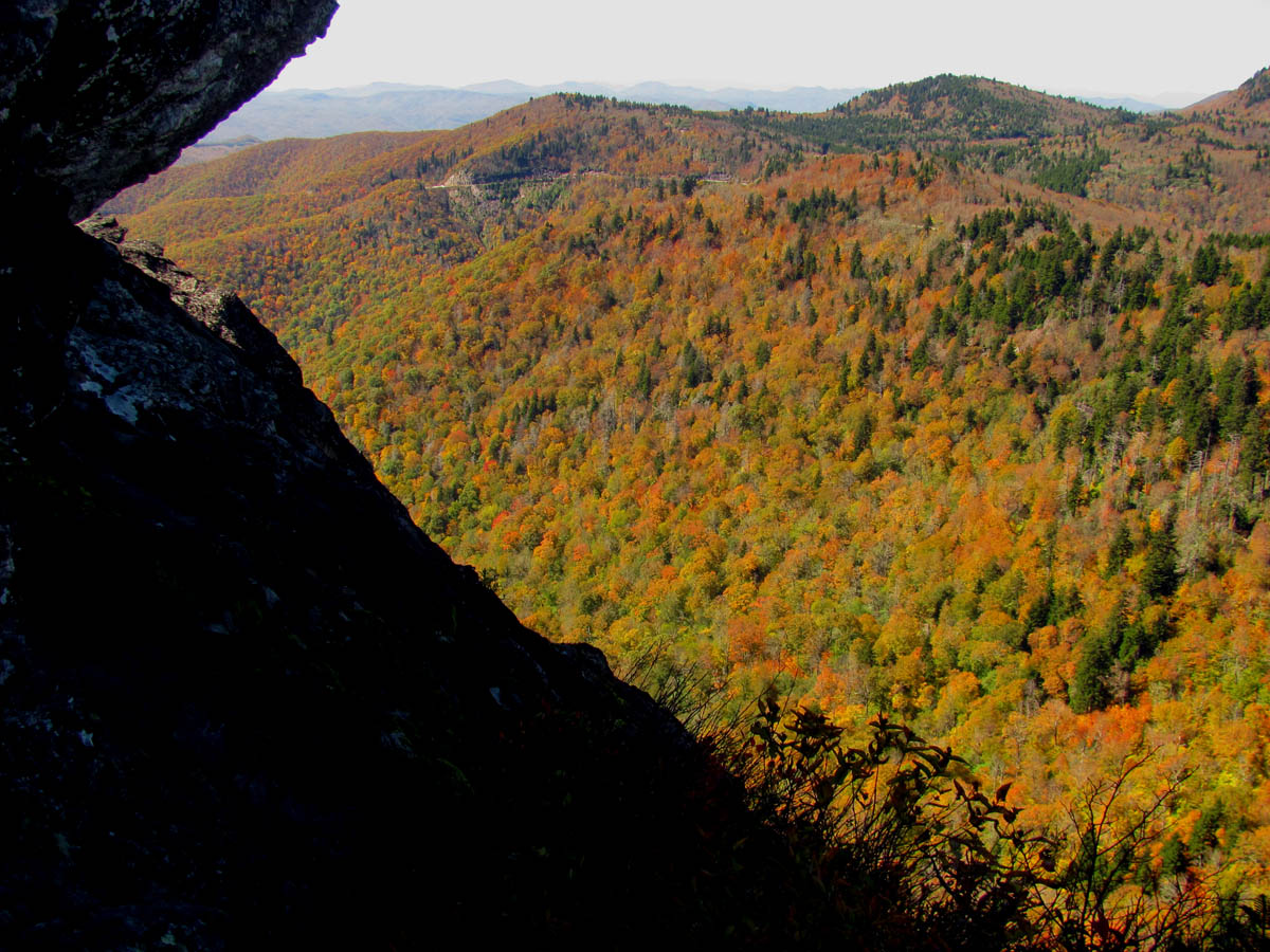
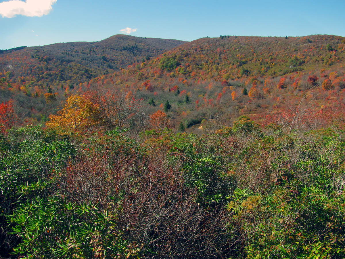
The colors around the cliffs and along the ridges were just starting to get nice
Looking down at the cliff tops

Even with bad lighting you can never tire of this view
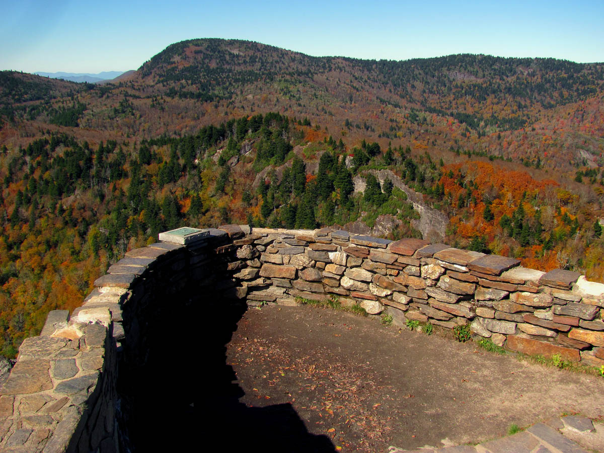
The tourist overlook

More from the tourist overlook

Me on the wall at the overlook (Photo by John Forbes)
I did attempt to get some shots with my larger camera but, I am not sure if they are as good or any better than my pocket camera pics. Either way, here they are:

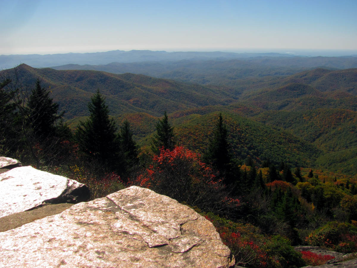
View from the tourist overlook (this is looking towards Sam Knob)

Slight zoom towards Sam Knob

More of a zoom towards Sam Knob

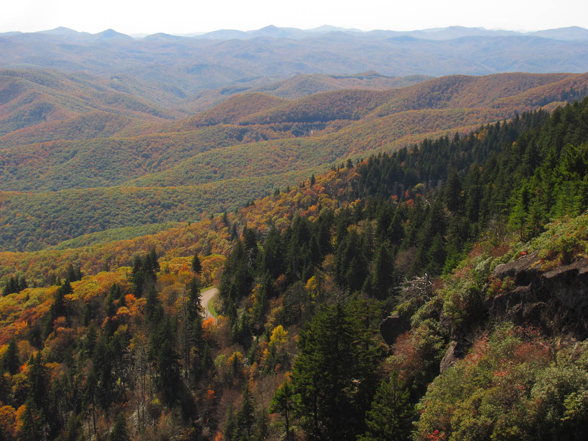
Zooming to the left of Sam Knob towards the Flat Laurel Creek Valley to show the colors there that seemed to be better than anywhere around here

Zooming in on the valley below Sam Knob to show the beautiful colors there

More zoom ! The colors were fantastic way out there !
Continuing to zoom the colorful valley

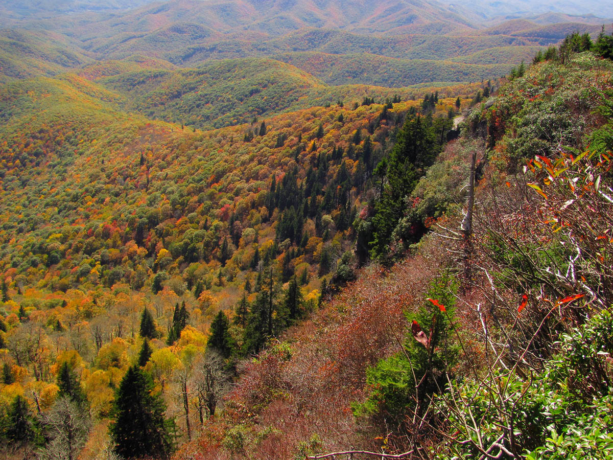
Panning left still slightly zoomed

Continuing to pan left still slight zoom

John Forbes gets some shots over top of the cliff tops from the tourist overlook
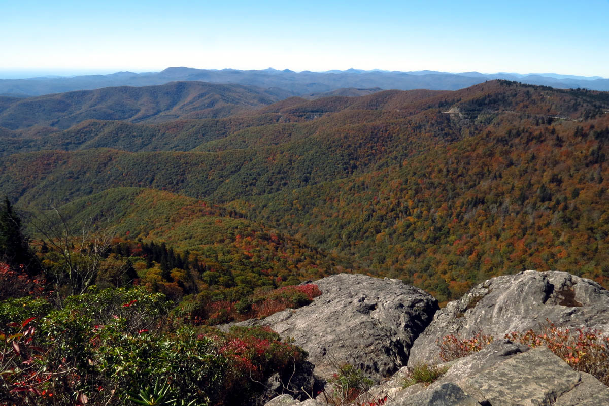
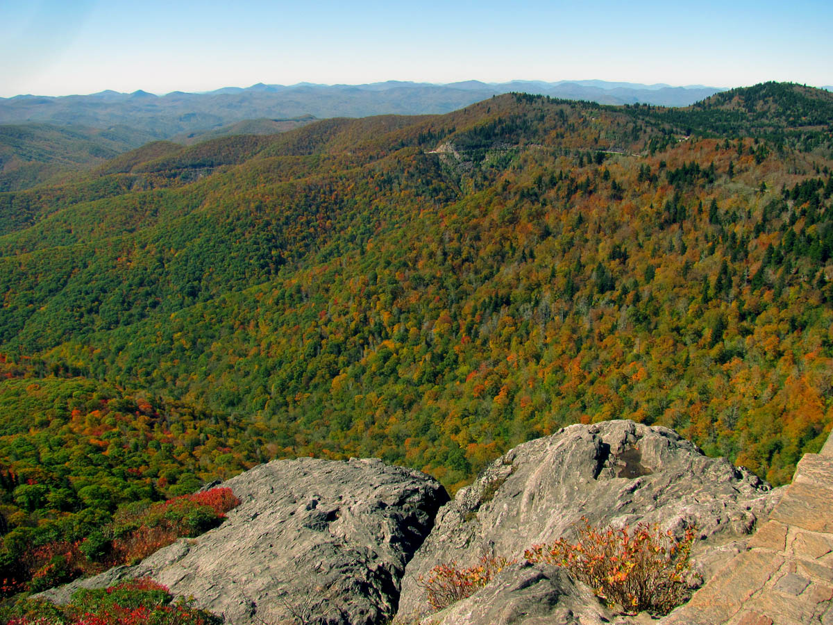
View over the cliff tops (That should be Toxiway Mtn tallest in distance)

View from the tourist overlook

Looking farther left

The colors were nice but not yet in peak

Looking out the back side of the tourist overlook

Me doing a Gnome pose atop a marker tower at the overlook. Caption: ‘Heaven Let Your Light Shine Down !’ (Photo by John Forbes)
I knew that we would be climbing over the tourist barriers and climbing out and down onto the cliff all the way to the edge before we would be leaving so it was just a matter of waiting for the right moment as to not freak anyone out. Just before we were about to proceed we looked up and saw some familiar faces coming into the overlook area. It was Kitty ‘the rock sprite’ Myers and her friend Mary Gavik. You never know who you are going to run into on an adventure ! Despite the strange looks of some older folks, we jumped over the rock wall and proceeded to climb down onto the cliffs. This was the best part of the entire journey.

View from just below the tourist barrier

View from the upper cliffs edge

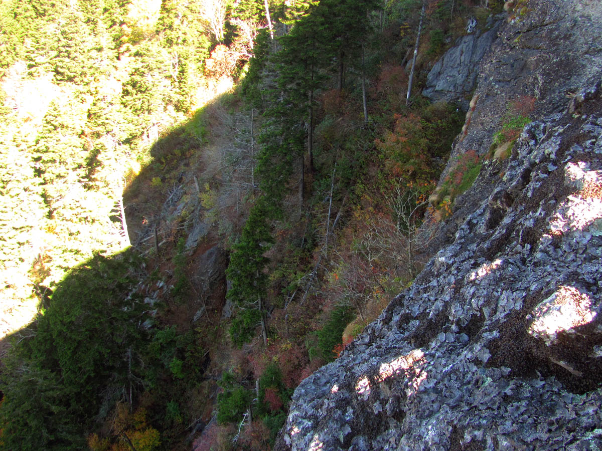
Looking down from the cliffs edge

Looking over the edge

My view of the lower cliff tops as I make my way towards them

These cliff tops look small alone but, with John Forbes in the picture you can see just how much larger they really are !

A small Gnome (John) in a large world

John doing his famous Gnome pose on the edge of Devil`s Courthouse Cliffs

John doing his legendary Gnome pose along the edge of the cliffs

Me on the edge of the Devils Courthouse Cliffs (Photo by John Forbes)
There was a huge crack in the cliff which we were now standing right on top of. The views over the edges were spectacular to say the least. We spent the better part of an hour exploring this area before climbing back up to the tourist area. I was hoping no one had called the authorities to report some crazy people on the edge of the cliff ! After all, there is no signs saying not to ! I checked out the less vertical left side of the cliff and did see that it would be very possible to get to the base going that way that would not require any ropes but, I had hopes that there would be a side trail from the right side that we wold look for on our way out.

Looking down the crack in the cliffs

View through the crack

Continuing down the edge of the cliffs I had this view on the next level

Looking back up at the tourist overlook I can see Mary Gavik looking down upon us crazy people as we explore farther down the cliffs well beyond the confines of the tourist barriers !

A beautiful view from the edge of the cliffs

My view towards the parking lot as I make my way along the edge of the cliffs

Hanging out along the cliffs edges was breathtaking

Looking back up from where I had started you can see how far down I had came as Mary sits and watches us descend. Still a long ways to go to reach the far edge of these mighty cliffs

Living life on the edge you can see someone`s head at the top where the overlook is. I am sure anyone up there thought we were nuts and I was happy no one called the authorities !

Looking back up towards the overlook, you can see the beautiful colors on the sides of the cliff

My view looking back up at the overlook. That is Kitty Myers standing on top after she had already been down to the lowest point of the cliffs and explored all of its edges and had returned to the top

Here I am Gnome posing at the edge of the cliffs while John is taking a pic of me doing it ! (Photo by Kitty Myers)

Me Gnome posing on the edge of the cliffs ! (Photo by John Forbes)

The view from the edge shows that it is indeed a long way down !
Peering over the edge
Checking out the upper left side of the cliffs I came across this snake head rock

My view from the upper left side of the cliffs
I got an up close and personal view as I made my way to the lower edge of the cliffs

Looking over the edge from the lowest point on the cliffs just before I climbed down to the ledge below me !

Checking out the lowest part of the cliffs it was obvious that one could easily get to the base without ropes by going this route

As I reach the lowest point on the cliffs you can see just how vertical they are as I look back across them towards the parking area

Once I climbed down on the puckering perch ledge, I could see John above me

View from the ledge I climbed down on which was the lowest point you can go

Closer view of the snake head rock

View from the extreme left side of the cliffs

Coming back up the cliffs I got this cool shot over a pothole

Enjoying the views as I climbed back up the cliffs

More views from the edge

I could not stop taking shots of this view, it was just that good and, the light was changing,,,

sitting between two of the cliff ledges I was able to use the rock to frame this shot looking towards Sam Knob

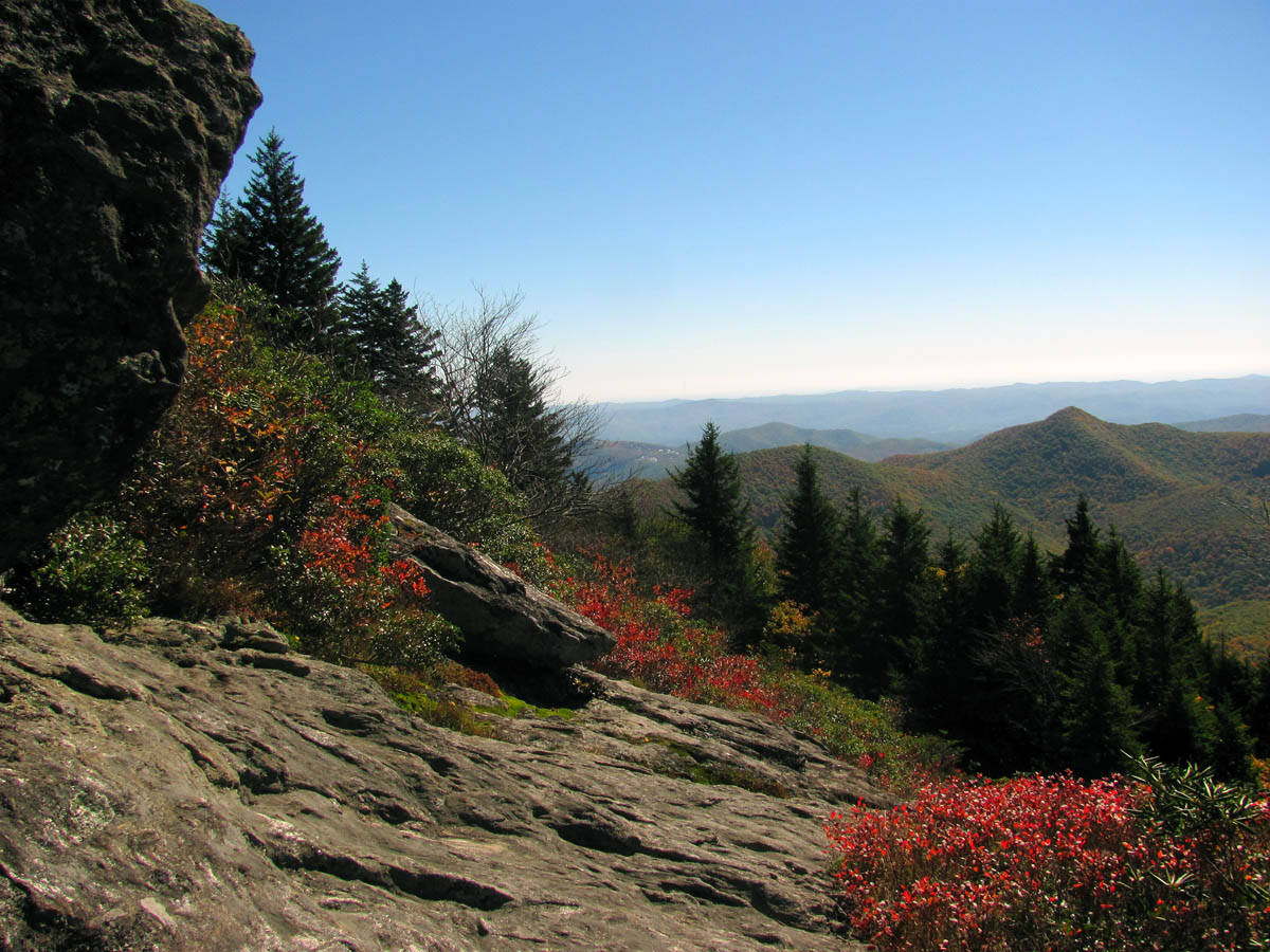
Some of the Fall colors that were beginning to show

These oranges were brilliant !
On the way out we did check out a side trail just at the summit but, it led out to the edge of the cliff where we got some unique views yet, was a dead end as far as going any further or to the base was concerned.
View from the dead end trail on the opposite side of the cliffs

View from the dead end trail along the opposite side of the cliffs. I realized I had been on that ledge on the other side earlier !
Once back down the trail, John and I would explore a couple of possible routes to the base but, each one ended in extreme steepness and would require a major bushwhack if the base was to be reached. We were not feeling up to such a challenge especially knowing it would most like be much easier to go down the left side from the top so we abandoned that idea and made our way back to the car where we would explore some other cliffs seen on that side.

Tunnel near the cliffs along the parkway aptly named as such
Looking up at the cliffs from the parking area. Yes those are people on the highest top edge, if you look close.
View of the cliffs showing the brilliant colors there

Devils Courthouse Cliffs

Zoomed shot which shows people on top, and one person who went beyond the barriers to check out the cliffs. Here you can see the profile of all the ledges and edges we had just explored
Once back to the car we drove back the way we had came on the parkway but, within the first half mile we saw a huge vertical set of cliffs on the left that really peaked our interest. After passing them I just happened to see a small trail that caught my eye going up the bank right off the road. There was not a metal sign yet, there was a small stone marker along with some steps and an obvious trail if one looked hard enough so, we turned around and went back to check it out. Come to find out (from a group of youths out on a long hike) it was the Art Loeb Trail that crossed there and it would lead to the top of the cliffs if we were willing to climb a really steep ridge. We had time so we decided to check it out. I later learned that the top was called Silvermine Bald.

brightly colored fungus growing on a tree along the Art Loeb Trail

Freshly dug switch back along the Art Loeb Trail

There were several rock walls as the trail snaked its way between them on its steep ascent of this ridge
The camera can not show steepness but this was straight up

After a half hour of hard climbing we were nearly at the top
Let me just say that this was one steep trail ! It was straight up the entire way and it took the better part of an hour to make it to the top of the cliffs. There were some rock walls along the way that were very nice but, the trail was steep and very rugged. I was very glad when we reached the top where the trail intersected with the Mountains To Sea Trail that runs the top coming in from the Black Balsam area. We took a left on it and within a short time we came to a very small opening in the trees where we found a small step down to a very small 2 x 3 foot knoll right on the left hand side of the tip top of the vertical cliffs we had seen from below. This was our first view from the top of these cliffs.

View from the small opening we found. You might recognize that pointy hill out there from our pics from the Devil`s Courthouse Cliffs

Looking back towards part of the steep ridge we had just came up

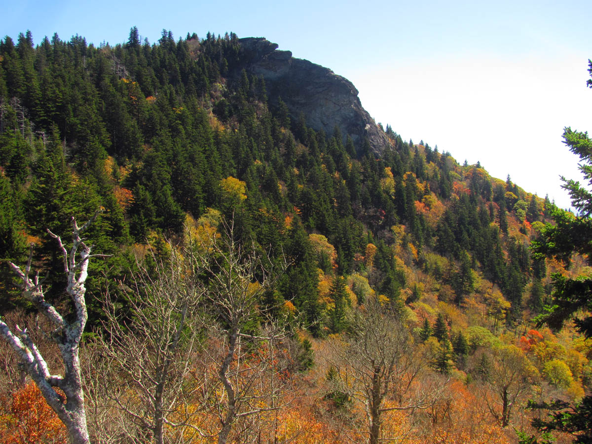
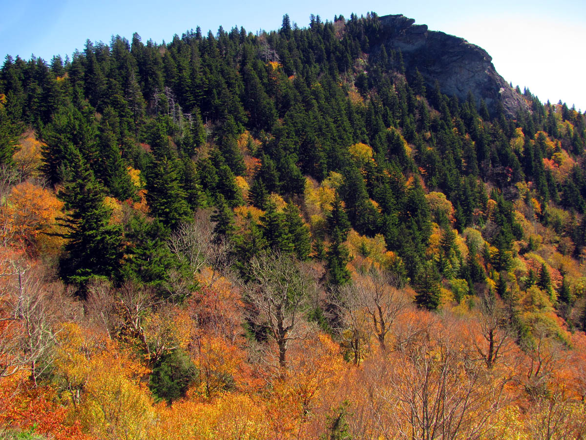
Looking across the top of the huge vertical cliff we were on you can see Silvermine Bald (the one covered in pine trees lol) To orient you on where this is in relation to the Devil`s Courthouse Cliffs, you will note the parkway curve below Silvermine Bald, around that corner lies the DC Tunnel and the cliffs are just hidden behind the mountain you are seeing here.

These cliffs are very vertical and very tall
Our puckering perch here is only about a 2 foot by 3 foot ledge

Looking from our tiny edge over at the steep ridge we had just climbed up

Looking down from our small perch. The parkway is below us but it is hidden

In this view you can actually see part of Toxiway Lake in the top left

Looking towards Silvermine Bald as it blocks out being able to see the Devil`s Courthouse Cliffs (backside) which are just behind it

The view from these cliffs is amazing

The view here was great as we rested from the arduous climb up

The colors were just starting. I can not imagine how nice it would be from here during full peak !

Looking in this direction you can see where the parkway is hiding way down below us

It is hard to beat a view such as this !

An endless ocean of trees. Here Toxiway Lake is more visible in the top right

In this shot we could see smoke coming up between Toxiway Lake and Toxiway Mountain
Zoomed shot showing the parkway and the ridge behind it that leads up to Devils Courthouse Cliffs

Zooming over on part of the cliffs, it always amazes me how well things can grow on solid vertical rock !

Zooming over to the far side of these amazing cliffs, I could see what looked like a hiker standing at the top of the highest small rocky outcrop. We would learn that this was where the Mountains To Sea trail was as it crosses Silvemine Bald there and provides that overlook for hikers there

Looking across to the other side of the cliffs

I did a super zoom to confirm that a hiker was on the other side of the cliffs !

Super zoom of the hiker I could barely see across from us. Here you can eve see his pack.

As I zoom out you can begin to see the size of this place

Zooming out more you can still see the hiker and the scale of these cliffs

Without any zoom you can barely see the hiker standing over there !

John carefully does a Gnome pose on the tiny 2 x 3 foot ledge we were on.

Me doing my best Gnome pose on a very small piece of real estate (Photo by John Forbes)
Farther down the MST we found another look off that was even better where we got what pics we could in the bright sun before heading back. We did not go all the way to Silvermine Bald which is on the other side of the cliffs as it was getting late and John was not feeling up to par plus we were both getting hungry. Knowing we still had a long drive to make, we went back to the trail intersection and began the steep descent back to the parkway below. We would come back here on another day but, next time I will come in from Black Balsam side and avoid this crazy steep climb !

Amazing view
Looking across the top edge of these extremely vertical cliffs. They are covered in growth so you can not see the top edge of the rock and it would be highly dangerous to venture out there

This was another one of those views that we never grew tired of

John stands at the crossroads where the Mountains To Sea and Art Loeb Trails connected
It did not take long to get back to the car and I walked up the road to get a couple pics of the colors around a small part of the cliffs that could be seen from there. I did not go far enough to get the big view of the entire cliff system due to the high volume of traffic on the parkway at that time. We did take some time to drive out to Black Balsam to where the Sam Knob parking area is to check that out and get a few views from there but, it was very crowded so we did not stop. I mainly wanted to refresh my memory of where the MST crossed that road for any future trips back to there.

View of a small part of the cliffs from the parkway

Small part of the far side of the cliffs as seen from the parkway
Also on our way back, we did find a spot to squeeze into on the side of the road at Graveyard Fields just long enough to get a few pictures from the parking area. The colors were not full peak but getting close.

Graveyard Fields

Graveyard Fields
Graveyard Fields

Graveyard Fields

Graveyard Fields

Graveyard Fields

Graveyard Fields

Graveyard Fields

The colors are always great at Graveyard Fields, esp the reds

The brilliant reds always found at Graveyard Fields

Graveyard Fields
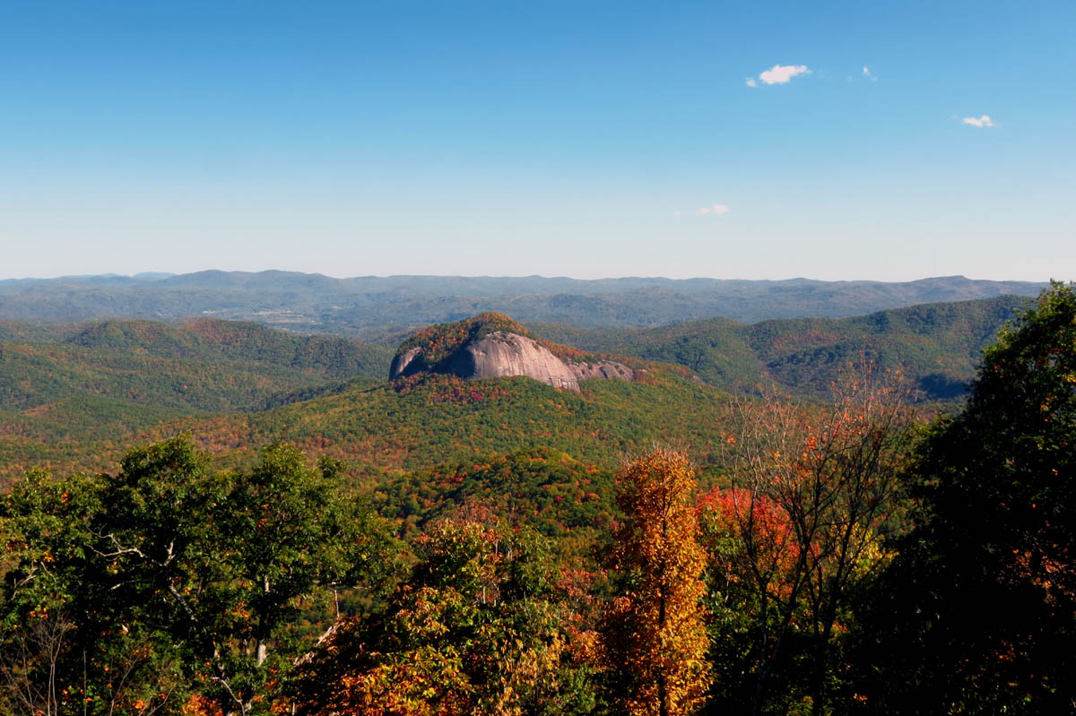
We also stopped for a quick view of Looking Glass Rock since we were driving right past it !

Looking Glass Rock

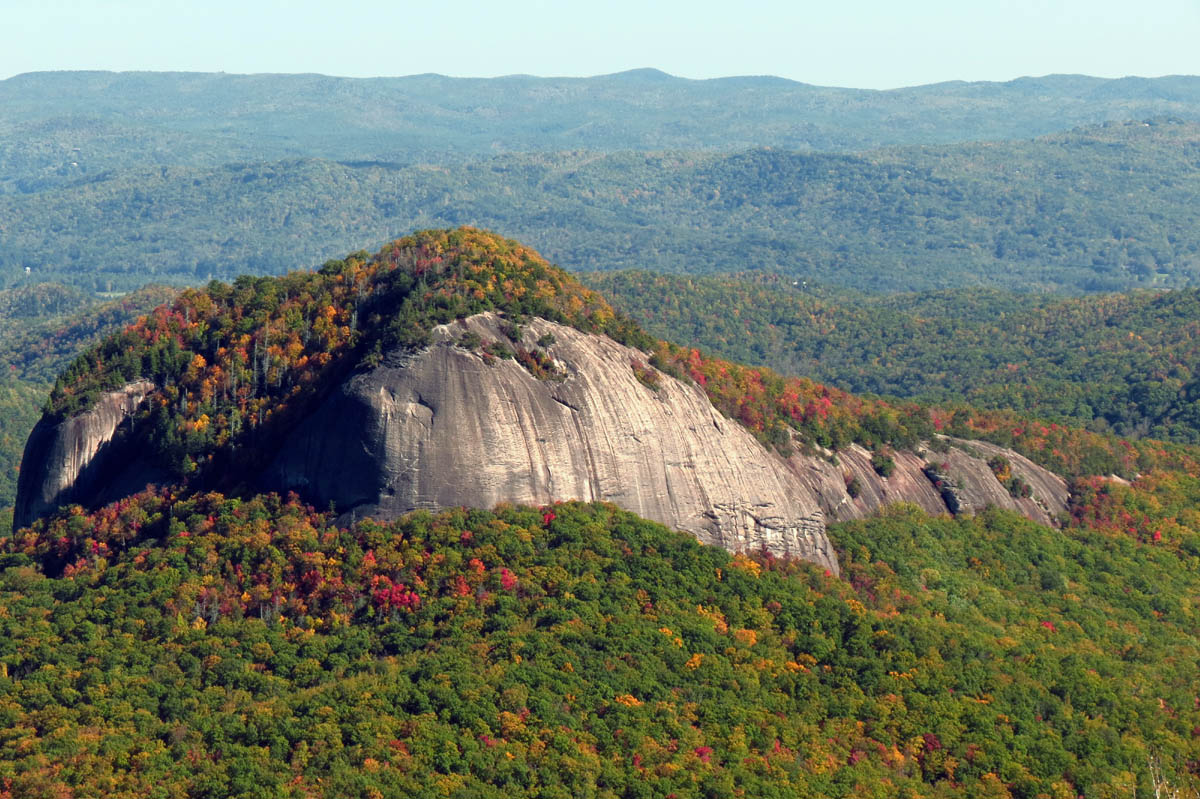
Zoomed shot of the Looking Glass rock

View of one very colorful ridge as seen from the Looking Glass Rock overlook
I actually got my larger camera out (non slr) and took a few pics of the rock before we left:

Looking Glass Rock
Looking Glass Rock

Looking Glass Rock

Looking Glass Rock

Looking Glass Rock

Looking Glass Rock
Looking Glass Rock
We stopped in Brevard (NC) at the Hawg Wild BBQ joint for the post hike grub out which was delicious as always. We even splurged for dessert of blackberry cobbler ala mode. I could not help but think of my late great friend Dave Aldridge as he and I always stopped here for a meal after every hike in this area and there were a lot of them. I miss him a lot. We watched the sun set on the long drive back and I am already thinking about the next great adventure. Until then,,,,,,

Post hike grub out meal

Post hike grub out dessert of blackberry cobbler ala mode

 My name is 'RAT' and I love the mountains and waterfalls of the East TN. area where I live and I hope you enjoy this blog about my outdoor adventures.


2 Comments to “Devil`s Courthouse and Silvermine Bald Cliffs – 10-14-2015”