


Greene Mtn. Trail & Camp Creek Falls – 3-30-2013
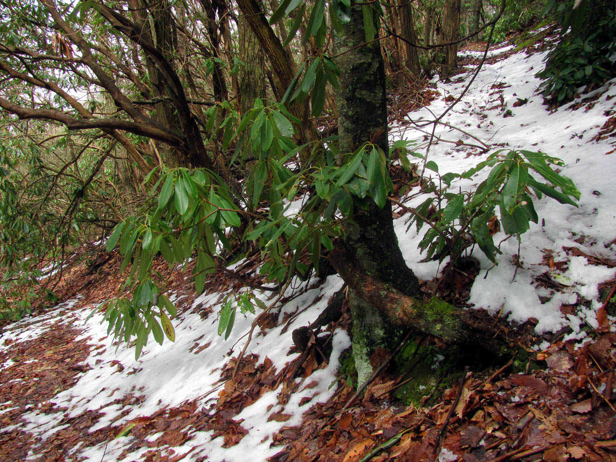
Ever since my last trip to Camp Creek Falls in Greene County, I had wanted to find the Camp Creek Trail to see if it still existed. Since it is hard to find at the bottom due to it beginning on private property, I thought maybe it would be a good idea if we could locate it from the top of Green Mountain. We had been wanting to explore that area anyway as it has been many years since we left any bootprints there. My friend Bol’Dar and I left Hairnt Quarters after 10am getting our usual late start and took the fairly long drive around to Viking Mountain Road which leads up to Viking Mountain / Jones Meadows / Camp Creek Bald where we planned to park at the gate to a forest road that is labeled as ‘Green Mountain Trail’. This is located about halfway up just before Low Gap in the sharp switchback of the road but we could not make it to this point due to the snow and ice covered road so we ended up parking and walking an extra mile to get there. That mile is mostly uphill but it was a good warmer upper for a chilly morning. From the gate it was mostly level for about two miles over to the Kennedy Cabin area. It is important to know that there is a a lot of trail and road intersections to be encountered here and many are not on any maps so, you will need a good sense of direction and some knowledge of the area to negotiate these successfully. Following the old forest road, the first major intersection you will come to is where the Bullen Hollow trail comes in from Low Gap. If you go off the main road and walk up to that intersection from the split, you will see where FR358 goes on the other side of the ridge and down towards Bullen Hollow and you will have views of Viking Mountain and Blackstack Cliffs from this point. There was a few inches of snow mostly on the shaded North slopes but it was not deep enough to make hiking difficult and actually gave some contrast to the mountain views to make things more visible.

View of Viking Mountain from the grassy fields near Kennedy Cabin area
It warmed up to the 50`s and the snow was very slushy and melting. I was happy that most of the route would be on the sunny sides where there was not much snow. As I mentioned already, at the Bullen Hollow intersection, there is another road that continues straight and then goes left and down into that side of the mountain and one must be careful not to go that way as you will need to follow the main road we came in on which turns to the left before the Bullen Hollow Trail that will lead you over to Green Mountain. There is not a lot of signs here but you will see a few old metal yellow diamonds. Continuing out this road (signed 358A ) you will go another mile through several mud holes and an exposed ridge where the pine bark beetle damage have left mostly dead trees both downed and standing until you come to yet another intersection of an old forest road that is gated and leads off to your left. I am fairly certain this just leads over to the main ridge on Green Mountain and the trail there but I advise passing that and continuing straight where you will soon find a large campsite and an intersections of trails. This is what is known as Kennedy Cabin although there is no cabin there nor any remnants of one that I could find. We took a long break here to decide our next move. The Greene Mountain Trail (will be a sign here) leads off to your left along the main ridge of Greene Mountain. The road continues to the right uphill to the first of three grassy fields. Straight ahead is a old grassy road that is now nothing but a trail that leads across the ridge and descends down off the Camp Creek side of Greene Mountain down to another intersection where you bear left and follow the narrowing side hill trail DOWN. This is the Camp Creek Trail. The trail is in surprisingly good shape as it appears it does see its share of travel.

Beginning of the Greene Mountain Trail (we were greeted by this cute little snowman)

There are several mud holes along this road

reflection shot

Making my way around the mud hole (Photo by Bol’Dar)

View of Viking Mountain (where the towers and AT is)

Frog eggs waiting to hatch out

View of Blackstack Cliffs and Viking Mountain as seen from the Bullen Hollow Trail intersection

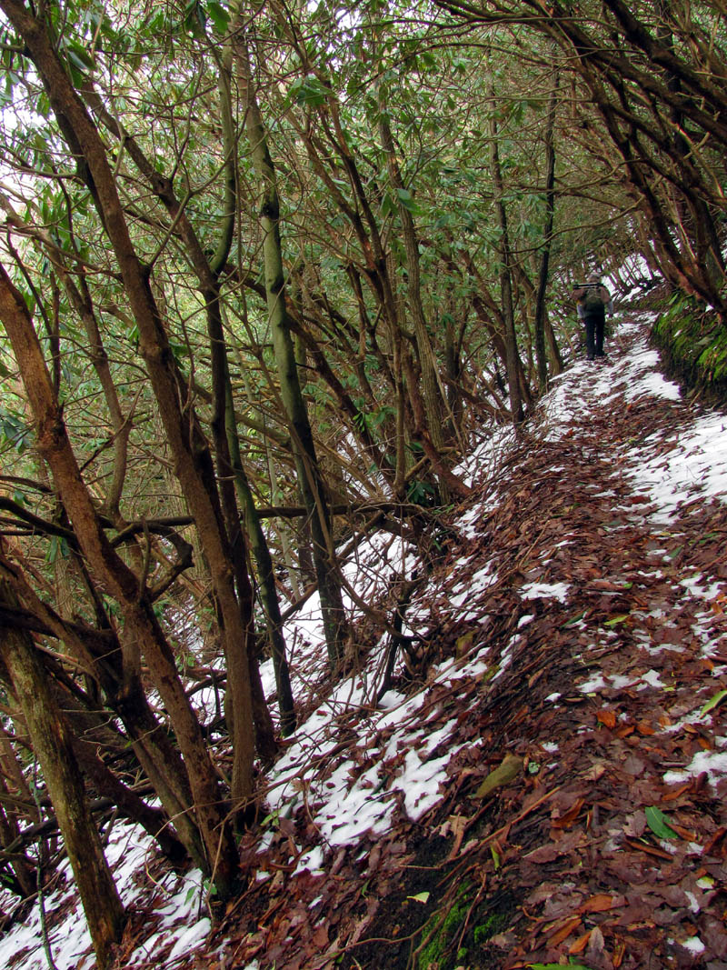
RAT hiking along the road in the snow (Photo by Bol’Dar)
Now that we knew the trail did in fact exist and since it was still early in the day, we made the decision to poke our noses down it for a ways. Of course this meant going down a very steep hill which we knew we would have to hike back up so we would have to pace ourselves and not go too far down or else the trip back would be tough. Just how far we would go down would determine just how bad this would be. The trail was really very nice and is fairly well graded with switchbacks but, it was steep. On my previous trip to the base of the Camp Creek Falls I could see glimpses of this trail both visually and on maps, and I had this gut feeling that I would be able to get a birds eye view of the falls in their entirety from an angle that I have never seen any pics from. This gut feeling would end up causing us to go over a mile down this extremely steep side of the mountain. We eventually came to a point where the trail seemed to go way out to the right in one of the larger switchbacks and then straight down into what I knew was the wrong hollow as far as the falls were concerned. At this point there was a pig trail leading off to the left in the direction I knew the falls would be, and having just passed by the head water of the North Fork of Camp Creek at the last switchback, we chose to take this piece of a trail in hopes it would be a shortcut back to the same trail and save us the time of continuing on the good trail way out and back, or at least put us on the right ridge where we could hopefully see the falls. Of course this would turn out to be correct however, the downside would be that the trail quickly fizzled out and ended up in one of the worst meat-grinders I have been on in a long time.

Looking back up the Camp Creek Trail knowing we would have to climb this to get back
Standing in a switchback along the Camp Creek Trail

Found this little side trail leading in the right direction so we took it to save some time (looks like a shortcut to me)

Not the first time a shortcut trail led to oblivion

Yeah, it got worse, but it got us to where we needed to be
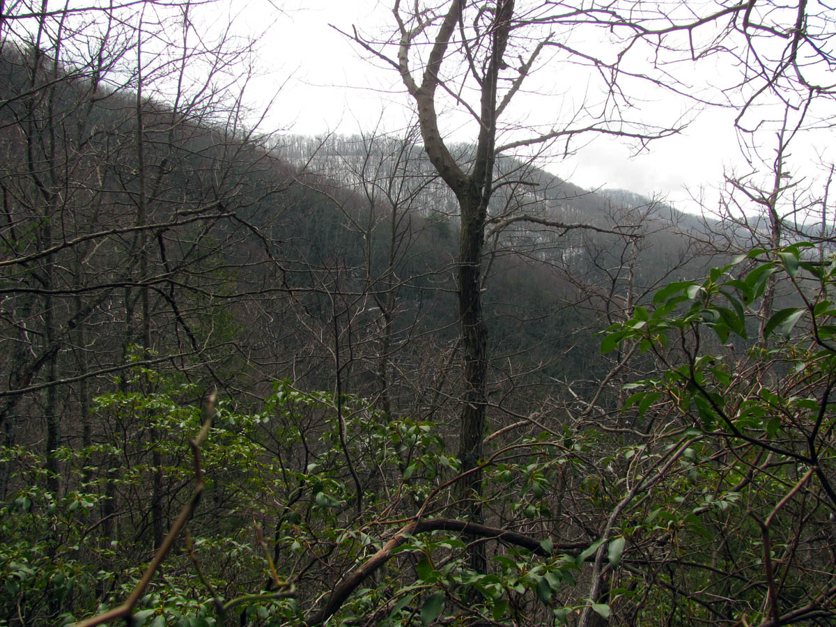
Looking over at Greene Mountain from the meatgrinder ridge. The falls are over there somewhere, I can hear them !

There they are !!! (Camp Creek Falls)
We could soon hear the falls and right afterwards we got our first glimpse of them. I would end up a bloody mess before we reached our destination but at the time I did not care although I did get a nosebleed caused by a briar that stuck me inside my nose ! Once we found the falls it became apparent that there was not any clear views of them. This meant bushwhacking our way through more of this dense growth of briars and downed pine trees until we finally got a small break in the trees where I did some work clearing out some stuff in order to get a view of what would turn out to be the top 150 feet of the 200 foot tall falls. I only wish we would have had more time and energy to take the Camp Creek Trail further down which I am positive would end up in the perfect spot on the ridge where one would have a clear view of the falls in their entirety but there was no way we could do that on this trip so we would save that for a later time and come in from the bottom to do so. For now we were happy that we could at least see the falls. We could hear huge pieces of ice falling off of them while we sat there on that ridge taking pics.

Bol’Dar looking at the Camp Creek Falls from our perch on the overgrown ridge (it took some work to get this small view)

After much work we managed to get a small view of the upper part of the Camp Creek Falls (these falls are 200 ft high and you are seeing maybe 3/4 of them)

Camp Creek Falls

Camp Creek Falls

Camp Creek Falls

Camp Creek Falls

Camp Creek Falls
I setup my new camera and got what shots I could. The filter helps some but the falls were still a long way off and the light and snow was very bright plus we did not have much of a view of the falls but,,,,

Camp Creek Falls

Camp Creek Falls

Camp Creek Falls

Camp Creek Falls

Camp Creek Falls

Camp Creek Falls

Camp Creek Falls

Camp Creek Falls (zoomed – keep in mind this is at least 100 feet of the falls height as they are 200 feet high)

Camp Creek Falls

Bol’Dar and RAT with Camp Creek Falls in background

Looking down at Camp Creek from our perch on the overgrown ridge

Looking down at Camp Creek from our precarious position on the ridge (the large white building is Vanguard Co. near where the route to the falls from the bottom is located)
After while it became apparent that we would have to leave and begin the long, steep climb back up the mountain the way we had came down. I was not looking forward to it, but I certainly did not want to do it in the dark, so we packed up and made our way back through the ocean of briars, scrub growth and downed pine trees to get back to the little shortcut trail we had found. It was short but definitely not sweet as that was some really overgrown and rough terrain. I was very happy to be back on an unobstructed trail. It was a long mile back up to the top but it was not as bad as I had expected. We took a short break at a small falls just below where the North Fork of Camp Creek starts (the falls are on the South Fork) before continuing our climb. Once we reached the top we took another long break at the Kennedy Cabin campsite before we decided to explore the fields. The fields were nice but the trees along the edge obscured any good views but it was still a nice place to hang out.

Bol’Dar looking for the path of least resistance (hint: there is none)
Climbing back up the steep Camp Creek Trail

Small falls where the North Fork of Camp Creek begins

A conglomerate rock

Checking out the fields near the Kennedy Cabin area

Checking out the fields near Kennedy Cabin area

Gnarley trees growing around the fields near the Kennedy Cabin area

RAT taking pics in the fields near Kennedy Cabin area (Photo by Bol’Dar)
After we left the fields it was much easier walking on the old road all the way back to the gate where we had started that morning on the Viking Mountain Road. We still had to walk the extra mile back down the road to get to the car and all the snow that had prevented us from getting any higher on the mountain was gone by this time. It had been a great day of hiking and I can`t wait to explore more of the Camp Creek Trail and falls, next time it will be from the bottom !

View from Greene Mtn. of the road we would use to get back on with Viking Mtn. in the background. (yes, we have to walk all the way back over there !)

I walk a lonely road The only one that I have ever known,,,,

Cool twisty tree

Old rusty metal trail marker

Once back to the Viking Mtn. Road, we still had another mile to walk back to the car (yes it is WAY down there !)

Where the rubber meets Viking Mtn. Road (whole new meaning to ‘making tracks’)
To see the complete set of pictures of the Camp Creeks Falls which includes those taken from the base of the falls, please visit our Photo Gallery here.

 My name is 'RAT' and I love the mountains and waterfalls of the East TN. area where I live and I hope you enjoy this blog about my outdoor adventures.


One Comment to “Greene Mtn. Trail & Camp Creek Falls – 3-30-2013”