


RAT`s Annual Birthday Hike Sept. 2012
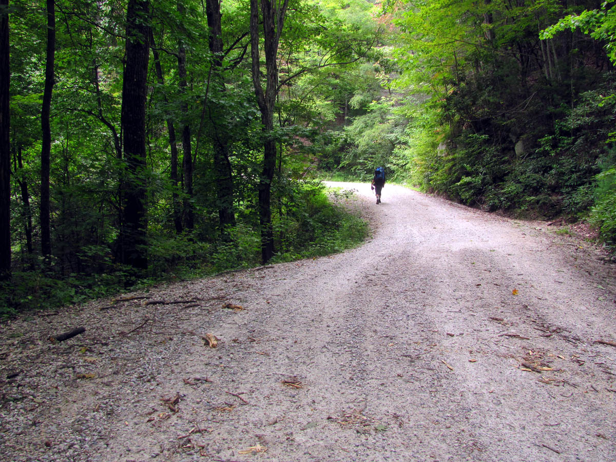
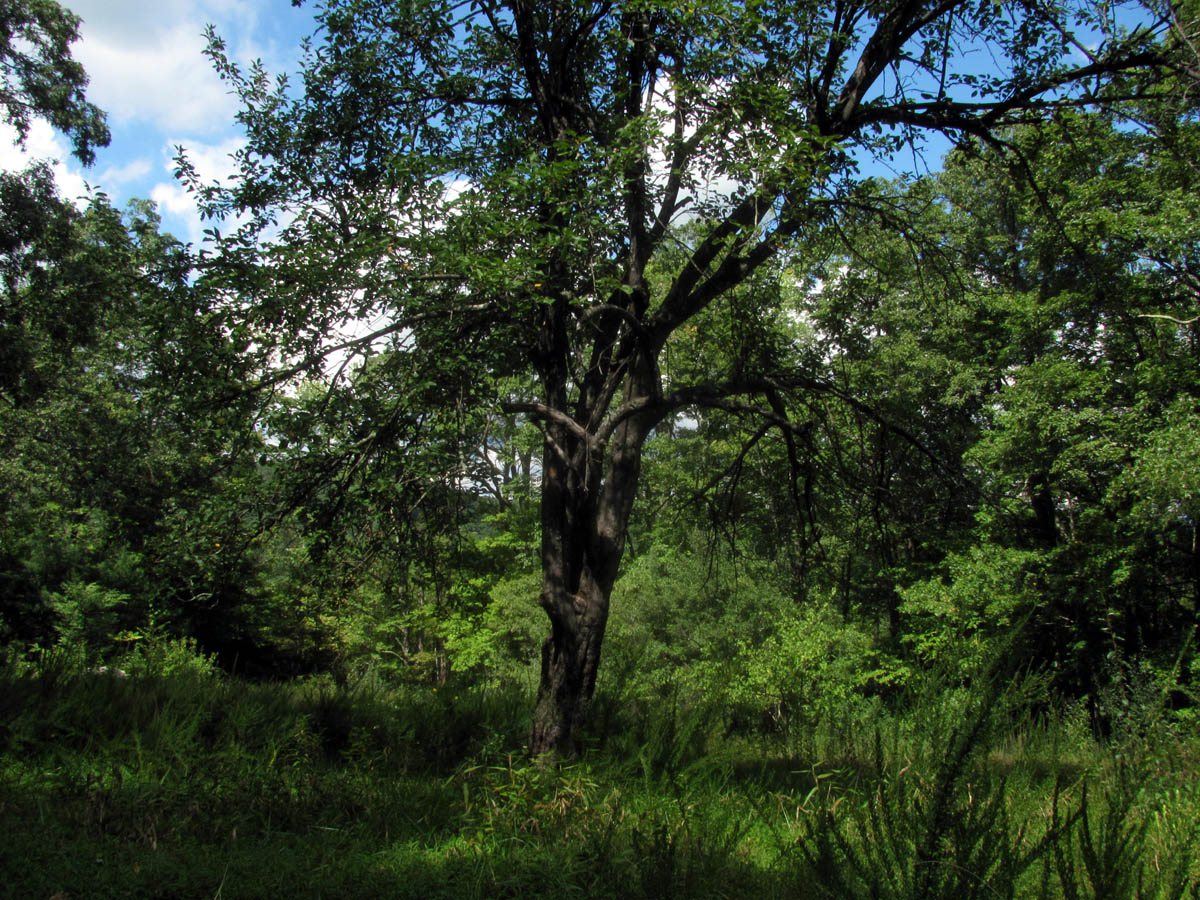
This years adventure found us hiking along 25+ miles of the Mountains To Sea Trail high in the mountains of North Carolina. Starting on the day after my birthday, September 9, we began our journey by driving to the Upper Creek area on NC highway 181 that leads between Pineola and Morganton. My plan was to start at Beacon Heights on the Blue Ridge Parkway and come out some 25 trail miles later on highway 181 but, the dilemma was that I felt it was not the best idea to leave a car parked along the side of the road for 5 days or so. To combat this issue, I contacted Kate Dixon who is the executive director of the Friends of the Mountains to Sea Trail foundation and she replied back to me almost immediately with some people to contact that could help me out. This would be Doug Veazey who put me in touch with Bob Benner, both of which are longtime trail maintainers who were able to help us out tremendously. They were happy to help us as fellow trail maintainers for the Carolina Mountain Club and Bob found us a great location to park my car behind a gate in a gated community located near to where we would be coming out at, and also volunteered to meet us there and give us a ride to Beacon Heights to start our hike. I can`t say enough about all these wonderful folks who went out of their way to help us. Since Bob is more or less the trail boss over this entire section of trail and then some, and since it was such a beautiful hike the entire way, we made many daily references to the old ‘Blues Brothers’ movie by saying many times: “Beautiful place ya got here Bob ! “.
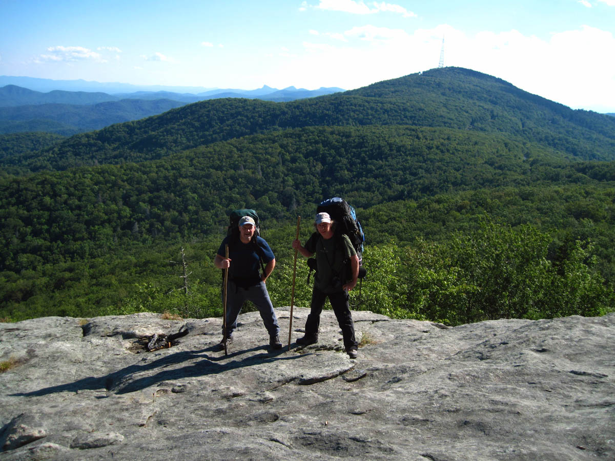
RAT and Bol’Dar at Beacon Heights
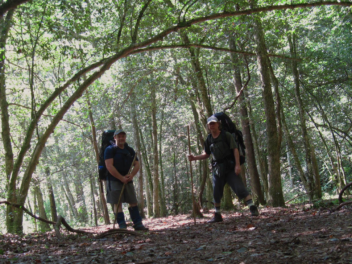
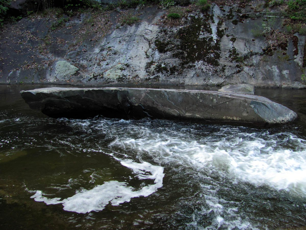
Bol’Dar and I got to the meeting place a little early so we drove down to the trail head where we would be coming out at and figured out that there would be a 2.5 mile road walk to get back to the car at the end of the journey. This was not going to be pleasant but was unavoidable due to us not knowing exactly what day we would be getting there and not having much of a cell phone signal at that spot making it kinda hard to have someone else pick us up but this did not hinder us from doing the trip. Bob showed up right on time and after getting through the locked gate and parking the car, he drove us over the short distance (by road) to the starting point. For some reason I thought the overall mileage was not long enough and assumed we could get some extra visuals by hiking some along the parkway so, I had Bob drop us about a mile past Beacon Heights at the Stack Rock Overlook. This would turn out to be a mistake as the trail from there to Beacon Heights (the Tanawha Trail) was a rugged trail that was a bit overgrown in places as it followed just below the parkway and there were no visuals at all !
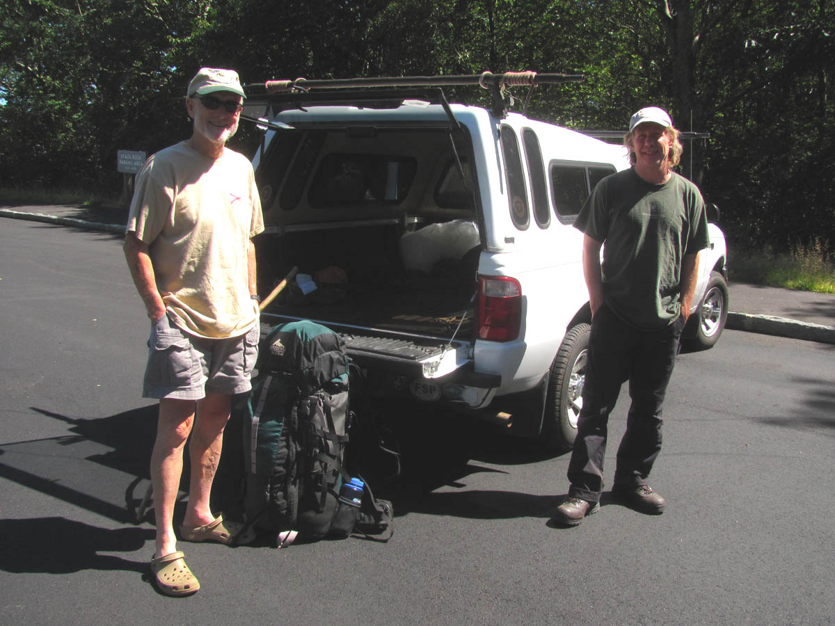
Bob Benner and Bol’Dar beside RAT`s pack at the starting point (Stack Rock Overlook)
There would be a silver lining in that dark cloud as the extra time that took delayed us just enough from reaching the look off rocks at Beacon Heights in time to meet some nice college kids (Appalachian State) at the rocks who turned out to be really cool. We hung out with them for awhile since we had not planned on going far on the first day anyway, so we proceeded to make ‘hairnters’ out of them which was not hard to do as it seemed they were ‘natural born hairnters’ and were hairnting like professionals in no time. And because it was my birthday, they shared their ‘ M & M`s’ with us which was an unexpected treat ! (inside joke/meaning and is not the candy !).
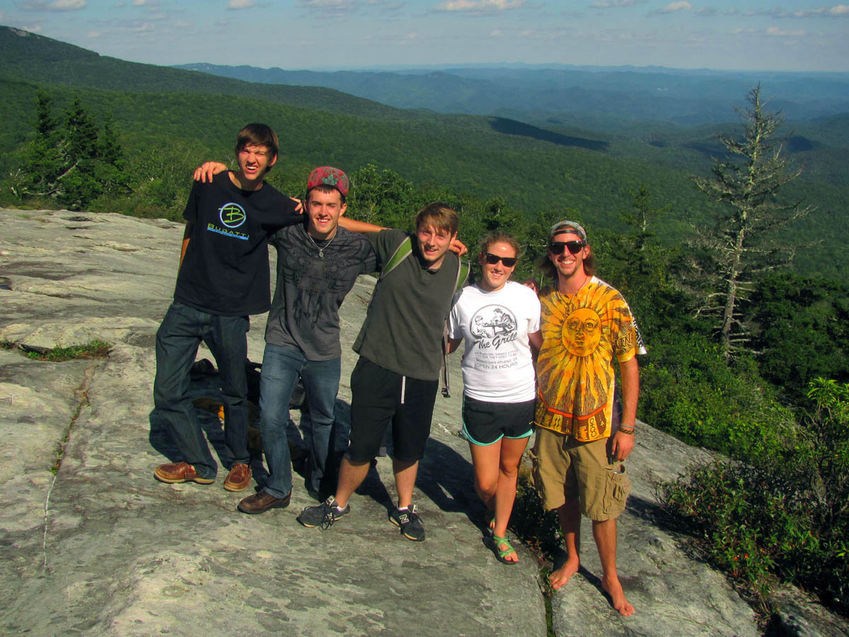
COOL College kids we met at Beacon Heights
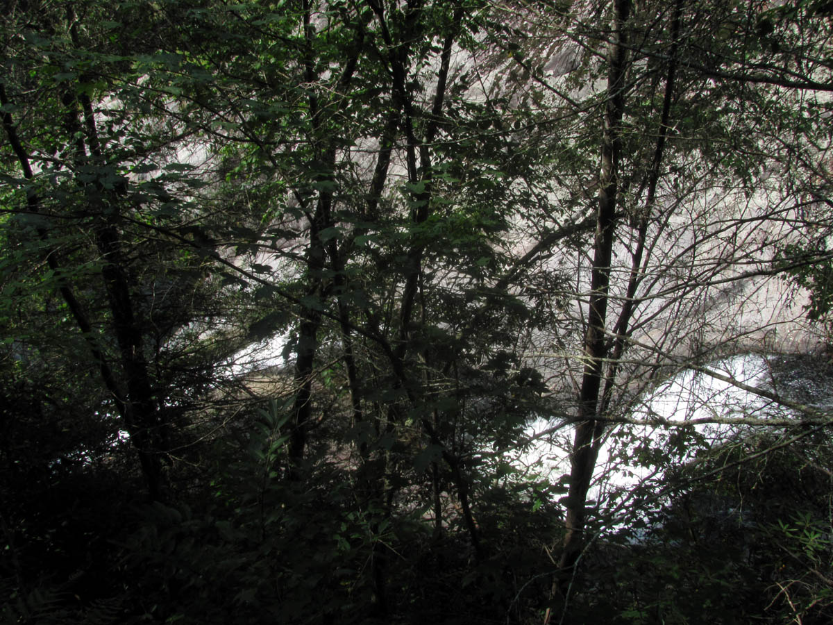
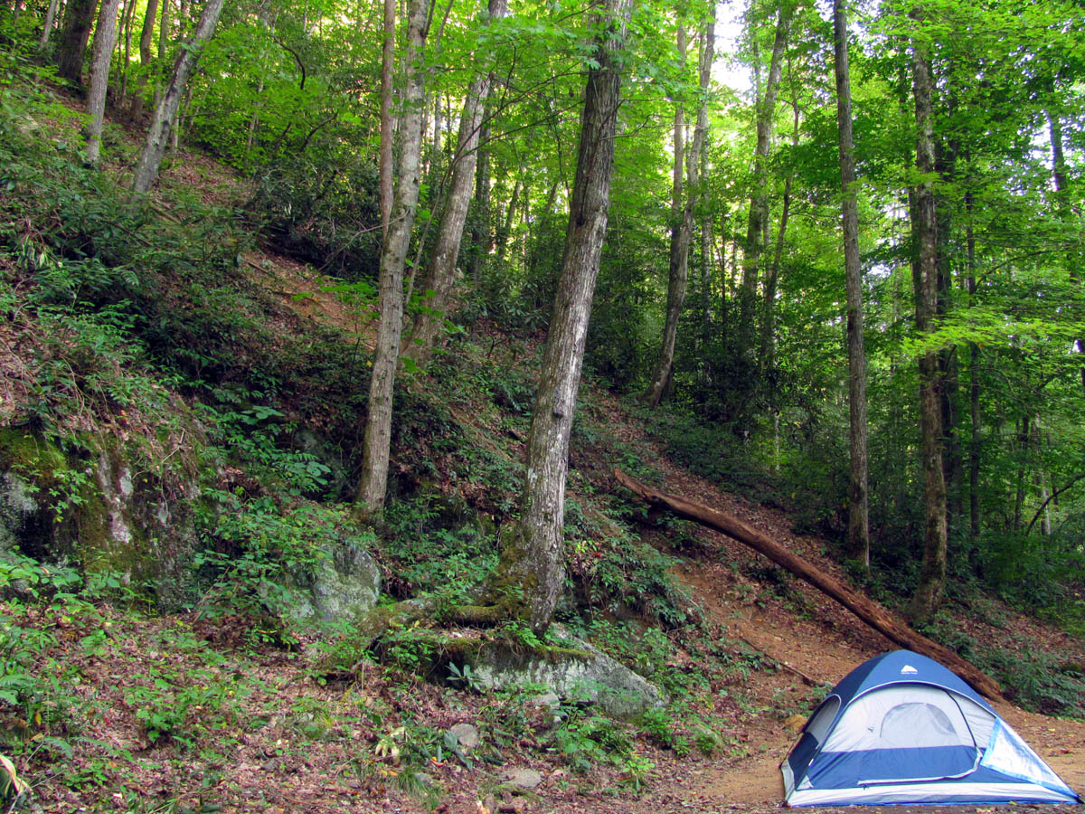
Eventually it became late afternoon so we had to leave and get on down the trail in order to get out of the Parkway zone as camping is not allowed anywhere near it so, we needed to hike another couple miles to find a place to camp for the first night. We said our hairnt-byes and could hear them all hairnting loudly as we descended down the trail. After a couple miles we came to a small water source (feeder for Andrews Creek) located near an overhanging rock with a small level place above the trail. There was a large bed of fallen leaves under it which looked like a posture-pedic mattress to me so, that was going to be our home for the night. After putting my Thermarest on top of the leaves it was almost like being on my mattress at home so I was “ooooohing and ahhhhhing” when it came time to bed down for the night and Bol’Dar commented that it sounded like I was actually on a posture-pedic mattress and wished he had chosen that spot but he was a bit concerned about being directly under a large tree that was growing right off the rock high above it ! There was a small bird nest right on the ground beside the rock where I camped that I concluded was probably not the best location for the bird. It was dark by the time we had supper finished but the fire show from Bol’Dar`s alcohol stove was impressive and with a full belly and a snort of Wild Turkey American Honey, we both slept like the rock we were camped under.
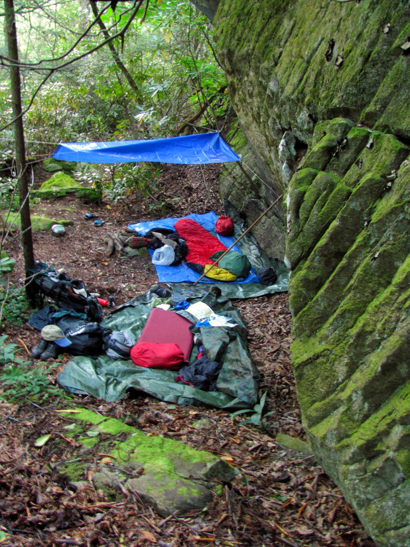
Campsite under a huge rock overhang on the first night
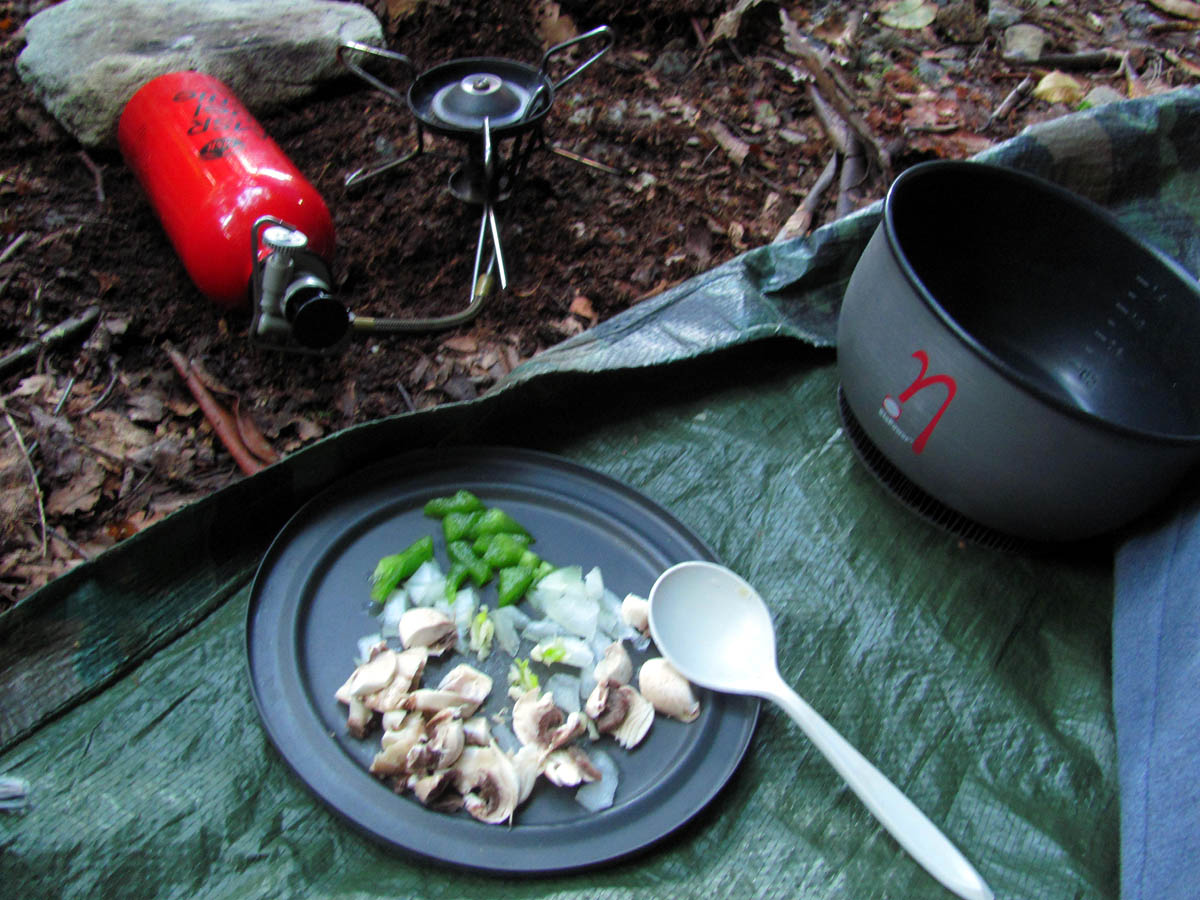
Chopped up onions, pepper, mushrooms and garlic to add to my supper

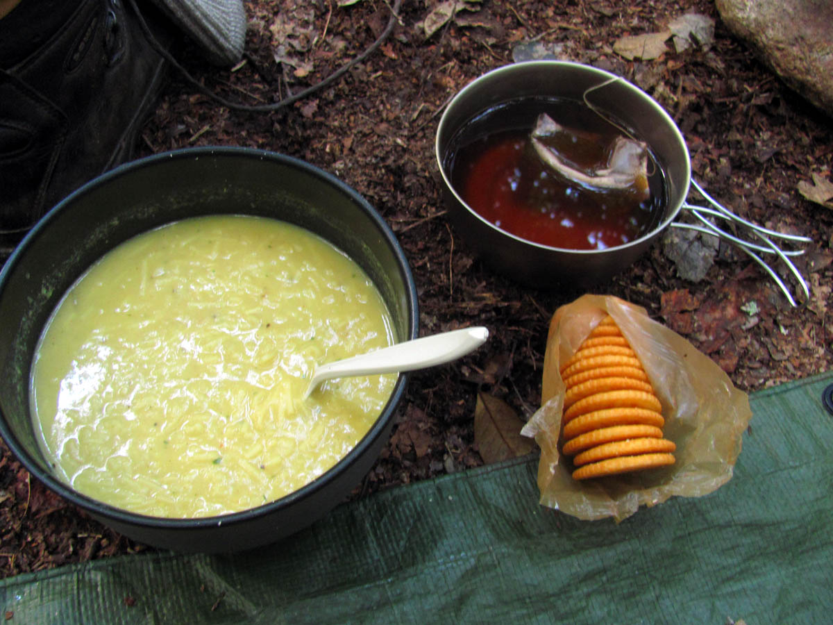
RAT`s supper on the first night
Not being known for early starts, we both slept in the next morning but managed to have breakfast done and camp broke by nearly noon before we continued the adventure on the second day. It seemed that the first day had already caused me some foot issues with my boots as I had a sore spot on my little toe and a blister had developed which felt like I was being hit by a hammer with every step so I put some cold sore ointment on it and borrowed a band-aid from Bol’Dar which helped a lot. This part of the trail would take us down from the high country to the valley below past Old House Gap to the Gragg Prong Creek located along the Roseborough Road just below that community. Bob had informed us that he and his trail crew would be doing some trail clearing just above Old House Gap that morning and sure enough we soon heard some Stihl weed eaters humming off in the distance. Bob was not kidding and was serious when he said they would be clearing trail as they had metal saw blades on two large machines that were cutting small trees and brush like it was nothing ! They were making an interstate along the old road trail that had grown up in recent years. He even had two crew members raking up the mess behind them ! Hat`s off to these guys, cause they really know how it`s done, but of course Bob did not get to his age by doing things wrong !
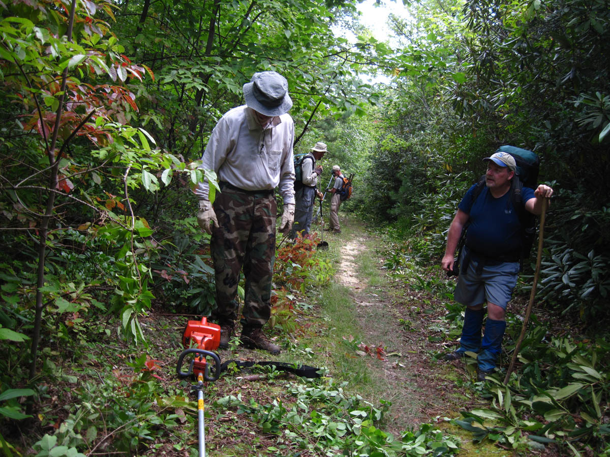
Bob and his crew doing major trail clearing. This reminded me of the many years we spent helping the legendary trail maintainer, Sam Waddle
After a short break visiting with them there, we continued on towards the gap where we had planned to have lunch. Bob told us about an old Civil War graveyard that could be found about a half mile off the trail after the gap but was uncertain of the exact way to tell us to go but this peaked our interest highly. The best things to see are always off trail and known only by the locals.
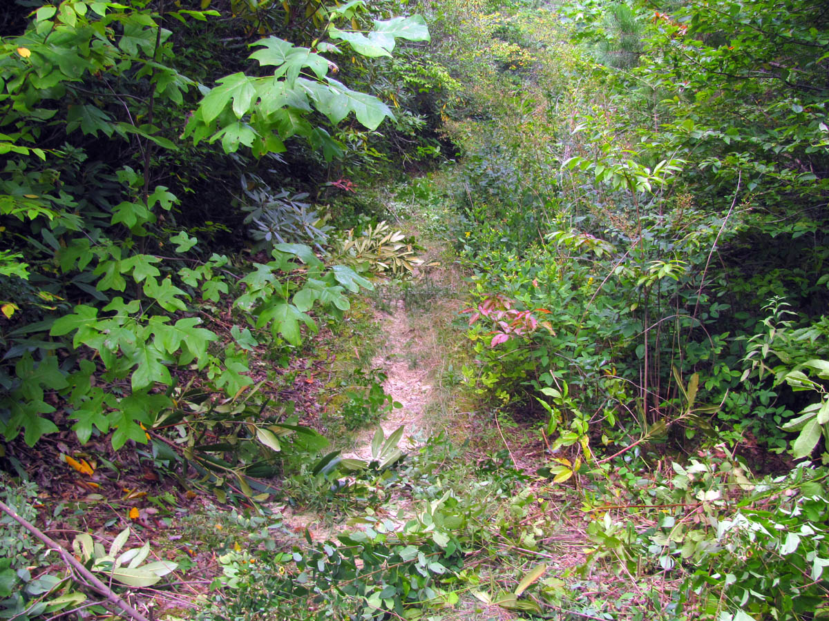
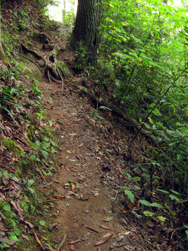
Trail before Bob and his crew
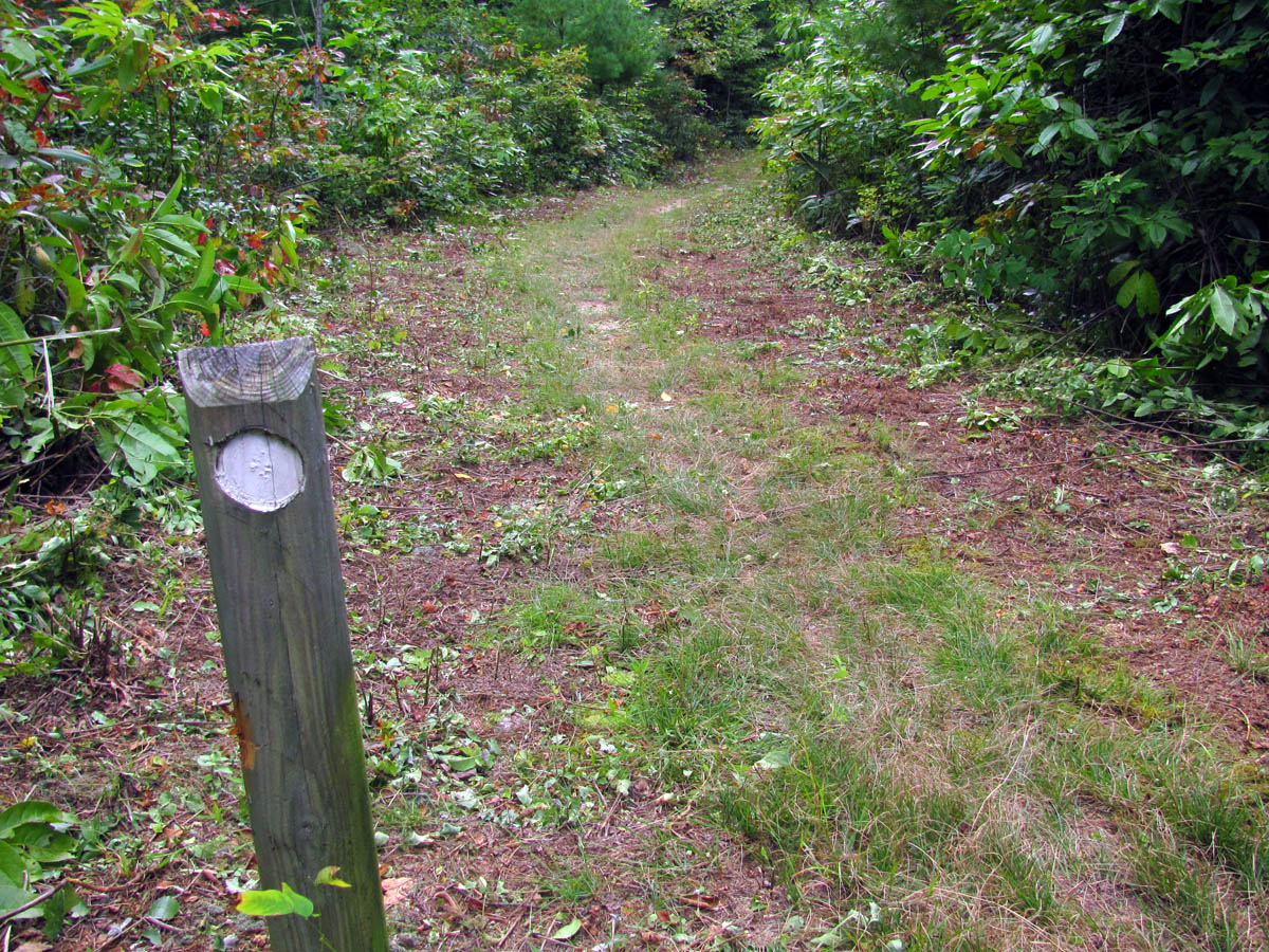
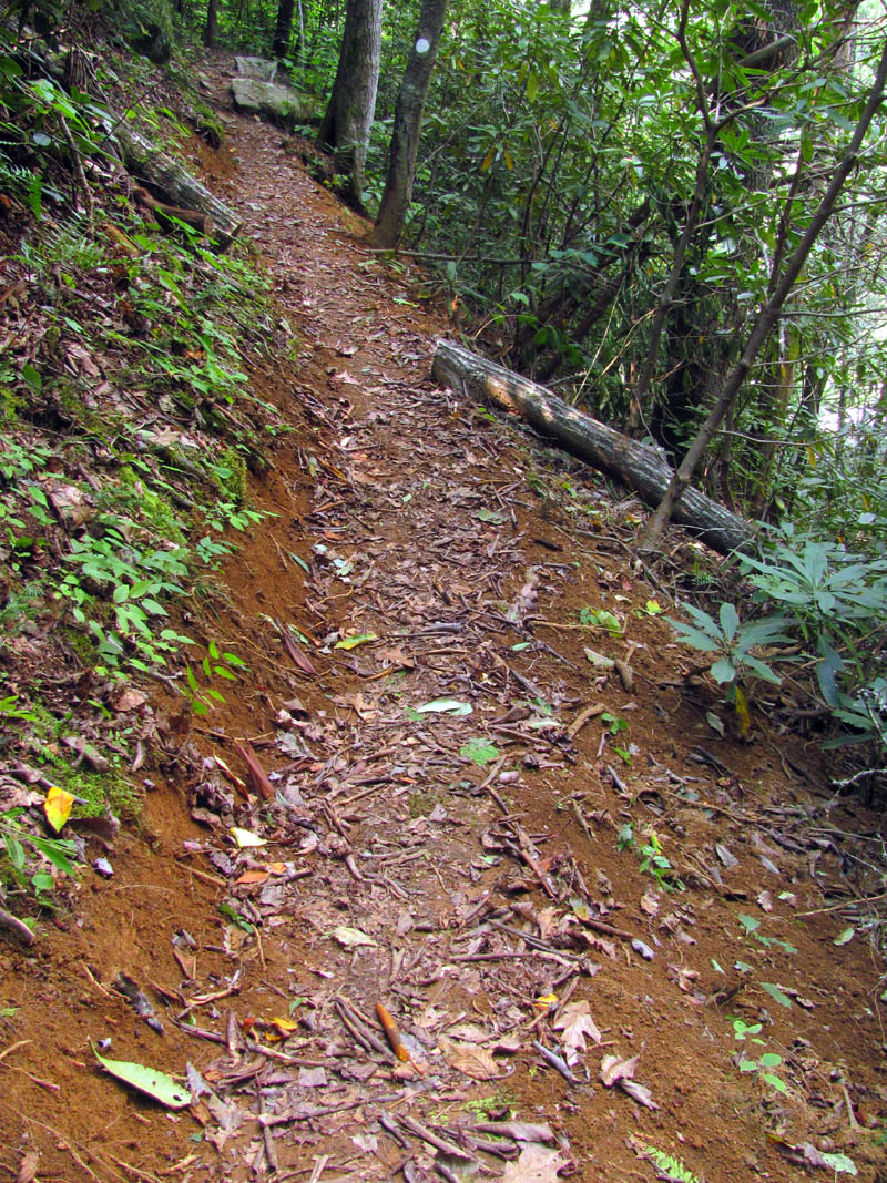
Trail after Bob and his crew
Reaching Old House Gap in a short amount of time hiking along the smooth, well graded and now cleared forest road, we stopped for lunch and to our surprise we met a forest ranger who was out sowing clover seeds in the many deer browse fields in the area and he was able to tell us exactly how to get to the graveyard as he was going that way next and we could simply follow his four-wheeler tracks ! This was definitely our lucky day so after lunch we were able to find the location without issue. It was behind a locked gate with a sign that had some HUGE bullet holes. So large in fact, that I had to take some pics of it !
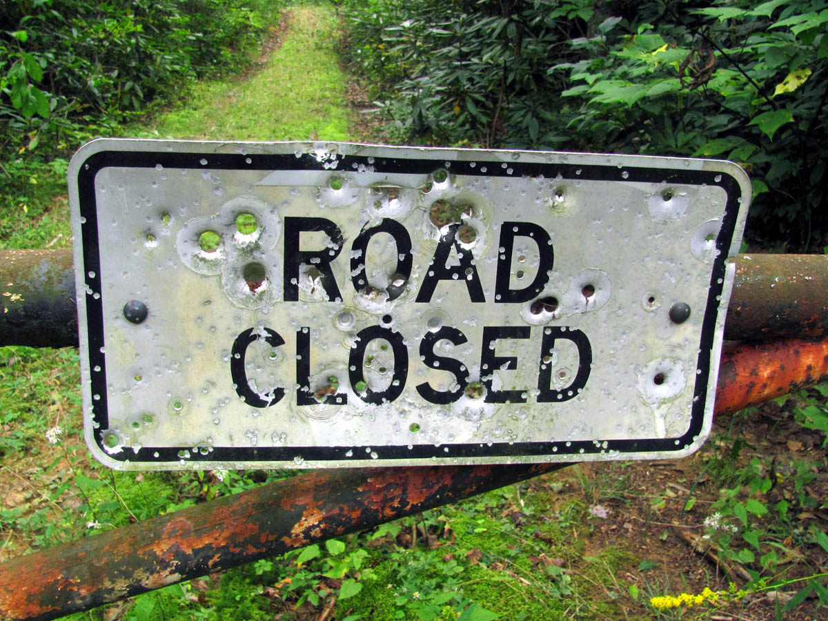
Gated trail to the graveyard
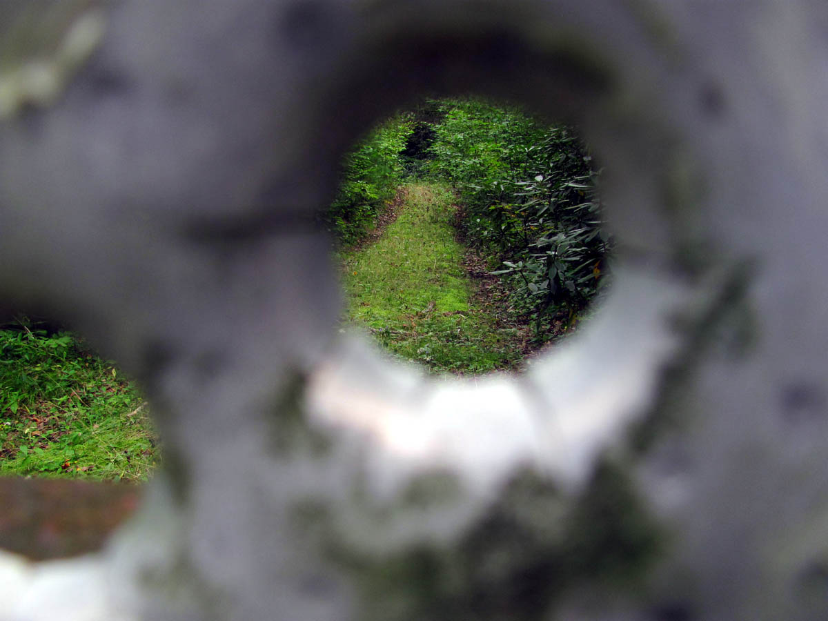
Picture of the trail behind the gate through one of the large bullet holes
It was an extra mile that day but was well worth it as the graveyard was very large and had some very old graves, many of which were only stones but several had tombstones and there were actual Civil War graves there which we felt privileged to see. It was locked up but we were able to squeeze through the gate and since the ranger seemed to be ok with us seeing it and since we did have the utmost of respect for the dead, we did spend some time there checking out the graves. Since this was below the Gragg community and above the Gragg Creek, there were several graves of that name so I must assume this was a family plot for those and those married in to the family and others of the community.There were many babies and young children buried there as that is common for that time period. It was an interesting pleasure to get to see this place but graveyards have a way of making one feel uneasy so we wasted no time in getting back to the trail to continue on our way.

Old Civil War era graveyard (private)
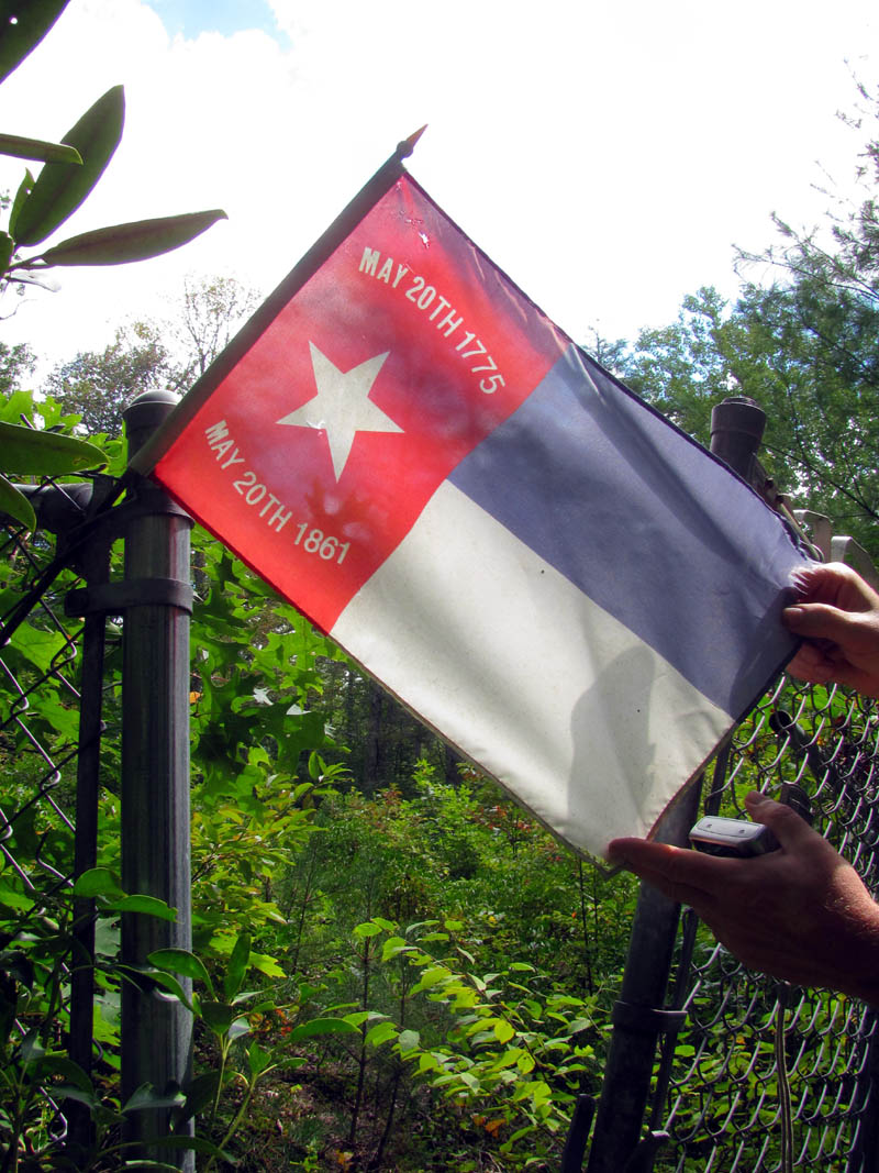
Civil War flag flying proudly at the gated entrance
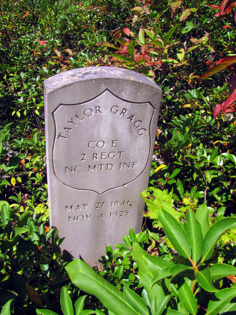
One of the actual Civil War headstones
many of the grave markers were just rocks. This was one of the more unique ones.
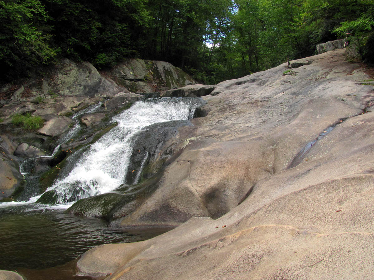
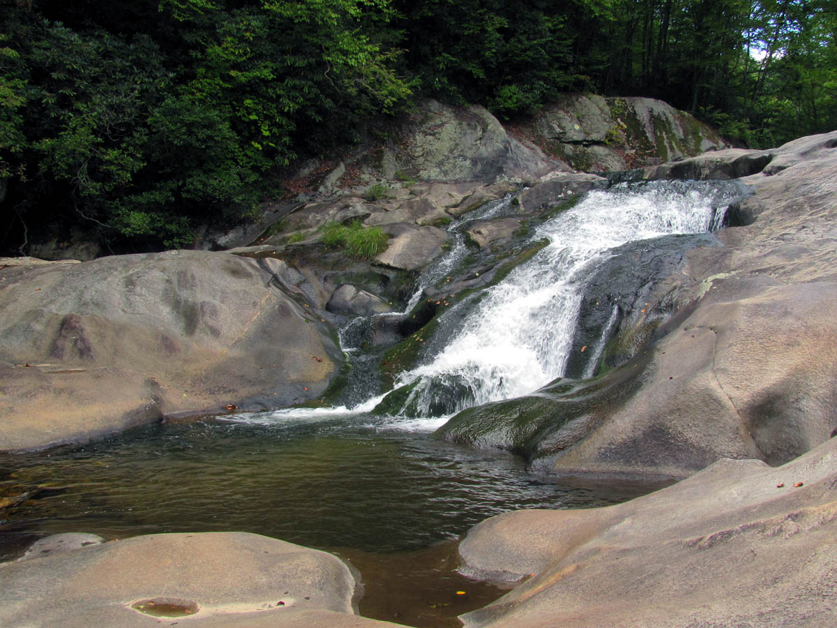
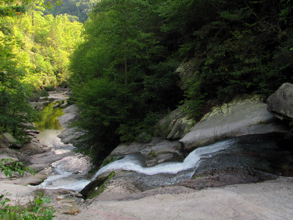
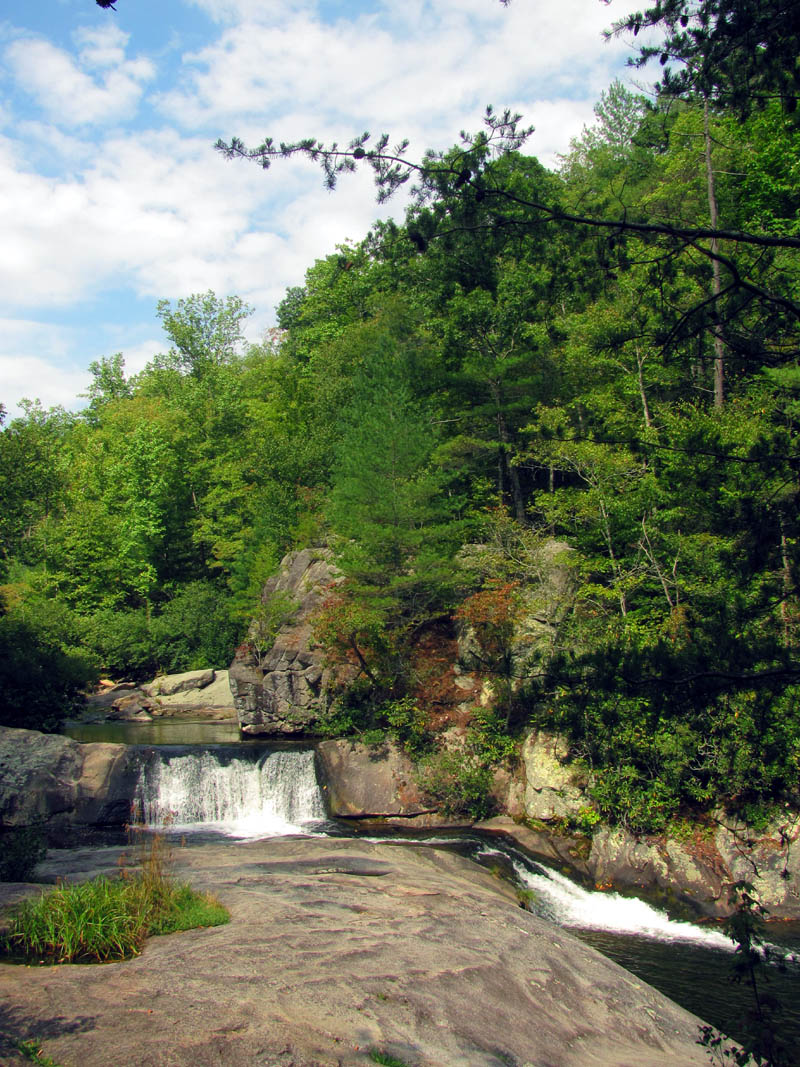
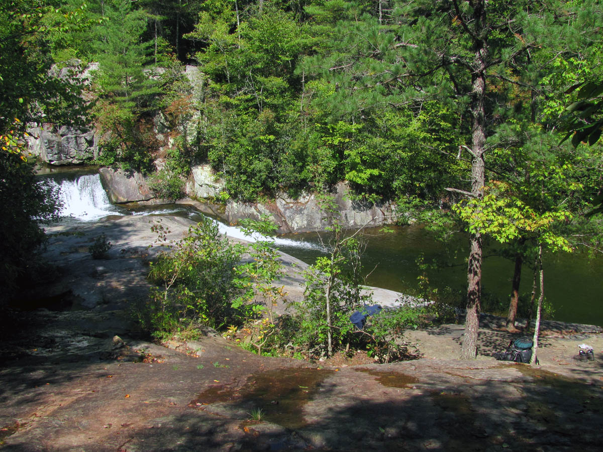
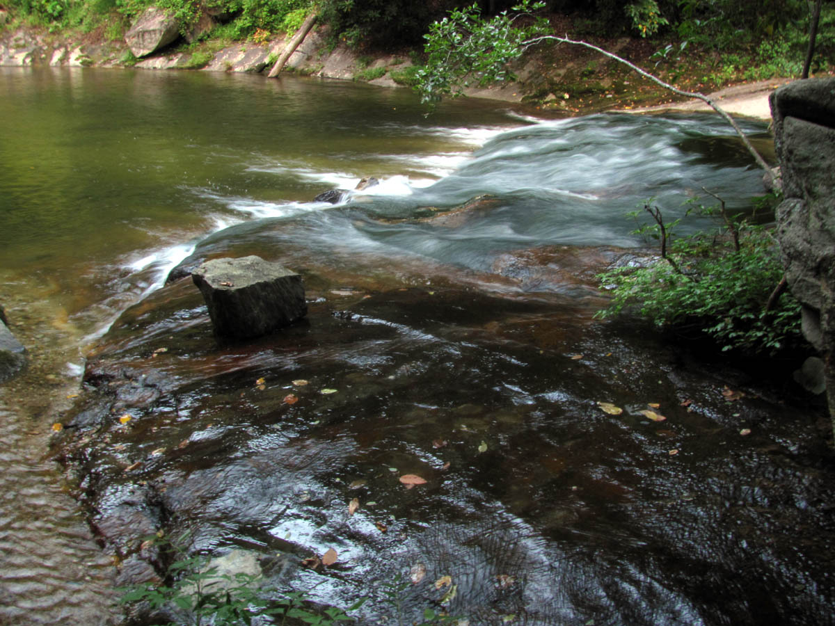
It was about a four mile hike on old forest roads to reach the Roseborough road and Gragg Prong Creek but it was very easy and pleasant. (“Beautiful place ya got here Bob !”) We took a break at a nice shady spot beside a small cascade along the Gragg Prong Creek before continuing on the old forest road to the main road.
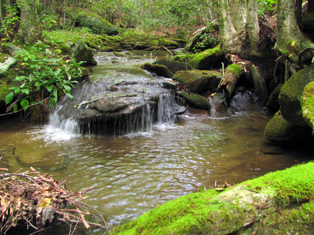
Cascade along Gragg Prong
Cascade along Gragg Prong
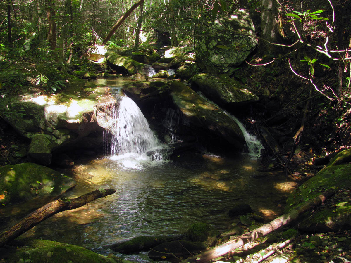
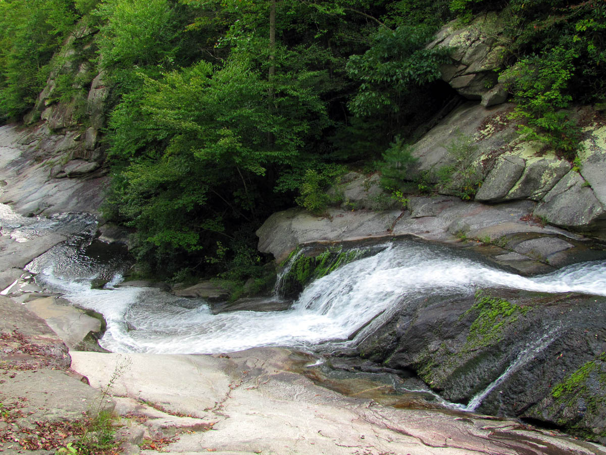
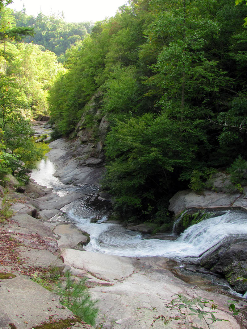
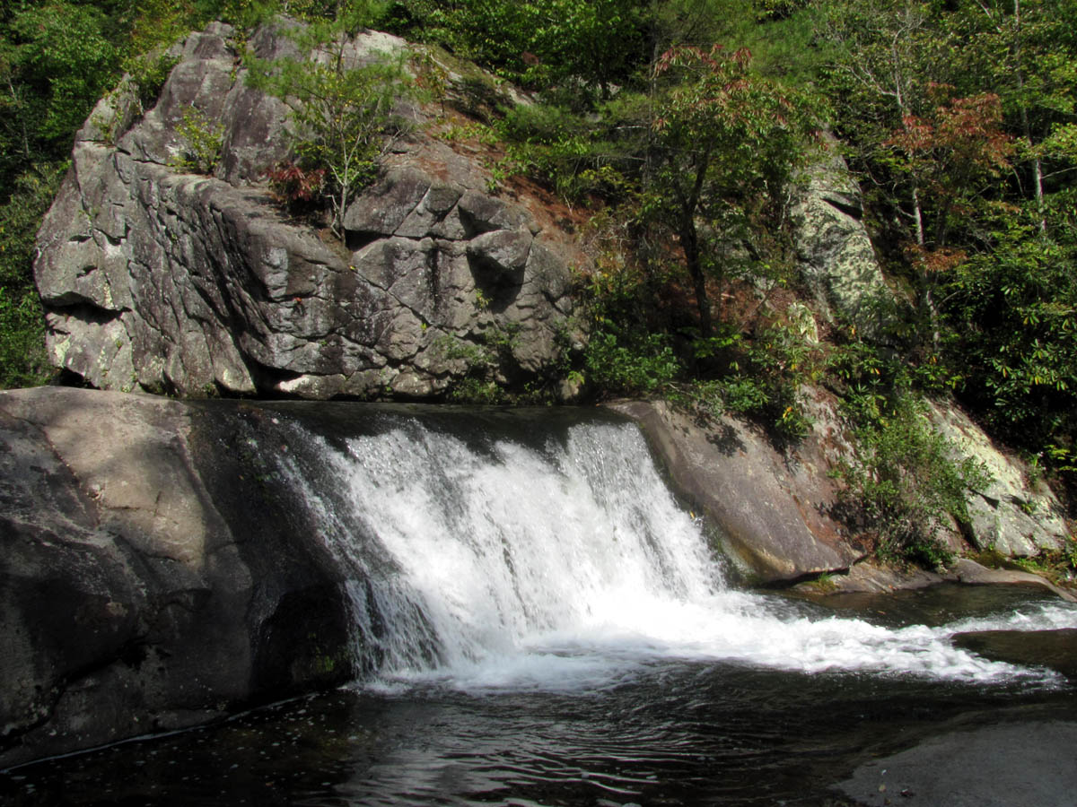
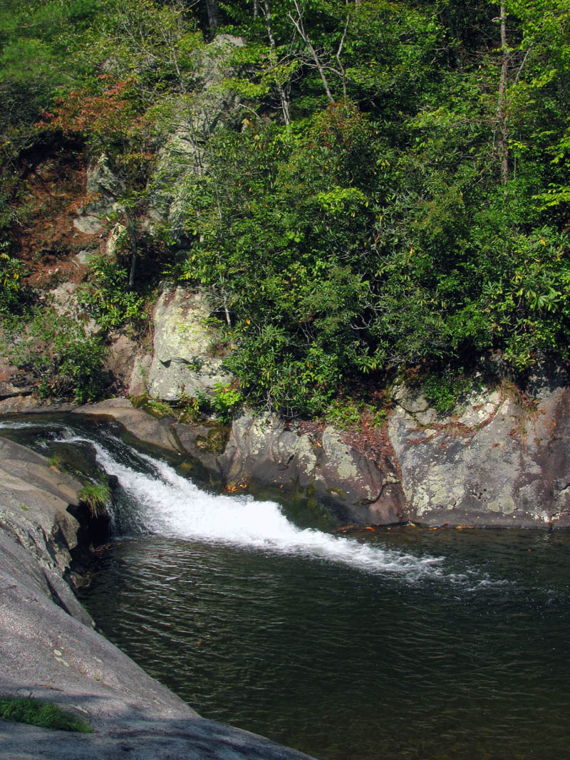
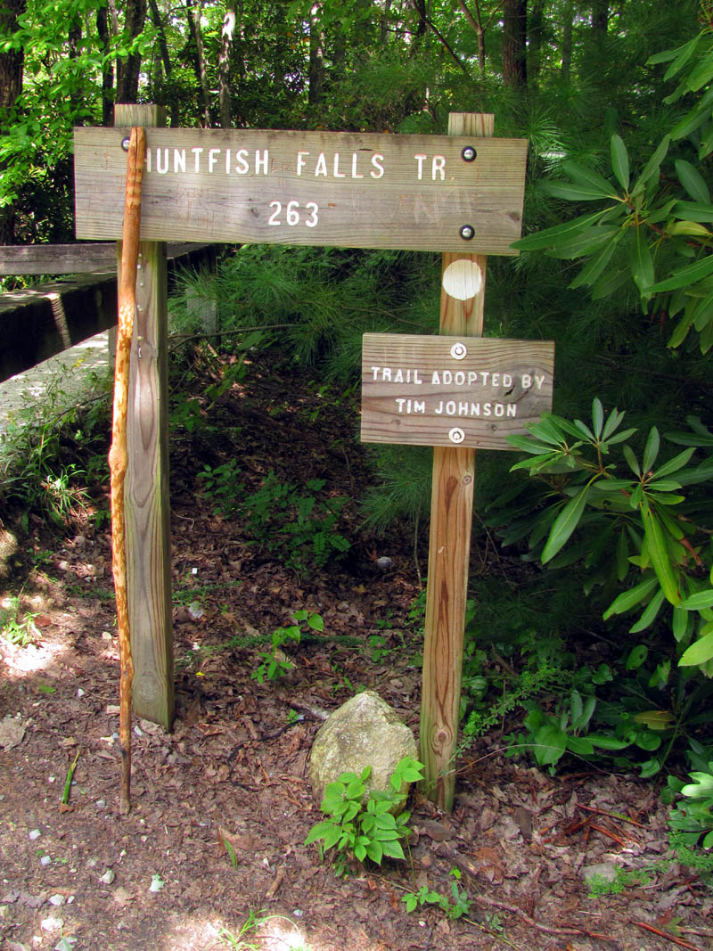
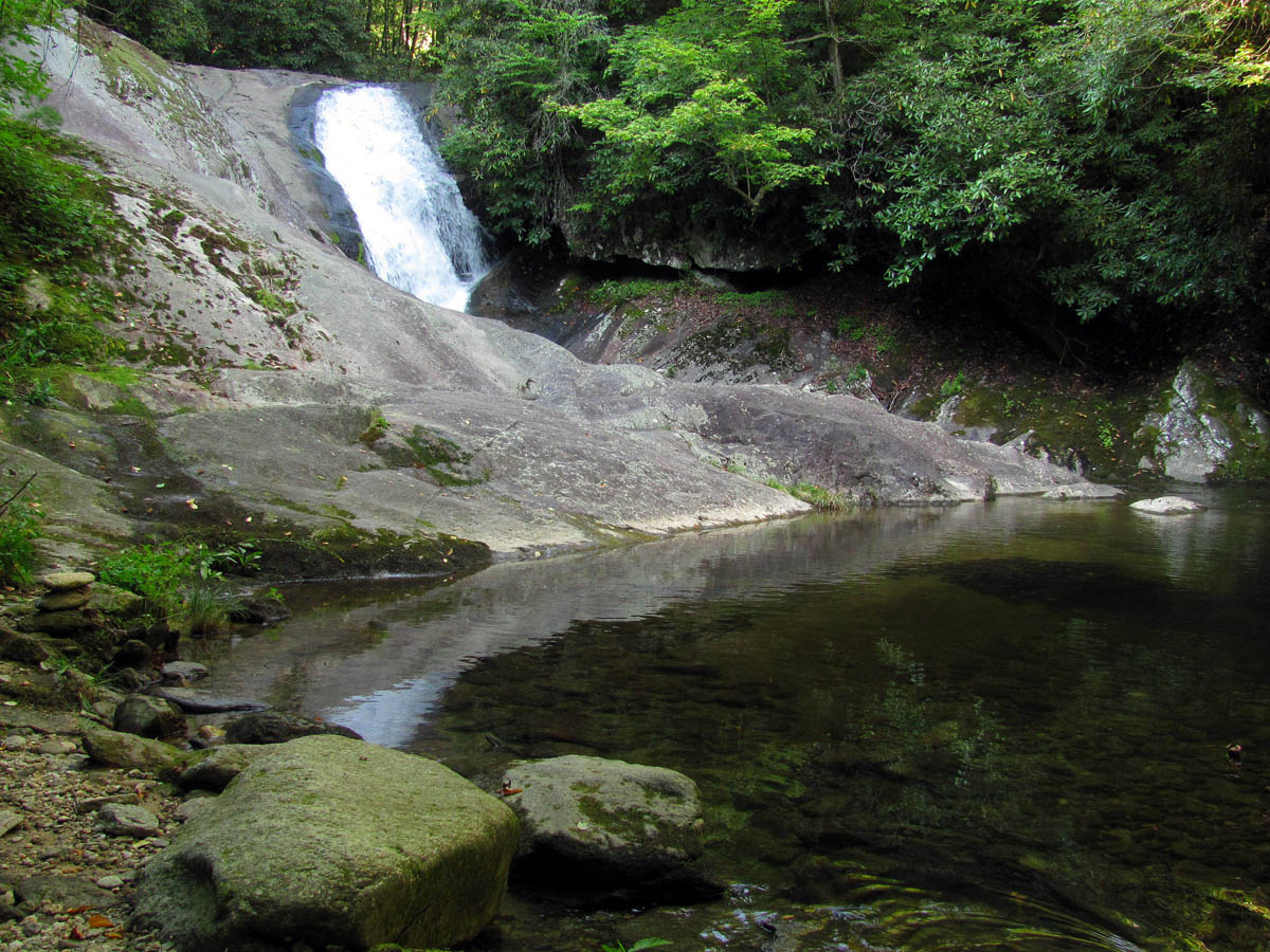
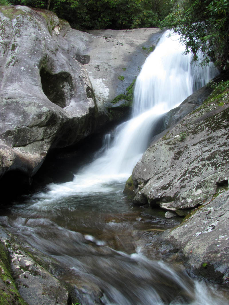
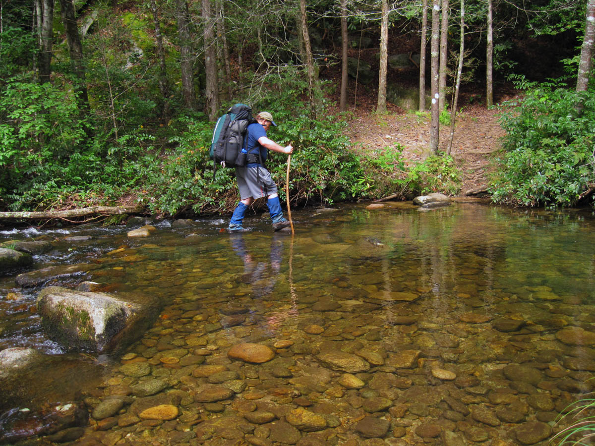
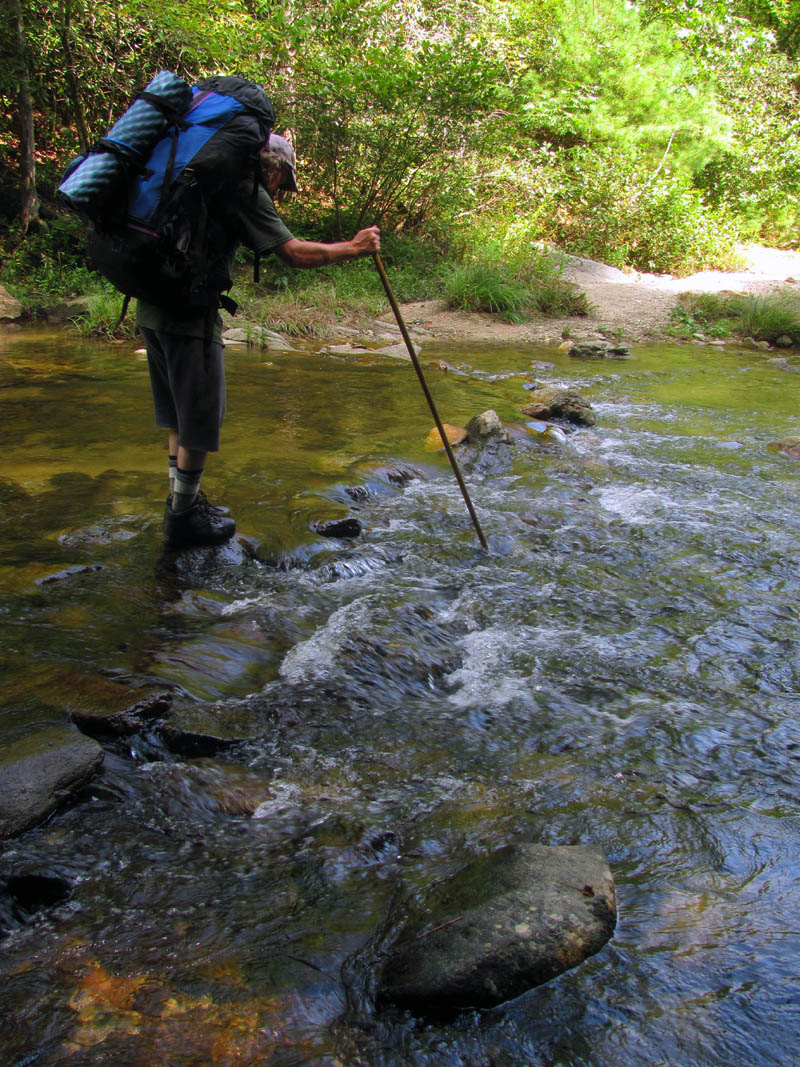
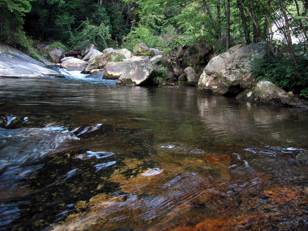
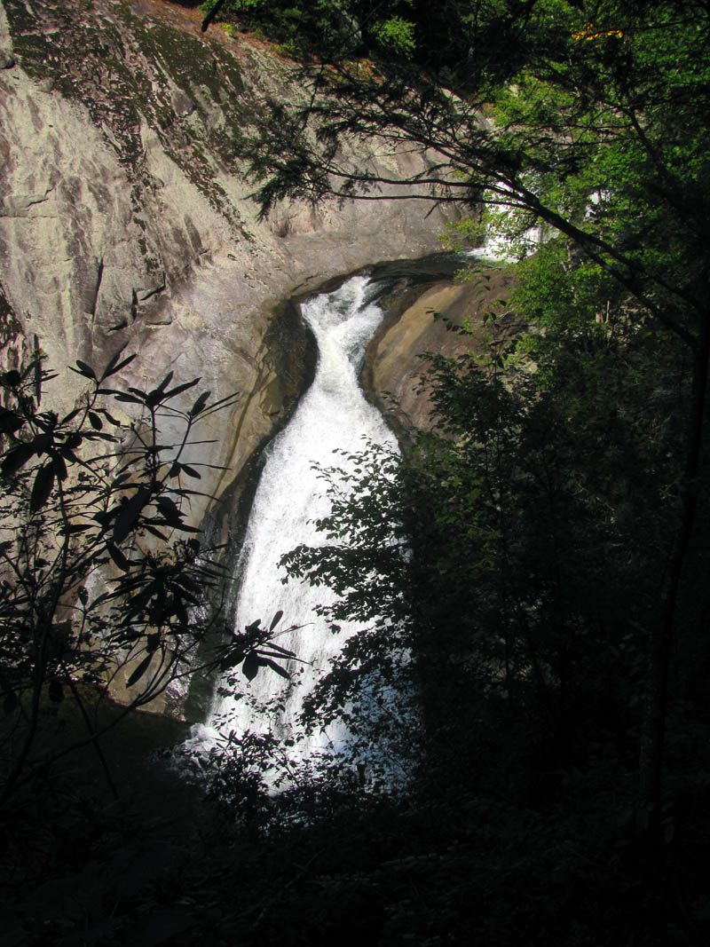
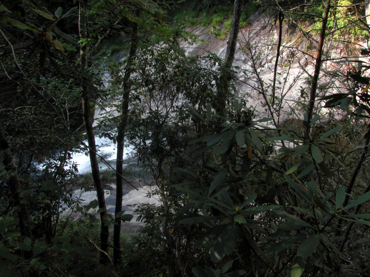
Once we reached the main road, we crossed a bridge over Webb Creek where it flows into the Gragg Prong. Bol’Dar was still talking about how comfortable I seemed the night before on my ‘posture-pedic mattress’ and to make that even funnier was the discovery of an actual mattress lying right beside the road where we came out at ! From there the trail followed the Timber Ridge Trail #262 along the Gragg Prong Creek down to where eventually the Lost Cove Creek would intersect into it. At that point the trail would then travel up Lost Cove Creek to the Huntfish Falls where I really wanted to camp at but, it was not to be as it was getting late evening and we ended up camping at a place we found a couple miles down the Gragg Prong Creek. This would require several creek crossings, some of which were a bit tricky. We passed at least 3 nice waterfalls and several really nice cascades along the way that I will be sure to come back to see in the future. We also met a guy with his dog (Brian and Otto) that was out doing a loop hike.
Cascades and waterfalls along Gragg Prong
Waterfalls along Gragg Prong (find Bol’Dar)
Waterfall along Gragg Prong

More waterfalls along Gragg Prong
Waterfalls along Gragg Prong
Waterfall along Gragg Prong
Waterfall along Gragg Prong
The campsite we chose was not bad and we had a nice night there. Since my little toe was still very sore, I spent sometime stretching the boot and loosening my bootlaces which seemed to help quite a bit.
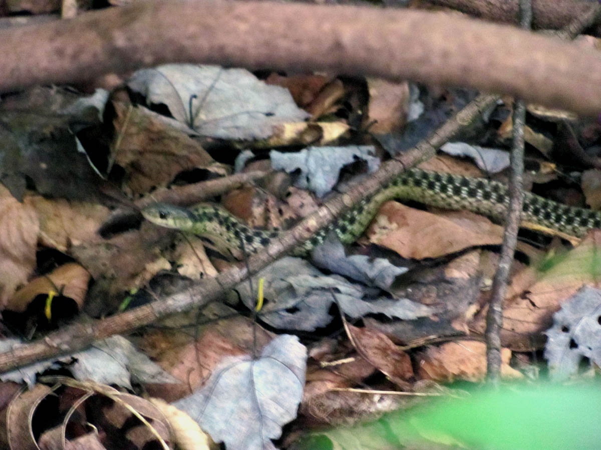
Small snake we encountered along Gragg Prong
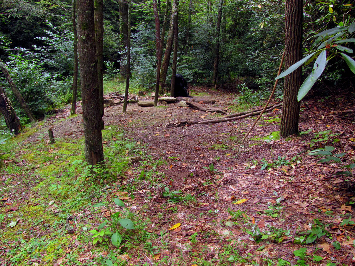
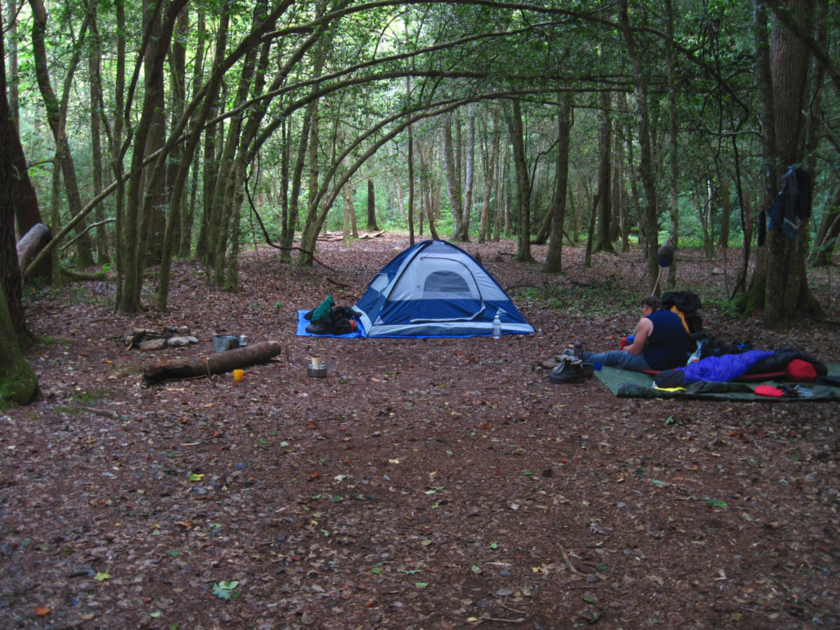
Campsite along Gragg Prong Creek (second night)
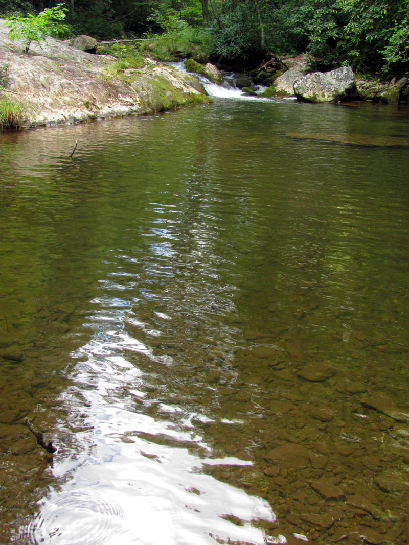
Gragg Prong Creek beside our campsite
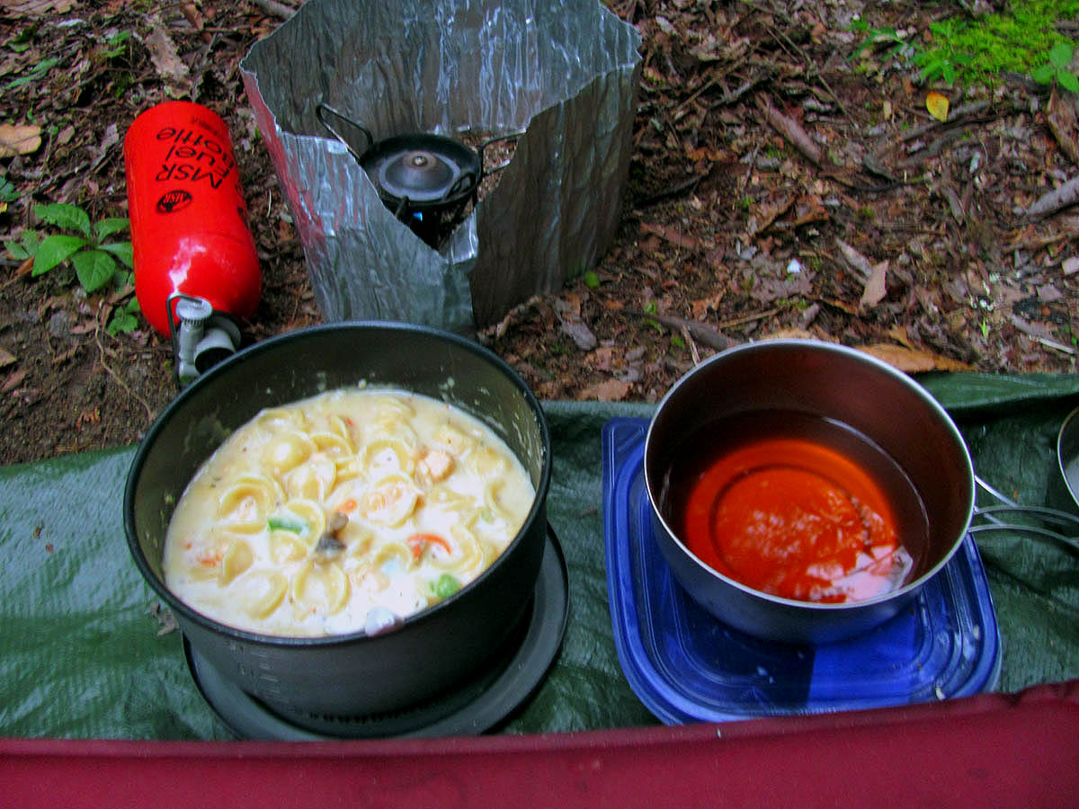
My supper for the second night (cheesy pasta with real chicken and fresh veggies and mushrooms)
The next morning, this being the third day, I awoke to Bol’Dar taking a picture of me still in my bag as I had been sleeping under the stars both nights so far whereas he had opted to tarp the first night and use his tent the second. Once breakfast was done and everything was packed up, we hiked about 100 feet and came to the Gragg Prong Creek/Lost Cove Creek intersection.
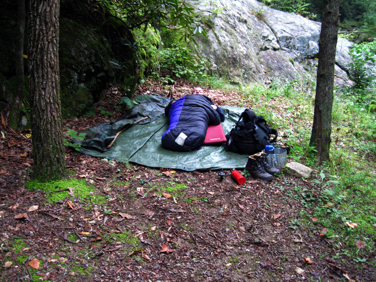
RAT still in the bag the next morning
Bol’Dar camp
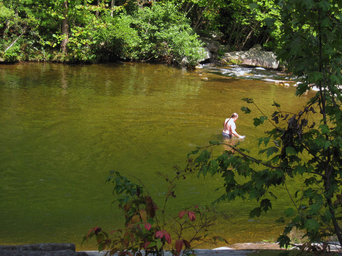
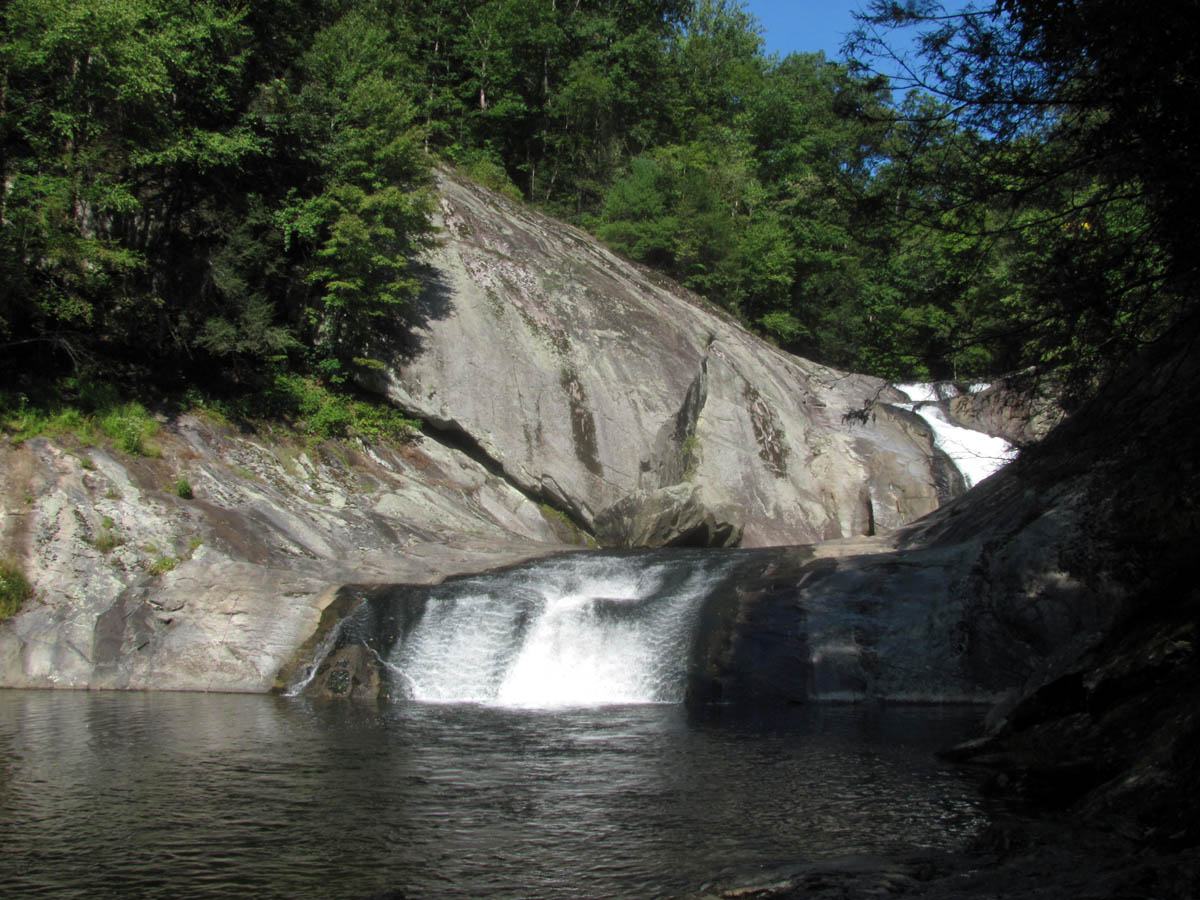
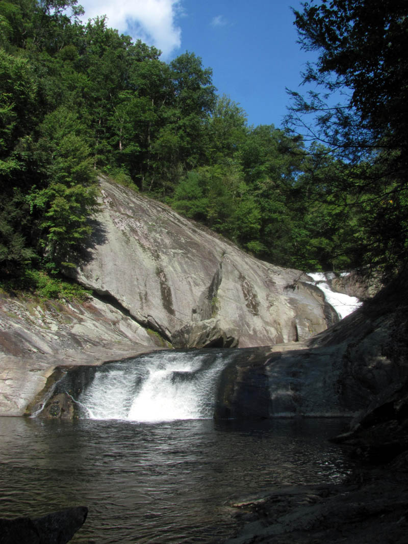
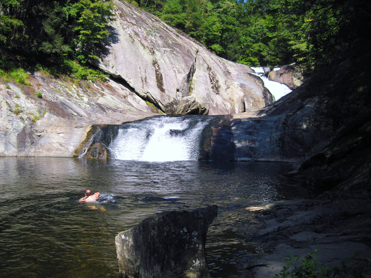
From there the trail turned right and followed the Lost Cove Creek upstream about a mile to the Huntfish Falls. This is one awesome place as I had been there before so, we dropped our packs and spent a good long time there for lunch. It was a very warm and sunny day so I decided to go for a swim at this amazing swimming hole. There is a feeder falls just to the left of the main falls that is nearly 100 feet in height which still had some water flowing down it. I was taking pics of them when Bol’Dar happened to notice a yellow jackets nest in the ground about an inch from my foot. I came very close to being stung so I was happy he was being observant that day.
Huntfish Falls
Huntfish Falls

Huntfish Falls
Huntfish Falls
Huntfish Falls
RAT after a swim at Huntfish Falls
While we were lounging around the falls in the hot sun soaking our feet in the cold water, I noticed some butterflies doing the same thing around one of the many small potholes there. I could not resist taking some pics of them.
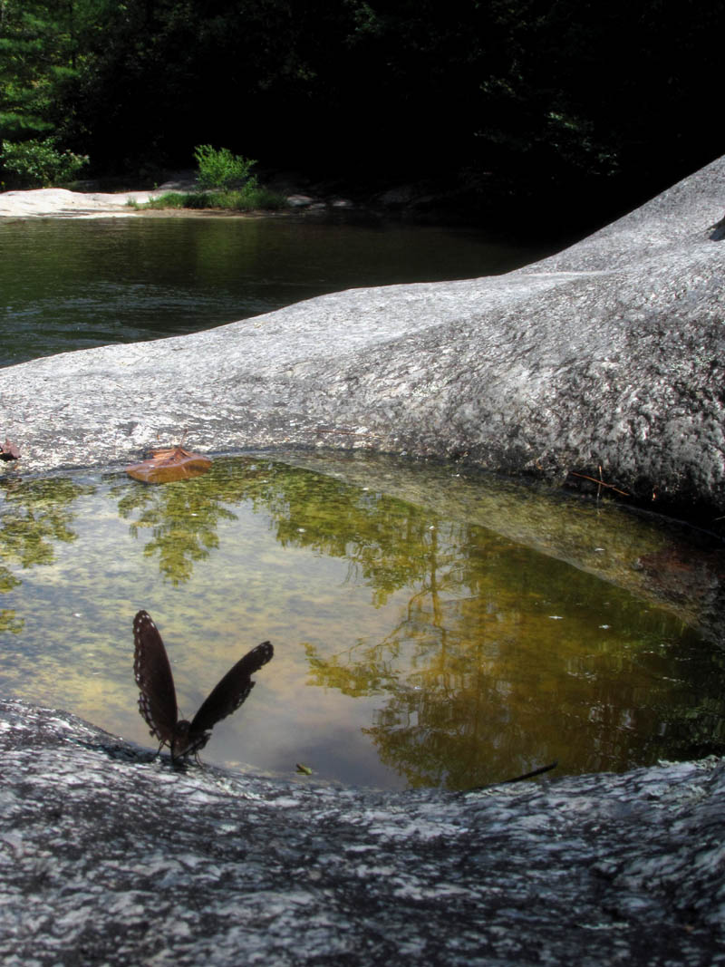
butterfly at Huntfish Falls
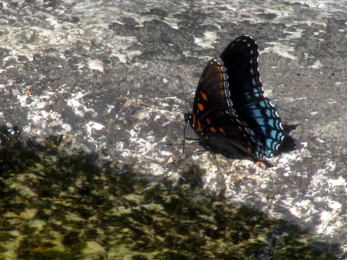
Butterfly at Huntfish Falls
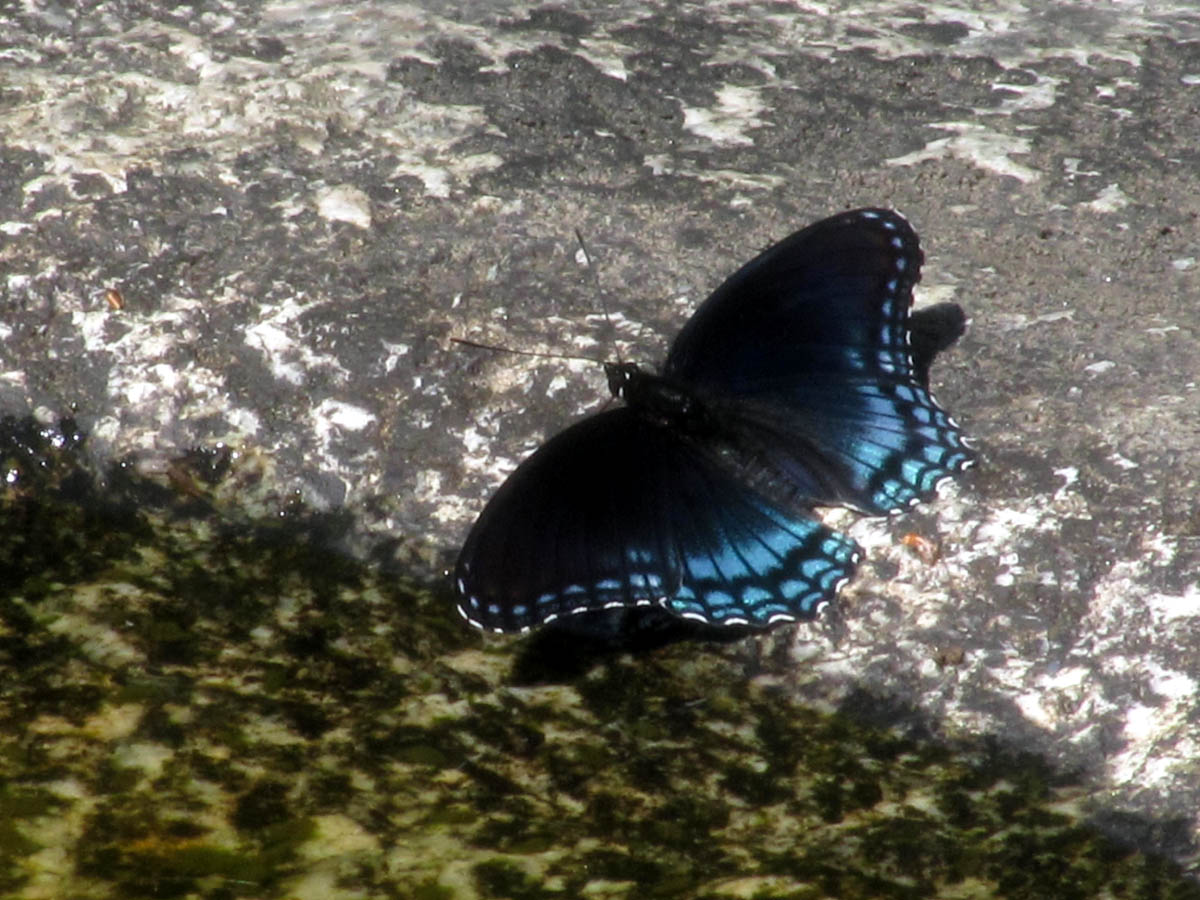
Butterfly at Huntfish Falls
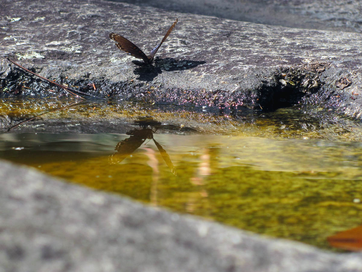
Butterfly at Huntfish Falls

Butterfly at Huntfish Falls
After a long break we began the one mile ascent to FR #464 above. This was the first real hill of the hike so far but it is really not that bad so it did not take long to reach the road. The trail follows the road for nearly another mile until it goes off the other side where it is almost another mile to reach the valley below on that side where the North Harper Creek flows. Although neither of us are fond of road walks, this is a gravel road and being just out of season there was no traffic at all. We met one guy on a motorcycle before making it to the trail head parking area where we took a break before going down to North Harper Creek.
Sign at trail head on FR #464. Someone left a nice hiking stick.
Hiking along FR #464
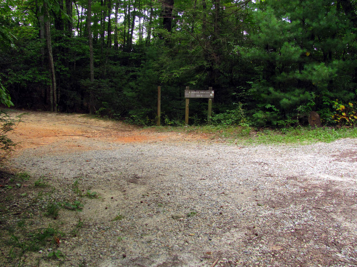
After walking for nearly a mile along FR #464 we reached the next trail intersection (#266A) which leads down to North Harper Creek
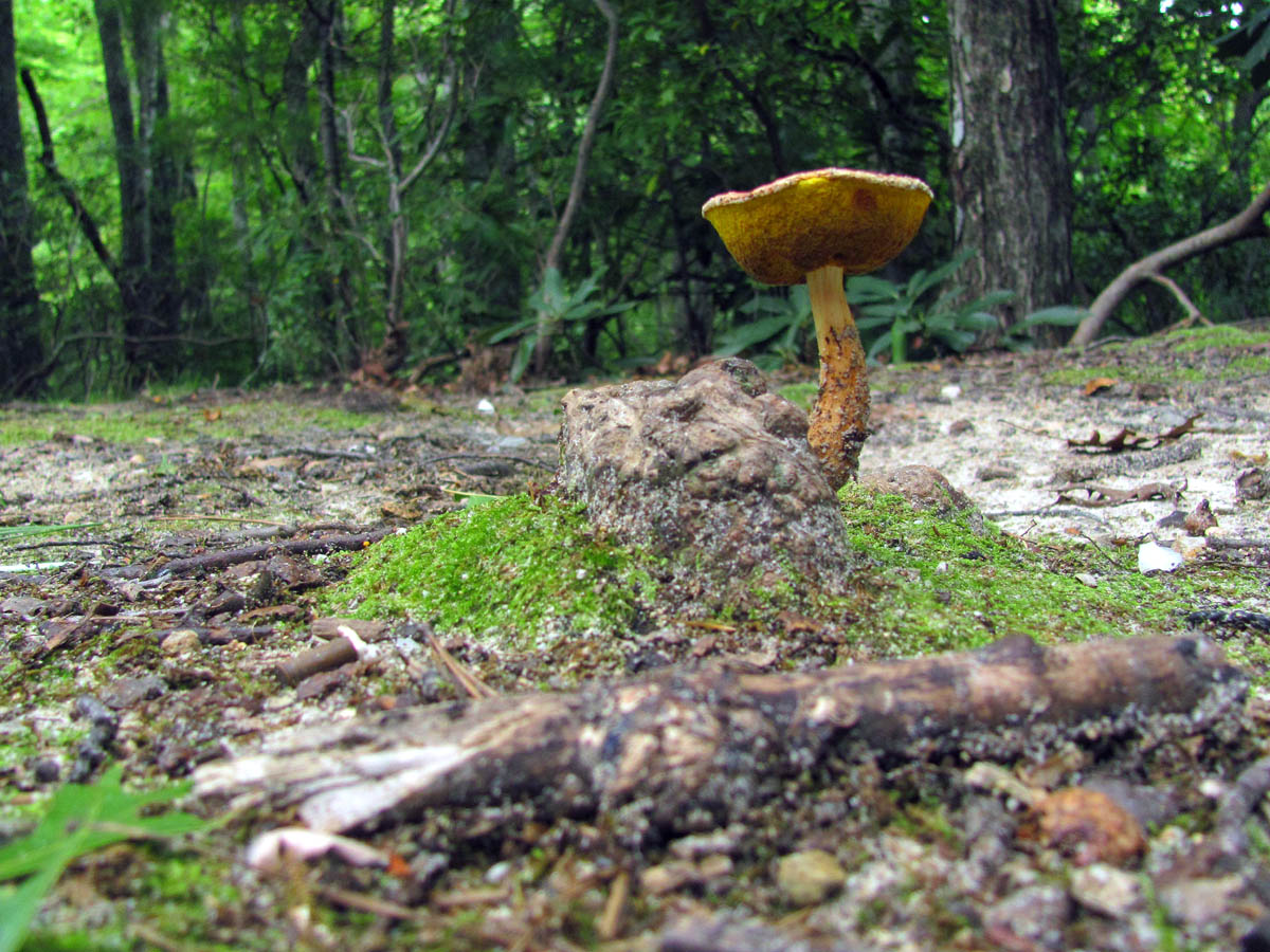
Cool shroom found at the trail head for the Harper Creek Trail
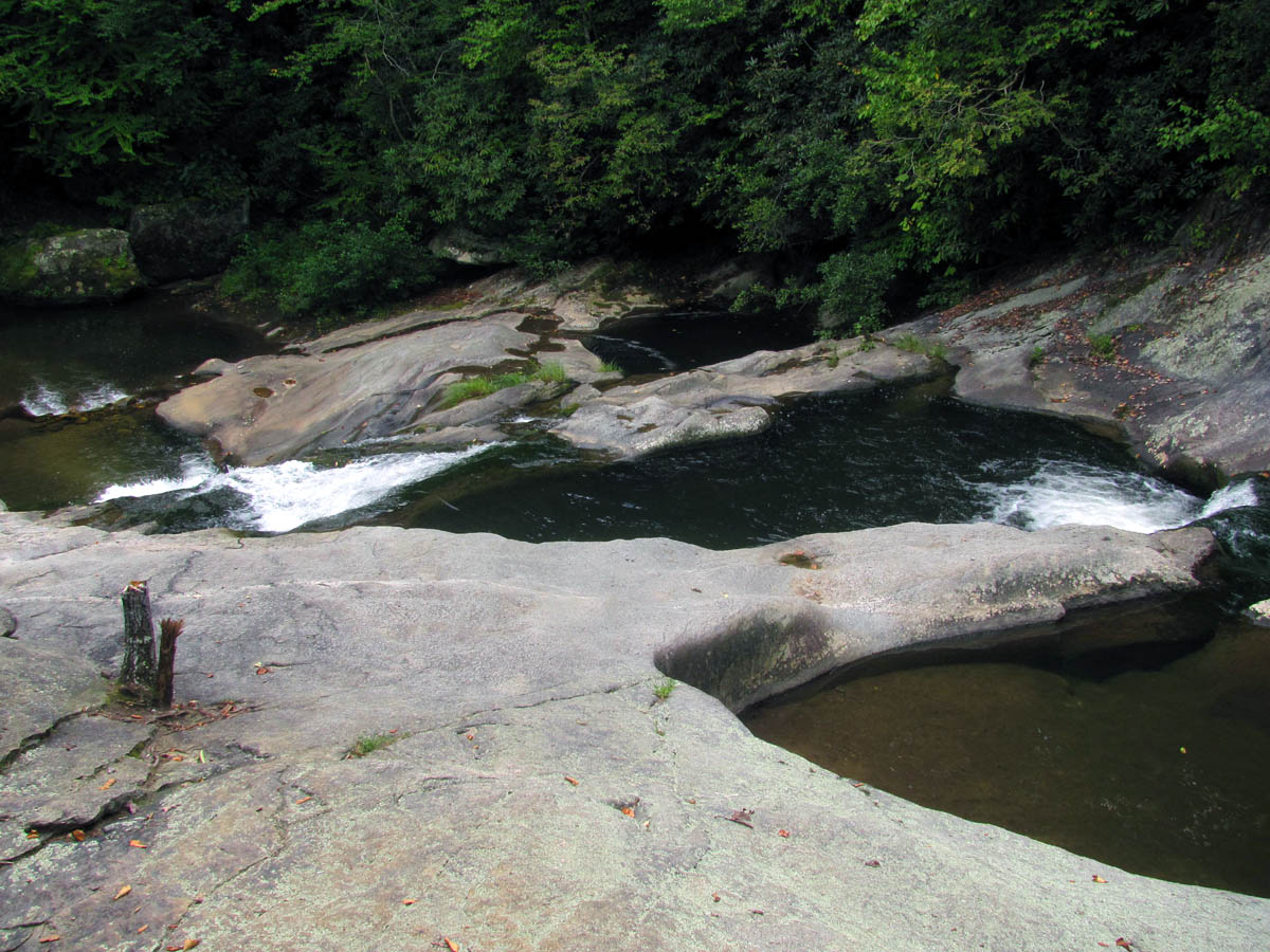
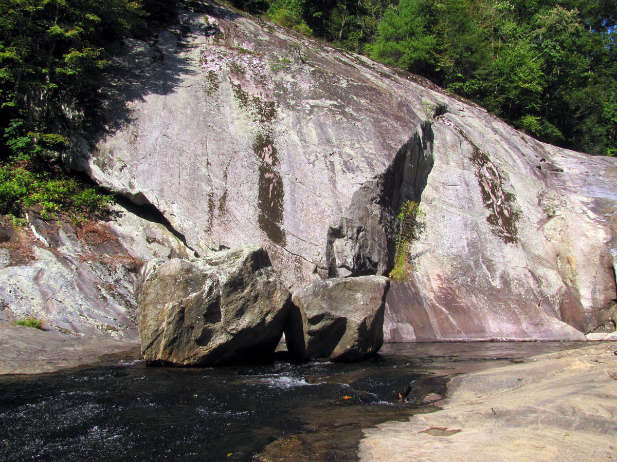
The trail (266A) is very nice from FR #464 all the way to North Harper Creek so it was a pleasure hiking down to the creek where it intersects and follows trail #266 downstream about a mile to reach Bard Falls. These falls are unique with their huge potholes, some of which go all the way through to the bottom of the lower section of the falls.
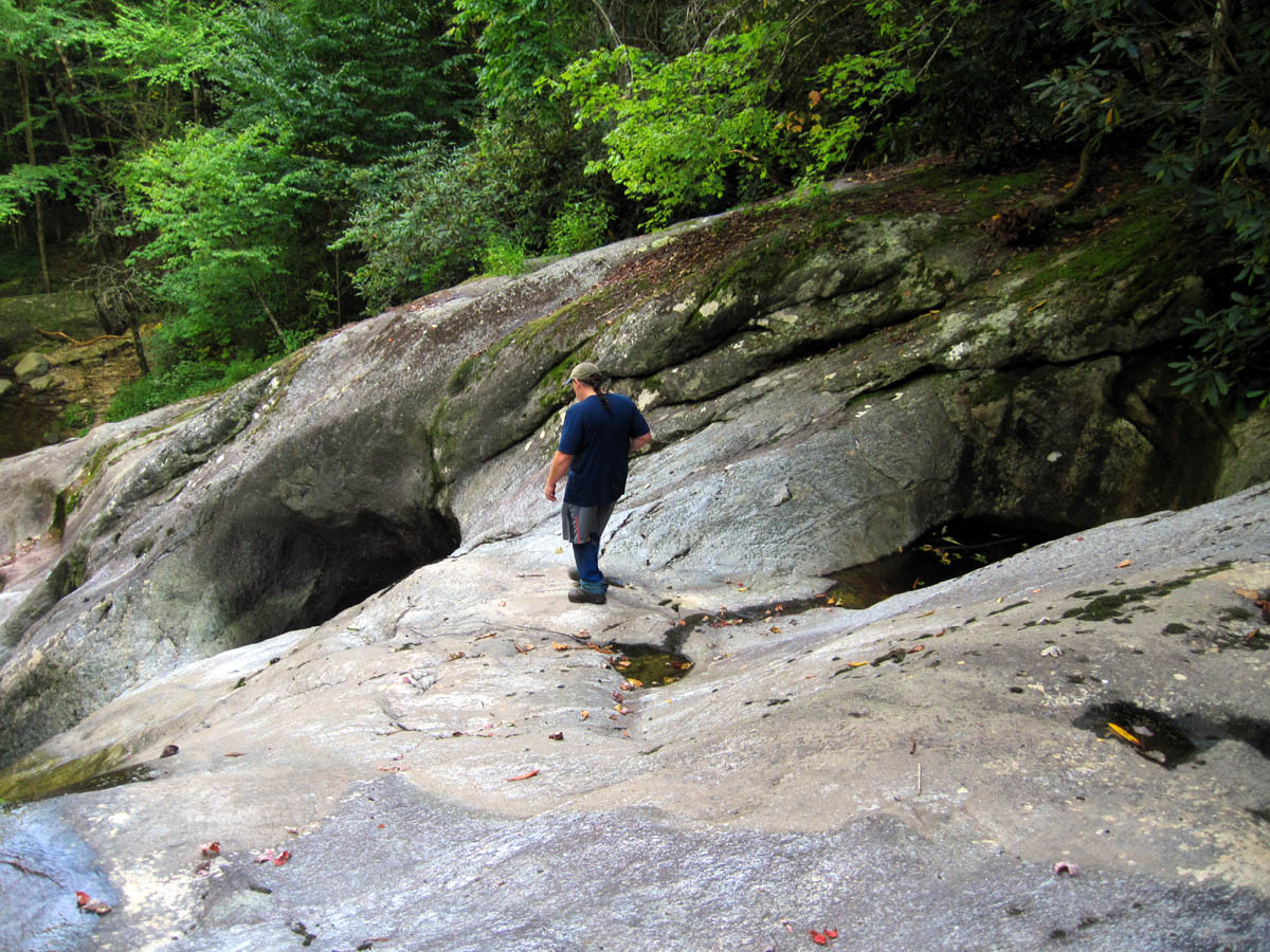
RAT standing at the top of Bard Falls
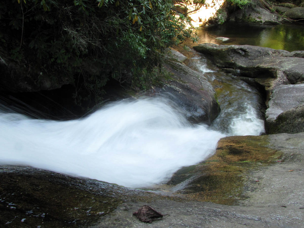
Looking off the top of Bard Falls
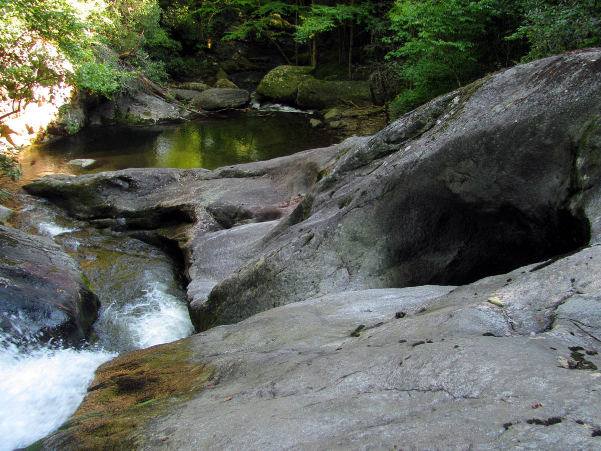
Looking off top of Bard Falls
RAT at Bard Falls
Bard Falls
Bard Falls

Bol’Dar getting up close and personal with Bard Falls
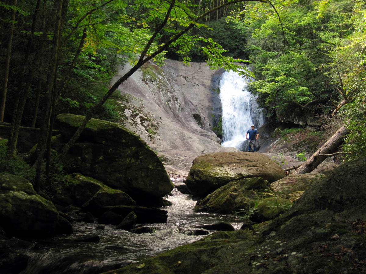
There was a strange orange colored flag hanging by chains beside the rocks across the creek that we had no clue what it was for. We took a good long break at the falls and would have camped but there is not a good place to do so as it is very rocky and the only halfway level ground is in a water runoff zone so we wisely opted to continue on down the trail where after another mile or so came to a HUGE camping area.This would definitely be home for the night. Right beside the creek so water was not a problem, and I slept under the stars again wondering why I even carried a tent.
Campsite below Bard Falls (night 3)
Another peaceful night with no critters or things that go bump in the night and the amazing thing was that the band-aid I had borrowed from Bol’Dar after the first day was still securely on my toe even after swimming at the falls the day before. This was one quality band-aid. The boots were still too narrow in the toe area so I was still in pain and I was very close to cutting them with a knife but loosening the laces and stretching the spot over my little toe was helping just enough to allow me to continue hiking and for that I was thankful.The one bad thing was my stove had now completely quit working so I had to borrow a spare alcohol burning stove that Bol’Dar had made and was carrying so that I could cook my supper. After we had eaten I was able to repair my stove so it ended up working just enough to use it for the remainder of the trip.
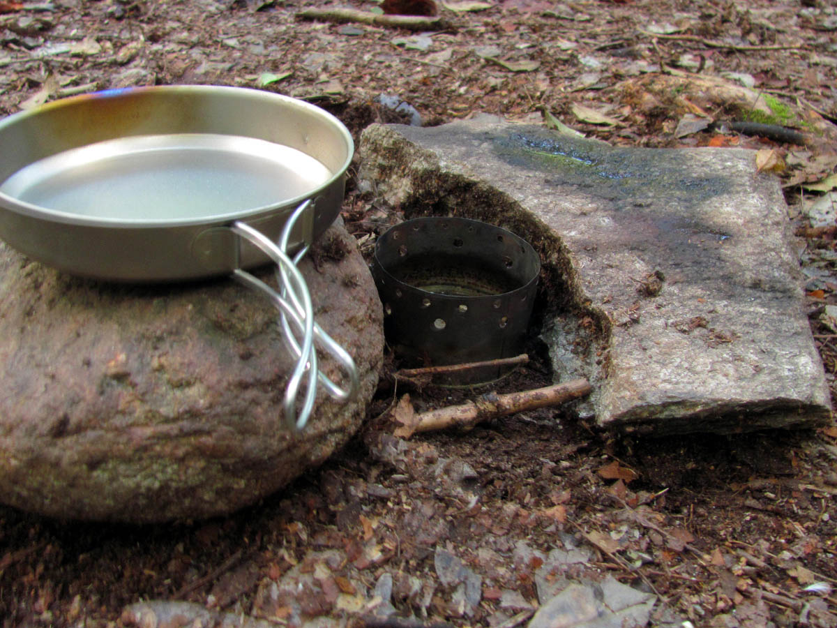
Alcohol stove I borrowed from Bol’Dar
RAT supper on night 3
We slept in again as usual and spent the rest of the morning drying out the condensation on our tarps that we used for ground bars as we were in no hurry as this being the 4th day of our trip would basically be our zero day as we had planned to stay at the incredible Harper Falls area all day and night which was just another couple miles below Bard Falls. We eventually broke camp and began the long 2 mile day around noon thirty.
RAT and Bol’Dar about to leave from the campsite below Bard Falls on Day 4
The trail is not that bad through this section but it does cross the creek several times, some of which are tricky and if the water was high you would definitely get wet. We came close a couple of times but managed to make it with minimal wetness. I knew we were getting close when we came to the intersection where Harper Creek comes into the North Harper Creek. There is a trail (#260) coming down that creek from what is called South Harper Creek Falls that the Mountains To Sea Trail used to follow until it was relocated to the Raider Camp Creek where it is now. It would have been a nice adventure to go that way instead and see those falls as they are also unreal, and there is a connecting trail back to the current MST trail but, we were not willing to bypass Harper Falls and we can always day hike into the other falls at a later date. (Note: there is no South Harper Creek but the waterfalls on Harper Creek are called that to differentiate them from the Harper Falls and North Harper Falls)
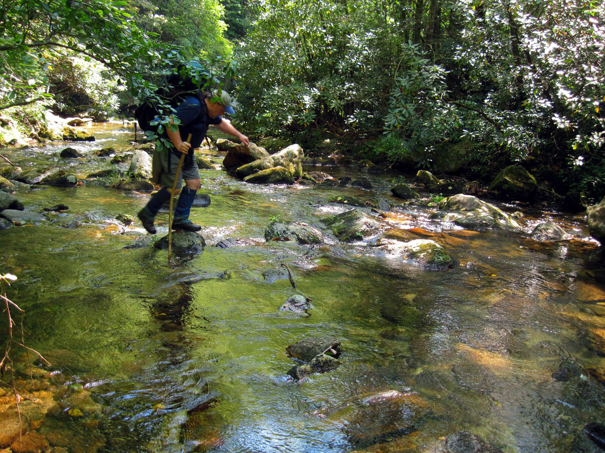
RAT negotiating one of the many creek crossings between Bard and Harper Falls
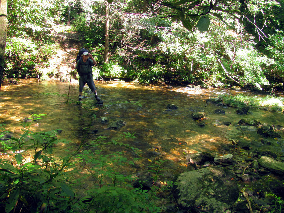
Bol’Dar negotiating one of the many creek crossings between Bard and Harper Falls
RAT almost across one of the many creek crossings between Bard and Harper Falls
Bol’Dar midstream while crossing N. Harper Cr. between Bard and Harper Falls
After a few more creek crossings we climbed up a steep side hill section which brought us out right above the top of Harper Falls. We climbed down a short but treacherously steep side trail to get the first view of them and could see this would continue down to the top of the falls if one wanted to brave such a feat (which looked safer than climbing the rope up the right side of the actual falls which also will get you to the top but a few have died doing so) but it was not going to be this day. We continued past the falls to where the side trail back to the falls was and climbed down the super steep embankment there to the camping area far below to setup camp and then we could make our way to the falls where we would spend the rest of the day.
Steep side hill trail that leads above the top of Harper Falls
start of steep side hill trail that leads to above the top of Harper Falls
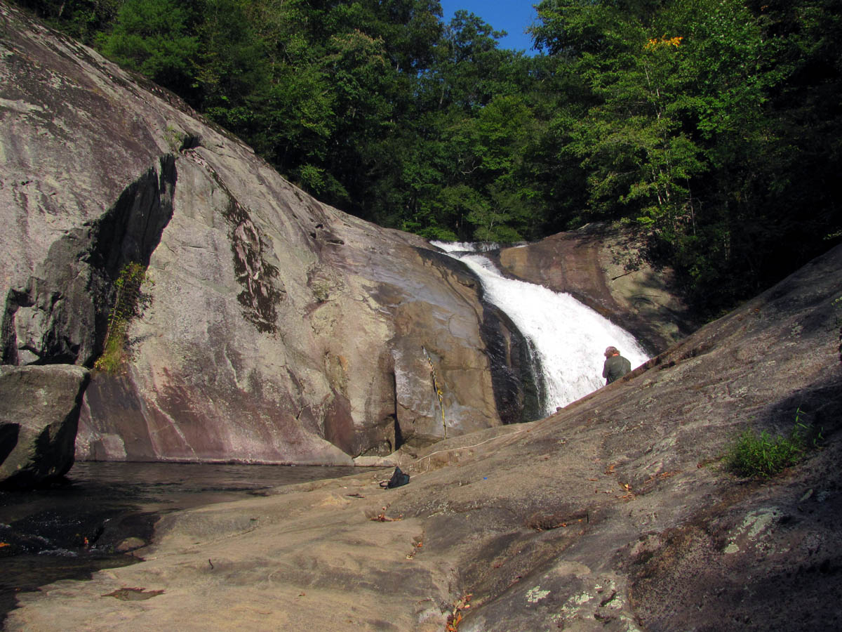
Looking down at Harper Falls from the small side trail we found at the top
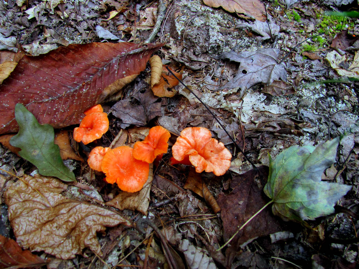
colorful Fungi along the trail
The climb down to the camp spots was really steep but it is well worth the effort. Luckily there was no one there for the whole time we would be there which is very unusual as it is normally very crowded during the season and on weekends. This was a very quiet and peaceful weekday. We chose a spot closest to the falls which was very nice. There are really huge rocks there and we actually had our own cascades and swimming hole just behind us.
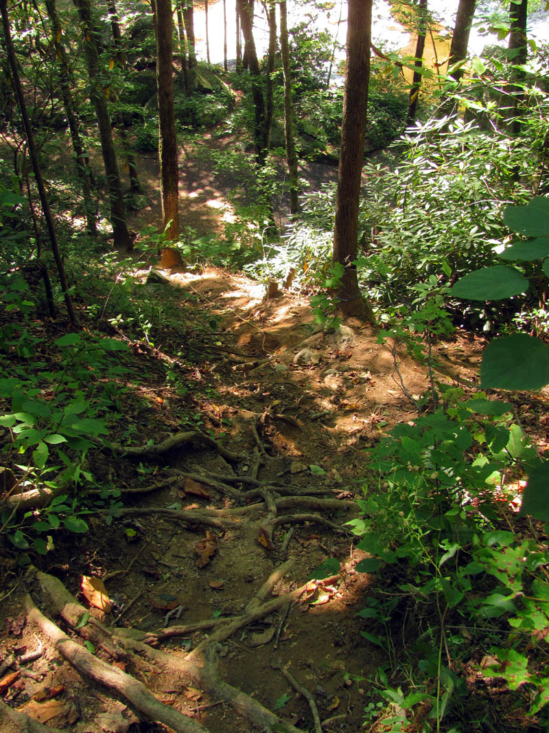
Making our way down the steep trail to get to the camp sites
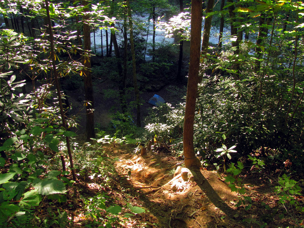
Looking down on our tents from the steep trail above
Bol’Dar tent at the foot of the really steep hill we had to climb down to get to the camp sites. (note that you are only seeing a small part of the hill we climbed down)

Our camp below Harper Falls
Just a few of the many large rocks found at the camp sites below Harper Falls
Awesome cascades and swimming hole just out behind our camp site below Harper Falls
After pitching our tents we chose to not climb back up to the trail knowing we would just have to climb back down (using ropes) to get to the lower and upper falls, so we made our way up the creek instead. It was not hard and within minutes we were at the huge swimming hole below the cascades which are the lower part of the Harper Creek Falls. It was a very warm day so I wasted no time in going for a swim over to the falls and back.
Making our way past the cascades behind our camp site up to the Harper Falls seen in the background
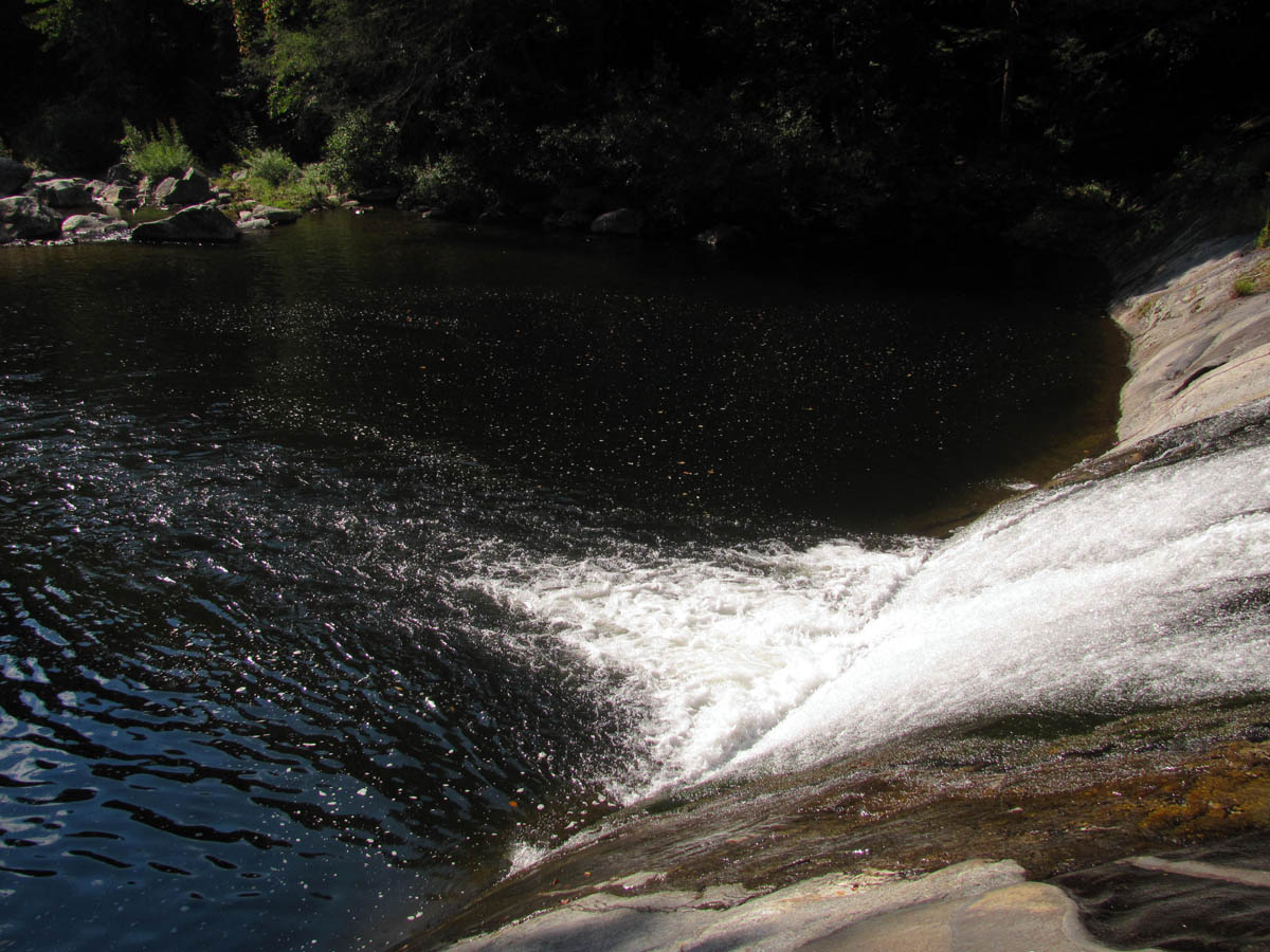
The creek just below the swimming hole which lies just below the lower part of the falls
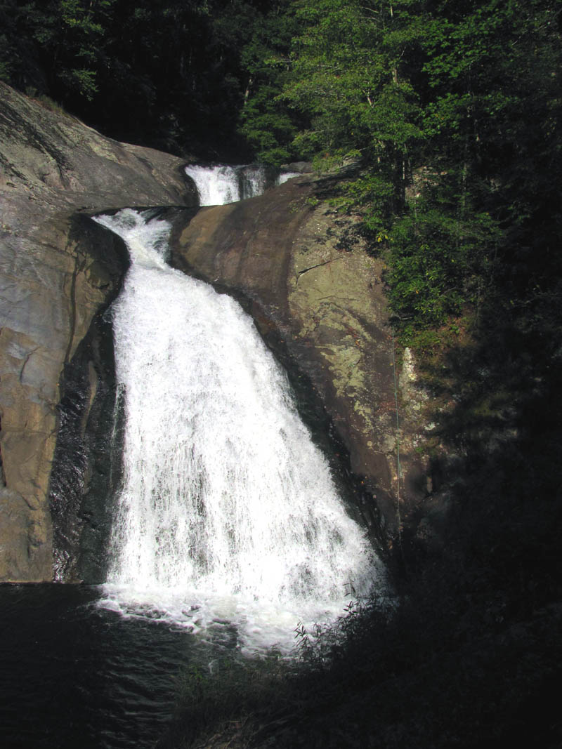
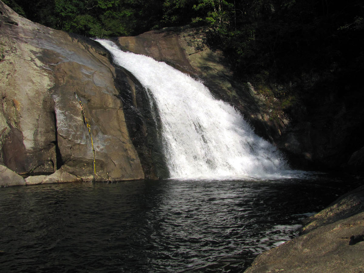
Harper Falls
Harper Falls
RAT swimming at the lower part of Harper Falls
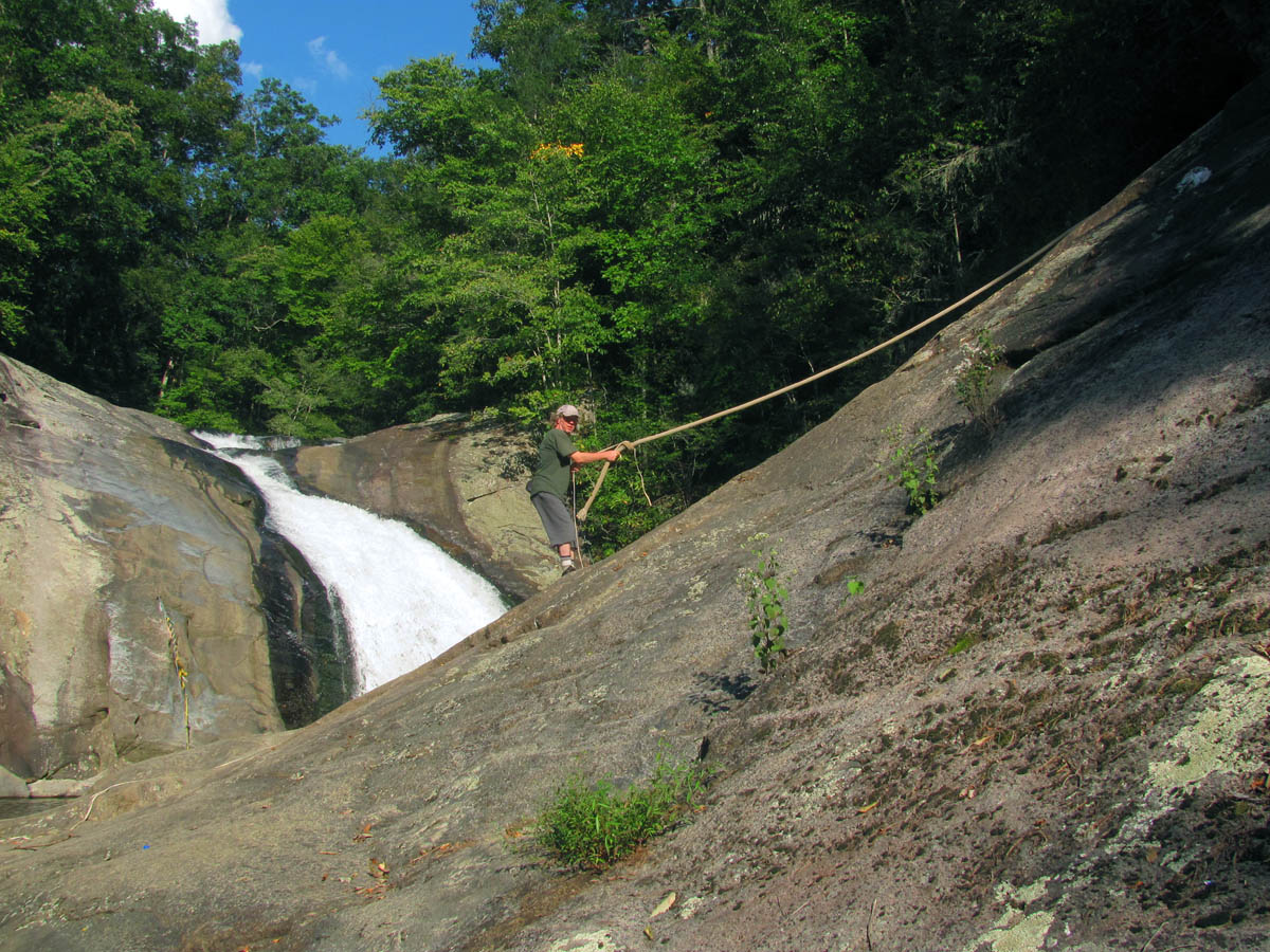
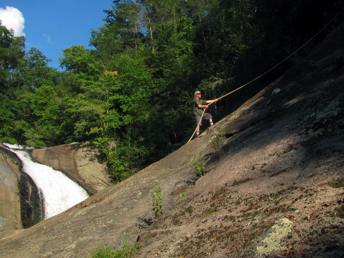
RAT climbing the rope beside the lower part of Harper Falls
After hanging out there for awhile, we climbed up the steep side trail to the trail above where you can see the main and upper part of the falls.
Harper Falls
Looking down on the lower part of Harper Falls
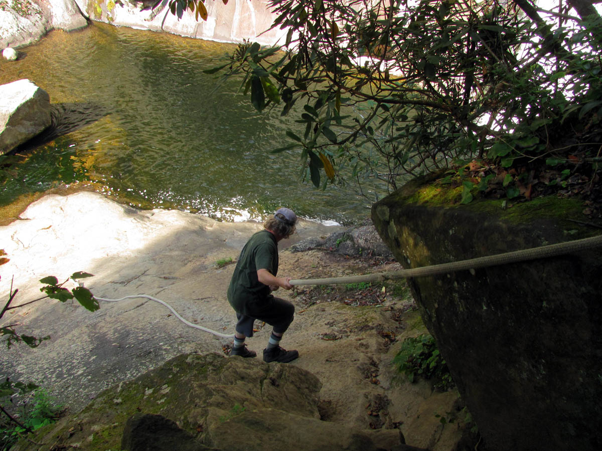
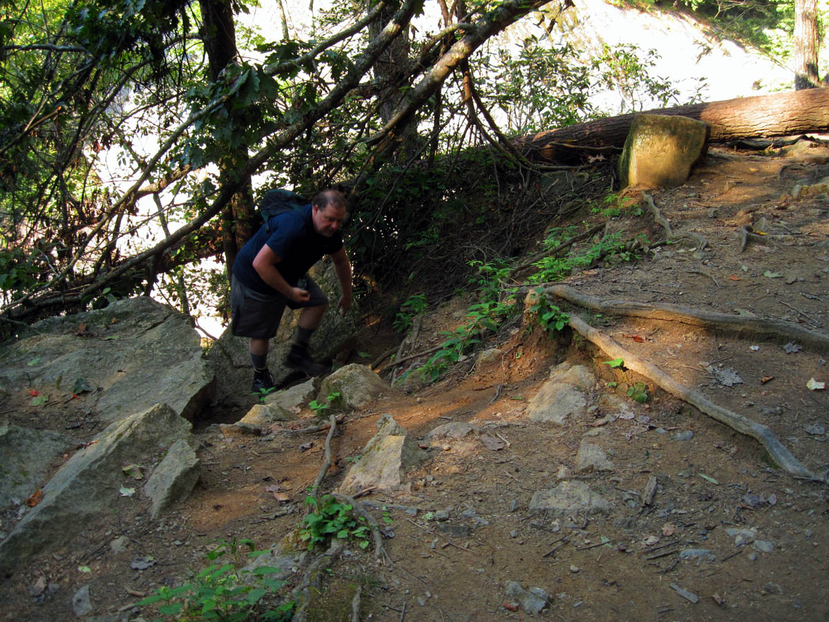
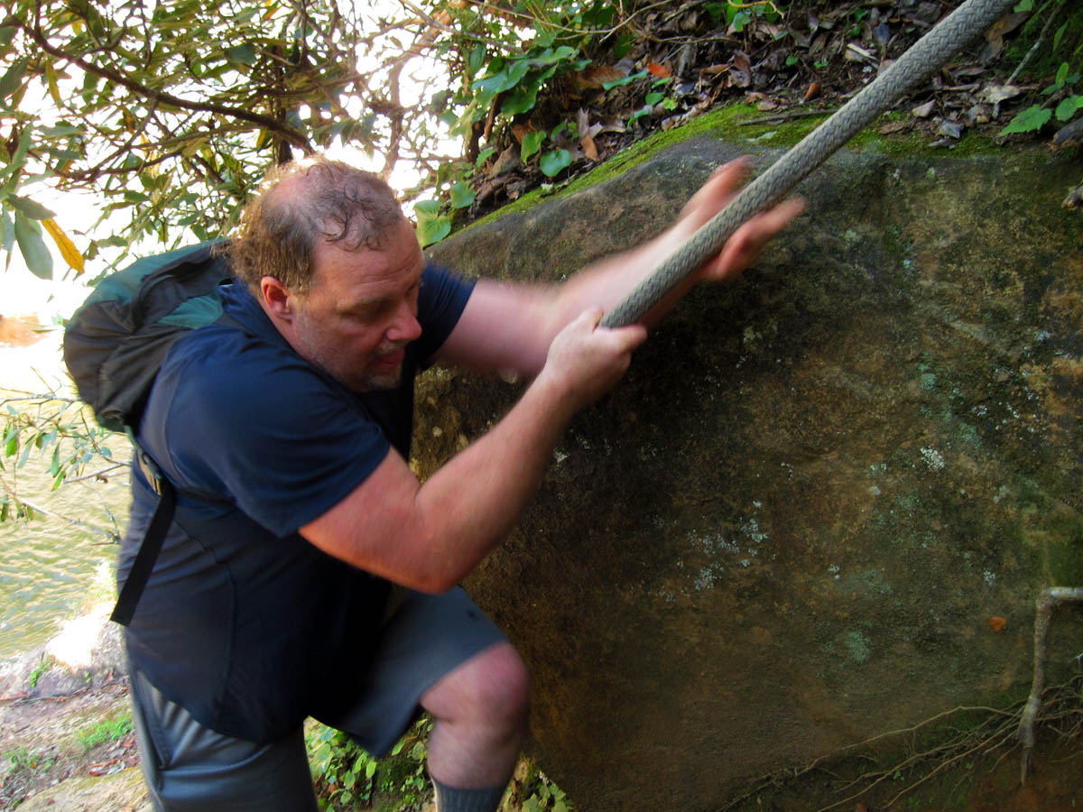
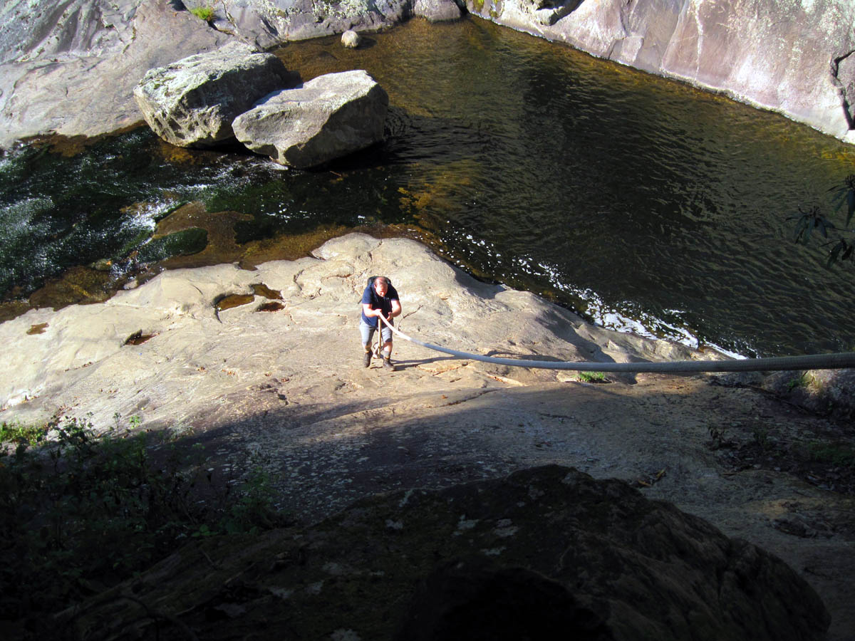
This is where it gets fun as to get down to the base of the upper falls one must use a huge rope. Since I had done this before I let Bol’Dar go first so I could take pics of the process. Once we were both down, we laid around like lizards on a hot rock taking in the enormity and beauty of these awesome waterfalls. This was by far the nicest part of the hike so far. Here is a series of pics showing the rope climb:
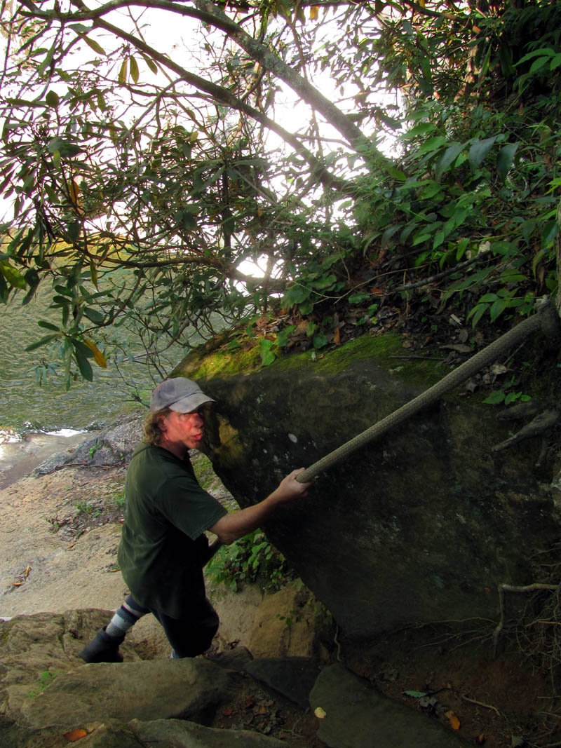
Bol’Dar beginning his descent on the rope
Bol’Dar on the rope
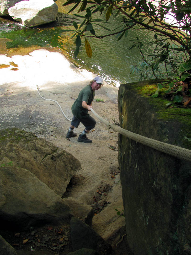
Bol’Dar on the rope
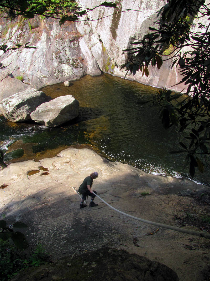
Bol’Dar getting further down the rope
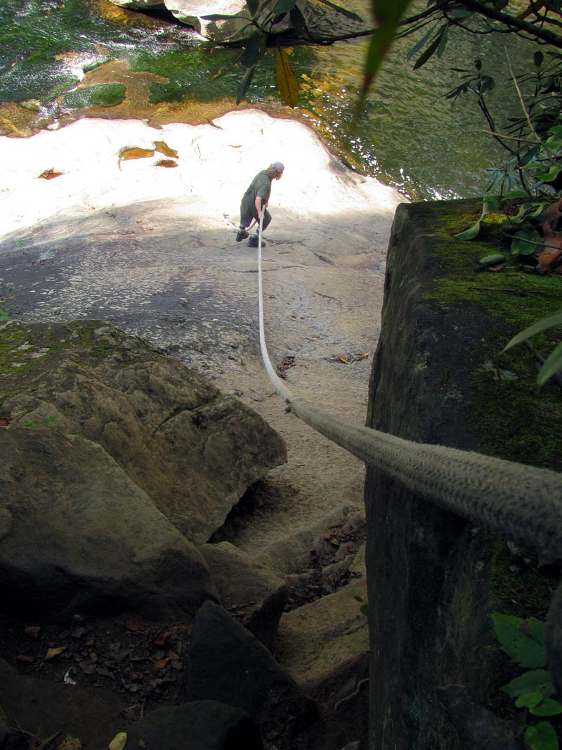
Bol’Dar almost to the bottom
RAT completing the climb up the rope
RAT at the top of the rope
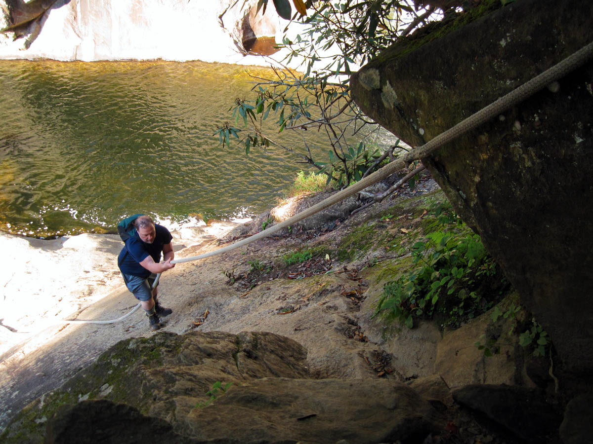
RAT climbing the rope
RAT at the bottom of the rope
Bol’Dar climbing up the rope
Bol’Dar climbing the rope

Bol’Dar climbing the rope
Here are some shots of the falls taken while we were down at the base area of the upper part and one I took while climbing down the rope ! :
Picture of Harper Falls that I took from halfway up the rope.
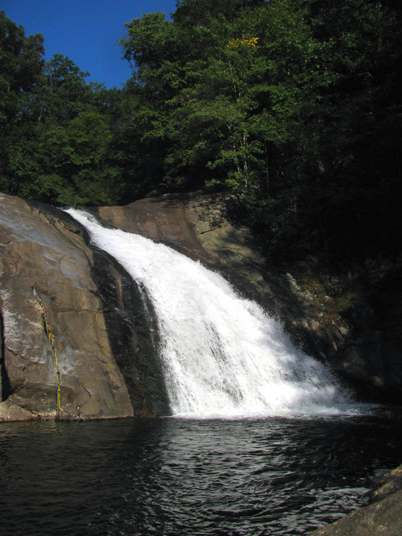
Harper Falls
Harper Falls
Harper Falls
View of the lower part of Harper Falls with the lower swimming hole below
Bol’Dar soaking in some sun at Harper Falls
We stayed there for a long time but soon enough the sun started sinking so we knew we had to make the climb back up the rope and get back to our campsite to cook us up some supper. This was actually fun and it did not take long to get back and begin pumping some water at the awesome cascades behind our killer camp site. There I found what looked like some dinosaur tracks in the rock beside the cascades. Definitely those of a ‘Hairntasaurus’ from the ‘Hairntalithic’ period. I also found what looked like a huge turtle rock and when I walked out on what would be the turtles neck and head, I could see a rock ledge that the water had cut over the years that formed what could be one of the best swimming pools ever made. With the water levels on that day, one could sit on this ledge and still be only waist deep in water with your feet dangling into the deep part and then you could swim over to a large rock in the center of the deep swimming hole that resembled an old ship that I am sure you could climb up on from the backside and dive off of (if one so desired). It was too late in the day for any swimming so this would have to wait for another time.
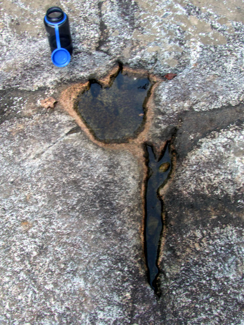
Dinosaur looking track in the rocks beside the cascades behind our campsite
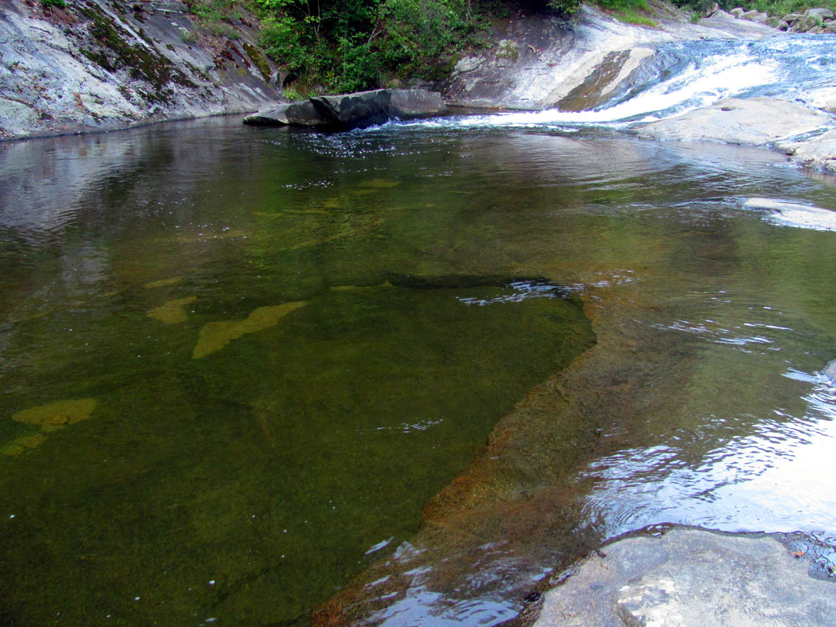
The awesome swimming hole with the sitting ledge around the ledge with the ‘ship rock’ in the center of it which is right behind our campsite
Close up of the ‘ship rock’
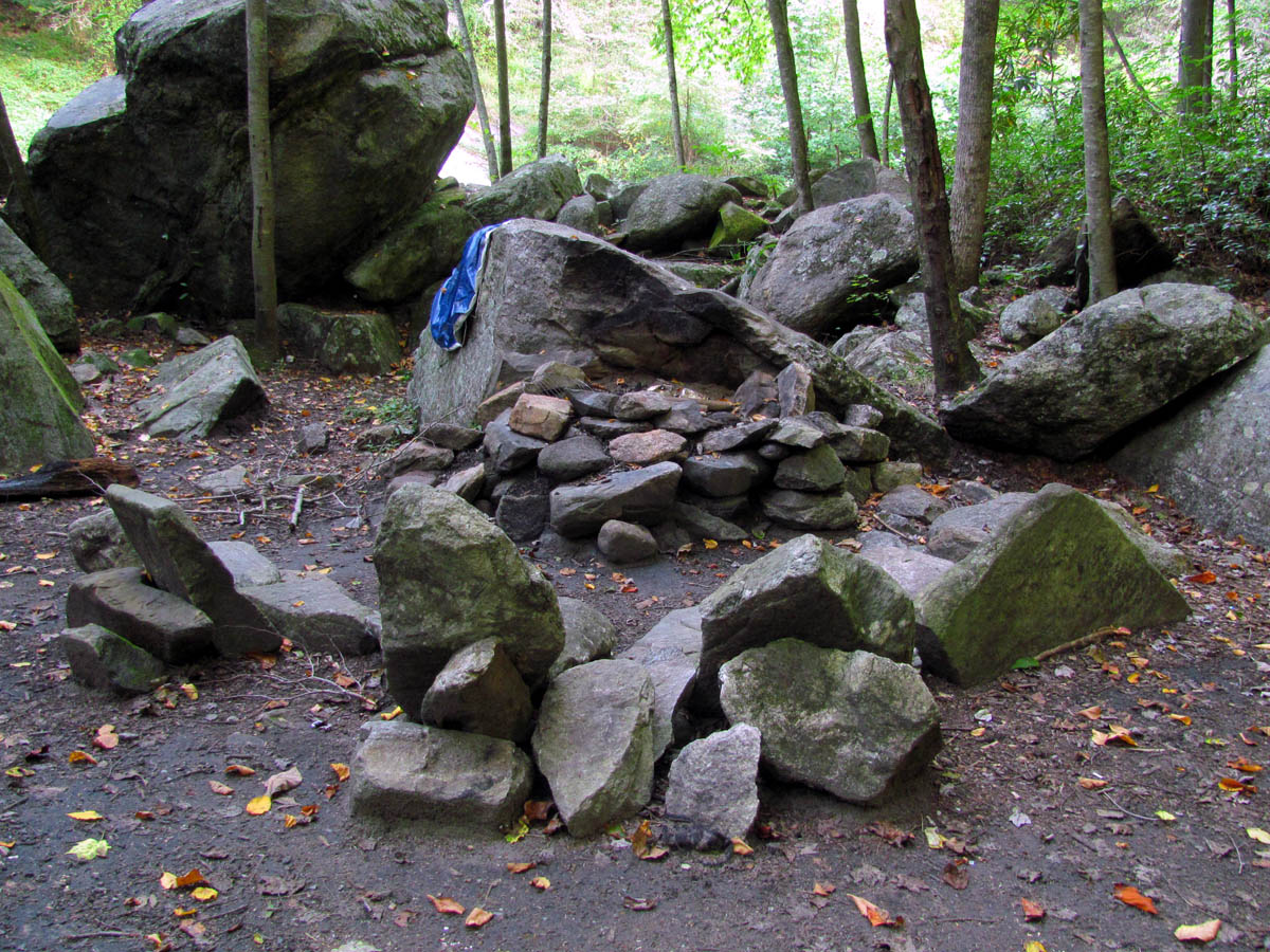
Flintstone rock furniture at campsite just below ours
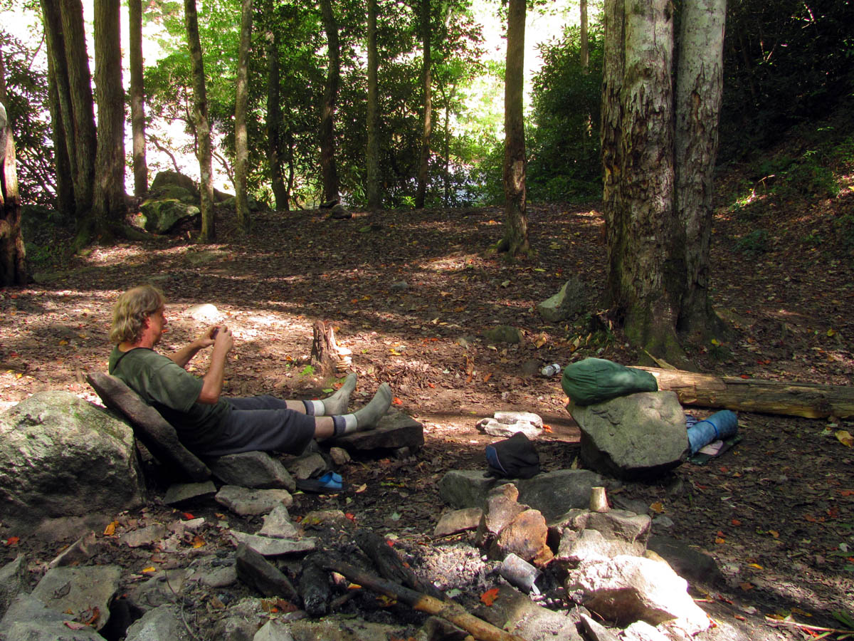
After discovering some ingenious Flintstone type rock furniture at the larger campsite just below ours, I decided to construct a rock chair for us. This turned out very well and would be my Lazy-Boy the whole time we were there. After supper was done and another shot of Wild Turkey American Honey, it was not long before we turned in for another good night`s sleep, my first night in the tent I was carrying. There were no critters or noises in the night and we slept in again the next day. I hated to leave this camp because it is just that nice but knowing we still had a good ways to go and it was now our 5th day out we had no choice but to break camp and carry on. We did manage to find an easier and more gradual trail back up the steep hill back to the trail which was a good thing after which we made our way down the hill to where the intersection of the Raider Camp Creek Trail (signed as #440 but labeled as #277 on some maps) is found. According to the sign we had 8.3 miles to go which was more than we had calculated and we had 2.5 miles of road walk to do after that !
Nice cascades and another swimming hole below our camp. There are several of these behind all the campsites.
Bol’Dar lounging around on our rock furniture. You can see the creek and cascades, swimming hole, etc., off in the distance
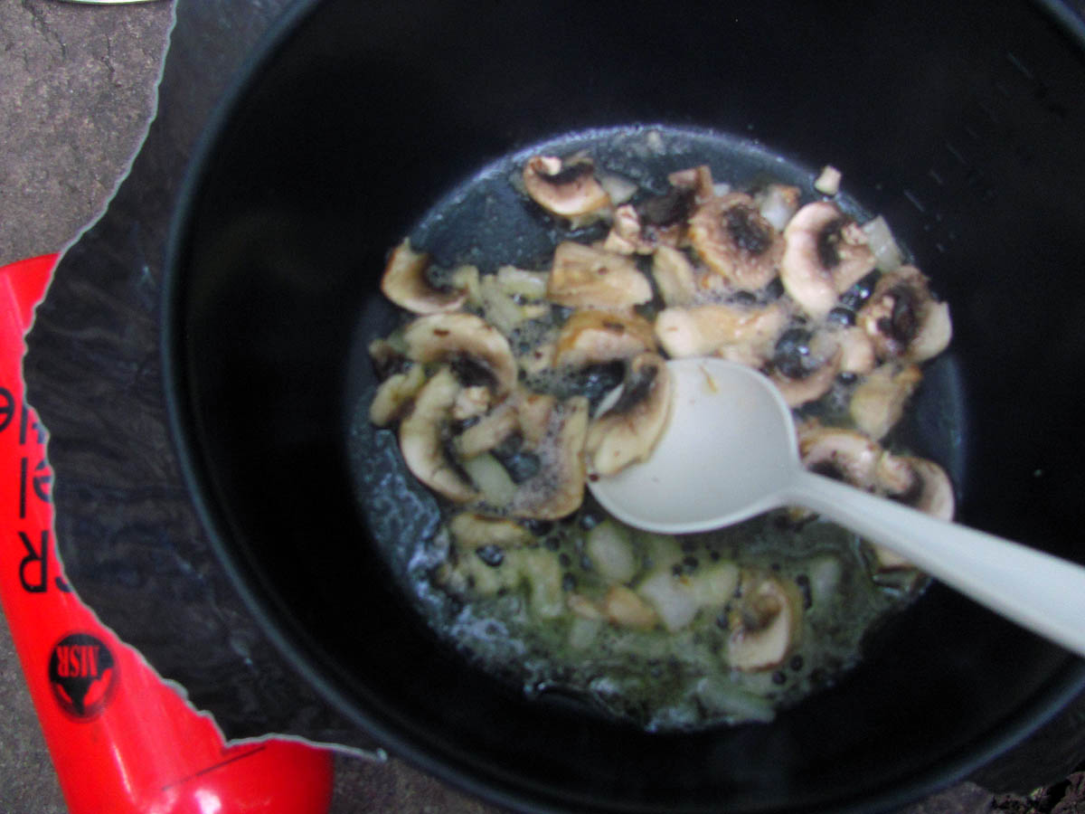
Sauteing some mushrooms, onions and garlic to add to my supper on night 4
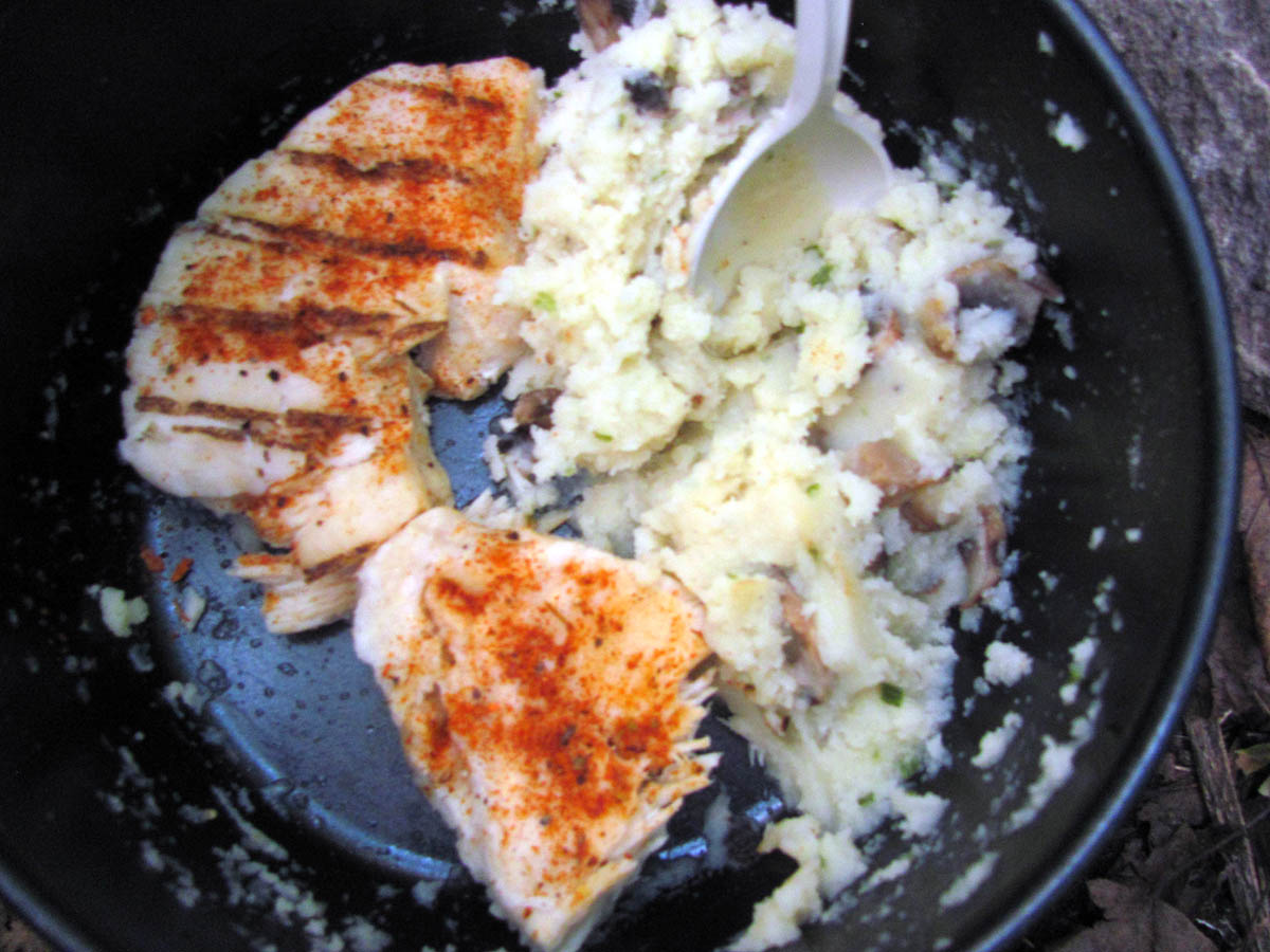
RAT supper of chicken breasts, mashed `taters with mushrooms / onion / garlic
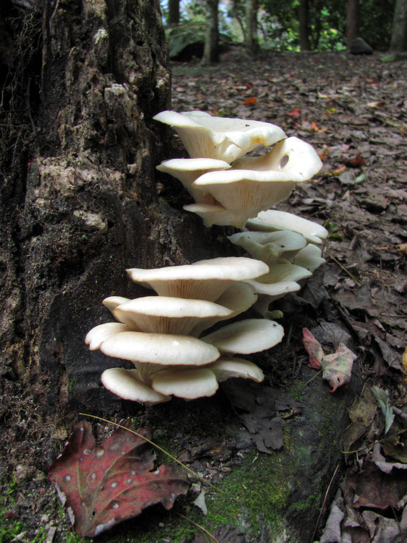
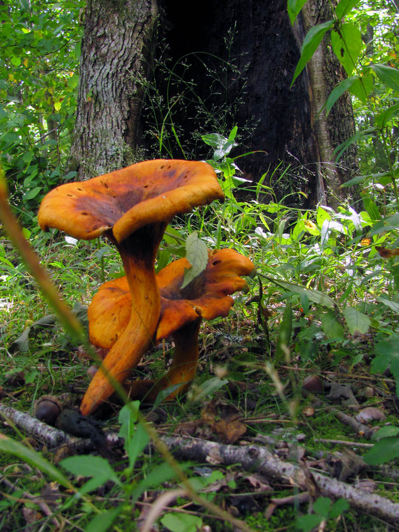
Fungi growing near the campsite
Different angle of the fungi growing near our campsite
From there the MST makes a hard right at some large, flat campsites and crosses the creek. This is the widest crossing yet as the Harper Creek becomes many separate creeks and grassy spots that is tricky to negotiate. It was a hard crossing and if the water was any higher it would have been a take your boots off and wade type of thing. After making it across amazingly not getting wet, we proceeded along the trail and found an easier crossing that connected over to one of the large camp spots back where we started. We could see the bicycle tracks going that way so it was apparent that was the way to go. I will remember this for any future hikes.
Bol’Dar crossing just one of the many parts of the Harper creek near where the Raider Camp Creek trail and creek begins
Old piece of rusty iron grown into a dead tree along the trail in the Raider Camp Creek Hollow
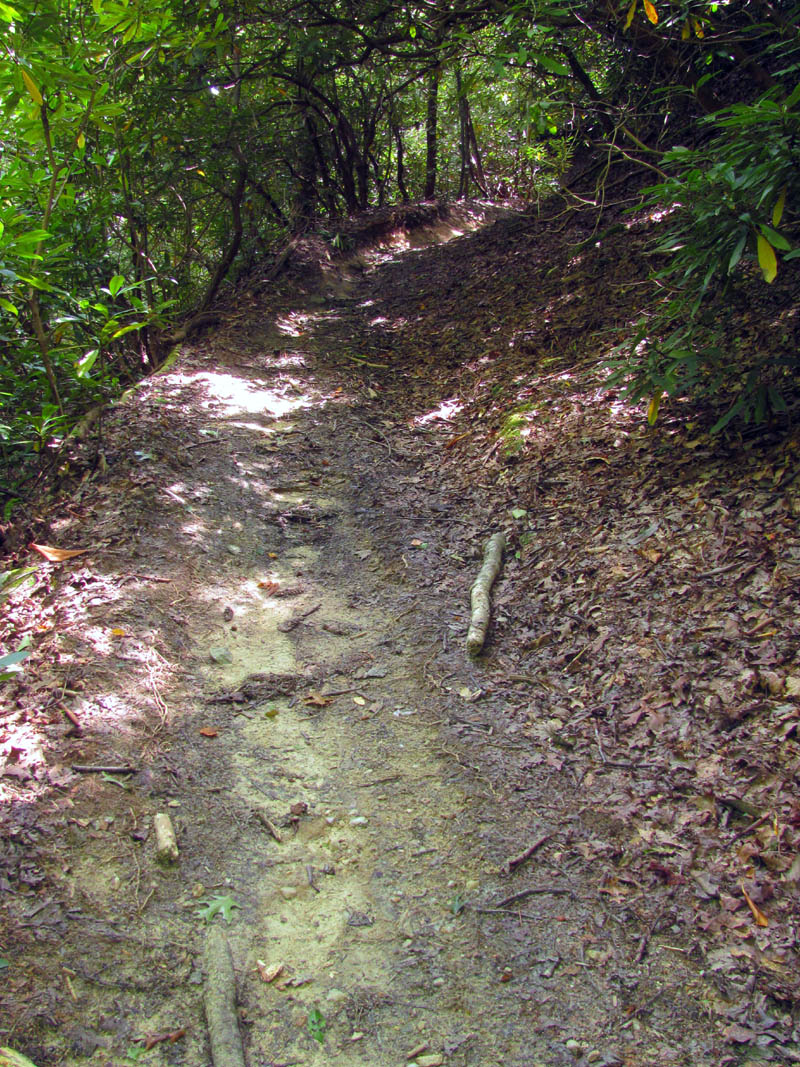
The trail now began a long ascent up the Raider Camp Creek Valley. This would be the second and largest hill climb so far on this trek but the trail is well graded and the bikes have worn it out to the point that it eventually would become canyon-like with red clay color and sides that would reach over our heads. There were smooth berms with high banks and many stair step levels that would be jumps for the bikes as they come down the hill with a highly eroded creek bed like gully in the bottom which is where the hiker ends up walking in.
part of the trail that climbs through the Raider Camp Creek Hollow
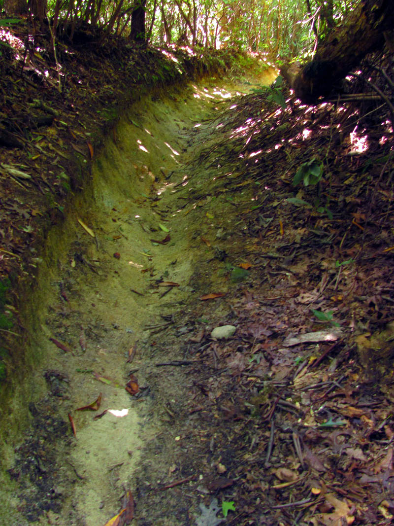
Eroded and banked part of trail leading through the Raider Camp Creek Hollow
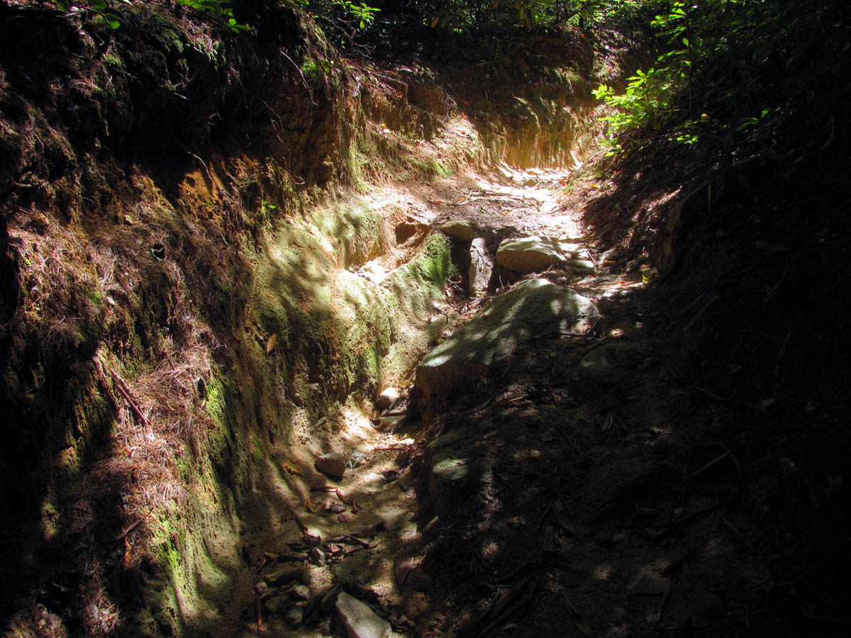
Highly eroded trail through the Raider Camp Creek Hollow
This goes on for at least 2 miles so after about a mile we stopped for a long and well earned lunch and water break. While sitting there I happened to look up in the trees and spied what looked like a high wire stretched through the trees high above us. As I looked closer I could see that it was actually a spider web and not only one of the largest I have ever seen but, also the longest I have ever seen spanning at least 20 or 30 feet ! It was shining in the sun like high tensile steel and as I zoomed in closer with my camera I could not imagine what ‘Shelob’ type creature could have made such an impressive web. It was not long after this that we decided to don our packs and continue hiking.
Spider web high wire in the trees high above us
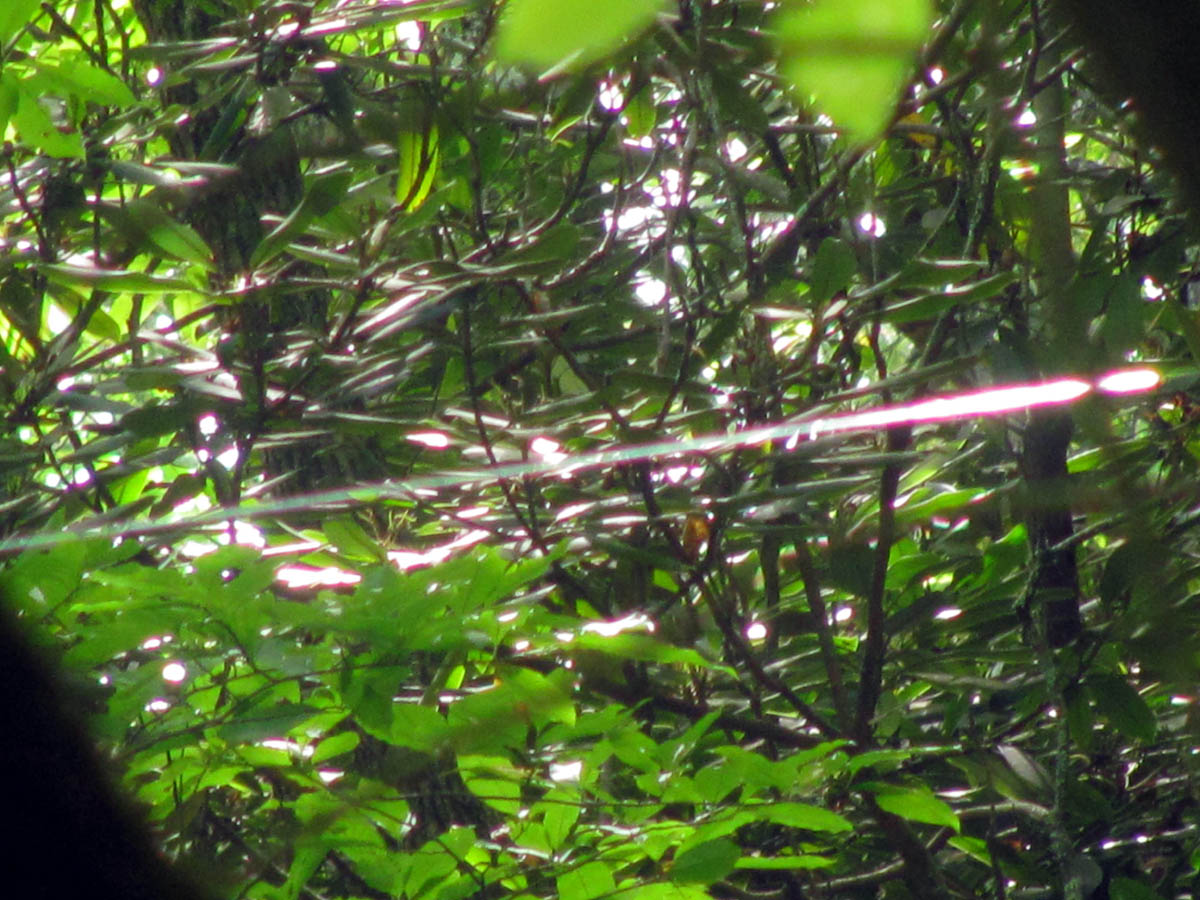
Spider web high wire (zoomed) this thing was huge !
After what seemed like an eternity we finally reached the top of the mountain where I began looking for the connector trail that leads over to the top of the South Harper Creek Falls which also has a side trail off it that would go over to the cliffs that look down on the falls. I had really hoped we would be able to go there but, since it was already our 5th day out and Bol’Dar had to be back on the 6th day, plus we were still a pretty good ways from the end point, not to mention the dreaded road walk to the car, so we decided to bypass that and save it for another time. We could hear the roaring of the massive falls off in the distant valley below so I knew I had found the right trail. There were a few confusing trail intersections after that as it seems every time there was a new trail, that there was no white dots visible to know exactly which way to go. Also having white dots as a trail marker is confusing in itself as there are so many likens and mosses on trees that resemble them. Luckily we made no mistakes and soon enough found ourselves on an old forest road that was on the map and was much easier walking that would lead us across the mountain ridges of Chestnut Mountain and down Burnthouse Branch to the Upper Creek Valley below. We did get some views of Grandfather Mountain and Beacon Heights where we had started some 5 days earlier before beginning the descent to the Upper Creek Valley.
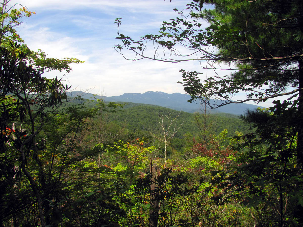
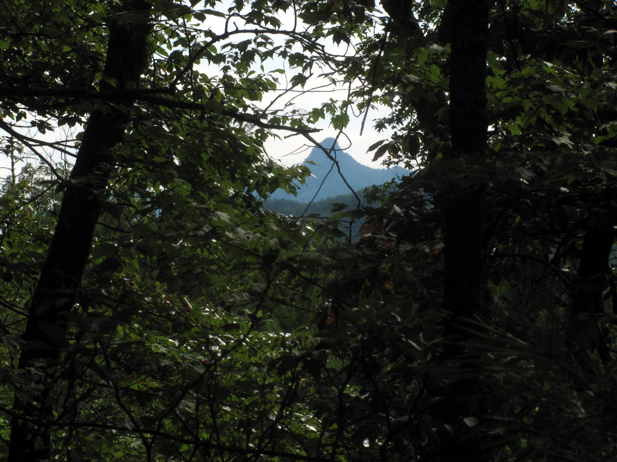
View of Grandfather Mountain (where we started 5 days earlier) from Chestnut Mountain
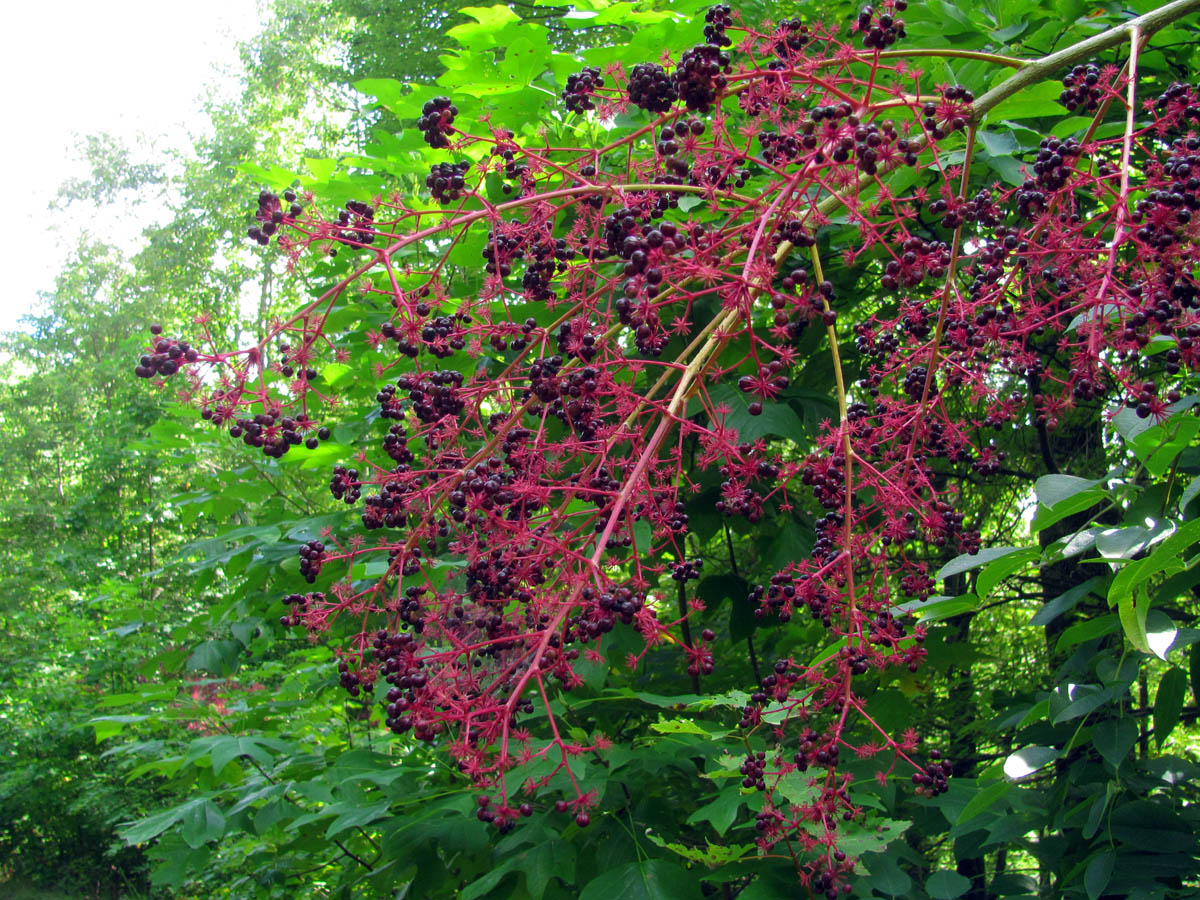
Berries along the trail on Chestnut Mountain
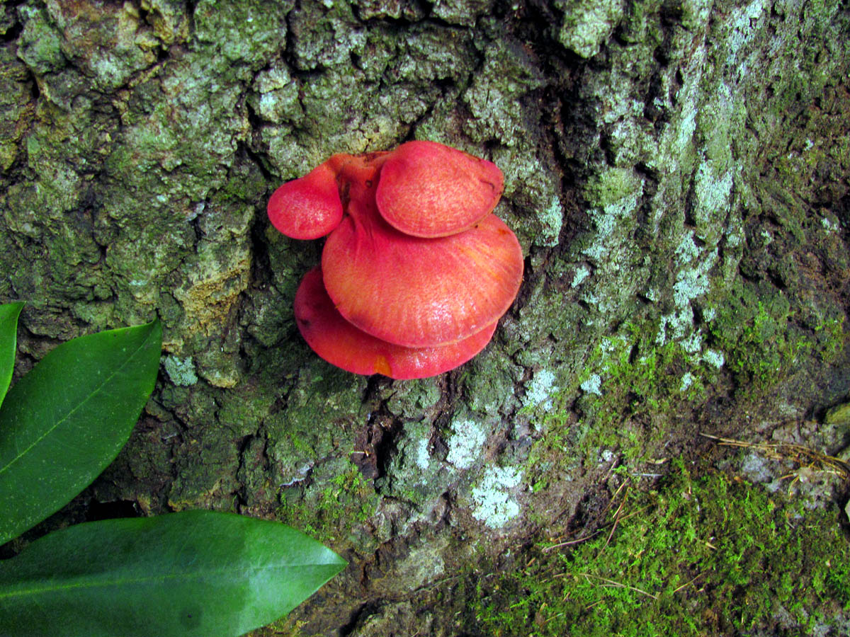
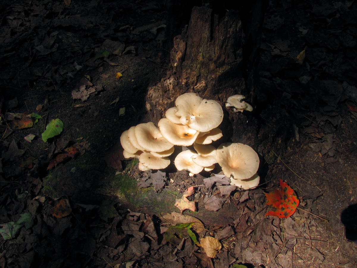
colorful Fungi
More fungi on Chestnut Mountain
A zoomed view of Table Rock that I could see through the trees off to our left on the way down into Upper Creek
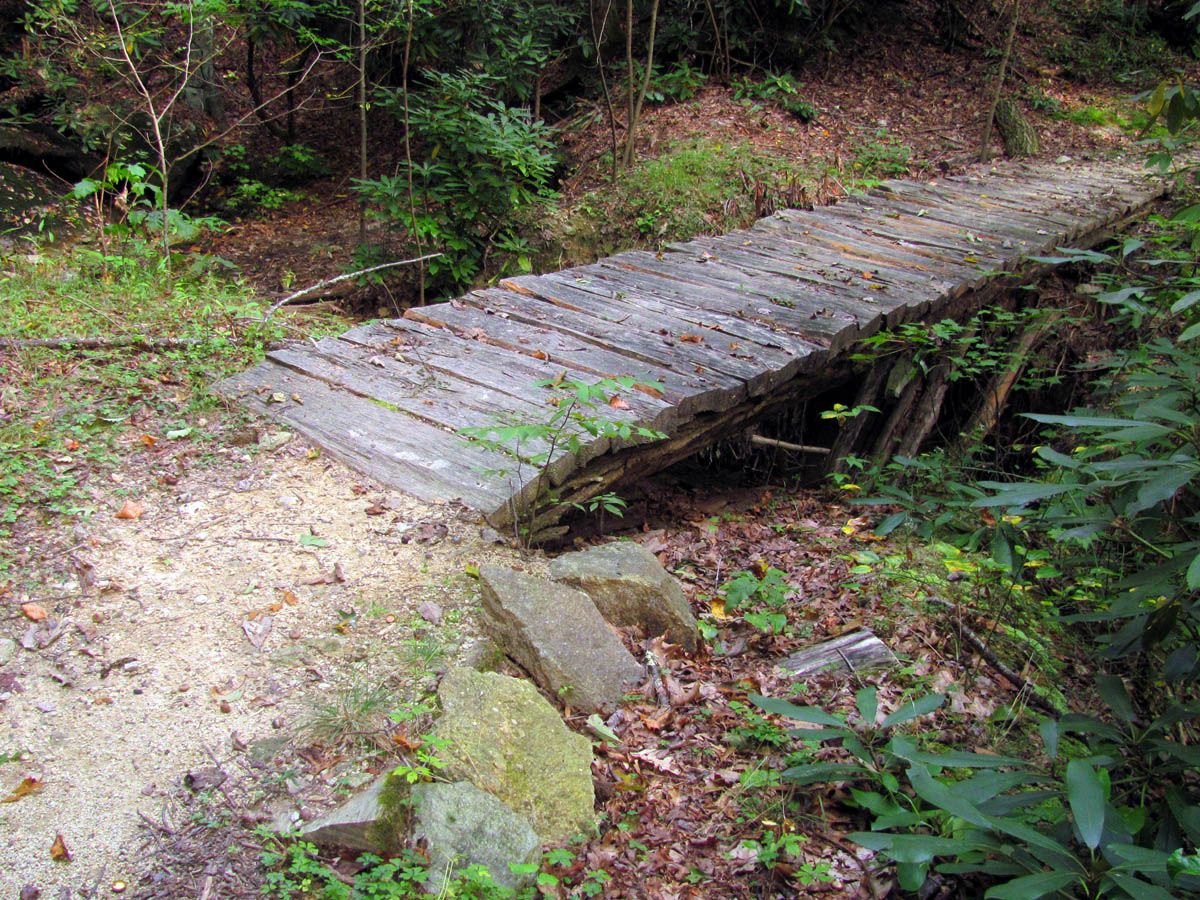
Old wooden bridge on our way down to Upper Creek
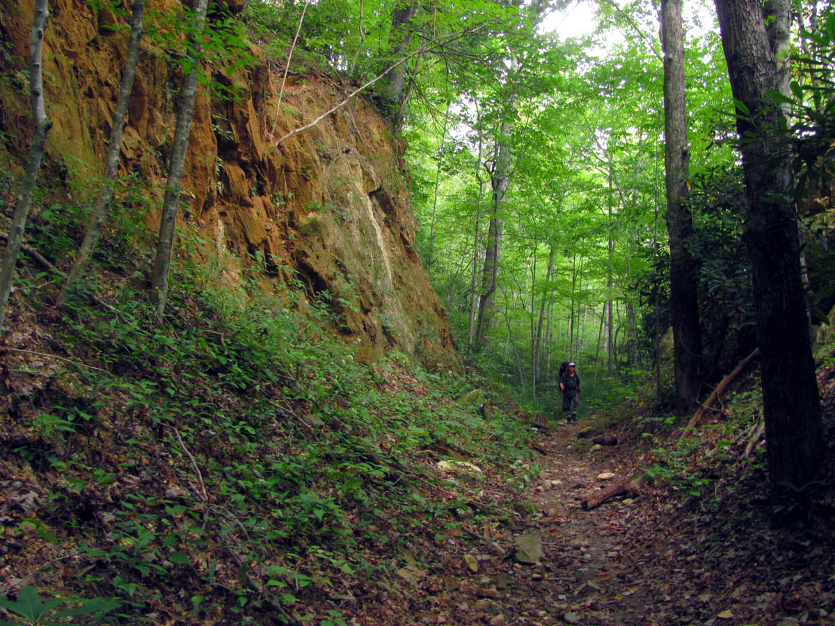
Bol’Dar hiking through a deep ravine on our way to Upper Creek
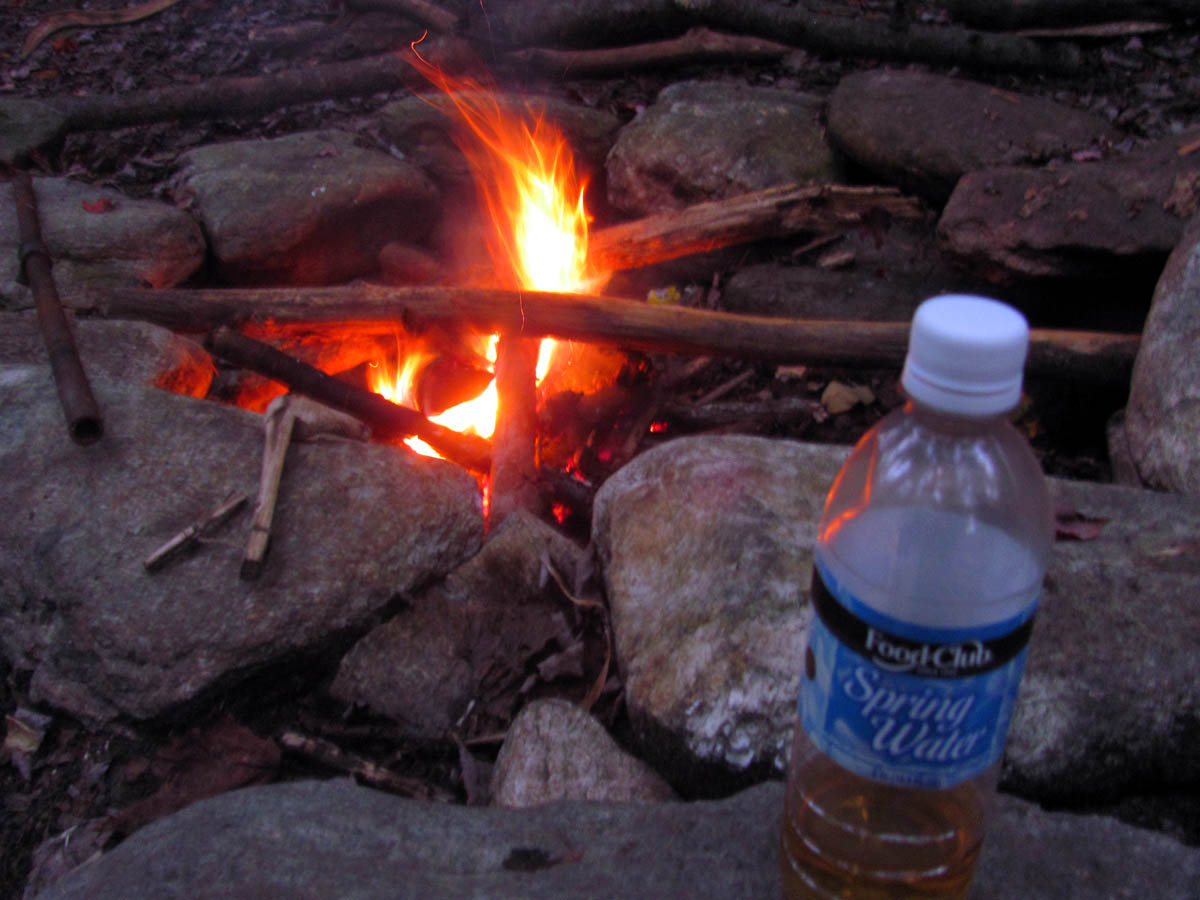
This would be our longest day of the hike and it was late evening before we finally reached Upper Creek where we crossed it on an old guardrail to find a nice camp spot right beside the creek. We had not had any bugs to bother us on the entire trip but as soon as I dropped my pack and began unpacking, the no see-ems started eating us up. The first order of business was to put on some layers despite the warm temps. As soon as I had my tent setup I began to build a fire which would be the first and only one during the whole adventure. It was a nice fire which we enjoyed while we cooked and ate our last supper for this trip and as we drank the last of the Wild Turkey we recalled the adventure so far and already the regret of it being nearly over was setting in along with the impending dread of the arduous road walk that was yet to come the next day. We were feeling tired from the long days hike up the big hill so after the fire died down we retired to our tents and once again a good night`s sleep was had.
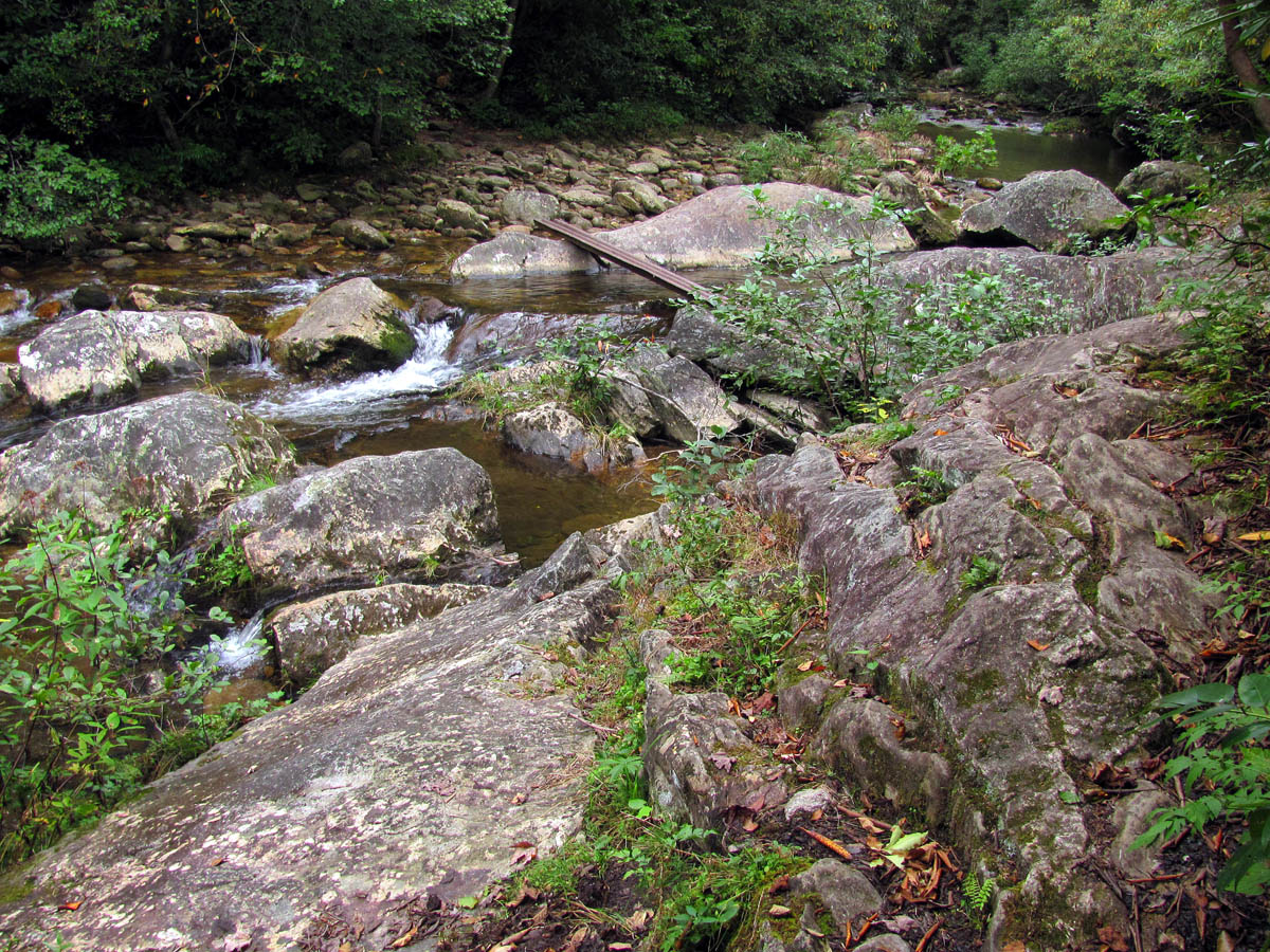
Coming out at Upper Creek
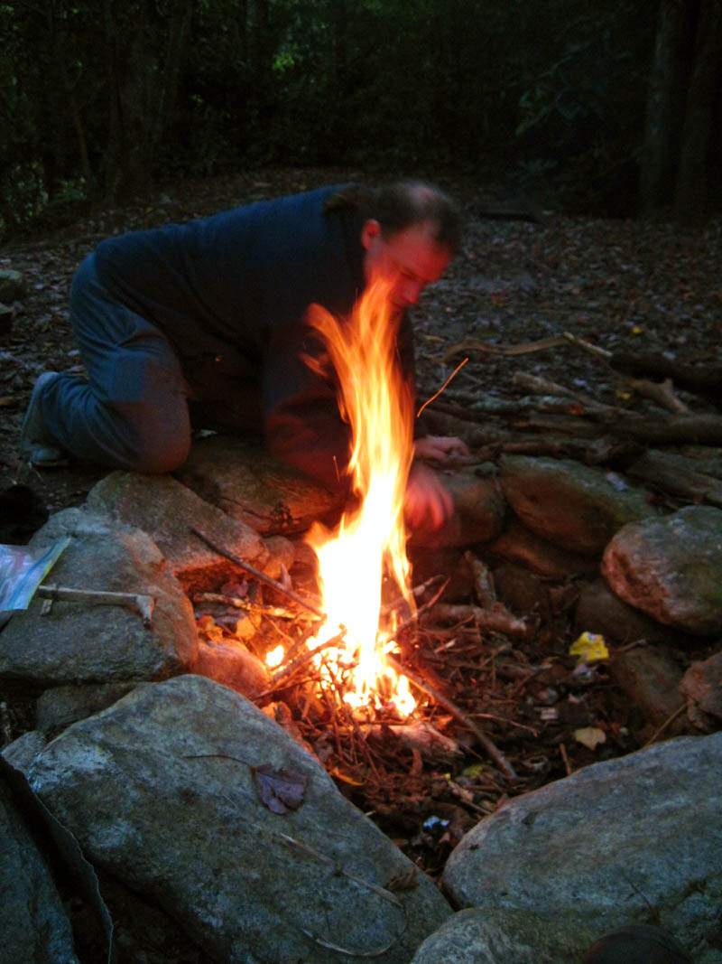
RAT building the fire
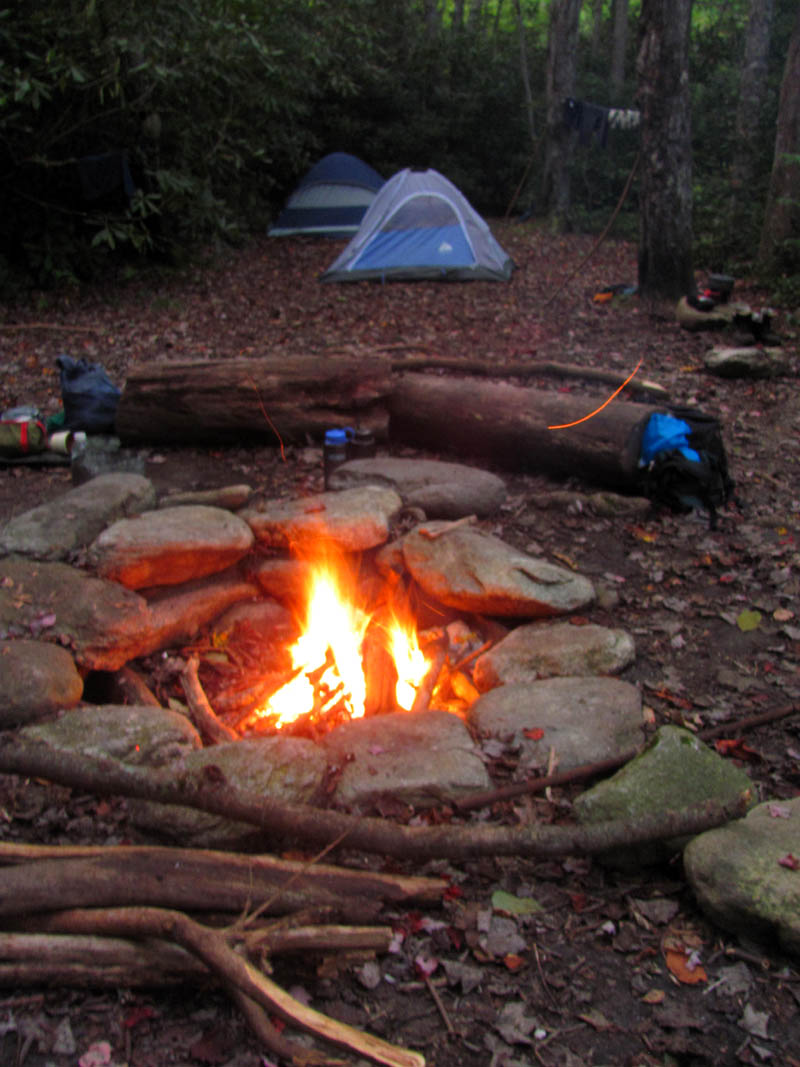
Fireside view of the campsite along Upper Creek
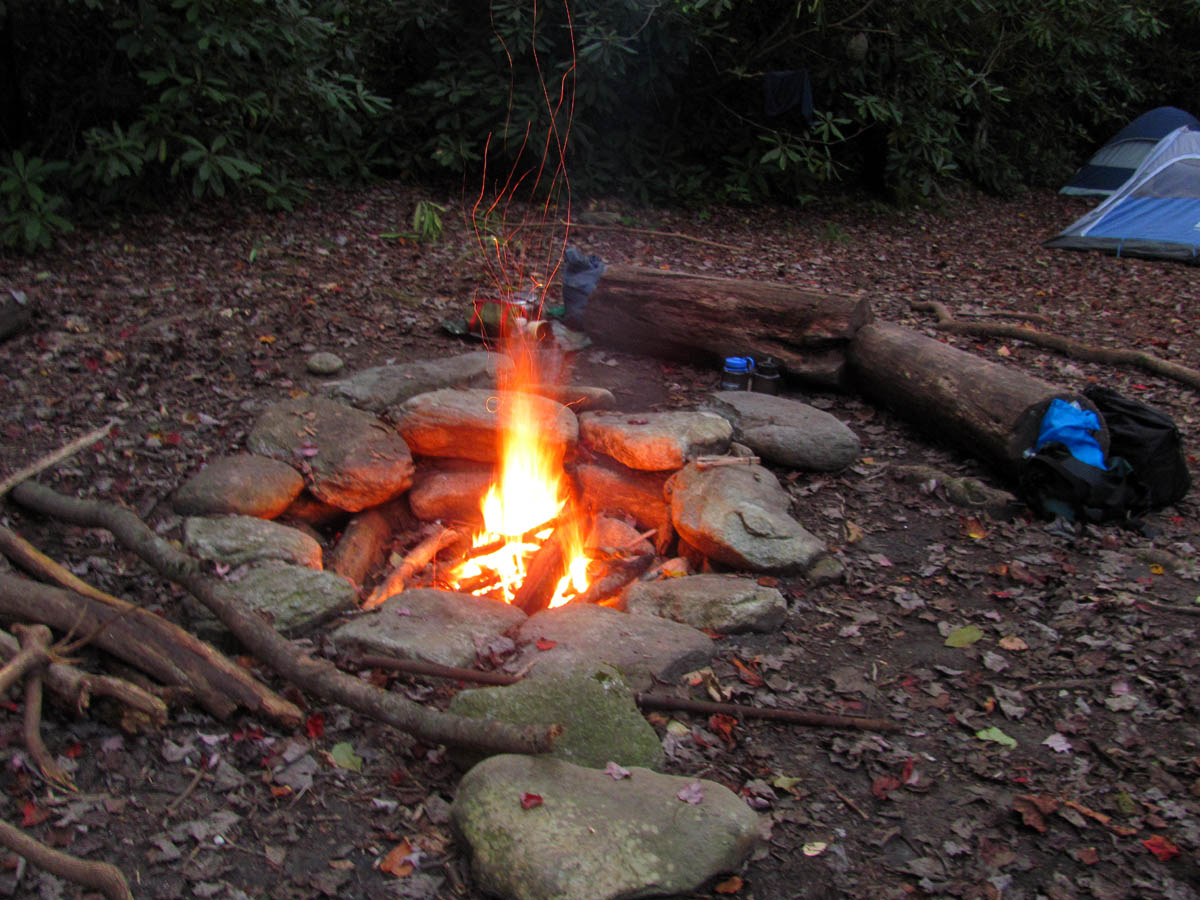
The fire

RAT`s spaghetti supper at Upper Creek
The fire and the last of the Wild Turkey American Honey
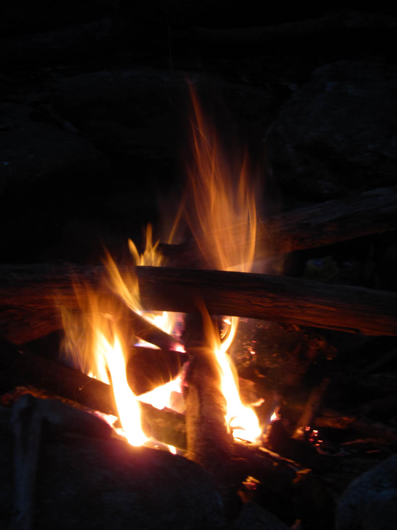
Cool fire pic
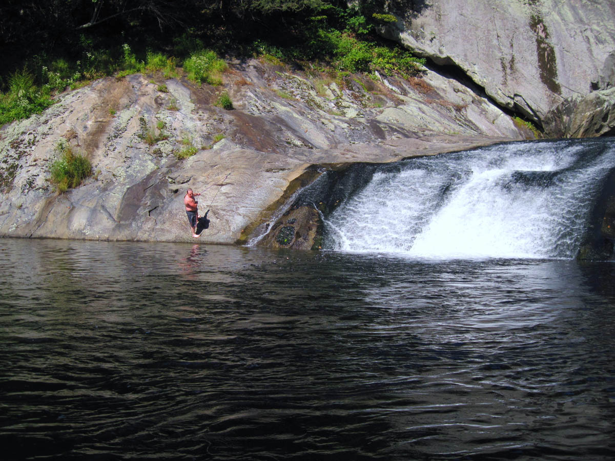
The next morning we awoke to sounds of people coming down from the road above, day hiking around the Upper Creek area. Besides the kids on Beacon Heights, one guy and his dog on the upper part of Gragg Prong Creek, a couple on the lower Gragg Prong Creek, and two fishermen on Upper Creek the day before, we had not met anyone else on the entire trip so we knew the road was not far away. This prompted us to get up and cook some breakfast and I had an extra coffee that I knew would be needed to get us up the steep mile long hill that I had heard about. We were in no hurry to break camp and climb that hill nor were we in a hurry to get to the road walk so we took our time eating and packing up. Eventually we had to begin the climb and a mile later we came out at a nice field just before the road where we took a good long water and snack break.
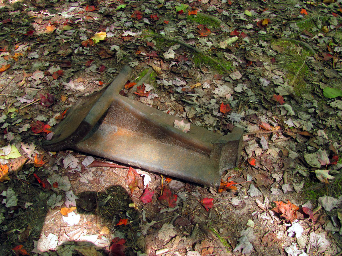
Large piece of iron found near our camp site at Upper Creek. (this was VERY heavy)
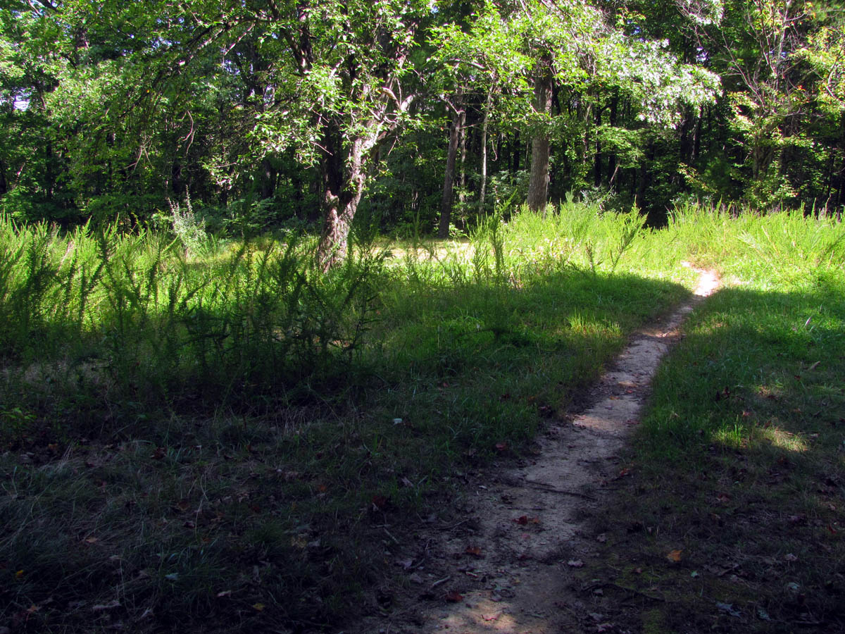
Field near NC 181 after the 1.2 mile hike up from Upper Creek
part of the old field near NC 181

bottle gentian we found growing in the field
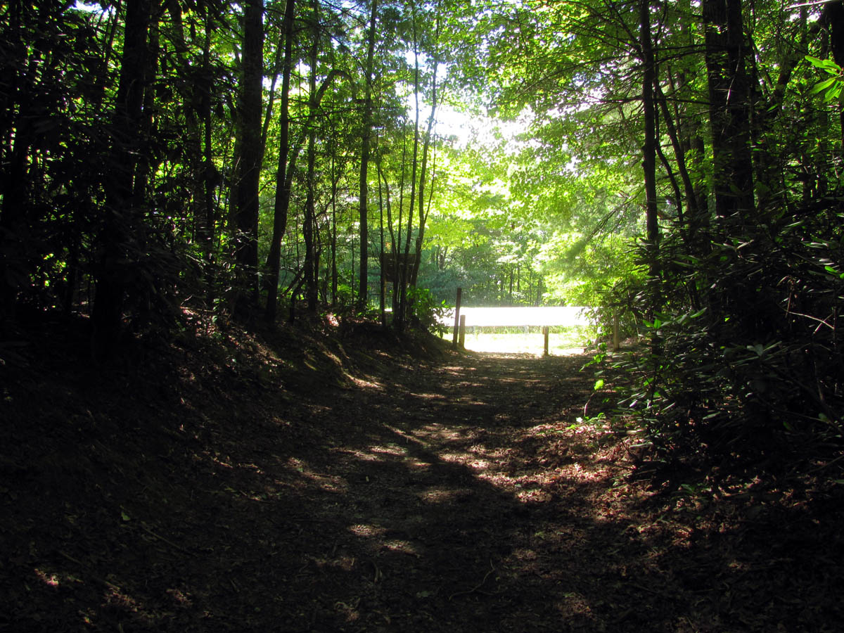
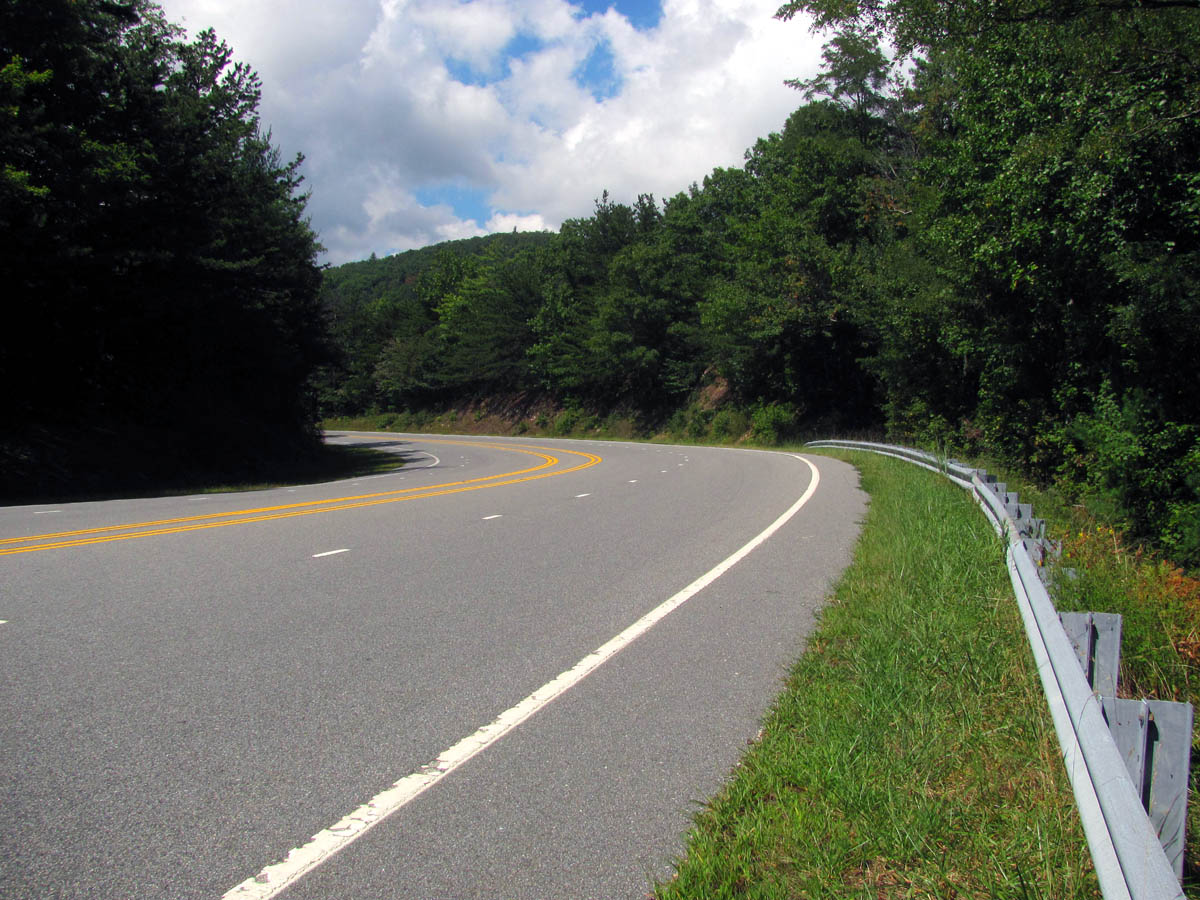
Not far from the field we came to NC 181. This would be the end of the trail for us and the beginning of a grueling road walk.
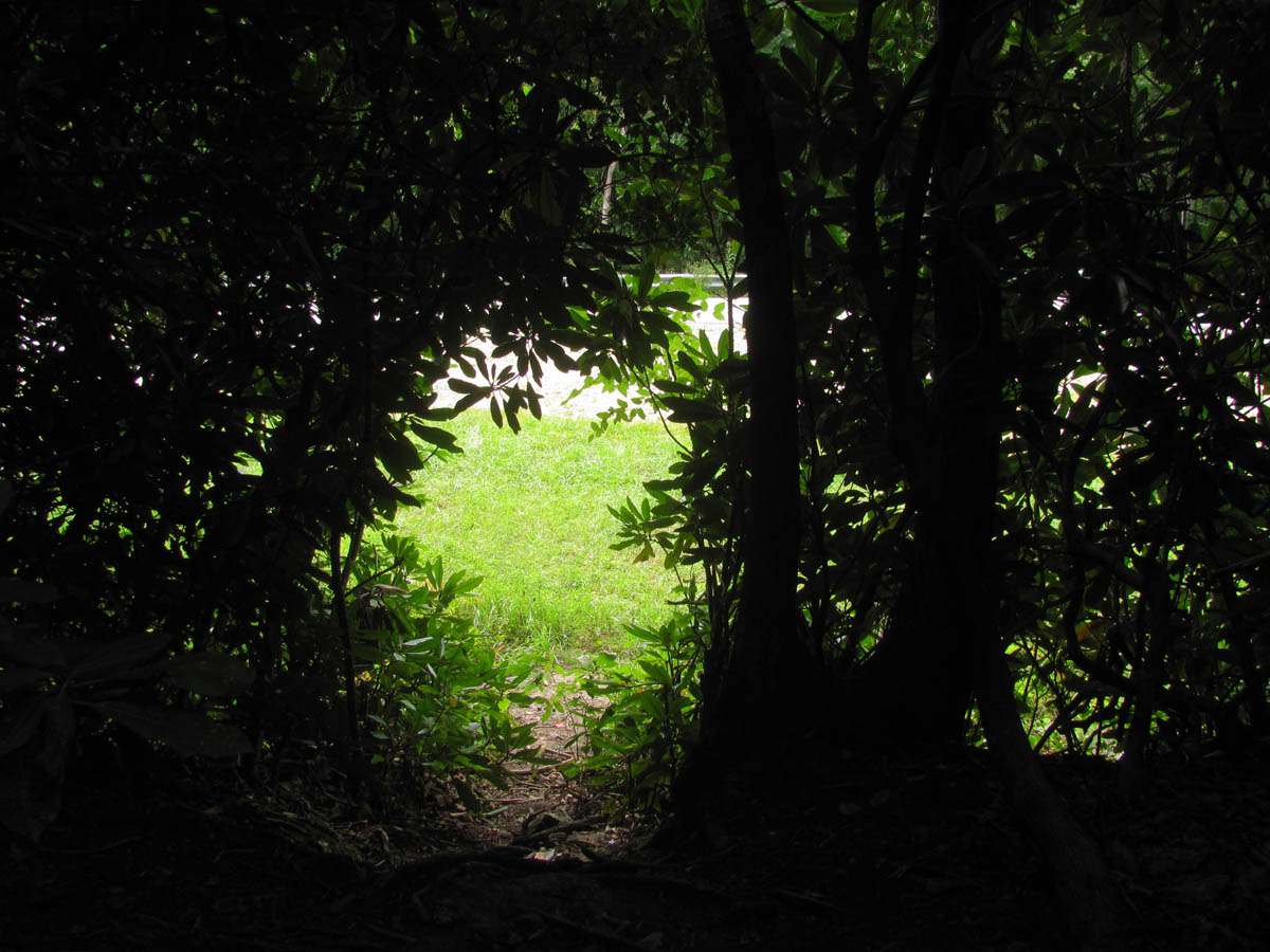
A short distance beyond the field we came out at the road where I was wishing we had left the car ! It was inevitable so we started walking down this two lane highway (NC 181) that was busy with lots of Friday afternoon traffic. Of course no one wanted to pickup a couple of bearded, long haired hikers so, we ended up walking the entire 2.5 miles in the hot sun. The last mile of which was mostly uphill. We stopped every so often to rest and did find this one really cool place that was hidden behind some trees where we found some huge rock cliffs that seemed to go forever up the hill towards the parking area of the Upper Creek Falls trails. It was very cool and secluded there so we took a long break before doing the last mile to the car.
The road walk begins,,,,
Hidden cool spot we found along the road walk where the huge rock formations were
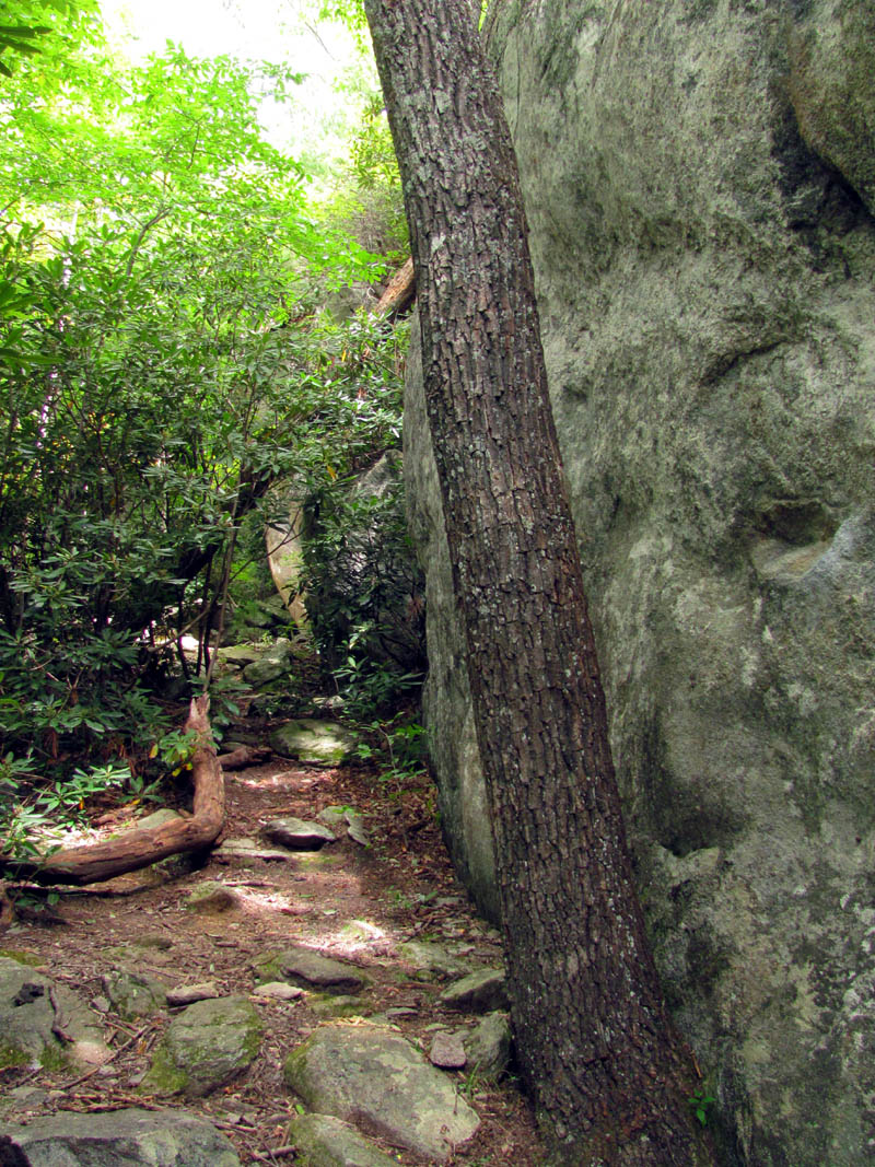
Huge rock formations we discovered hidden behind the trees during the road walk
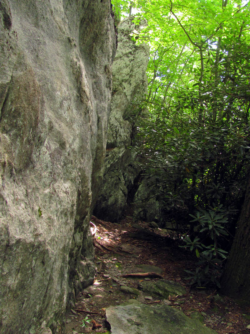
More of the large rock formations we discovered behind the trees along the road walk
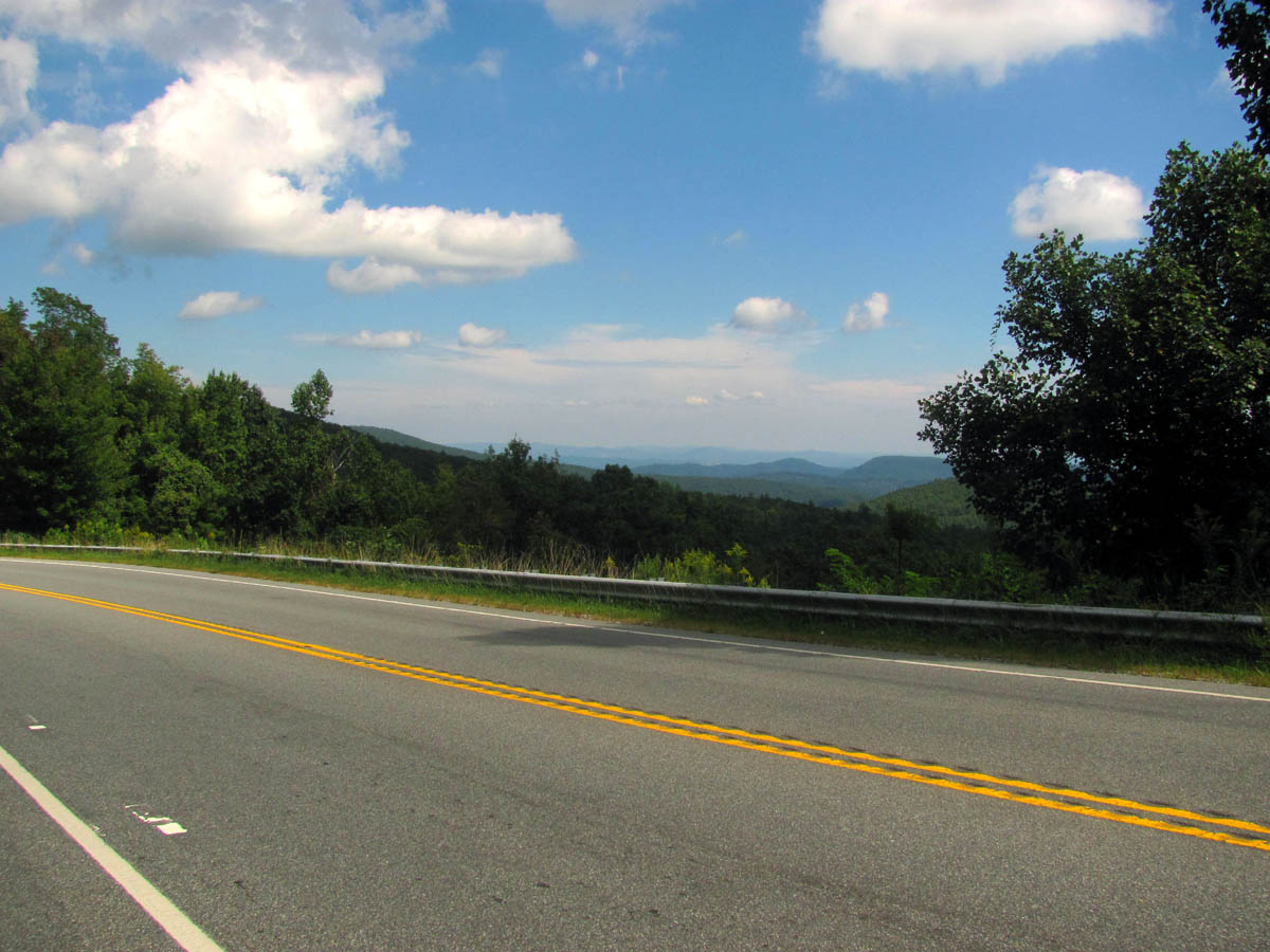
There were some good views to be had during the road walk but it was hard to enjoy them. This is where Bol’Dar accused me “,,,of taking more pictures than a Japanese tourist” !!

Views from the road walk
Bol’Dar was not a happy hiker at this point and expressed this fact many times during the unpleasant and cumbersome distance to the car. My feet were killing me under the weight of the pack and the hardness of the roadside not to mention the cars and trucks whizzing by the very curvy road so close to us. In hindsight I wished I had dropped my pack and left Bol’Dar to watch them while I booked it to the car by myself but we both endured the relentless suffering and were equally as happy when we could see the Upper Creek Acres sign where the car was waiting just up a small hill from there. I do not recall ever being so happy and relieved to see the car. The AC felt so good and I stopped at the first store to have a large waffle cone full of hand dipped butter pecan ice cream as my reward. It had been an awesome 6 days in the woods and one of the most memorable annual birthday hikes yet. I hated for it to end and was wishing that I could just take a day off, get a shower and resupply and continue hiking but that was not possible so going home was the only choice for us. I am already planning next years adventure.
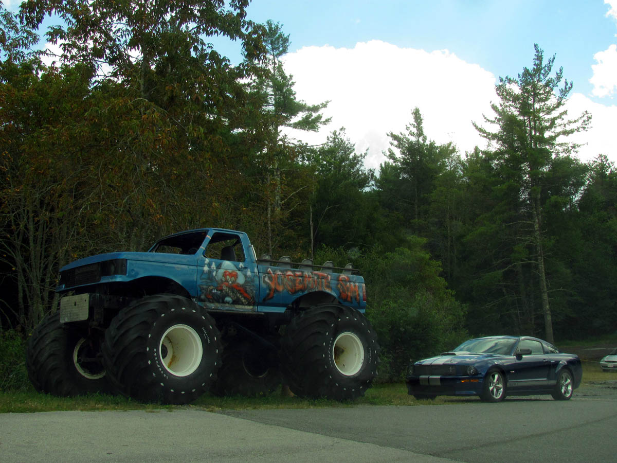
Monster truck that is always parked at the store not far from the trail head where I got the ice cream at

 My name is 'RAT' and I love the mountains and waterfalls of the East TN. area where I live and I hope you enjoy this blog about my outdoor adventures.


One Comment to “RAT`s Annual Birthday Hike Sept. 2012”