Wilderness Falls – 11-28-2012
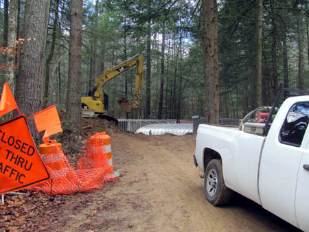
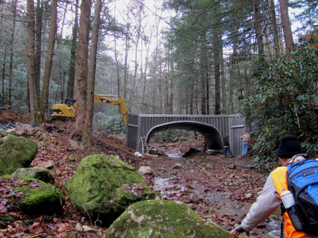
Ever since my friend Bol’Dar discovered the hidden waterfalls that we named ‘Wilderness Falls‘ we have been trying to get an accurate measurement of their approximate height but, due to the extremely steep terrain and growth around these falls, it has been a difficult task. We decided to make a trip there now that the leaves are all down and there is very little water flowing to see if we could get the numbers we needed. To do this we recruited the help of Dave Aldridge, our waterfall loving friend who has a laser hypsometer that he uses to get some very accurate readings on waterfall heights. It was a chilly but sunny morning when Dave, Bol’Dar and myself met at Hairnt-Quarters around 9:30am. It is a short drive to Clarks Creek from there so after stopping for coffee we were on the trail by 10am. The road is blocked at this time with the construction of a new bridge over Longarm Branch but, since we were actually going up the Longarm Branch Trail this was not much of a detour. We just had to negotiate around the new bridge by going up Clarks Creek as the bridge is located where the two creeks come together.
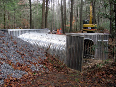
I have seen a lot of bridges built in my time but never one quite like this one as it seems they have built a metal structure much like an outdoor storage building, surrounded by gravel and I assume they will pour concrete over and around it. They were working there this morning but seemed very used to hikers parking there and going around them.
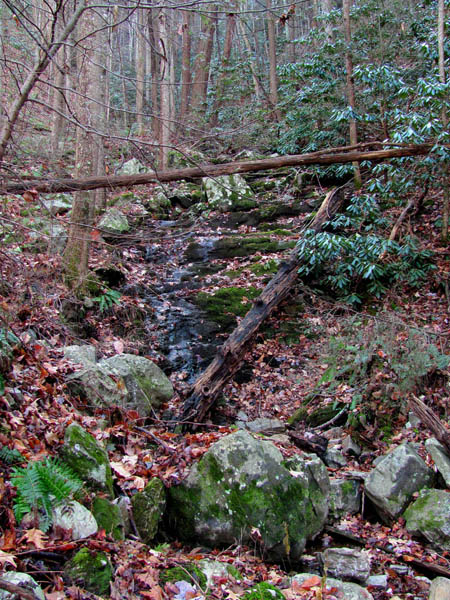
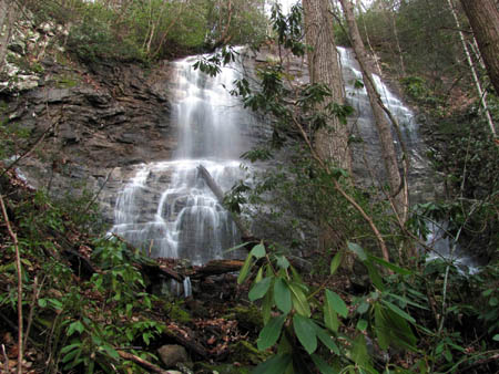
It did not take long to get to the Longarm Branch Trail and soon we were crossing the creeks and hiking up the old mountain road towards the turn off to the falls. The Wilderness Hollow is very narrow and incredibly steep. There is not a visible trail and there are some obstacles so, it would be hard to find without knowing where it is. It did not take long before we reached the first set of falls there that we call the Lower Wilderness Falls. They do not even look like waterfalls without any water on them but they are very nice when the water is up.
From there the climb becomes steeper as the primitive trail all but ends and you have to find the best way you can to traverse the steep hill on the left side of the falls to make your way to the largest of the falls we call the Middle Wilderness Falls. Dave had not been to the base of these before but was determined to make it this time. It was not easy but with Bol’Dar at the lead, and myself bringing up the rear, we put Dave in the middle and did a few switchbacks, slowly up the loose rocks hidden beneath the fallen leaves until eventually we made it to the base of the middle falls.
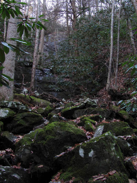
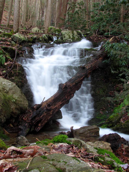
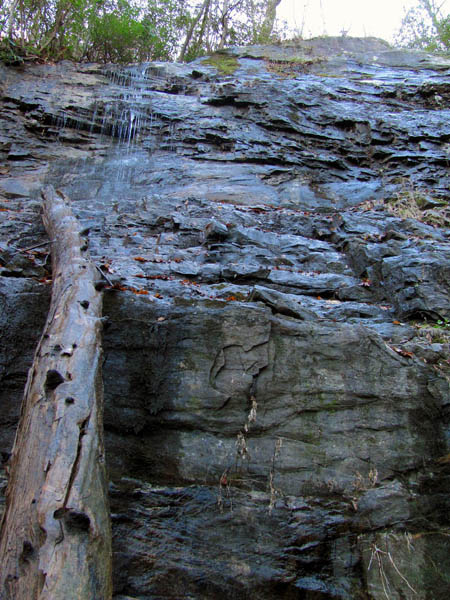
Looking up at the Middle Wilderness Falls over the other lower levels (drops) of these falls. Note: You would not be able to stand here during high water !
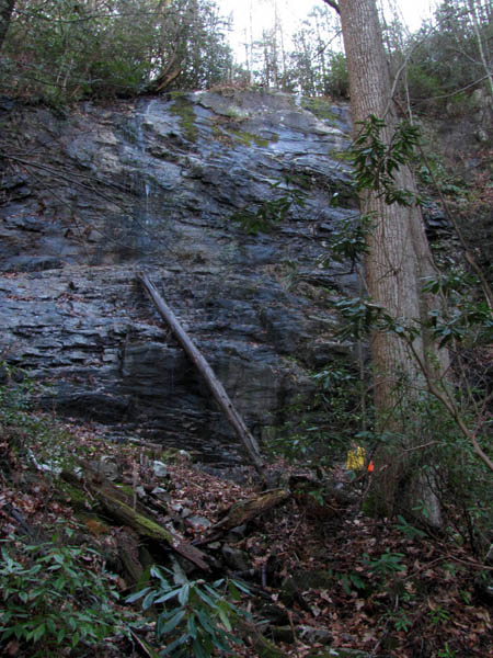
Dave was able to get some accurate measurements of between 90 and 92 feet high. Of course there are a few other drops or smaller falls immediately below the base of the middle falls that during higher water times could easily be considered part of those falls making the total height of the middle falls to be conservatively at least 150 feet tall. We had already been to the Upper Wilderness Falls earlier in the year and got measurements there so the mission was now complete. The Upper Wilderness Falls are between 80 and 90 feet as well when you add both the cascade part at the top and then the free fall of the lower section of them together. We ate lunch at the base of the Middle Wilderness Falls before beginning the tedious descent down from the falls. You can see the mighty Longarm Ridge glowing in the sun from here.
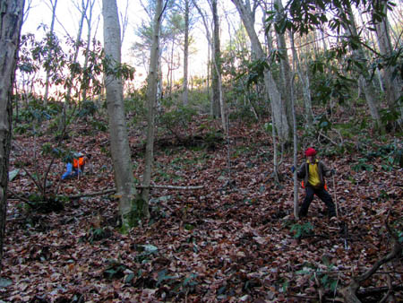
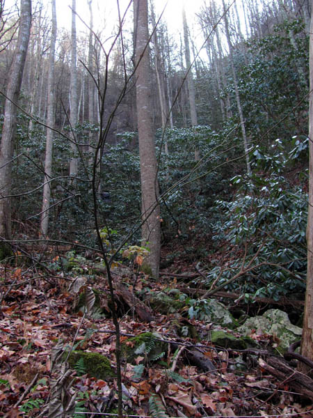
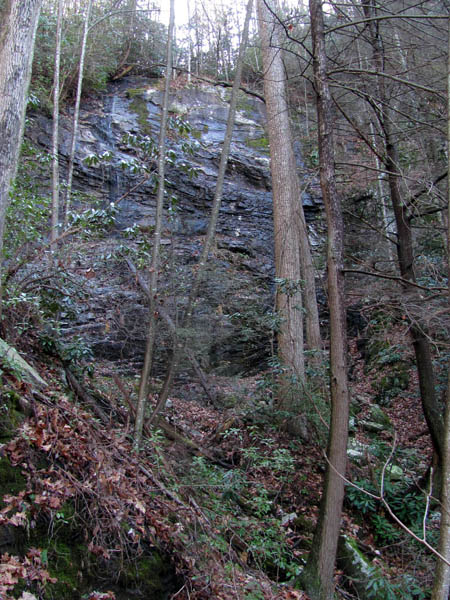
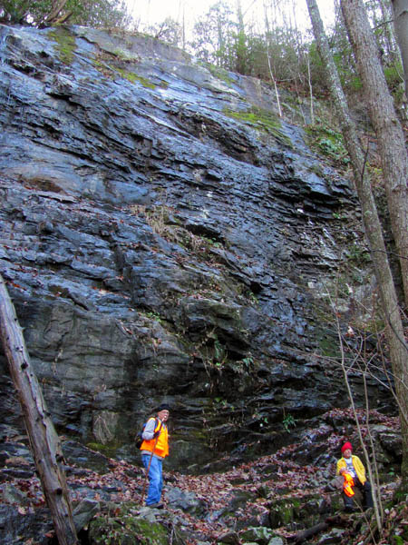
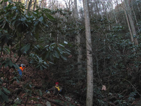
Dave and Bol’Dar descending from the Middle Wilderness Falls (cameras do not show steepness but it looks steep in this pic so use your imagination how steep it really is ! )
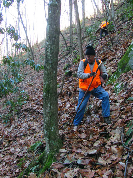
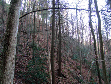
Dave and Bol’Dar descending down the steep hill from the Middle Wilderness Falls (camera does not do the steepness justice)
It was basically a reverse of the ascent only more dangerous but taking our time we made it back down without incident and were soon back down into the sharp V of the valley where the primitive trail leads back to the Longarm Branch Trail. Once there it is an easy downhill hike back down the mountain across the creek a few times and back to the vehicle. It was early evening by the time we got back and despite the low water levels, we had done what we set out to accomplish and of course any day in the woods is a great day.



 My name is 'RAT' and I love the mountains and waterfalls of the East TN. area where I live and I hope you enjoy this blog about my outdoor adventures.


Leave a Comment